Timeline
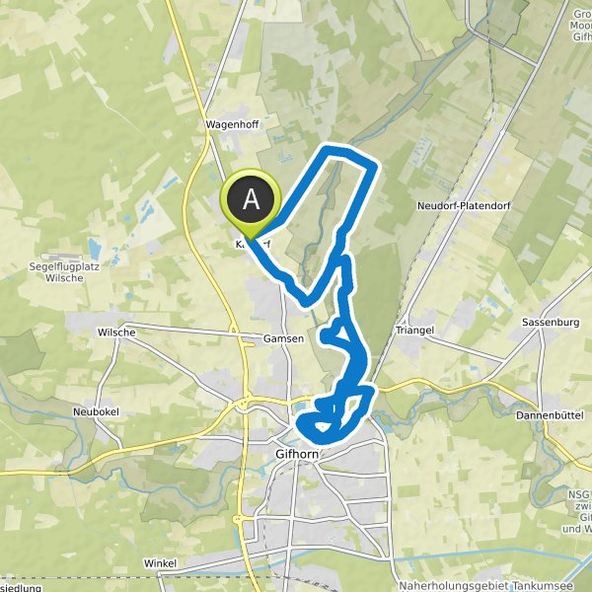
Tobias Seibert planned a hike
October 15, 2022
Time
Distance
Speed
Ascent
Descent
Tobias Seibert planned a hike
October 14, 2022
Time
Distance
Speed
Ascent
Descent
Tobias Seibert planned a hike
October 14, 2022
Time
Distance
Speed
Ascent
Descent
Tobias Seibert planned a hike
October 14, 2022
Time
Distance
Speed
Ascent
Descent
Tobias Seibert planned a hike
September 22, 2022
Time
Distance
Speed
Ascent
Descent
Tobias Seibert planned a hike
September 20, 2022
Time
Distance
Speed
Ascent
Descent
Tobias Seibert planned a hike
September 20, 2022
Time
Distance
Speed
Ascent
Descent
Tobias Seibert planned a hike
September 20, 2022
Time
Distance
Speed
Ascent
Descent
Tobias Seibert and Olaf Stenzel planned a hike
July 23, 2022
Time
Distance
Speed
Ascent
Descent
Tobias Seibert planned a hike
June 15, 2022
Time
Distance
Speed
Ascent
Descent
fynn.krueger and Tobias Seibert planned a hike
June 6, 2022
Time
Distance
Speed
Ascent
Descent
Tobias Seibert planned a bike ride
October 30, 2021
Time
Distance
Speed
Ascent
Descent
Tobias Seibert planned a bike ride
October 30, 2021
Time
Distance
Speed
Ascent
Descent

Tobias Seibert planned a bike ride
October 30, 2021
Time
Distance
Speed
Ascent
Descent

Tobias Seibert planned a run
October 30, 2021
Time
Distance
Pace
Ascent
Descent
