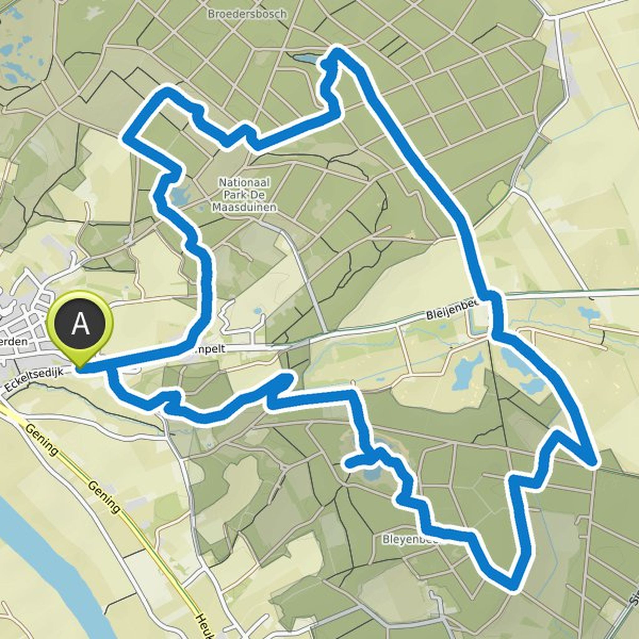
Timeline
Svenja planned a hike
July 28, 2022
Time
Distance
Speed
Ascent
Descent
Svenja planned a hike
July 28, 2022
Time
Distance
Speed
Ascent
Descent
Svenja planned a hike
July 28, 2022
Time
Distance
Speed
Ascent
Descent
Svenja planned a hike
July 27, 2022
Time
Distance
Speed
Ascent
Descent
Svenja planned a hike
July 27, 2022
Time
Distance
Speed
Ascent
Descent
Svenja planned a hike
July 27, 2022
Time
Distance
Speed
Ascent
Descent
Svenja planned a hike
July 27, 2022
Time
Distance
Speed
Ascent
Descent
Svenja planned a hike
July 27, 2022
Time
Distance
Speed
Ascent
Descent
Svenja planned a hike
July 24, 2022
Time
Distance
Speed
Ascent
Descent
Svenja planned a hike
July 24, 2022
Time
Distance
Speed
Ascent
Descent
Svenja planned a hike
July 23, 2022
Time
Distance
Speed
Ascent
Descent
Svenja planned a hike
July 23, 2022
Time
Distance
Speed
Ascent
Descent
Svenja planned a hike
July 23, 2022
Time
Distance
Speed
Ascent
Descent
Svenja planned a hike
July 23, 2022
Time
Distance
Speed
Ascent
Descent
Svenja planned a hike
October 27, 2021
Time
Distance
Speed
Ascent
Descent