Timeline
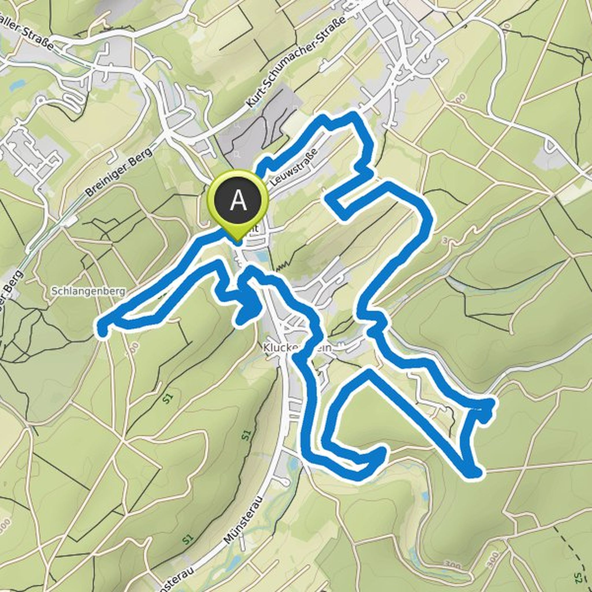
Hans planned a hike
February 2, 2026
Time
5h03m
Distance
18.1km
Speed
3.6km/h
Ascent
380m
Descent
290m
Map data © OpenStreetMap contributors
Hans planned a hike
June 26, 2025
Time
5h44m
Distance
20.2km
Speed
3.5km/h
Ascent
430m
Descent
430m
Map data © OpenStreetMap contributors
Hans planned a hike
August 30, 2024
Time
6h21m
Distance
23.8km
Speed
3.8km/h
Ascent
260m
Descent
250m
Map data © OpenStreetMap contributors
Hans planned a bike ride
July 23, 2022
Time
16h02m
Distance
216km
Speed
13.5km/h
Ascent
2,940m
Descent
2,940m
Map data © OpenStreetMap contributors
Hans planned a hike
June 28, 2022
Time
2h25m
Distance
7.02km
Speed
2.9km/h
Ascent
240m
Descent
230m
Map data © OpenStreetMap contributors
Hans planned a hike
August 26, 2021
Time
85h17m
Distance
299km
Speed
3.5km/h
Ascent
6,730m
Descent
7,130m

Map data © OpenStreetMap contributors

Hans planned a hike
May 4, 2020
Time
3h32m
Distance
12.7km
Speed
3.6km/h
Ascent
230m
Descent
230m
Map data © OpenStreetMap contributors
Hans planned a hike
April 29, 2020
Time
2h50m
Distance
10.4km
Speed
3.7km/h
Ascent
140m
Descent
140m

Map data © OpenStreetMap contributors
Hans planned a hike
October 9, 2019
Time
4h52m
Distance
16.6km
Speed
3.4km/h
Ascent
440m
Descent
510m

Map data © OpenStreetMap contributors
Hans planned a hike
July 10, 2019
Time
5h07m
Distance
18.5km
Speed
3.6km/h
Ascent
390m
Descent
200m

Map data © OpenStreetMap contributors
Hans planned a hike
February 4, 2013
Time
3h33m
Distance
13.0km
Speed
3.7km/h
Ascent
200m
Descent
200m

Map data © OpenStreetMap contributors
August 9, 2023
Gravel paths and roads... beautiful nature yes, but very little of it... no information signs with historical data (would be advisable).
Translated by Google •