Timeline
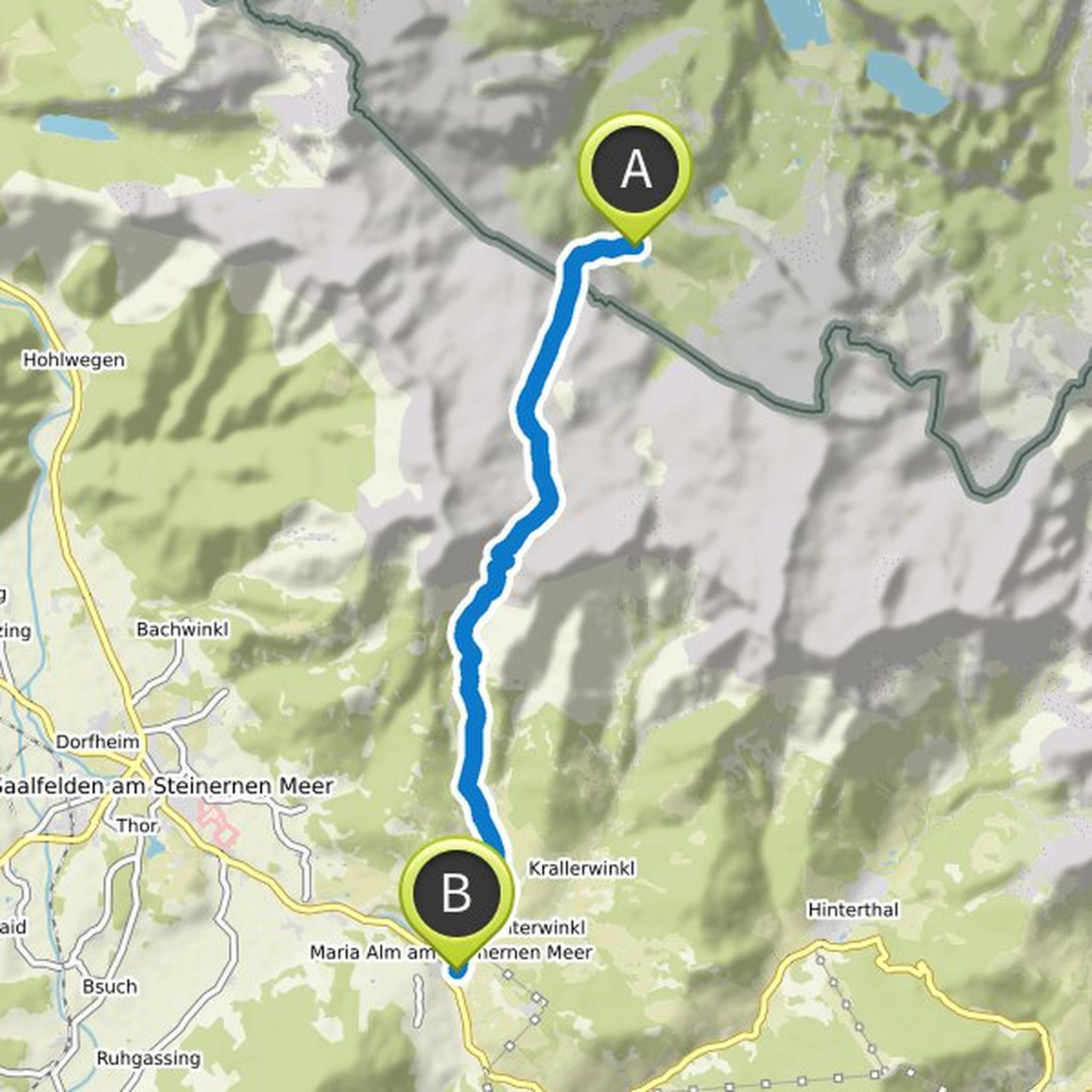
Anja Wirth planned a hike
July 10, 2022
Time
2h31m
Distance
8.43km
Speed
3.3km/h
Ascent
260m
Descent
260m
Map data © OpenStreetMap contributors
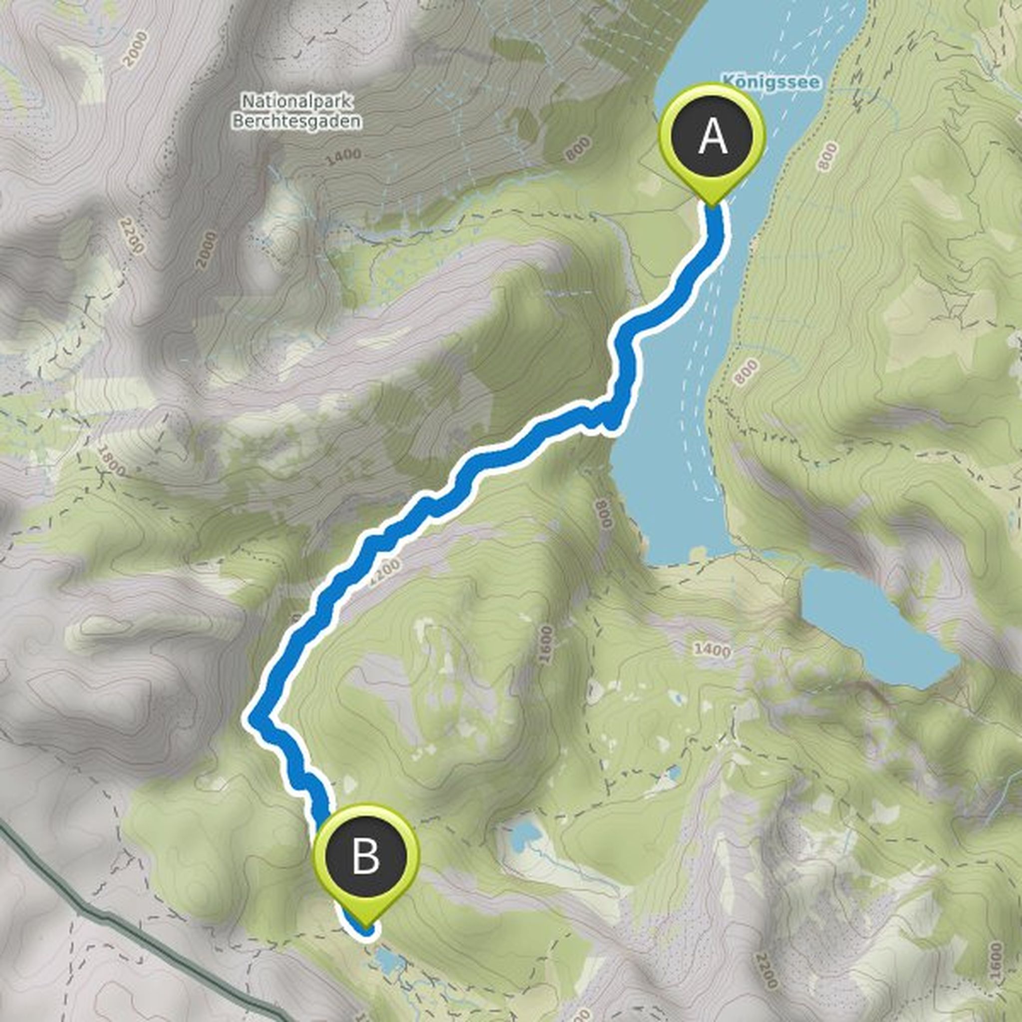
sschoen and others planned a hike
August 14, 2020
Time
7h02m
Distance
16.6km
Speed
2.4km/h
Ascent
1,290m
Descent
1,090m

Map data © OpenStreetMap contributors
sschoen and others planned a hike
August 14, 2020
Time
4h56m
Distance
9.89km
Speed
2.0km/h
Ascent
1,090m
Descent
840m

Map data © OpenStreetMap contributors
sschoen and others planned a hike
August 14, 2020
Time
4h12m
Distance
10.2km
Speed
2.4km/h
Ascent
900m
Descent
260m

Map data © OpenStreetMap contributors
sschoen and others planned a hike
August 14, 2020
Time
0h32m
Distance
1.53km
Speed
2.9km/h
Ascent
140m

Map data © OpenStreetMap contributors
sschoen and others planned a hike
August 14, 2020
Time
7h20m
Distance
17.3km
Speed
2.4km/h
Ascent
920m
Descent
1,120m

Map data © OpenStreetMap contributors
sschoen and others planned a hike
August 14, 2020
Time
6h16m
Distance
14.3km
Speed
2.3km/h
Ascent
580m
Descent
1,390m
Map data © OpenStreetMap contributors
sschoen and others planned a hike
August 14, 2020
Time
4h57m
Distance
10.7km
Speed
2.2km/h
Ascent
1,090m
Descent
60m
Map data © OpenStreetMap contributors
sschoen and others planned a hike
August 14, 2020
Time
4h41m
Distance
8.65km
Speed
1.8km/h
Ascent
1,140m
Descent
540m

Map data © OpenStreetMap contributors