Timeline
Kraft planned a mountain bike ride
May 12, 2020
Time
2h37m
Distance
26.5km
Speed
10.2km/h
Ascent
580m
Descent
580m
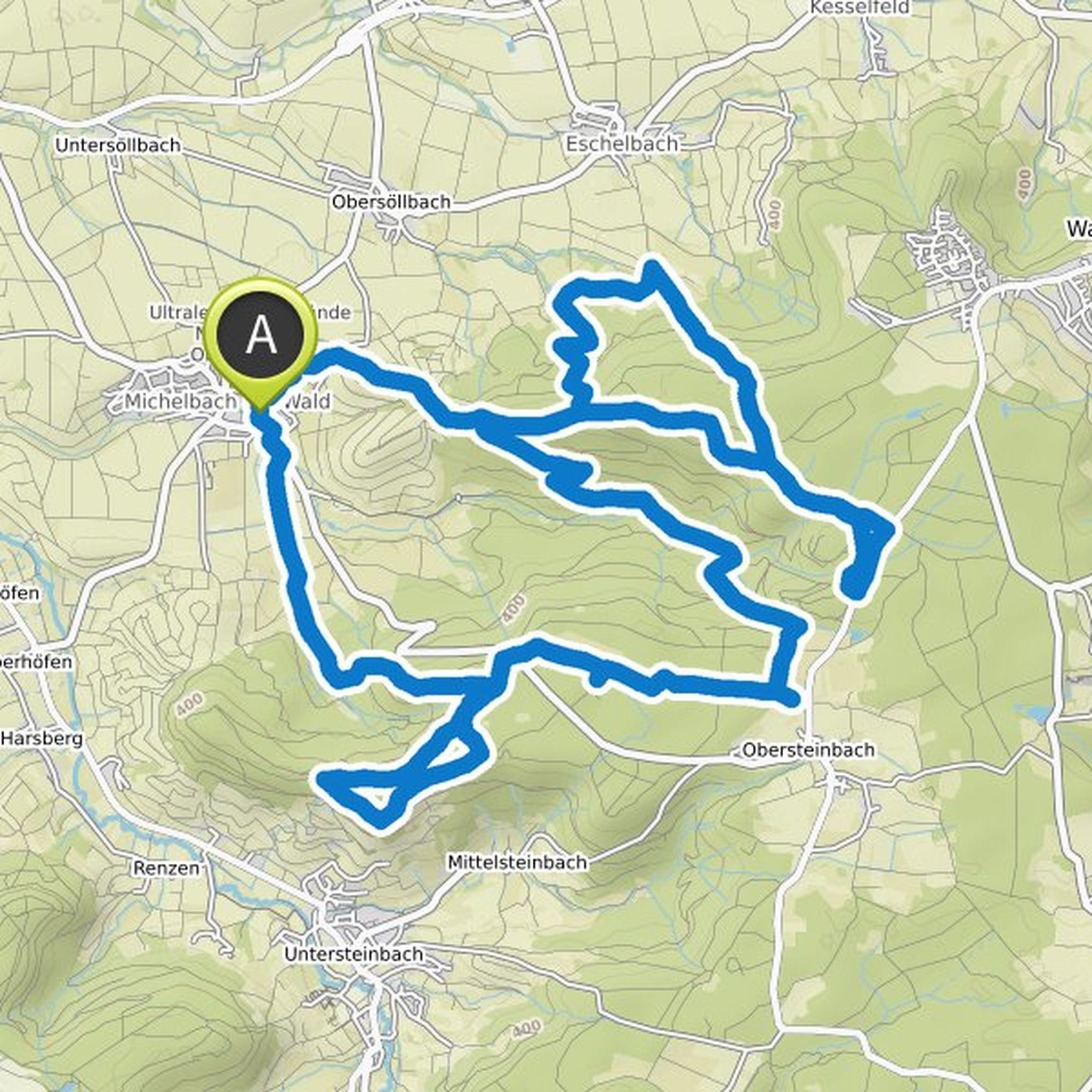
Map data © OpenStreetMap contributors
Kraft planned a mountain bike ride
April 30, 2020
Time
2h09m
Distance
24.4km
Speed
11.4km/h
Ascent
430m
Descent
440m
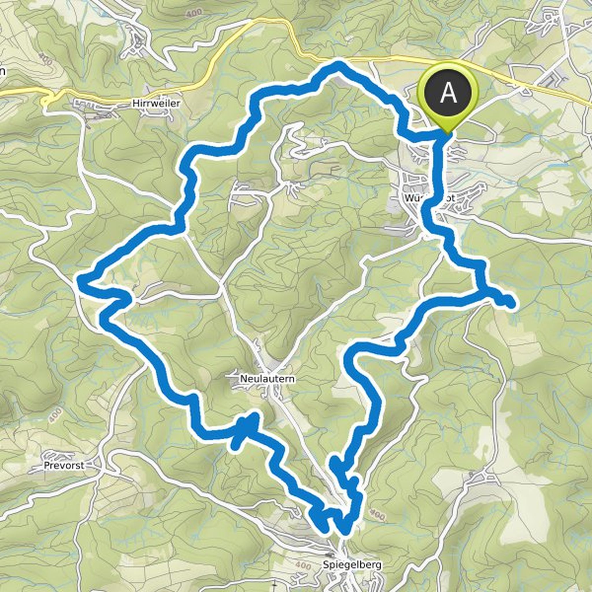
Map data © OpenStreetMap contributors
Kraft planned a mountain bike ride
April 30, 2020
Time
2h49m
Distance
36.1km
Speed
12.8km/h
Ascent
500m
Descent
500m
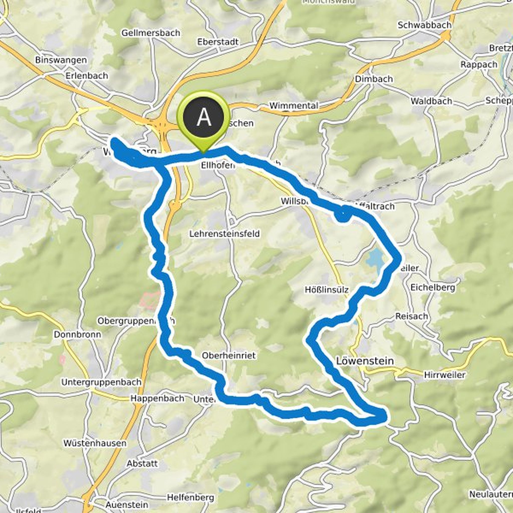
Map data © OpenStreetMap contributors
Kraft planned a mountain bike ride
April 30, 2020
Time
2h30m
Distance
25.3km
Speed
10.1km/h
Ascent
590m
Descent
590m
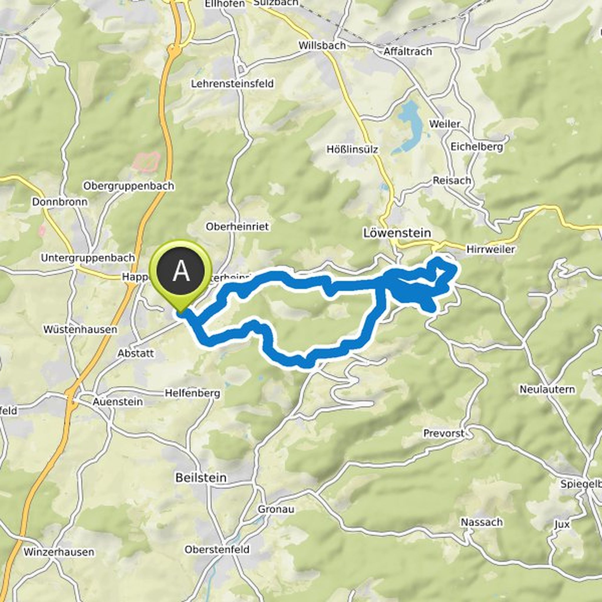
Map data © OpenStreetMap contributors
August 30, 2021
Hi there,
in the absence of any other possibility, I am writing here.
Some time ago they warned mountain bikers not to ride the Mühlgrabentrail near Löwenstein.
Question: Is the Mühlgrabentrail accessible on foot or does something speak against walking it?
Thanks very much!
Translated by Google •