Timeline
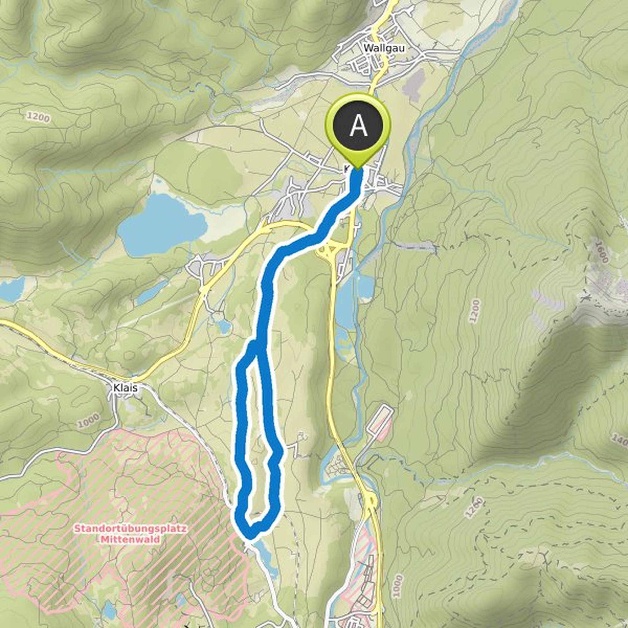
Britta Göckeritz and Hias planned a hike
December 28, 2025
Time
3h11m
Distance
12.4km
Speed
3.9km/h
Ascent
50m
Descent
50m
Map data © OpenStreetMap contributors
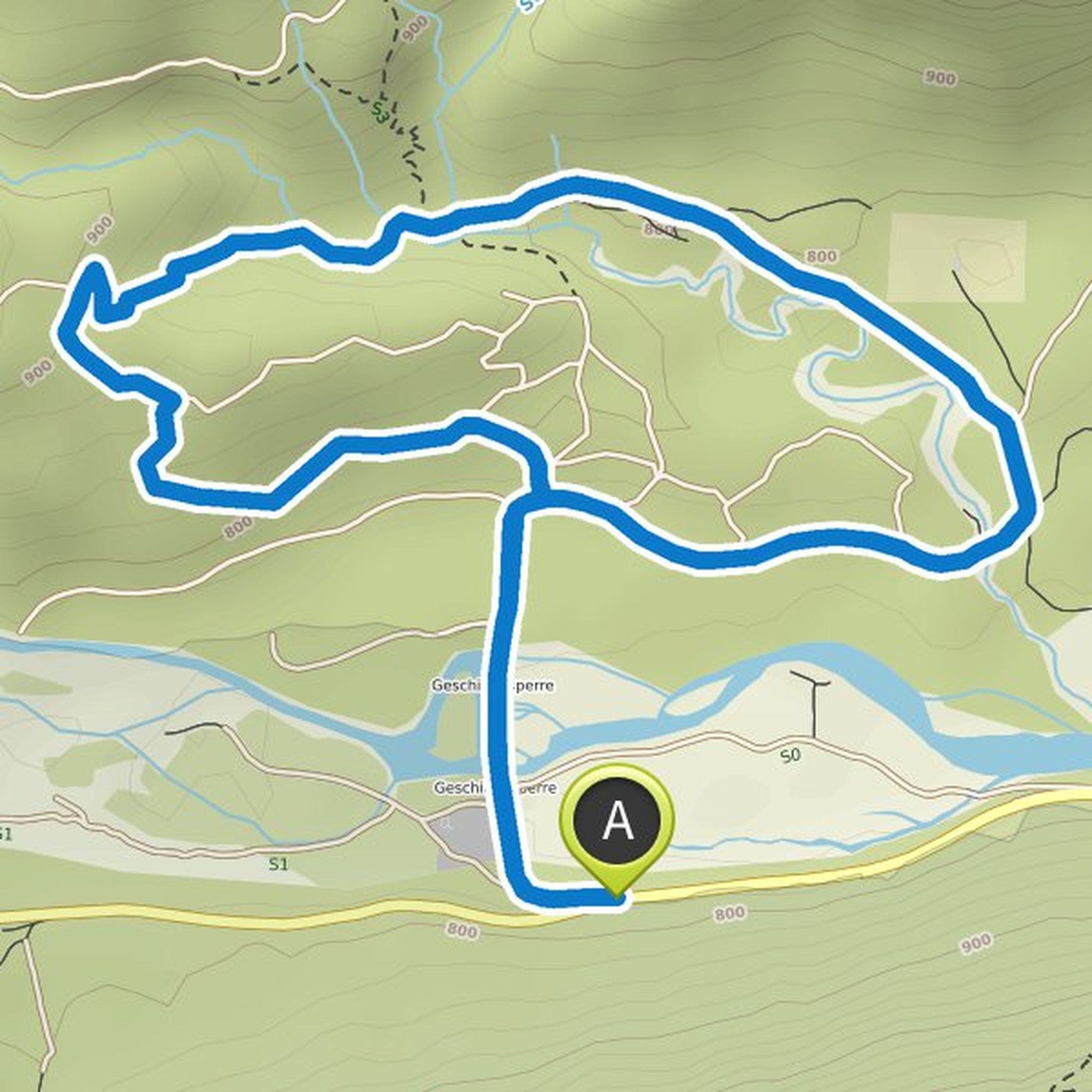
Britta Göckeritz and Hias planned a hike
January 21, 2021
Time
2h59m
Distance
10.9km
Speed
3.7km/h
Ascent
170m
Descent
170m
Map data © OpenStreetMap contributors
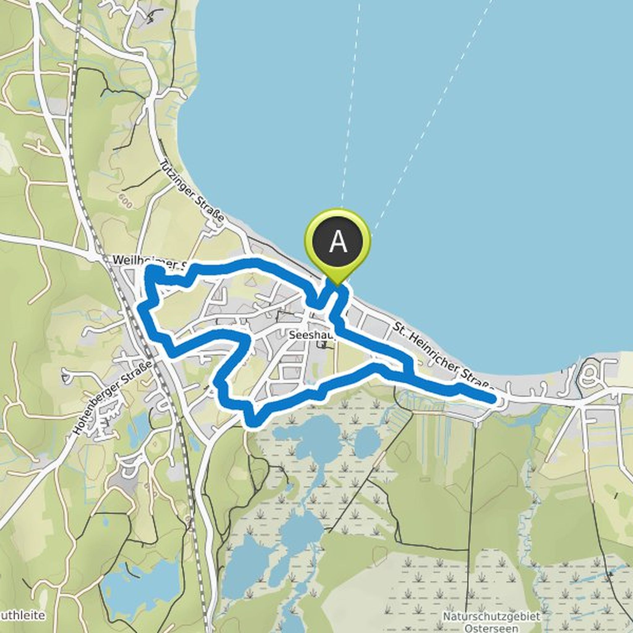
Britta Göckeritz and Hias planned a hike
December 31, 2020
Time
1h52m
Distance
6.24km
Speed
3.3km/h
Ascent
150m
Descent
150m
Map data © OpenStreetMap contributors
Britta Göckeritz and Hias planned a hike
August 30, 2020
Time
1h42m
Distance
6.66km
Speed
3.9km/h
Ascent
20m
Descent
20m
Map data © OpenStreetMap contributors