Timeline
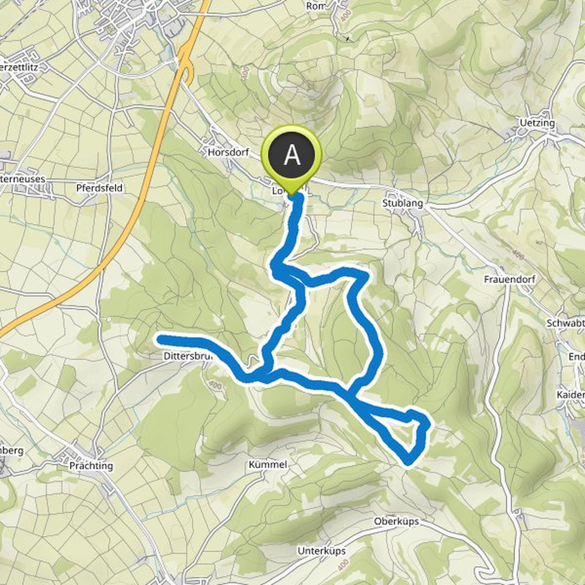
Christof planned a hike
October 3, 2022
Time
2h57m
Distance
10.9km
Speed
3.7km/h
Ascent
160m
Descent
160m
Map data © OpenStreetMap contributors
Christof planned a hike
June 4, 2022
Time
4h40m
Distance
14.4km
Speed
3.1km/h
Ascent
630m
Descent
630m
Map data © OpenStreetMap contributors
Christof planned a hike
May 30, 2022
Time
2h52m
Distance
9.82km
Speed
3.4km/h
Ascent
260m
Descent
260m
Map data © OpenStreetMap contributors
Christof planned a hike
April 16, 2022
Time
2h35m
Distance
9.19km
Speed
3.6km/h
Ascent
190m
Descent
190m
Map data © OpenStreetMap contributors
Christof planned a hike
February 27, 2022
Time
4h12m
Distance
14.5km
Speed
3.4km/h
Ascent
350m
Descent
350m
Map data © OpenStreetMap contributors
Christof planned a hike
October 28, 2021
Time
5h22m
Distance
19.4km
Speed
3.6km/h
Ascent
340m
Descent
340m

Map data © OpenStreetMap contributors
Christof planned a hike
August 9, 2021
Time
3h38m
Distance
12.6km
Speed
3.5km/h
Ascent
320m
Descent
320m

Map data © OpenStreetMap contributors
Christof planned a hike
August 5, 2021
Time
4h18m
Distance
14.8km
Speed
3.4km/h
Ascent
370m
Descent
370m

Map data © OpenStreetMap contributors
Christof planned a hike
June 3, 2021
Time
2h44m
Distance
9.39km
Speed
3.4km/h
Ascent
240m
Descent
240m

Map data © OpenStreetMap contributors