Timeline
Maximilian Rander planned a hike
August 30, 2022
Time
5h57m
Distance
19.6km
Speed
3.3km/h
Ascent
680m
Descent
640m
Map data © OpenStreetMap contributors
Maximilian Rander planned a hike
August 27, 2022
Time
4h42m
Distance
17.2km
Speed
3.6km/h
Ascent
270m
Descent
270m
Map data © OpenStreetMap contributors
Maximilian Rander planned a hike
August 27, 2022
Time
4h42m
Distance
17.2km
Speed
3.6km/h
Ascent
270m
Descent
270m
Map data © OpenStreetMap contributors
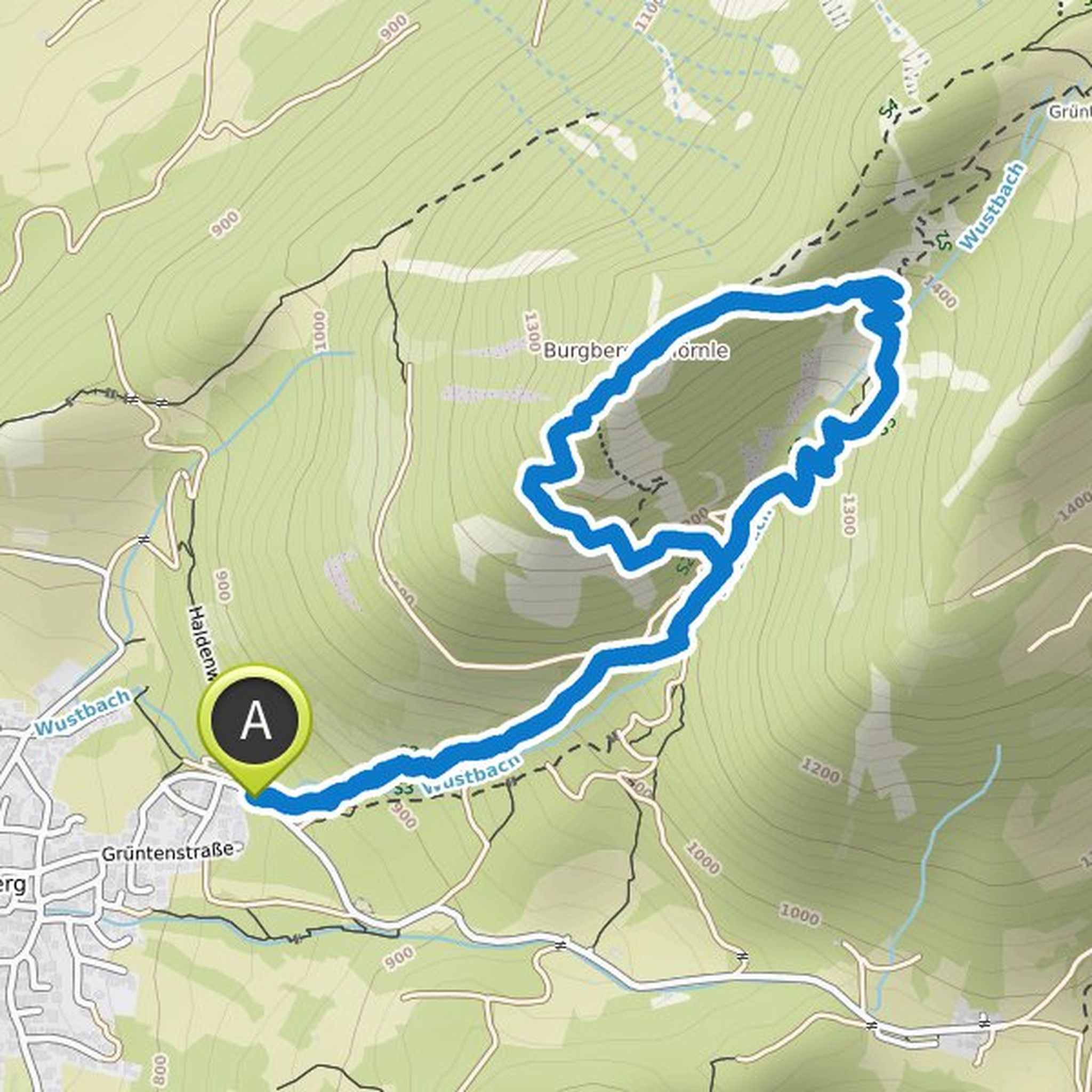
Maximilian Rander planned a hike
August 13, 2022
Time
4h38m
Distance
12.6km
Speed
2.7km/h
Ascent
640m
Descent
640m
Map data © OpenStreetMap contributors
Maximilian Rander planned a mountaineering activity
January 26, 2022
Time
2h16m
Distance
5.87km
Speed
2.6km/h
Ascent
590m
Descent
590m
Map data © OpenStreetMap contributors
Maximilian Rander planned a hike
August 8, 2021
Time
4h01m
Distance
9.73km
Speed
2.4km/h
Ascent
610m
Descent
610m

Map data © OpenStreetMap contributors
Maximilian Rander planned a hike
July 6, 2021
Time
7h59m
Distance
27.8km
Speed
3.5km/h
Ascent
660m
Descent
660m

Map data © OpenStreetMap contributors
Maximilian Rander planned a hike
July 5, 2021
Time
4h51m
Distance
13.7km
Speed
2.8km/h
Ascent
670m
Descent
670m

Map data © OpenStreetMap contributors