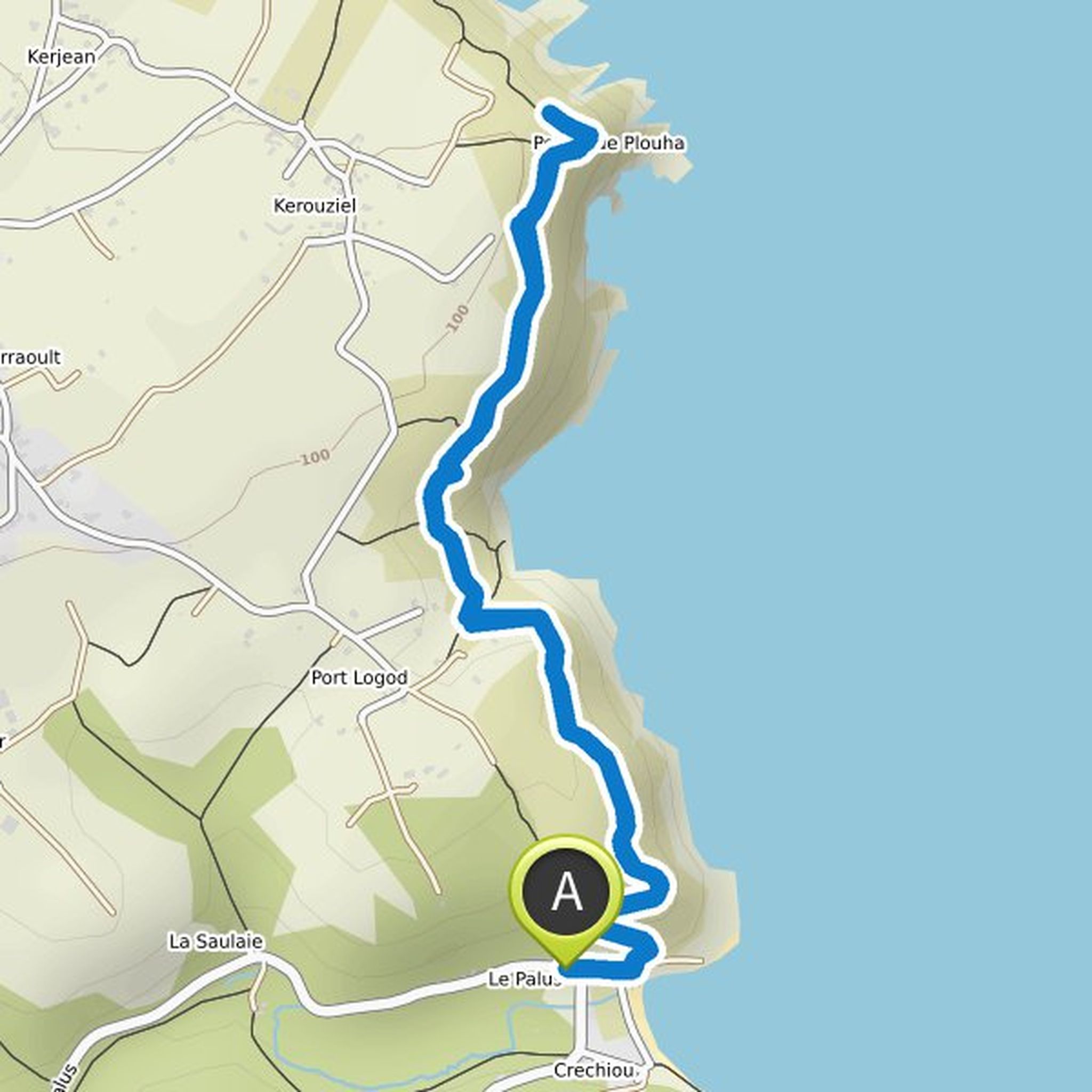
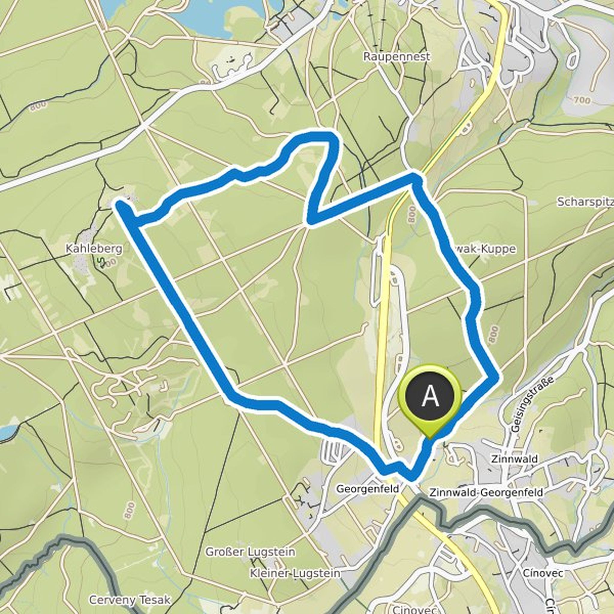
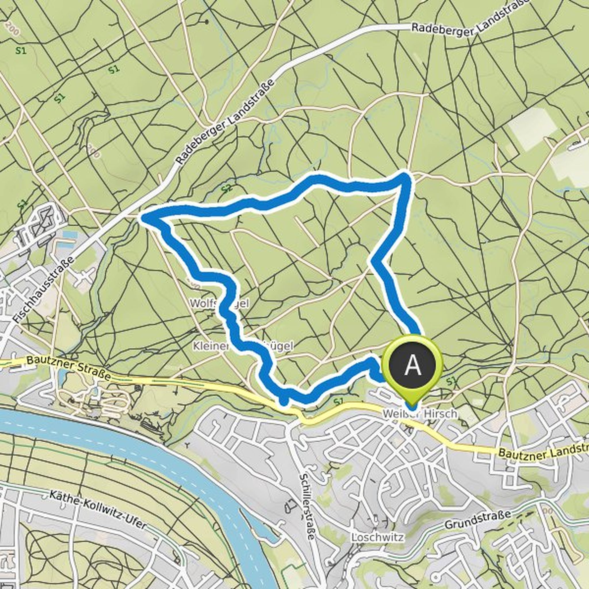
Timeline
Cornball planned a hike
February 18, 2022
Time
Distance
Speed
Ascent
Descent
Cornball planned a hike
February 18, 2022
Time
Distance
Speed
Ascent
Descent
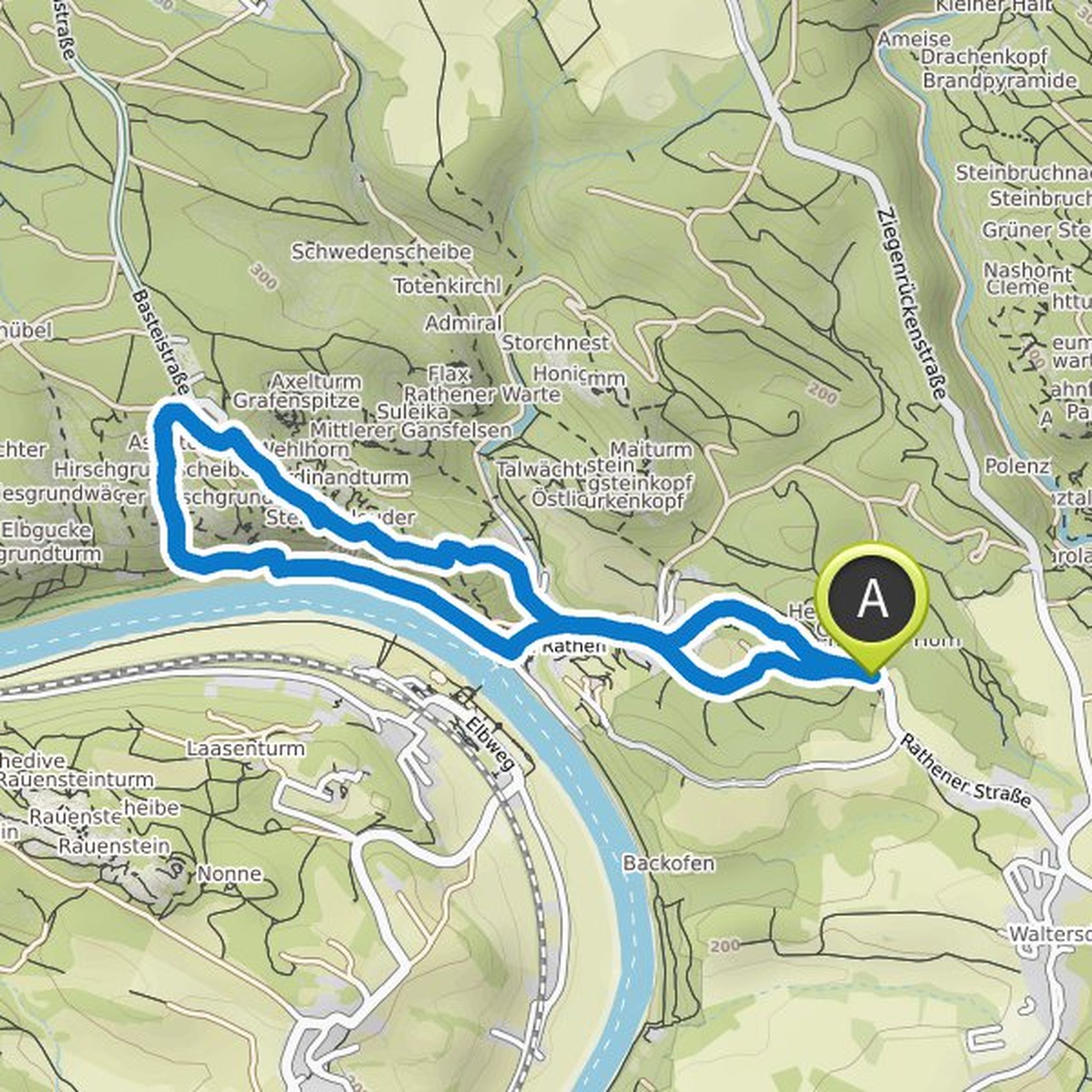
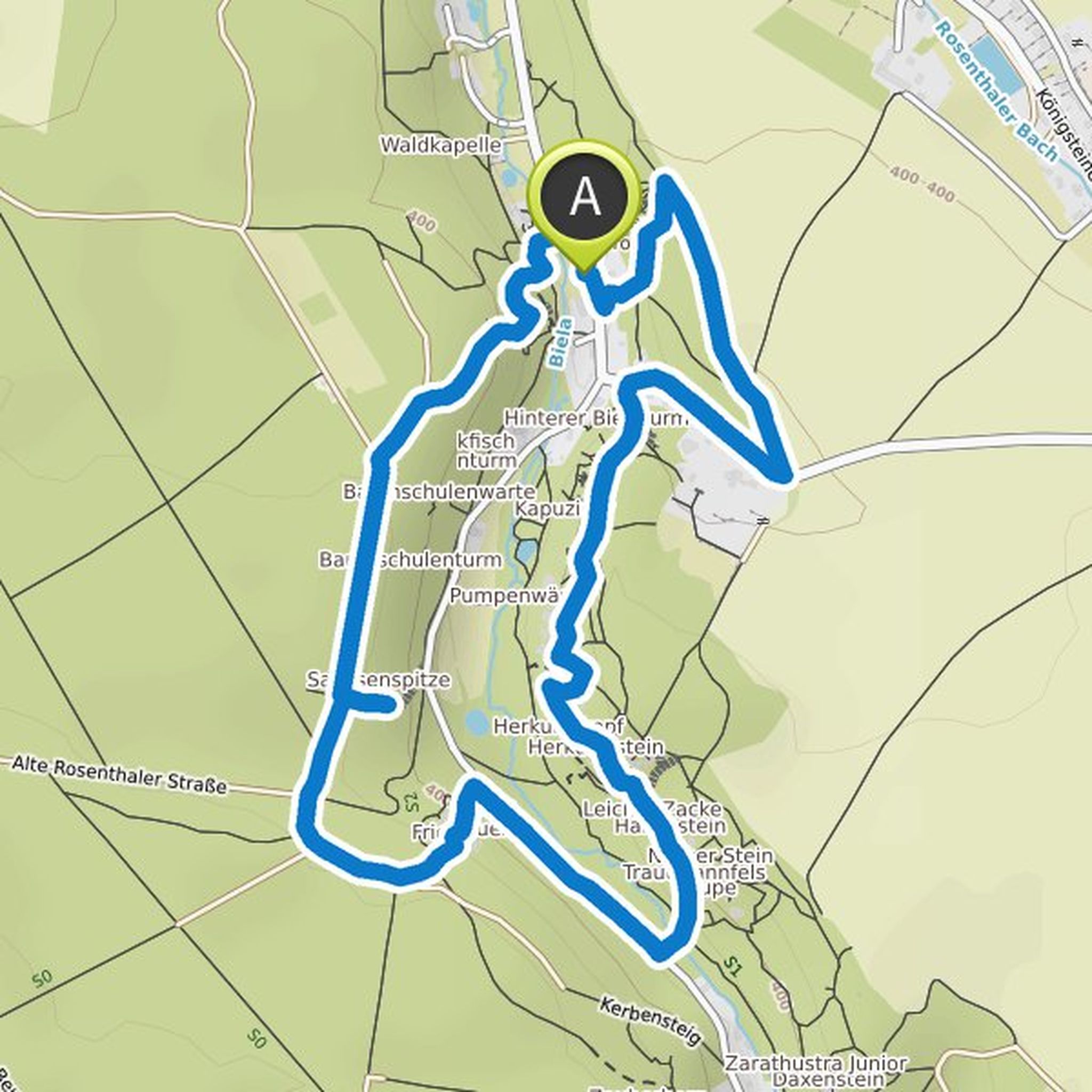
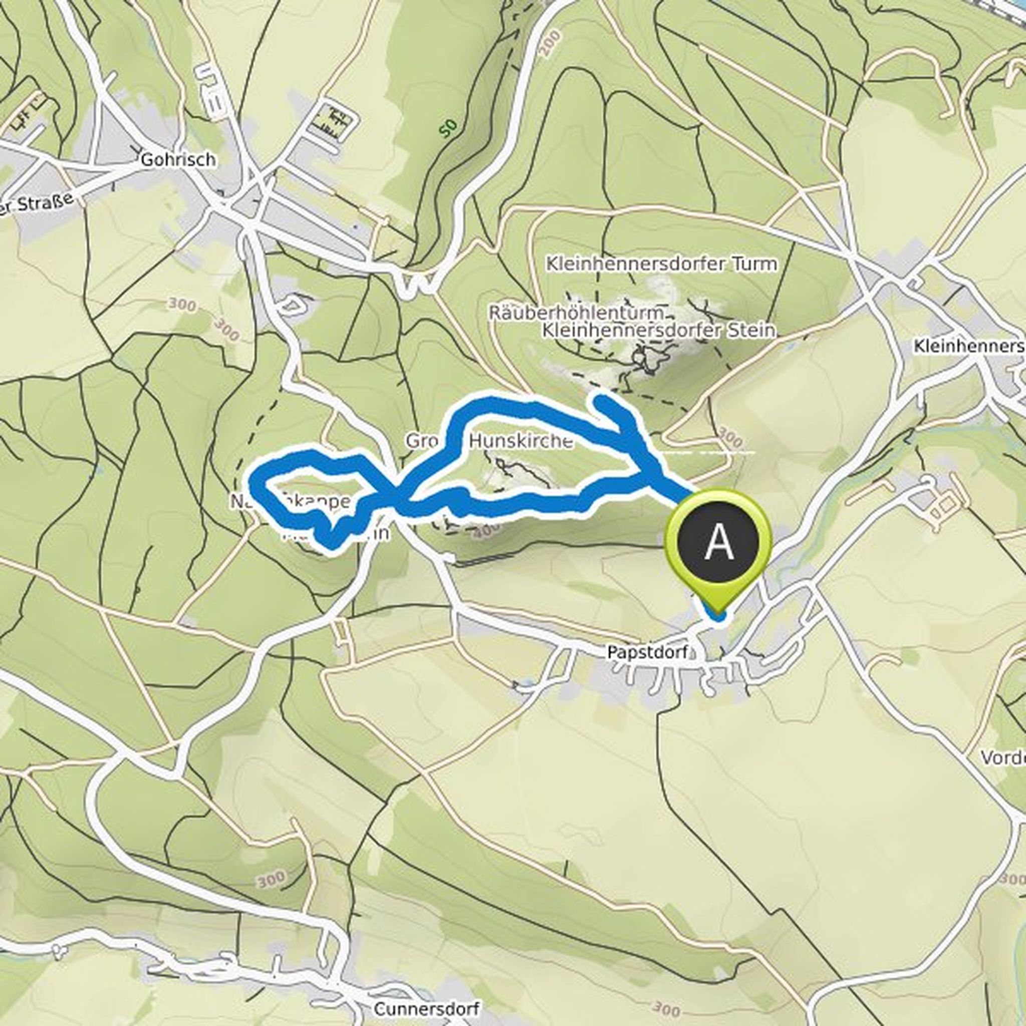
Cornball planned a hike
January 15, 2022
Time
Distance
Speed
Ascent
Descent
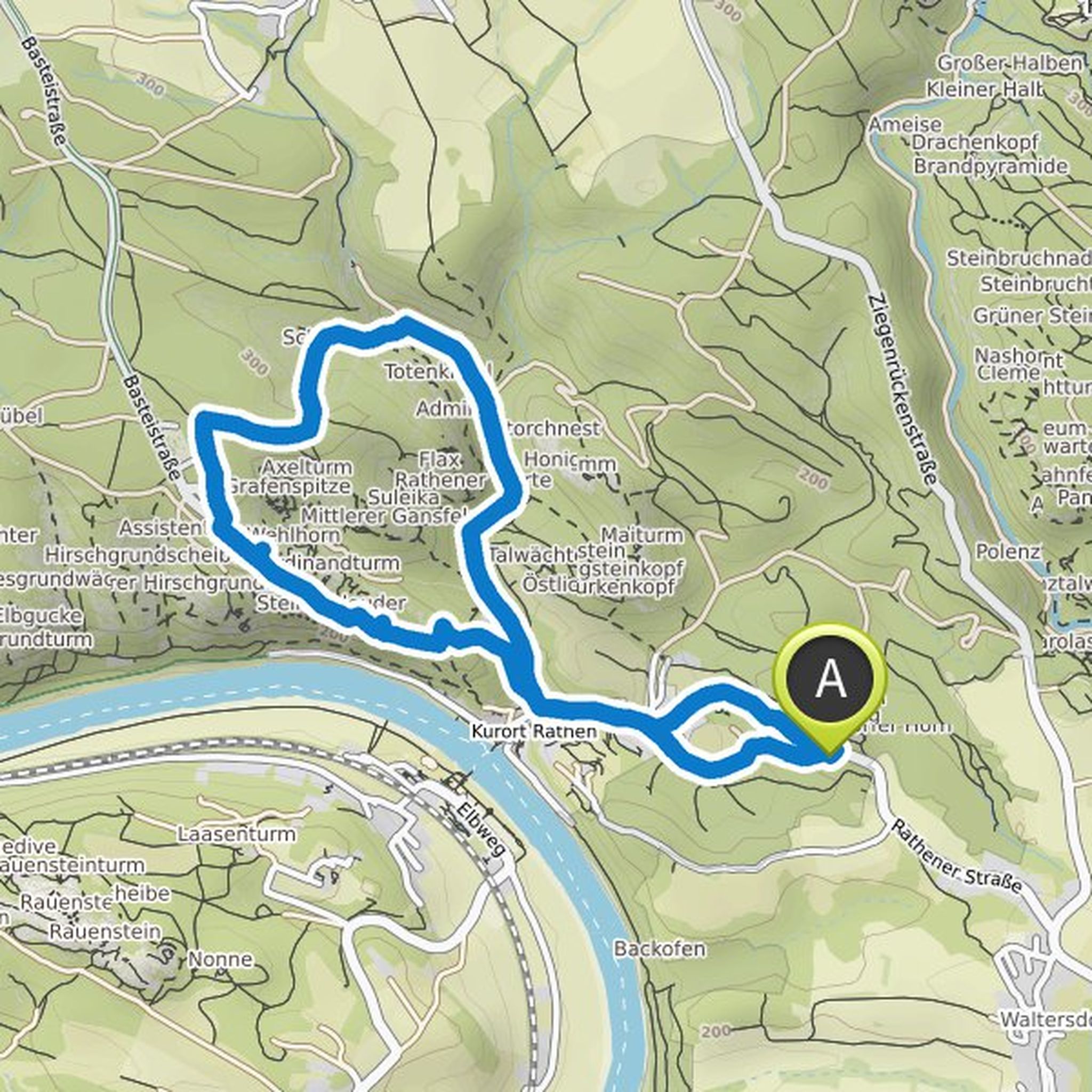
Cornball planned a hike
January 15, 2022
Time
Distance
Speed
Ascent
Descent
Cornball planned a hike
January 15, 2022
Time
Distance
Speed
Ascent
Descent
Cornball planned a hike
January 15, 2022
Time
Distance
Speed
Ascent
Descent
Cornball planned a hike
January 15, 2022
Time
Distance
Speed
Ascent
Descent
Cornball planned a hike
January 15, 2022
Time
Distance
Speed
Ascent
Descent
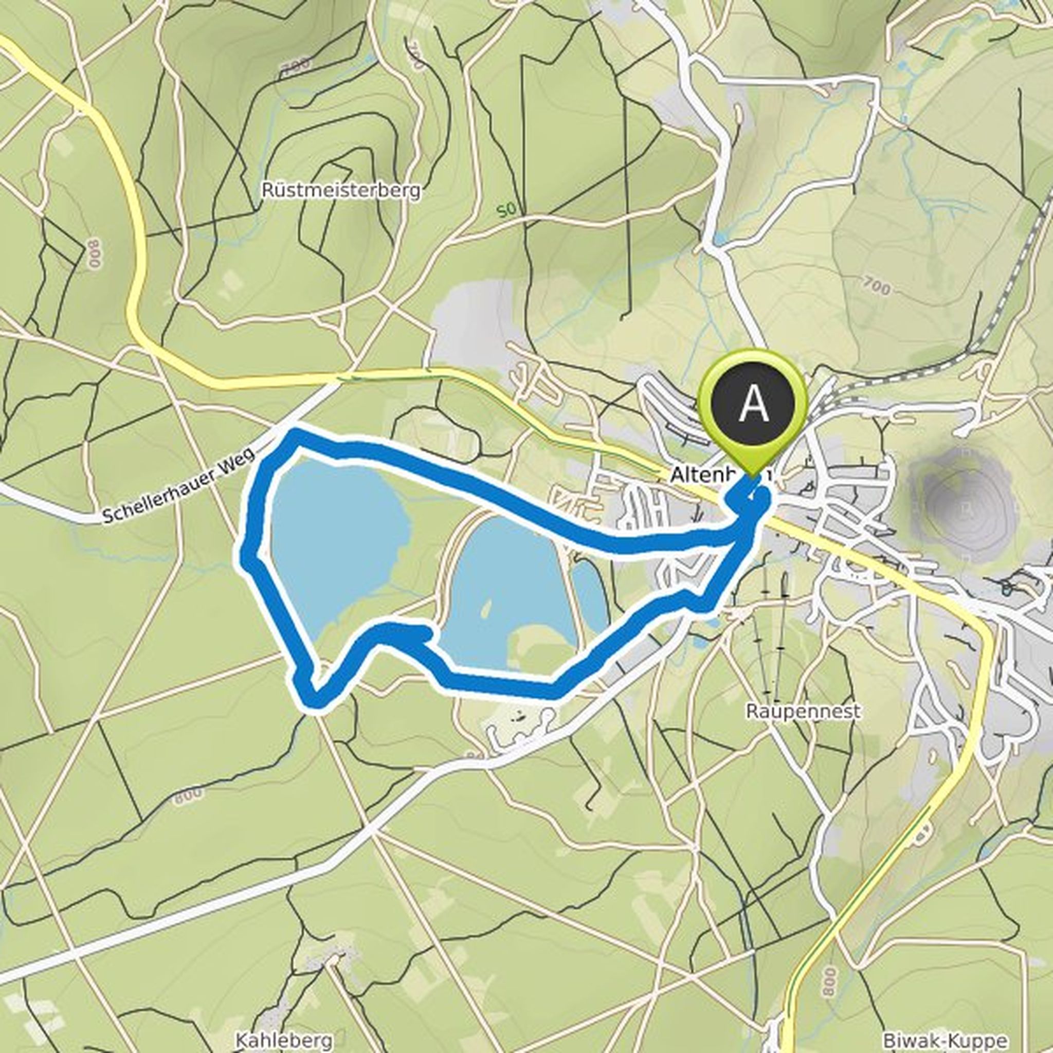
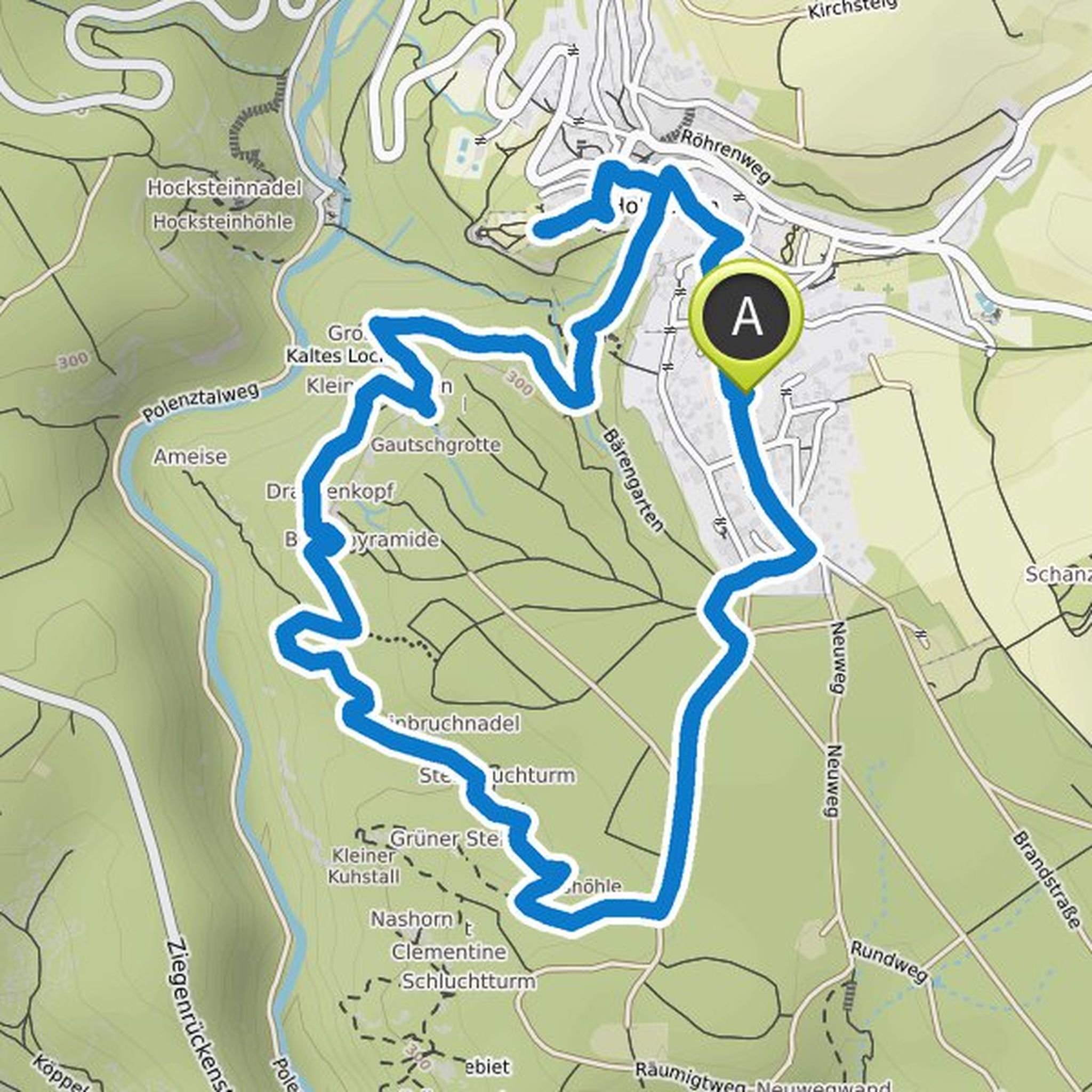
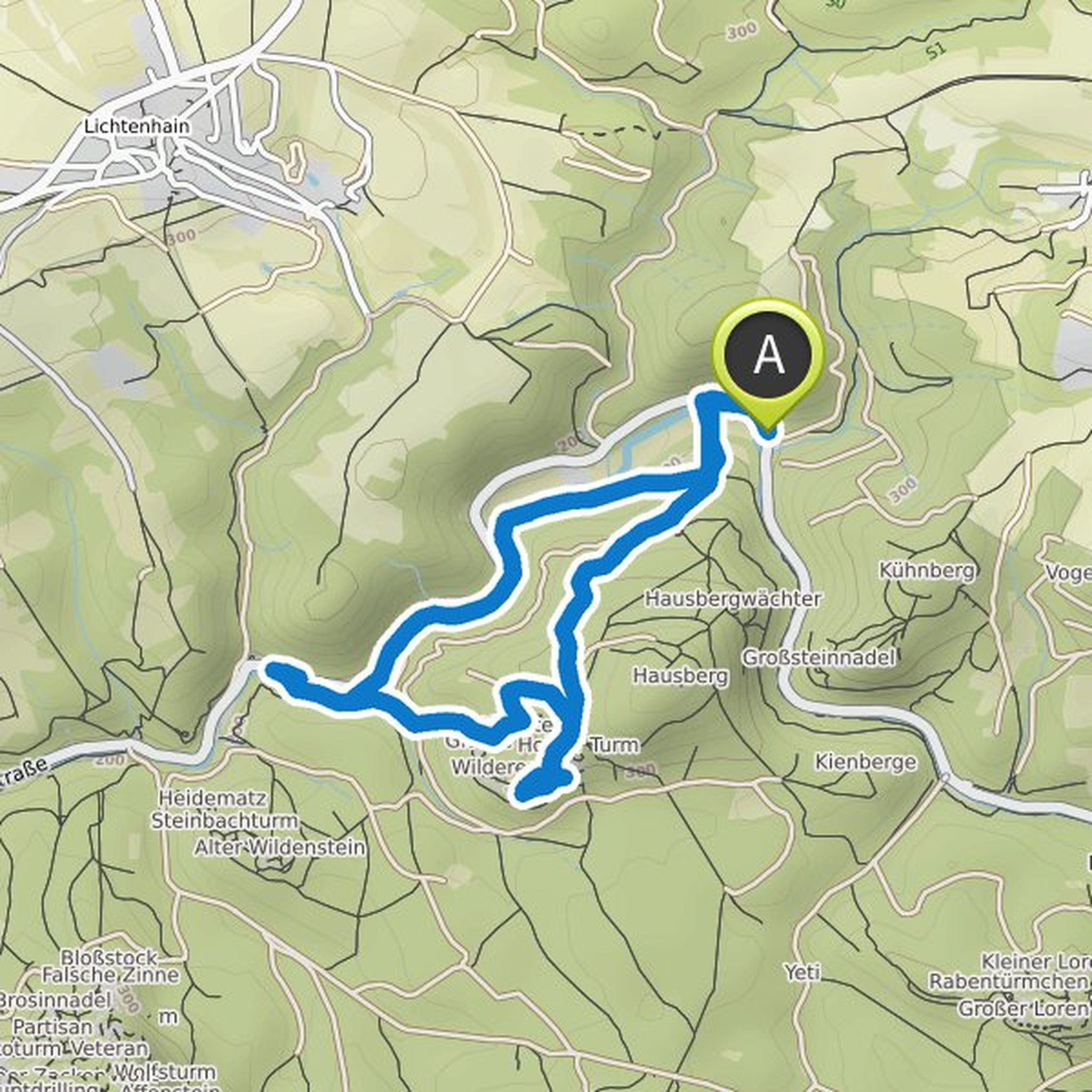
Cornball planned a hike
January 13, 2022
Time
Distance
Speed
Ascent
Descent
Cornball planned a hike
January 13, 2022
Time
Distance
Speed
Ascent
Descent
Cornball planned a hike
January 13, 2022
Time
Distance
Speed
Ascent
Descent
Cornball planned a hike
January 13, 2022
Time
Distance
Speed
Ascent
Descent
Cornball planned a hike
January 13, 2022
Time
Distance
Speed
Ascent
Descent
Cornball planned a hike
January 13, 2022
Time
Distance
Speed
Ascent
Descent
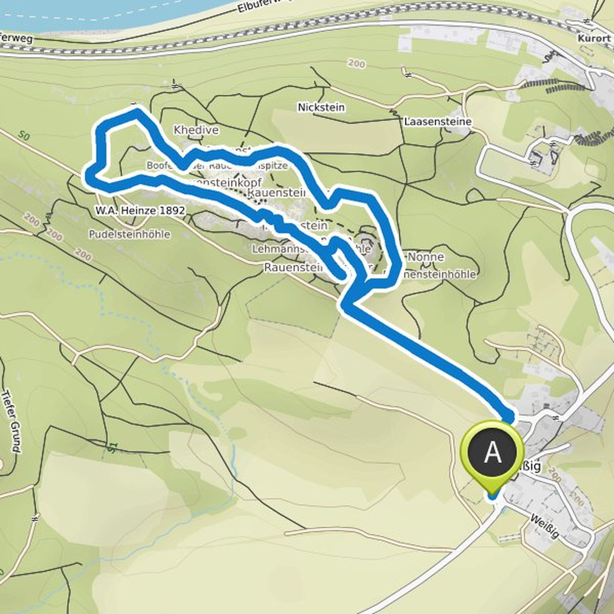
Cornball planned a hike
August 4, 2021
Time
Distance
Speed
Ascent
Descent