Timeline
The Hedge and DavidEwens planned a road ride
May 25, 2026
Time
Distance
Speed
Ascent
Descent
The Hedge and DavidEwens planned a gravel ride
May 25, 2026
Time
Distance
Speed
Ascent
Descent
The Hedge and DavidEwens planned a road ride
June 21, 2025
Time
Distance
Speed
Ascent
Descent
The Hedge and others planned a road ride
April 23, 2025
Time
Distance
Speed
Ascent
Descent
Shaun and others planned a road ride
January 4, 2024
Time
Distance
Speed
Ascent
Descent
The Hedge and others planned a road ride
June 14, 2023
Time
Distance
Speed
Ascent
Descent
The Hedge and DavidEwens planned a road ride
February 8, 2021
Time
Distance
Speed
Ascent
Descent

Ronan and others planned a bike ride
September 3, 2020
Time
Distance
Speed
Ascent
Descent
Mark Goss and others planned a road ride
September 2, 2020
Time
Distance
Speed
Ascent
Descent

The Hedge and others planned a road ride
August 11, 2020
Time
Distance
Speed
Ascent
Descent

April 11, 2022
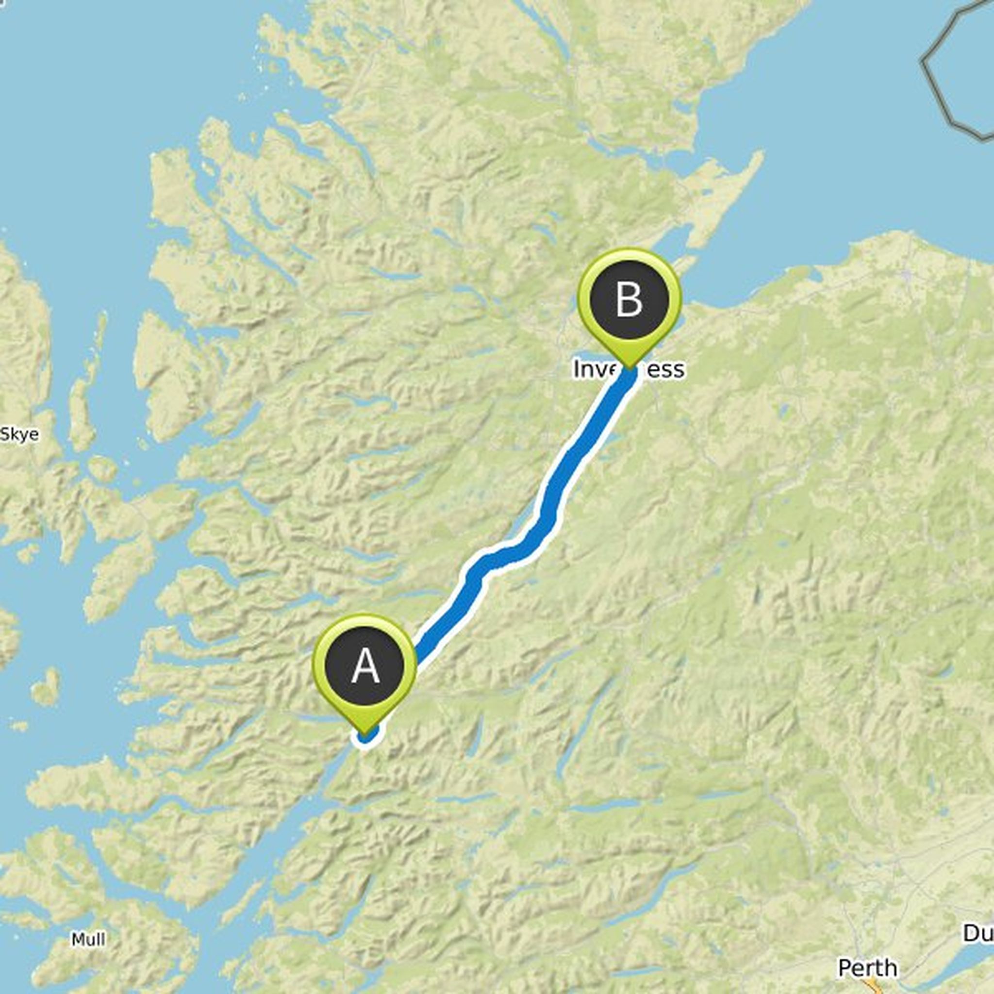
Leave Inverness early to avoid traffic / head out around Beauly Firth to avoid busy A9 across Kessock Bridge. Beauly >> Muir of Ord >> Dingwall >> Evanton >> Bonar Bridge >> Inveran >> Lairg >>Crask Inn >> Inchkinloch >> Tongue.
Caution - from Lairg the A836 is single carriage, exposed location with many