Timeline
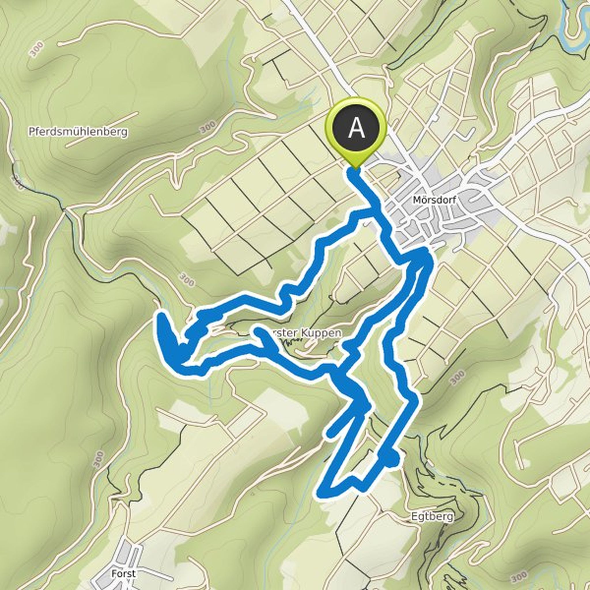
Johannes Mauritz planned a hike
July 31, 2021
Time
Distance
Speed
Ascent
Descent

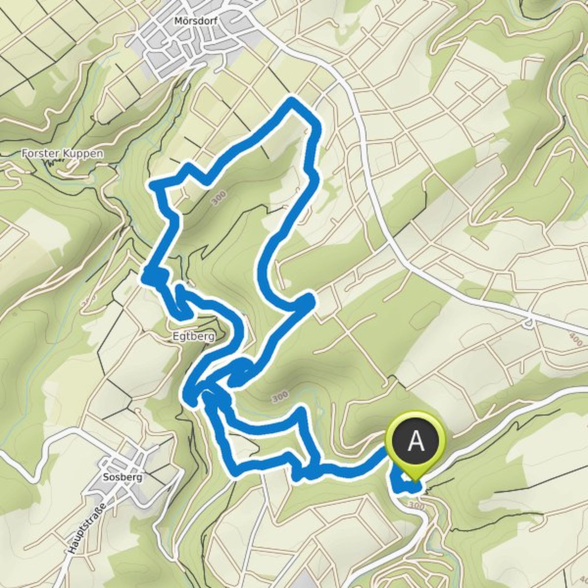
Johannes Mauritz planned a hike
July 31, 2021
Time
Distance
Speed
Ascent
Descent
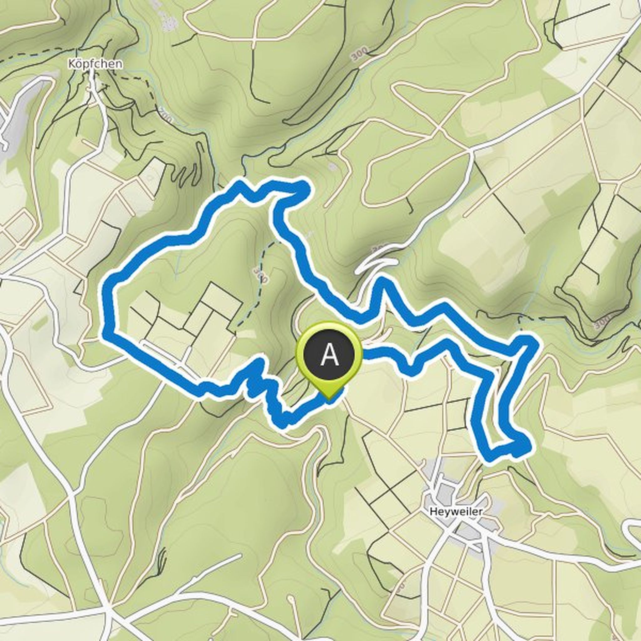
Johannes Mauritz planned a hike
July 31, 2021
Time
Distance
Speed
Ascent
Descent
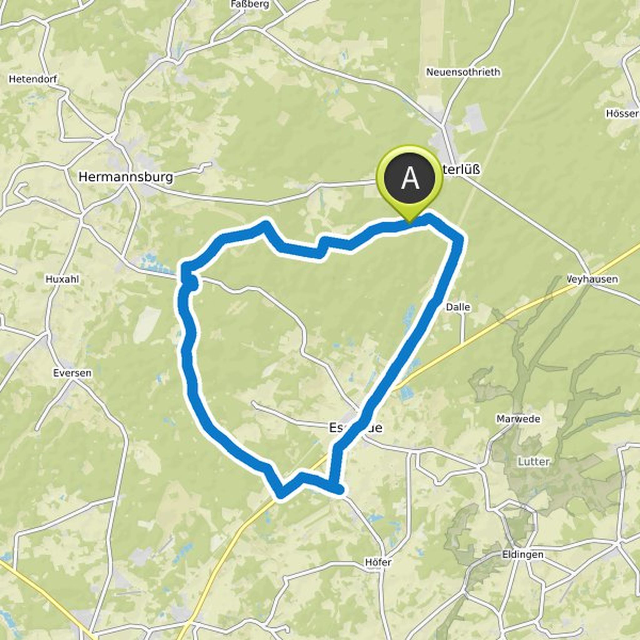
Johannes Mauritz planned a hike
July 20, 2021
Time
Distance
Speed
Ascent
Descent
Johannes Mauritz planned a hike
July 19, 2021
Time
Distance
Speed
Ascent
Descent

Johannes Mauritz planned a hike
July 19, 2021
Time
Distance
Speed
Ascent
Descent

Johannes Mauritz planned a hike
July 19, 2021
Time
Distance
Speed
Ascent
Descent

Johannes Mauritz planned a hike
July 19, 2021
Time
Distance
Speed
Ascent
Descent

Nico and Johannes Mauritz planned a mountain bike ride
April 12, 2020
Time
Distance
Speed
Ascent
Descent

Nico and Johannes Mauritz planned a mountain bike ride
April 5, 2020
Time
Distance
Speed
Ascent
Descent

Nico and Johannes Mauritz planned a bike ride
August 25, 2019
Time
Distance
Speed
Ascent
Descent

Nico and Johannes Mauritz planned a mountain bike ride
August 24, 2019
Time
Distance
Speed
Ascent
Descent

Nico and Johannes Mauritz planned a mountain bike ride
August 11, 2019
Time
Distance
Speed
Ascent
Descent
Nico and Johannes Mauritz planned a mountain bike ride
June 10, 2019
Time
Distance
Speed
Ascent
Descent

Johannes Mauritz and Nico planned a bike ride
June 6, 2019
Time
Distance
Speed
Ascent
Descent
