Timeline
Klaus Schmidt planned a hike
August 16, 2022
Time
Distance
Speed
Ascent
Descent
Klaus Schmidt planned a hike
August 16, 2022
Time
Distance
Speed
Ascent
Descent
Klaus Schmidt planned a hike
August 16, 2022
Time
Distance
Speed
Ascent
Descent
Klaus Schmidt planned a hike
February 12, 2022
Time
Distance
Speed
Ascent
Descent
Klaus Schmidt planned a hike
February 12, 2022
Time
Distance
Speed
Ascent
Descent
Klaus Schmidt planned a hike
February 12, 2022
Time
Distance
Speed
Ascent
Descent
Klaus Schmidt planned a hike
February 12, 2022
Time
Distance
Speed
Ascent
Descent
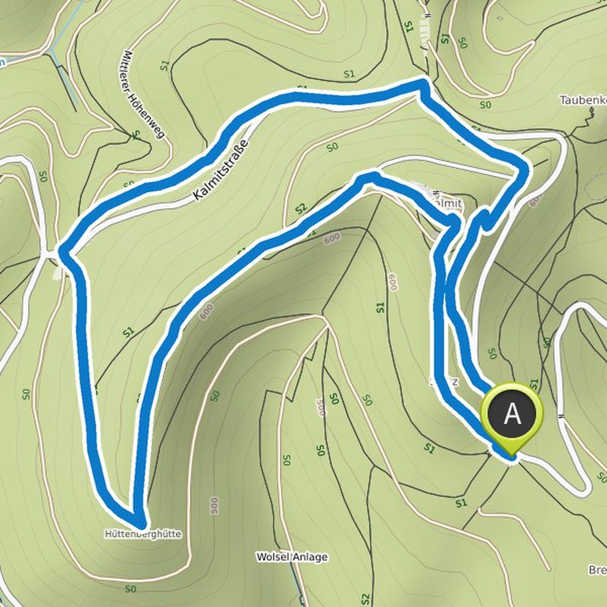
Klaus Schmidt planned a hike
February 12, 2022
Time
Distance
Speed
Ascent
Descent
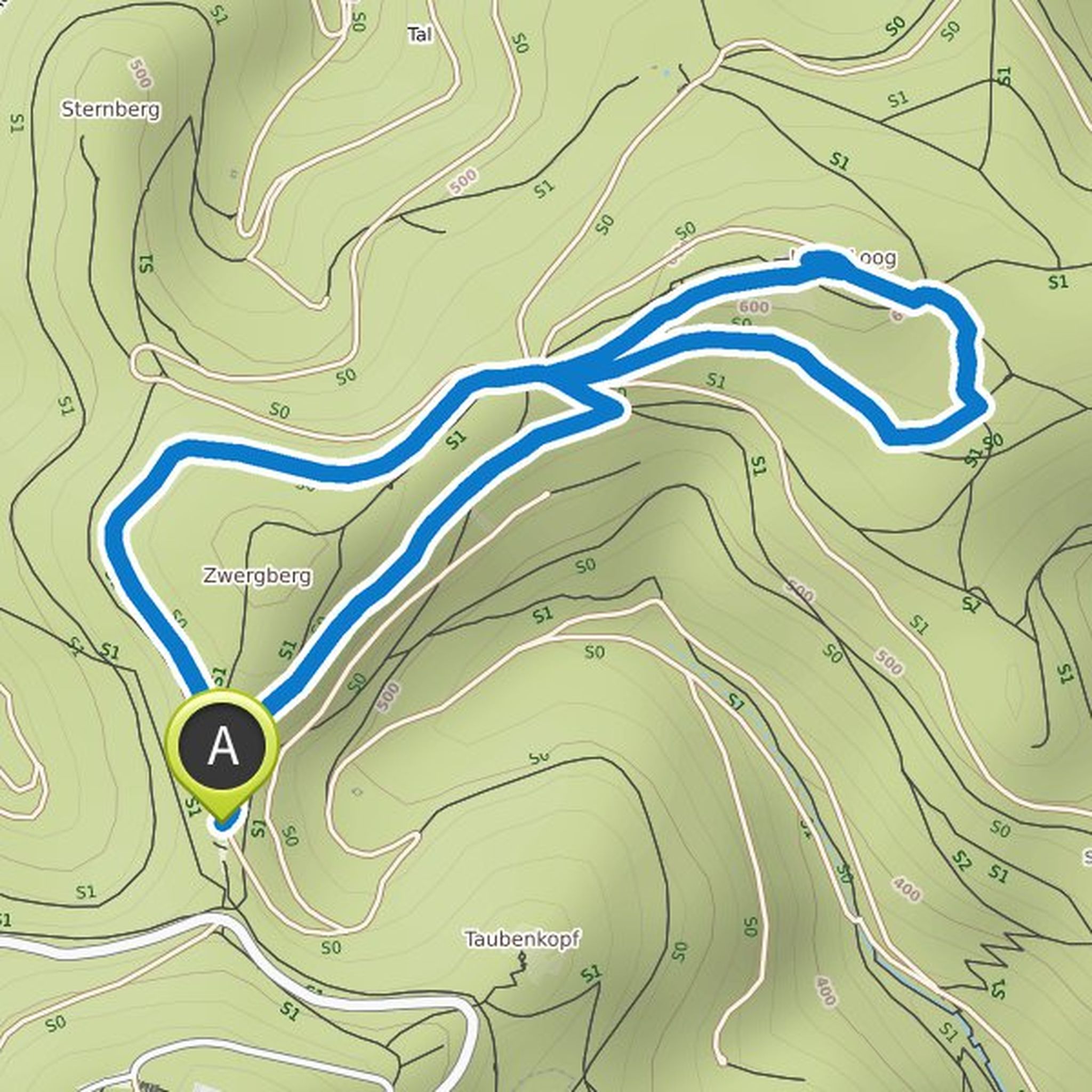
Klaus Schmidt planned a hike
October 1, 2021
Time
Distance
Speed
Ascent
Descent
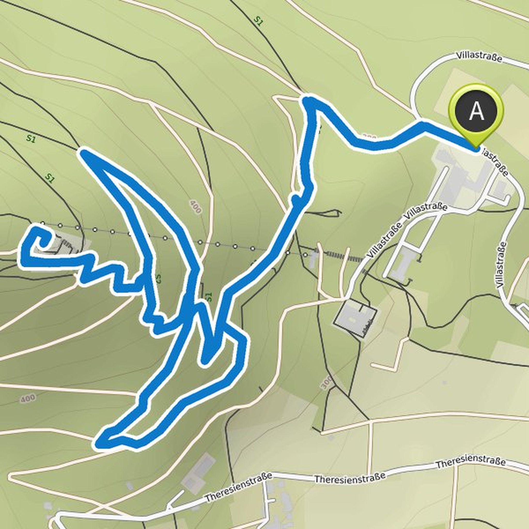
Klaus Schmidt planned a hike
August 31, 2021
Time
Distance
Speed
Ascent
Descent
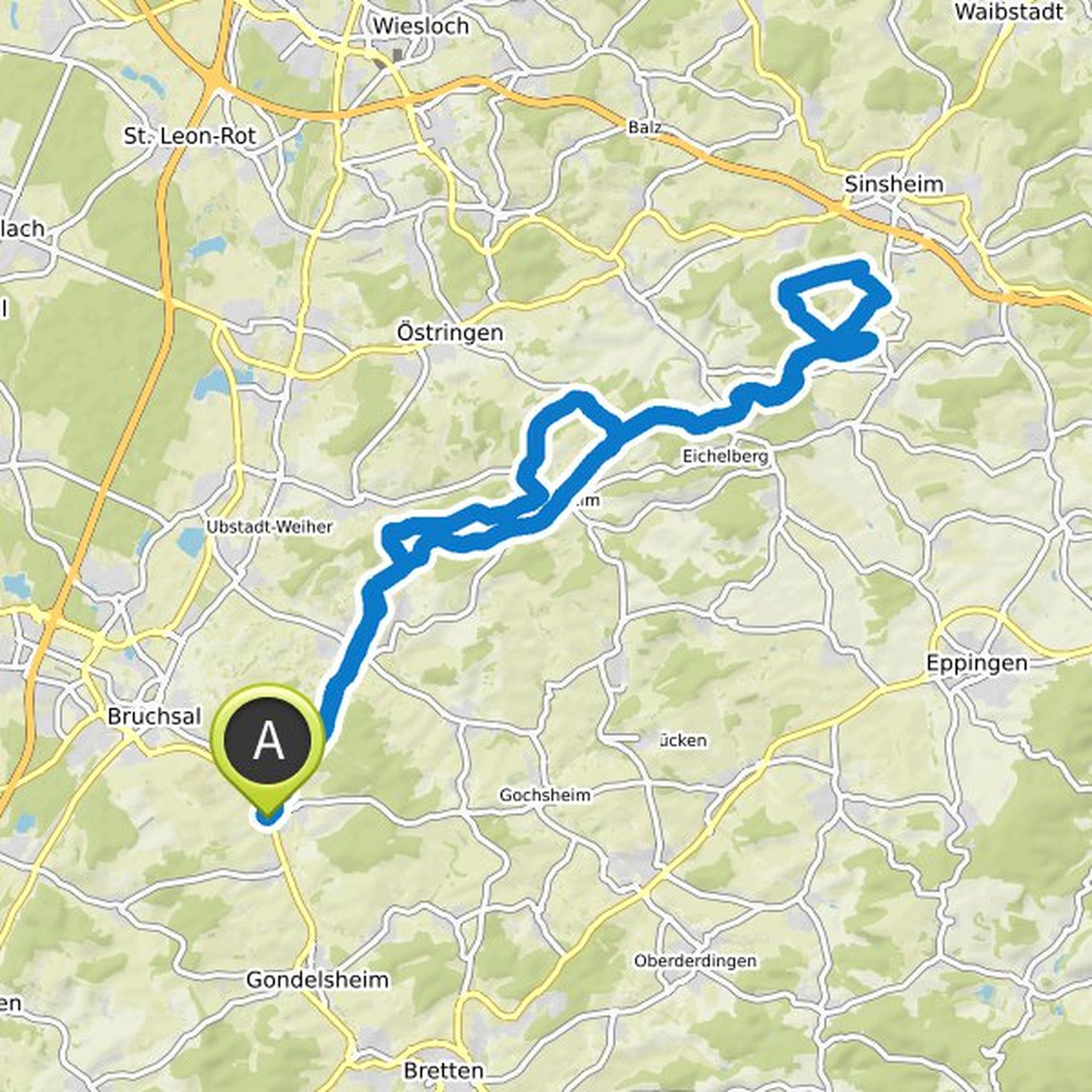
Klaus Schmidt planned a mountain bike ride
June 3, 2021
Time
Distance
Speed
Ascent
Descent