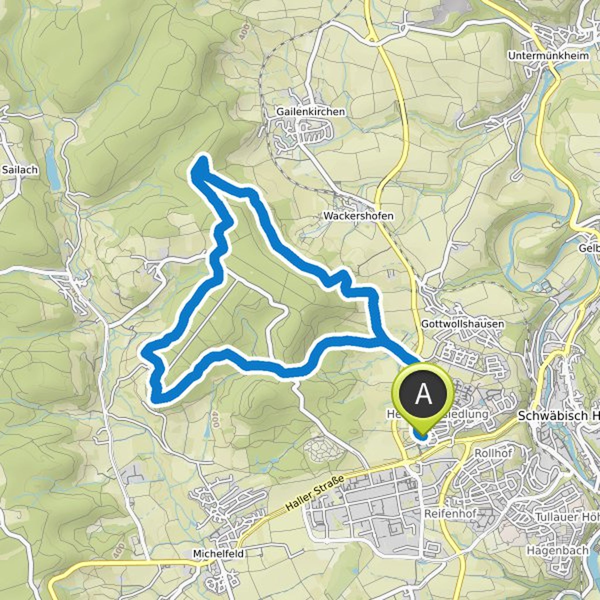
Timeline
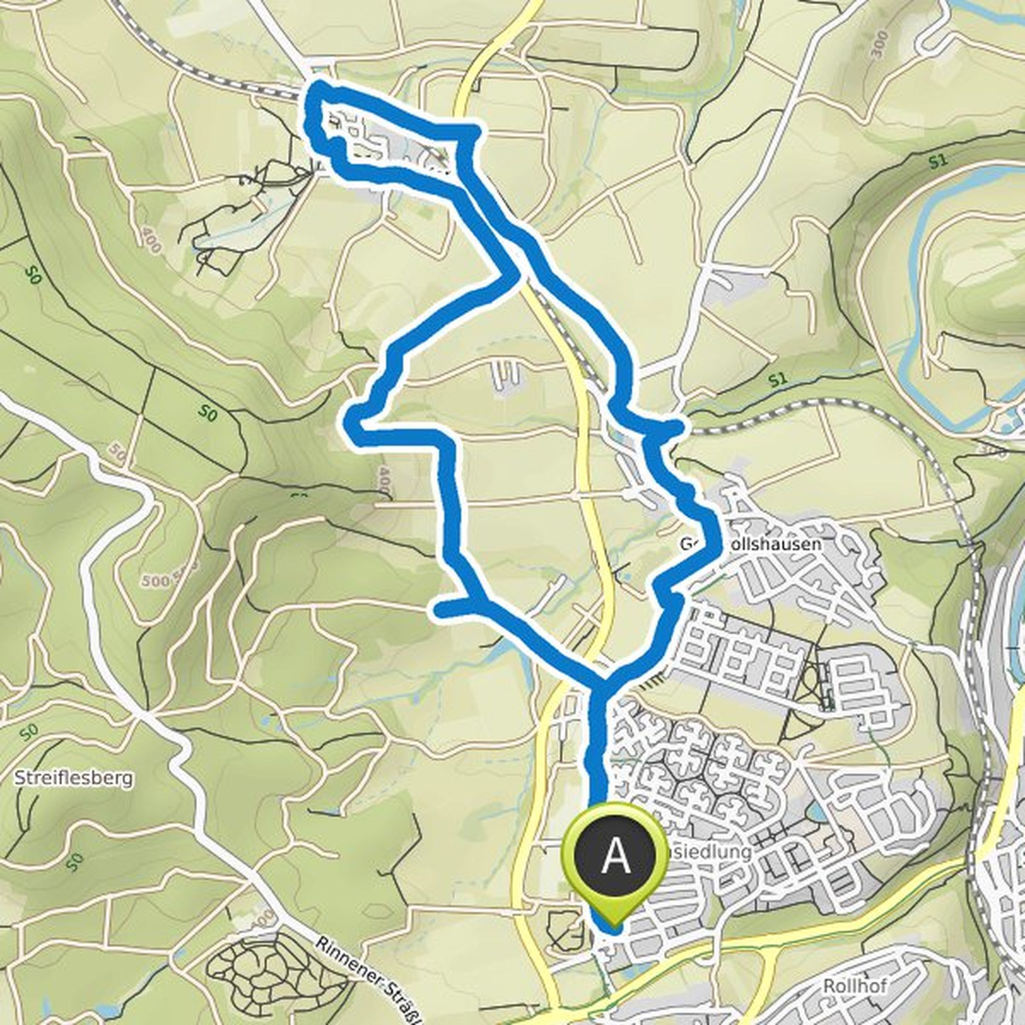
Maxtotheguenther planned a hike
September 4, 2022
Time
Distance
Speed
Ascent
Descent
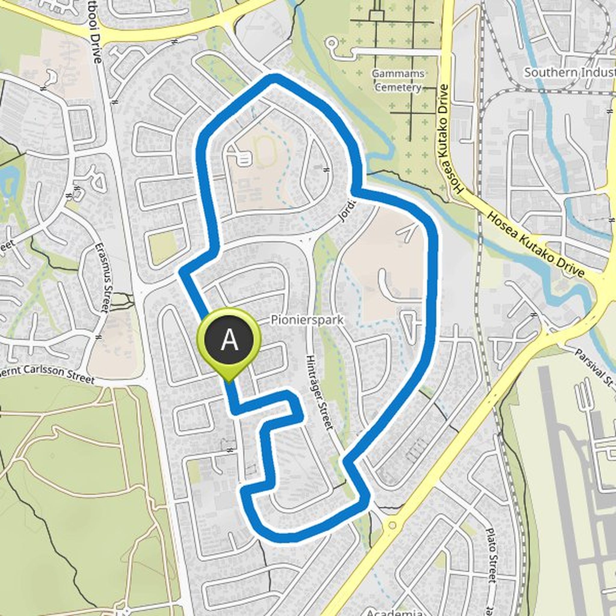
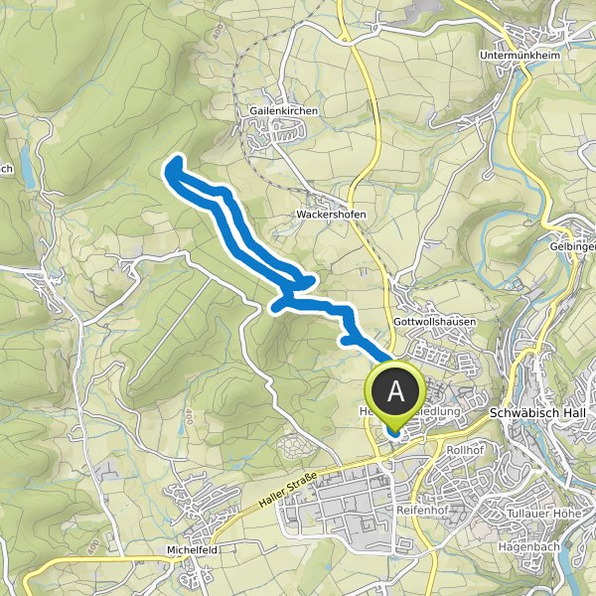
Maxtotheguenther planned a run
March 20, 2022
Time
Distance
Pace
Ascent
Descent
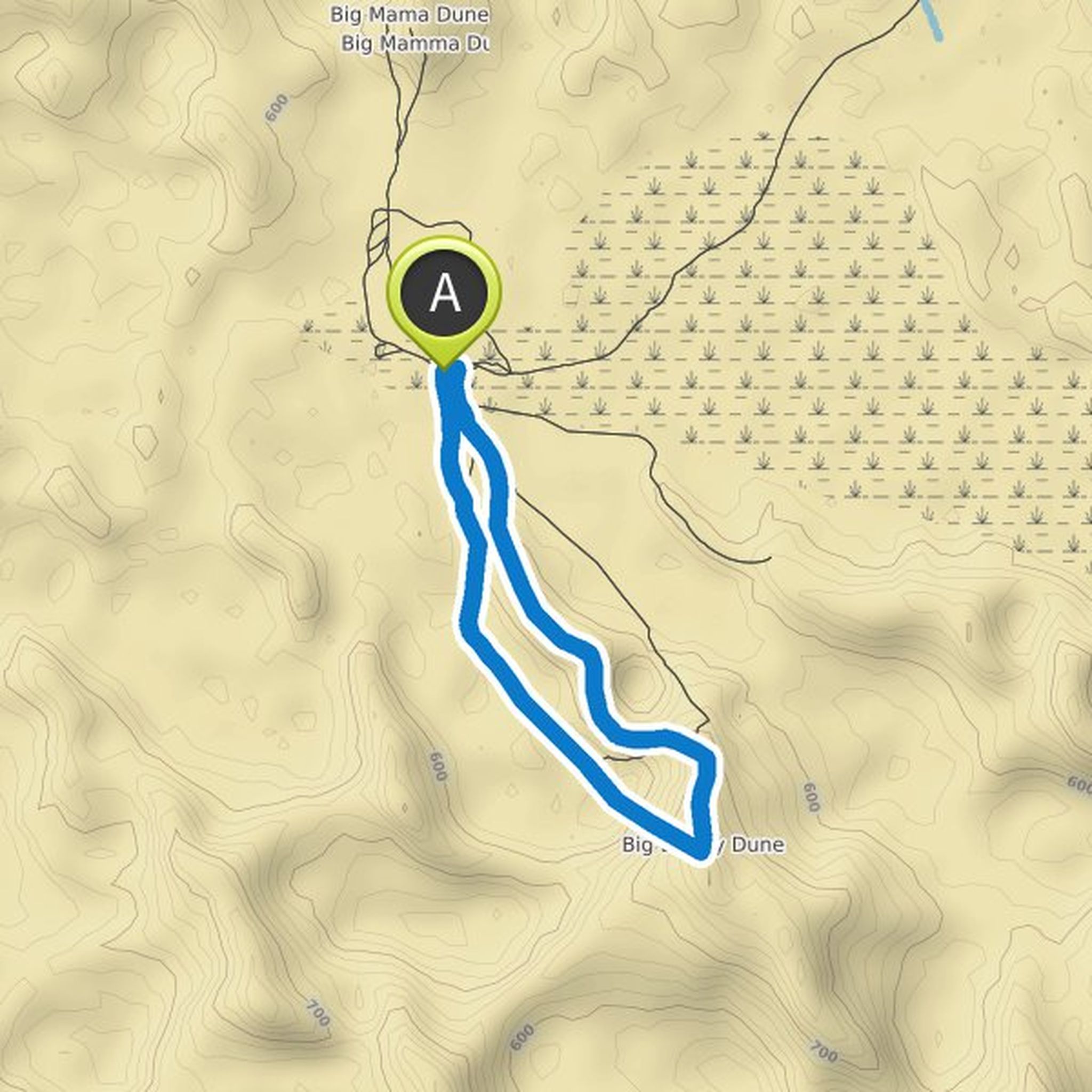
Maxtotheguenther planned a hike
February 16, 2022
Time
Distance
Speed
Ascent
Descent
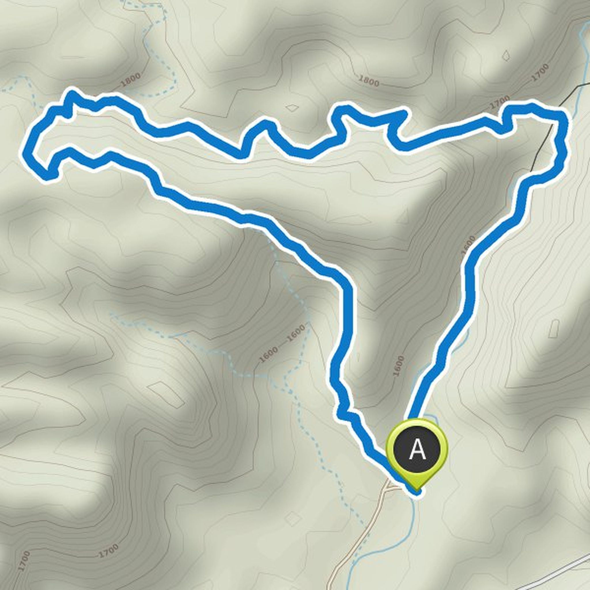
Maxtotheguenther planned a hike
February 16, 2022
Time
Distance
Speed
Ascent
Descent
Maxtotheguenther planned a hike
February 16, 2022
Time
Distance
Speed
Ascent
Descent
Maxtotheguenther planned a hike
January 23, 2022
Time
Distance
Speed
Ascent
Descent
Maxtotheguenther planned a hike
January 23, 2022
Time
Distance
Speed
Ascent
Descent
Maxtotheguenther planned a hike
January 23, 2022
Time
Distance
Speed
Ascent
Descent
Maxtotheguenther planned a hike
January 23, 2022
Time
Distance
Speed
Ascent
Descent
Maxtotheguenther planned a hike
January 23, 2022
Time
Distance
Speed
Ascent
Descent
Maxtotheguenther planned a hike
January 23, 2022
Time
Distance
Speed
Ascent
Descent
Maxtotheguenther planned a hike
January 23, 2022
Time
Distance
Speed
Ascent
Descent
Maxtotheguenther planned a hike
January 13, 2022
Time
Distance
Speed
Ascent
Descent
Maxtotheguenther planned a hike
January 13, 2022
Time
Distance
Speed
Ascent
Descent
Maxtotheguenther planned a hike
January 13, 2022
Time
Distance
Speed
Ascent
Descent