Timeline
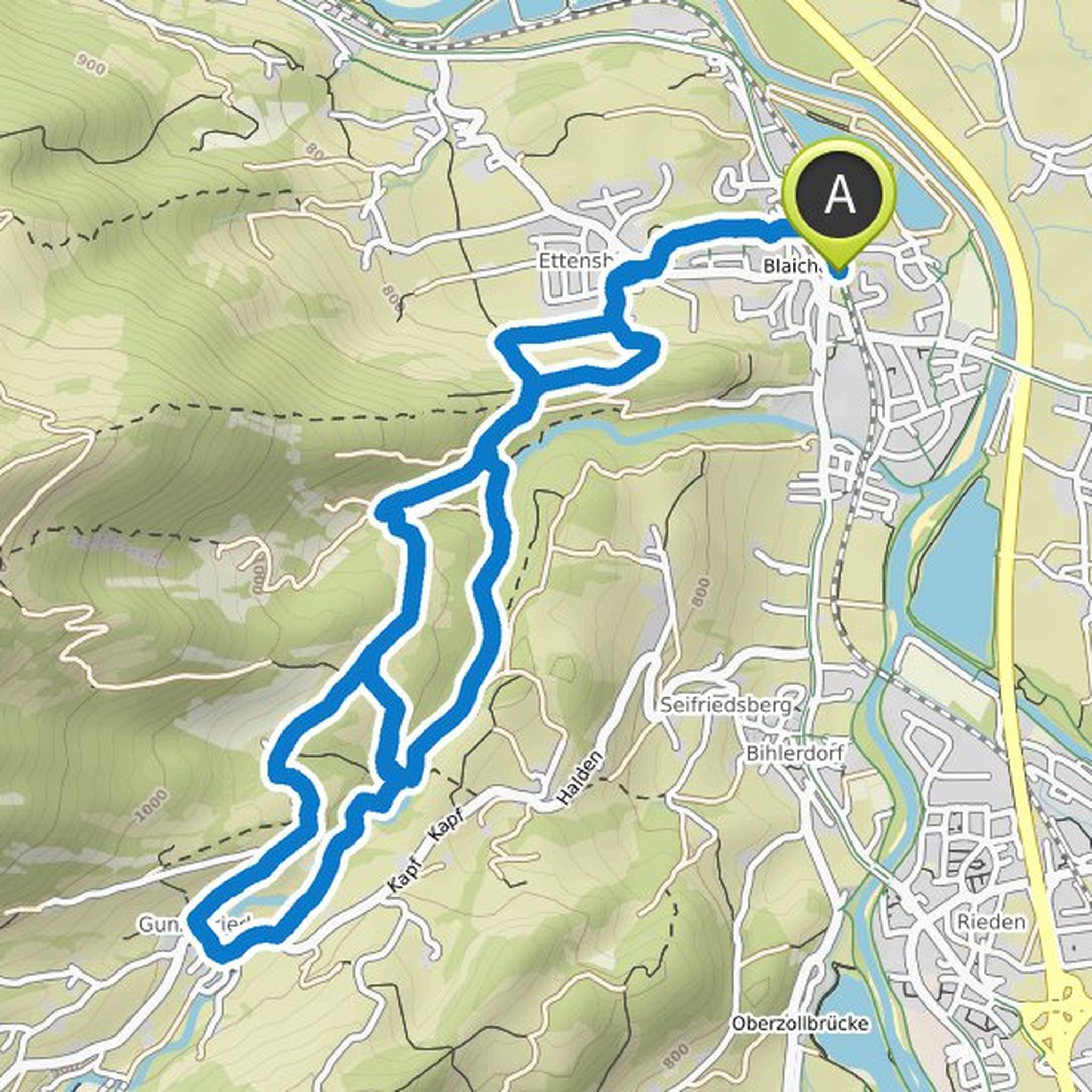
friluftsliz planned a hike
April 17, 2025
Time
Distance
Speed
Ascent
Descent
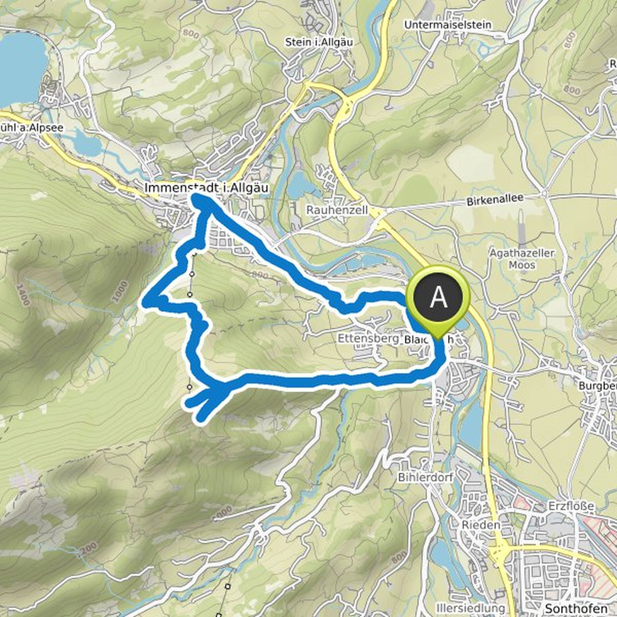
friluftsliz planned a hike
November 2, 2024
Time
Distance
Speed
Ascent
Descent
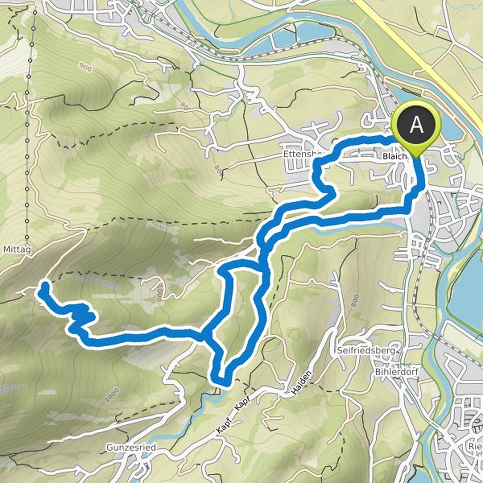
friluftsliz planned a hike
November 2, 2024
Time
Distance
Speed
Ascent
Descent
friluftsliz planned a hike
November 2, 2024
Time
Distance
Speed
Ascent
Descent
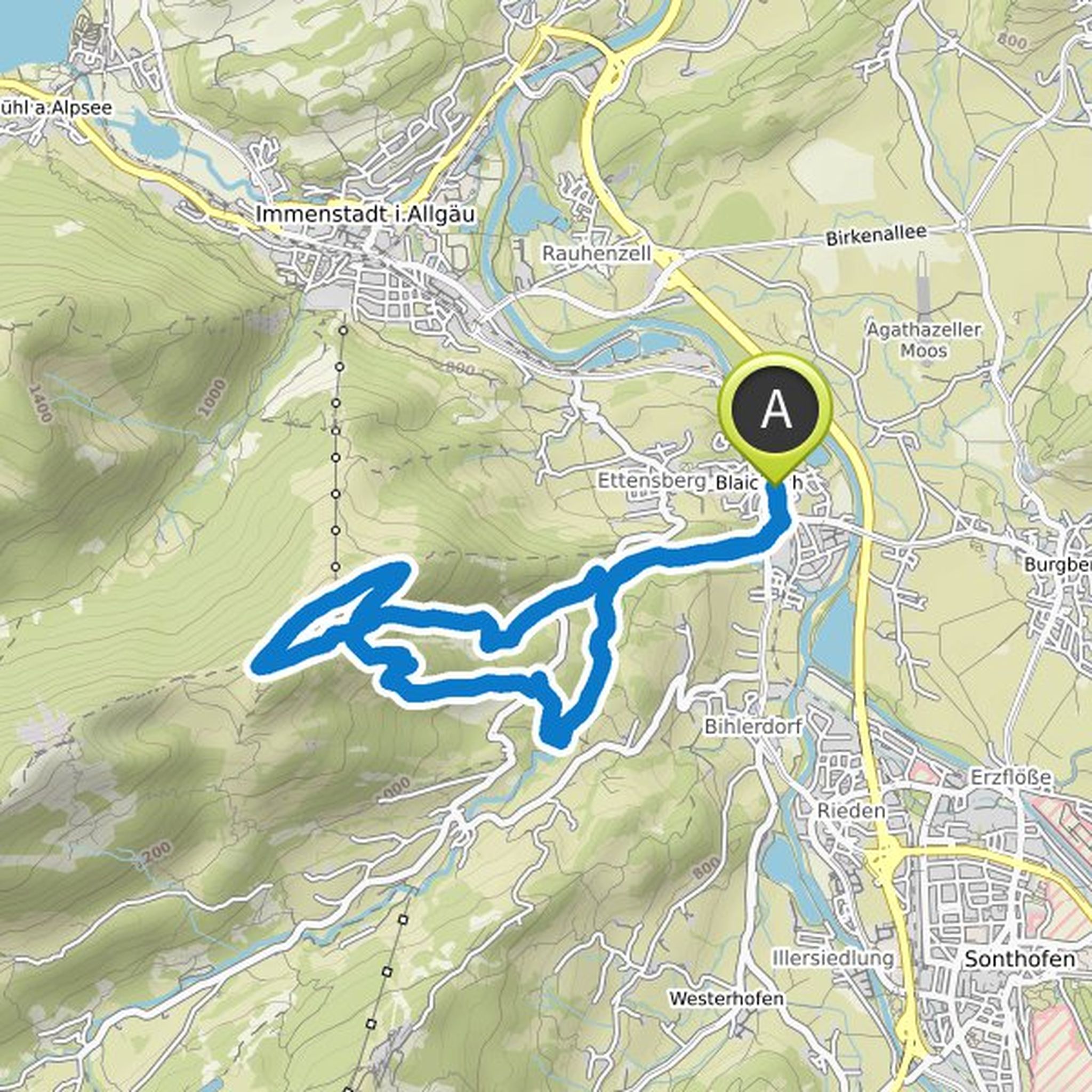
friluftsliz planned a hike
June 30, 2024
Time
Distance
Speed
Descent
friluftsliz planned a hike
June 30, 2024
Time
Distance
Speed
Ascent
Descent
friluftsliz planned a hike
June 30, 2024
Time
Distance
Speed
Ascent
Descent
friluftsliz planned a hike
June 30, 2024
Time
Distance
Speed
Ascent
Descent
friluftsliz planned a hike
June 30, 2024
Time
Distance
Speed
Ascent
Descent
friluftsliz planned a hike
October 13, 2023
Time
Distance
Speed
Ascent
Descent
friluftsliz and Katrin1185 planned a run
May 17, 2022
Time
Distance
Pace
Ascent
Descent
friluftsliz planned a hike
January 27, 2022
Time
Distance
Speed
Ascent
Descent
friluftsliz planned a hike
January 27, 2022
Time
Distance
Speed
Ascent
Descent
friluftsliz planned a hike
January 27, 2022
Time
Distance
Speed
Ascent
Descent
friluftsliz planned a hike
January 27, 2022
Time
Distance
Speed
Ascent
Descent