Timeline
Ceratos planned a hike
August 10, 2022
Time
Distance
Speed
Ascent
Descent
Ceratos planned a hike
August 10, 2022
Time
Distance
Speed
Ascent
Descent
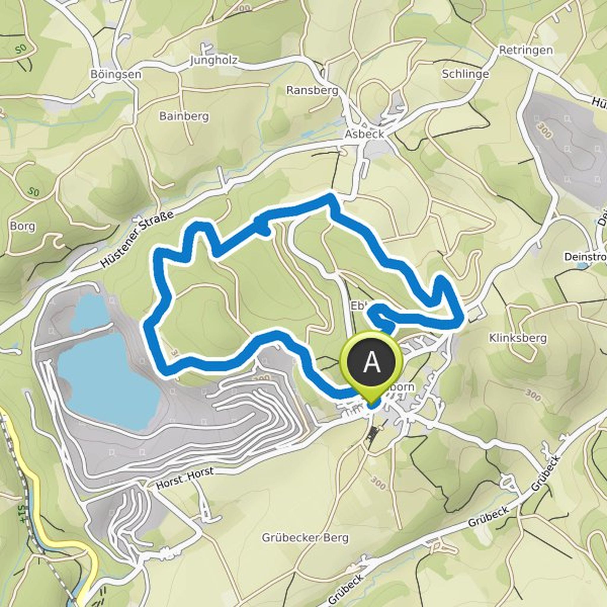
Ceratos planned a hike
August 8, 2022
Time
Distance
Speed
Ascent
Descent
Ceratos planned a hike
August 5, 2022
Time
Distance
Speed
Ascent
Descent
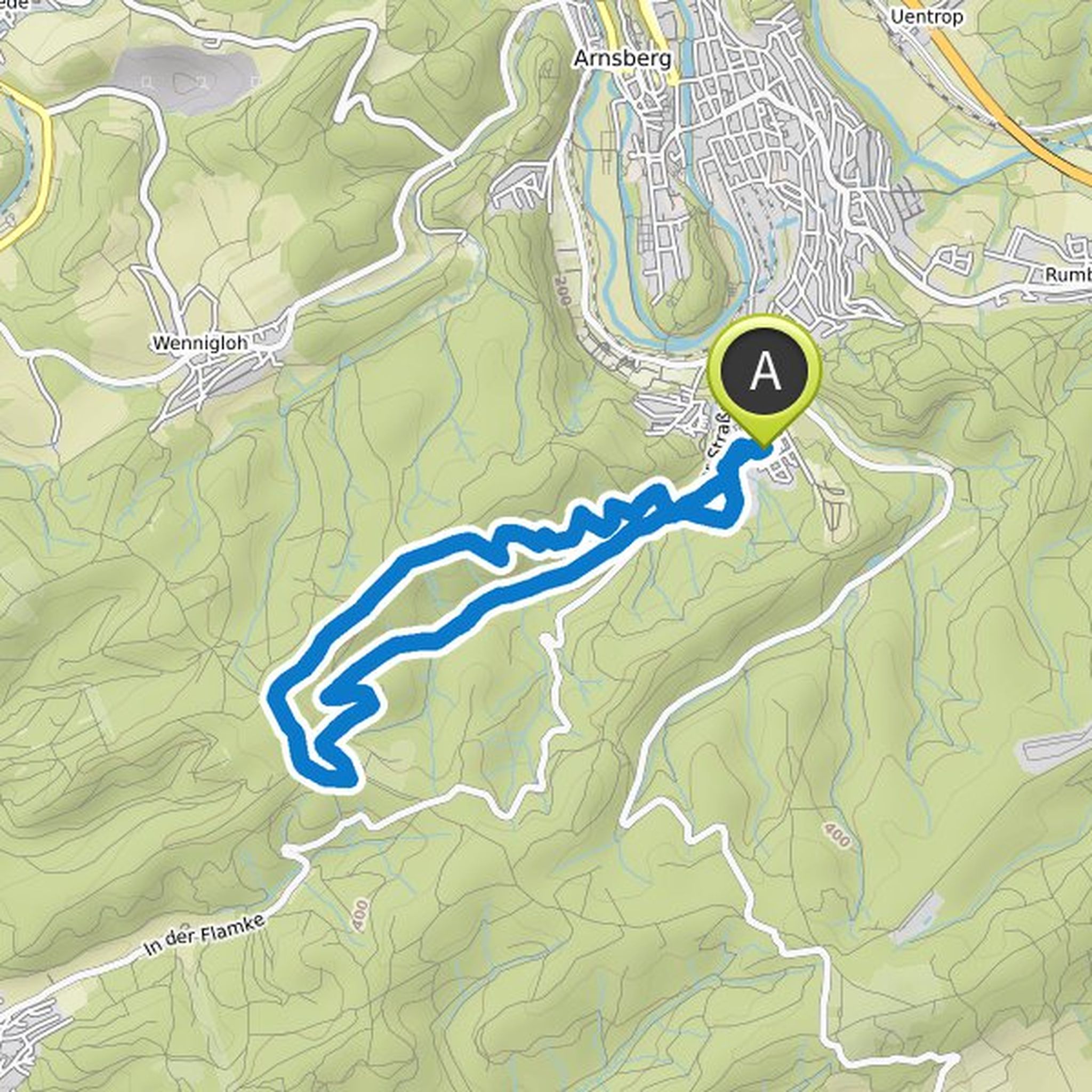
Ceratos planned a hike
August 4, 2022
Time
Distance
Speed
Ascent
Descent
Ceratos planned a hike
August 4, 2022
Time
Distance
Speed
Ascent
Descent
Ceratos planned a hike
August 4, 2022
Time
Distance
Speed
Ascent
Descent
Ceratos planned a hike
June 17, 2022
Time
Distance
Speed
Ascent
Descent
Ceratos planned a hike
June 17, 2022
Time
Distance
Speed
Ascent
Descent
Ceratos planned a hike
April 18, 2022
Time
Distance
Speed
Ascent
Descent
Ceratos planned a hike
April 18, 2022
Time
Distance
Speed
Ascent
Descent
Ceratos planned a hike
April 18, 2022
Time
Distance
Speed
Ascent
Descent
Ceratos planned a hike
January 30, 2022
Time
Distance
Speed
Ascent
Descent
Ceratos planned a hike
January 7, 2022
Time
Distance
Speed
Ascent
Descent
August 8, 2022
Beautiful tour!
But be sure to wear sturdy shoes. Intermediate routes of moderate difficulty. You need a sure footing for the climbing passages. Bathing suits are highly recommended.
Translated by Google •