Timeline
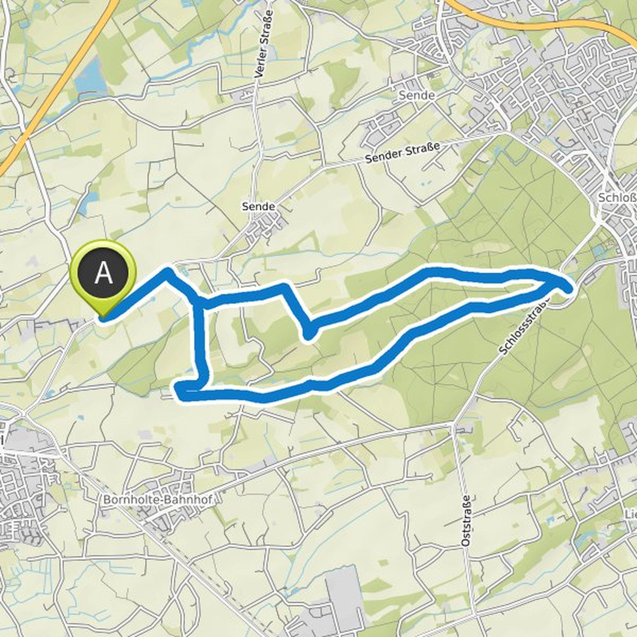
dogbenjan05 planned a hike
October 6, 2022
Time
4h25m
Distance
13.9km
Speed
3.1km/h
Ascent
560m
Descent
560m
Map data © OpenStreetMap contributors
Max likes this.
dogbenjan05 planned a hike
October 6, 2022
Time
5h28m
Distance
18.3km
Speed
3.4km/h
Ascent
560m
Descent
560m
Map data © OpenStreetMap contributors
dogbenjan05 planned a hike
October 3, 2022
Time
2h04m
Distance
6.80km
Speed
3.3km/h
Ascent
230m
Descent
230m
Map data © OpenStreetMap contributors
dogbenjan05 planned a hike
January 1, 2022
Time
3h35m
Distance
13.9km
Speed
3.9km/h
Ascent
70m
Descent
70m
Map data © OpenStreetMap contributors
dogbenjan05 planned a hike
October 9, 2021
Time
5h57m
Distance
20.3km
Speed
3.4km/h
Ascent
530m
Descent
530m

Map data © OpenStreetMap contributors