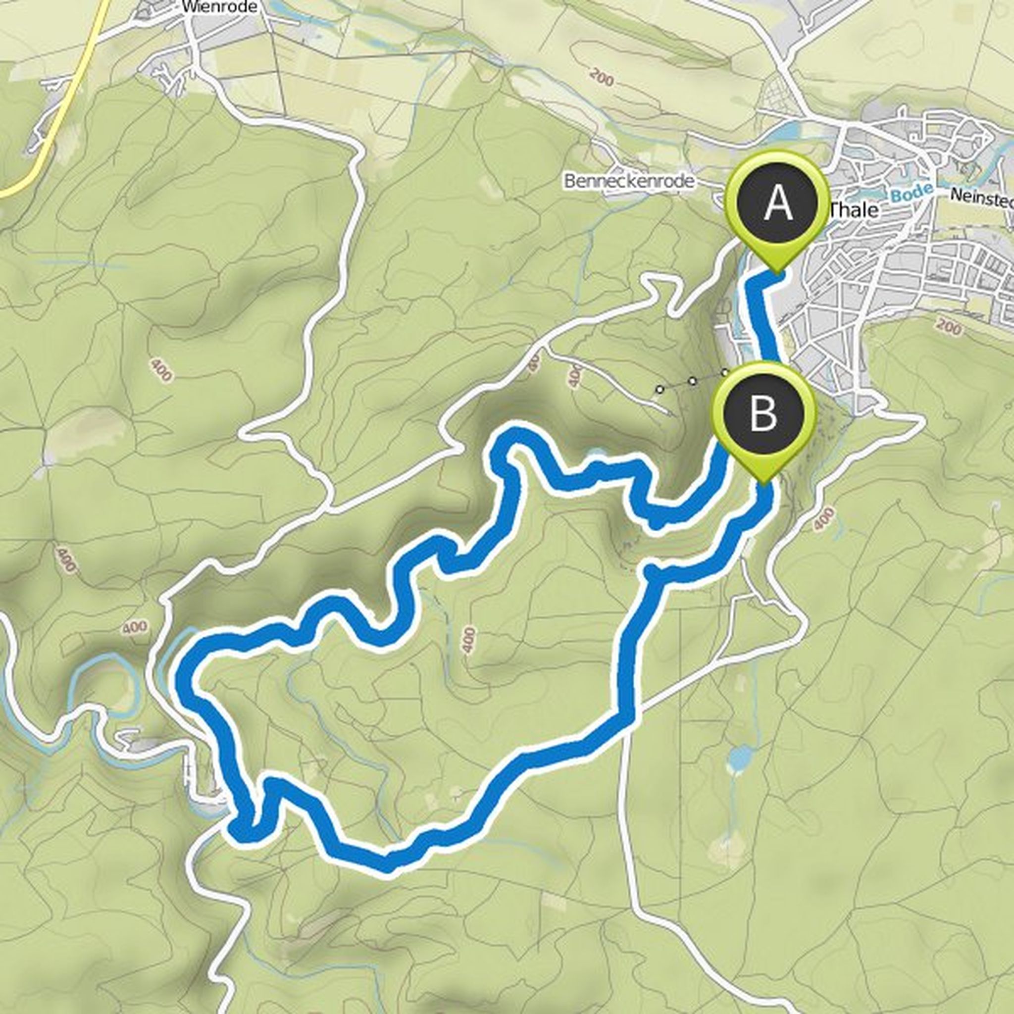
Timeline
Andreas planned a hike
March 8, 2019
Time
5h09m
Distance
18.6km
Speed
3.6km/h
Ascent
320m
Descent
320m

Map data © OpenStreetMap contributors
Andreas planned a hike
February 28, 2019
Time
7h21m
Distance
26.1km
Speed
3.5km/h
Ascent
560m
Descent
560m

Map data © OpenStreetMap contributors
Andreas planned a hike
February 27, 2019
Time
4h38m
Distance
15.8km
Speed
3.4km/h
Ascent
430m
Descent
430m

Map data © OpenStreetMap contributors
Andreas planned a hike
February 26, 2019
Time
5h36m
Distance
18.6km
Speed
3.3km/h
Ascent
520m
Descent
520m

Map data © OpenStreetMap contributors
Andreas planned a hike
February 26, 2019
Time
5h48m
Distance
19.9km
Speed
3.4km/h
Ascent
500m
Descent
500m

Map data © OpenStreetMap contributors
Andreas planned a hike
February 19, 2019
Time
4h42m
Distance
16.1km
Speed
3.4km/h
Ascent
510m
Descent
240m
Map data © OpenStreetMap contributors