Timeline
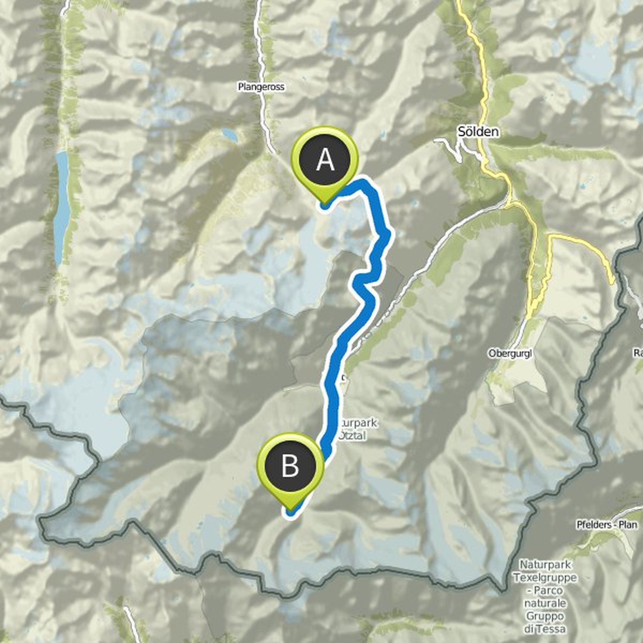
xc.krohnx and others planned a hike
May 9, 2019
Time
Distance
Speed
Ascent
Descent

xc.krohnx and others planned a hike
May 9, 2019
Time
Distance
Speed
Ascent
Descent

Time
Distance
Speed
Ascent
Descent

May 9, 2019
Accommodation:
Brunswick hut:
Tel. +43 664 20 12 013
Outside the opening times:
Tel. +43 664 53 86 191
Alternative for overbooking Braunschweiger:
Gletscherstube
Dagmar Gudolf
Mandarfen 66 | A-6481 St. Leonhard - Pitztal
Tel .: 0043 (0) 664 3944118
E-Mail: info@gletscherstube.at
Website: gletscherstube.at
Translated by Google •
xc.krohnx and others planned a hike
May 7, 2019
Time
Distance
Speed
Ascent
Descent

May 9, 2019
Contacts:
Larcher Alm / Larcher Alpe
Thomas Leitner
Tel .: +43 (0) 650/8806589
schlachtstelle-wenns@web.de
about 15 bed storage
Opening times: from mid-June to the end of September
Galflun Alm / Galflun Alpe
Daniel Erhart and Raich Kathrin
Tel .: +43 (0) 664/6104328
Fax .: +43 (0) 5412 / 63051-2
galflun@gmx.at
Translated by Google •
xc.krohnx and others planned a hike
May 7, 2019
Time
Distance
Speed
Ascent
Descent

May 9, 2019
Contacts:
Bus & Taxi Feuerstein (for transfer Bach-Madau)
Tel. +43 (0) 5633 5633 or +43 (0) 676 930 9901
E-Mail: office@feuerstein-bus.at
Website: feuerstein-bus.at
Berggasthaus Hermine in Madau
Klaus & Helga Frey
Madau 28
6511 zams
Austria | austria
Telephone: +43 (0) 664 5339770
E-Mail: info@madau.com
Website
Translated by Google •
xc.krohnx and others planned a hike
May 7, 2019
Time
Distance
Speed
Ascent
Descent

May 9, 2019
Food: Kemptner hut
Translated by Google •
xc.krohnx and others planned a hike
January 21, 2019
Time
Distance
Speed
Ascent
Descent

xc.krohnx and others planned a hike
January 21, 2019
Time
Distance
Speed
Ascent
Descent

xc.krohnx and others planned a hike
January 21, 2019
Time
Distance
Speed
Ascent
Descent

December 4, 2018
From here you can either take the bus to Merano and from there on the journey home, or take the bus to Vernagt-Katharinaberg then for two more days on the Meraner Höhenweg trail with its 1000-step gorge to hike.
Translated by Google •
xc.krohnx and others planned a hike
January 21, 2019
Time
Distance
Speed
Ascent
Descent
xc.krohnx and others planned a hike
January 21, 2019
Time
Distance
Speed
Ascent

December 3, 2018
Arrived by bus in Mittelberg is another 3h to Brunswick hut run.
Translated by Google •
xc.krohnx and others planned a hike
January 21, 2019
Time
Distance
Speed
Ascent
Descent

December 3, 2018
Day start with the gondola on the Venet. From there, you start walking until Wenns. There then either in the bus to Mittelberg or hike with an extra day.
Translated by Google •
xc.krohnx and others planned a hike
January 21, 2019
Time
Distance
Speed
Ascent
Descent

xc.krohnx and others planned a hike
January 21, 2019
Time
Distance
Speed
Ascent
Descent

December 3, 2018
The piece from Holzgau to Bach can also be reached by bus. This saves about 14km of the 26km total stage
Translated by Google •
xc.krohnx and others planned a hike
January 21, 2019
Time
Distance
Speed
Ascent
Descent

May 9, 2019
2.5km by bus through the tunnel
Translated by Google •