Timeline
Joachim planned a hike
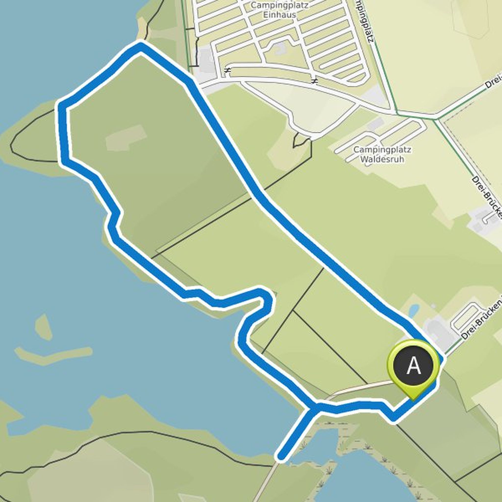
February 13, 2022
Time
0h58m
Distance
3.79km
Speed
4.0km/h
Ascent
10m
Descent
10m

Map data © OpenStreetMap contributors
Joachim planned a hike
February 19, 2021
Time
0h43m
Distance
2.84km
Speed
4.0km/h
Ascent
0m
Descent
0m

Map data © OpenStreetMap contributors
Joachim planned a hike
August 31, 2020
Time
1h27m
Distance
5.72km
Speed
4.0km/h
Ascent
10m
Descent
10m

Map data © OpenStreetMap contributors
Joachim planned a hike
June 1, 2020
Time
1h24m
Distance
5.29km
Speed
3.8km/h
Ascent
50m
Descent
50m

Map data © OpenStreetMap contributors
Joachim planned a hike
May 10, 2020
Time
0h35m
Distance
2.28km
Speed
4.0km/h
Ascent
0m
Descent
0m
Map data © OpenStreetMap contributors
Joachim planned a hike
January 4, 2019
Time
2h20m
Distance
9.23km
Speed
4.0km/h
Ascent
20m
Descent
20m

Map data © OpenStreetMap contributors
Joachim planned a hike
January 2, 2019
Time
1h31m
Distance
5.99km
Speed
3.9km/h
Ascent
10m
Descent
10m

Map data © OpenStreetMap contributors
February 13, 2022
In wet weather, the only way from the starting point was not accessible with normal shoes. Wellington boots would have been fine.
Translated by Google •