Timeline
Time
Distance
Speed
Ascent
Descent
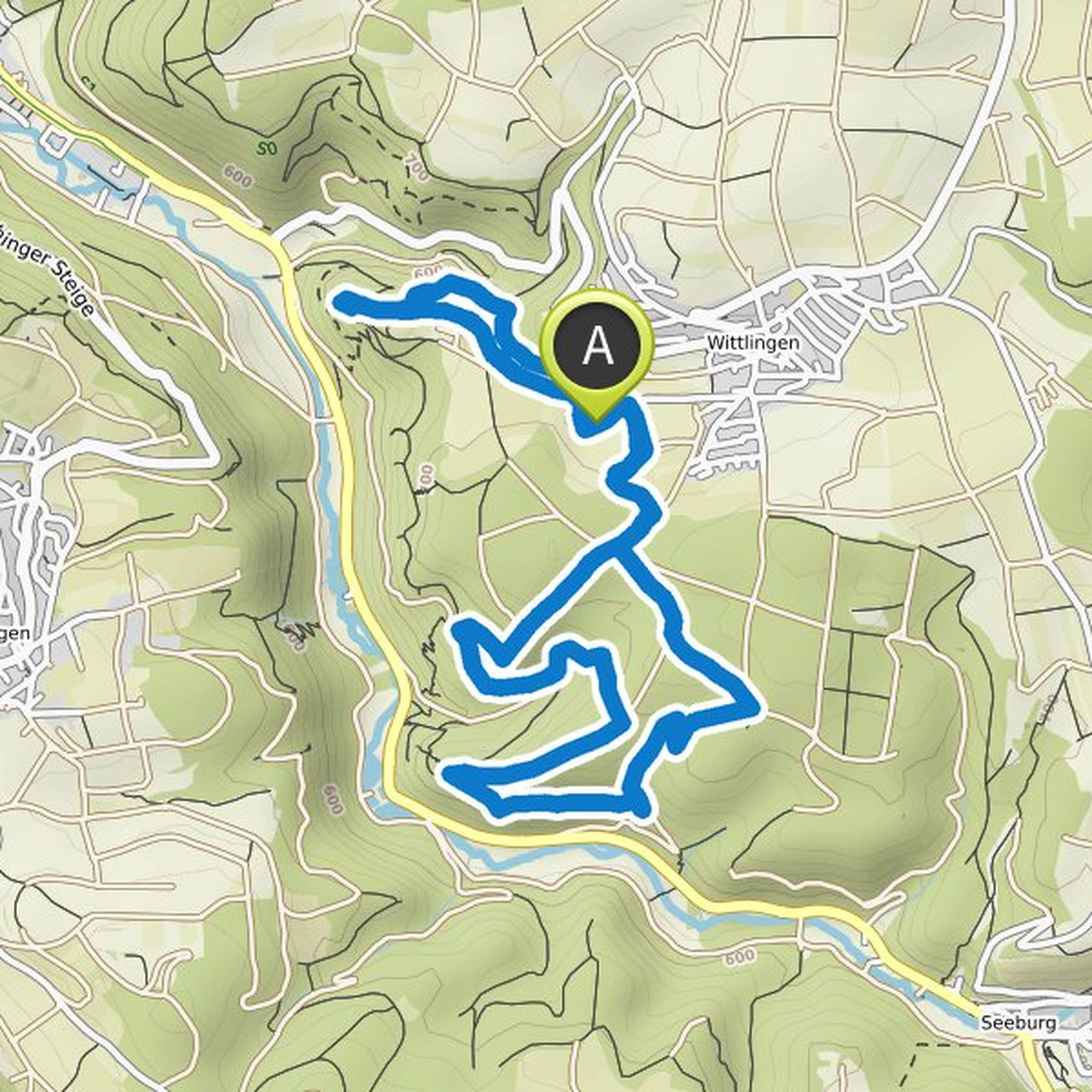
Antje planned a hike
October 3, 2022
Time
Distance
Speed
Ascent
Descent
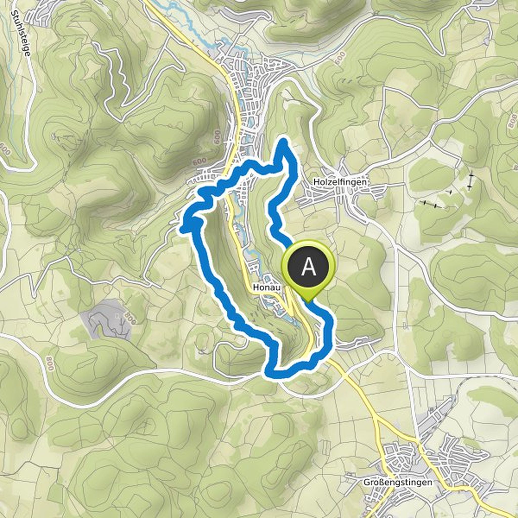
Antje planned a hike
October 3, 2022
Time
Distance
Speed
Ascent
Descent
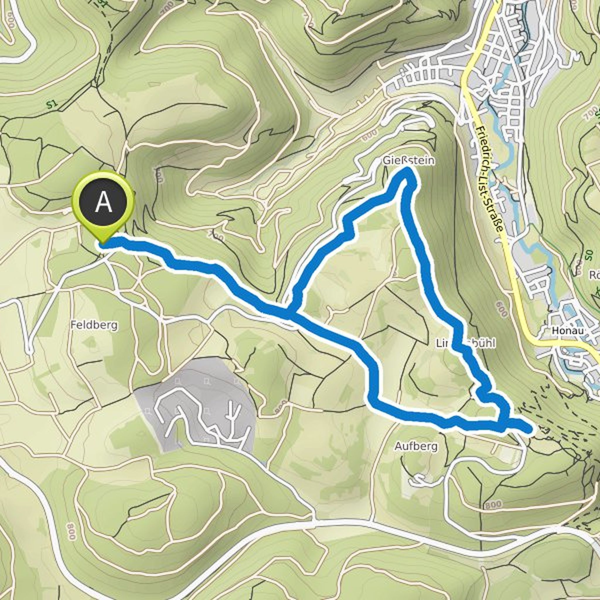
Antje planned a hike
October 3, 2022
Time
Distance
Speed
Ascent
Descent
Antje planned a bike ride
March 5, 2022
Time
Distance
Speed
Ascent
Descent

Antje planned a hike
October 31, 2021
Time
Distance
Speed
Ascent
Descent

Antje planned a hike
October 31, 2021
Time
Distance
Speed
Ascent
Descent
Antje planned a hike
October 23, 2021
Time
Distance
Speed
Ascent
Descent
Antje planned a hike
October 23, 2021
Time
Distance
Speed
Ascent
Descent
Time
Distance
Speed
Ascent
Descent

Antje planned a hike
September 8, 2021
Time
Distance
Speed
Ascent
Descent

Antje planned a hike
September 2, 2021
Time
Distance
Speed
Ascent
Descent

Antje planned a hike
August 18, 2021
Time
Distance
Speed
Ascent
Descent

Antje planned a hike
August 18, 2021
Time
Distance
Speed
Ascent
Descent

Antje planned a bike ride
June 3, 2021
Time
Distance
Speed
Ascent
Descent
