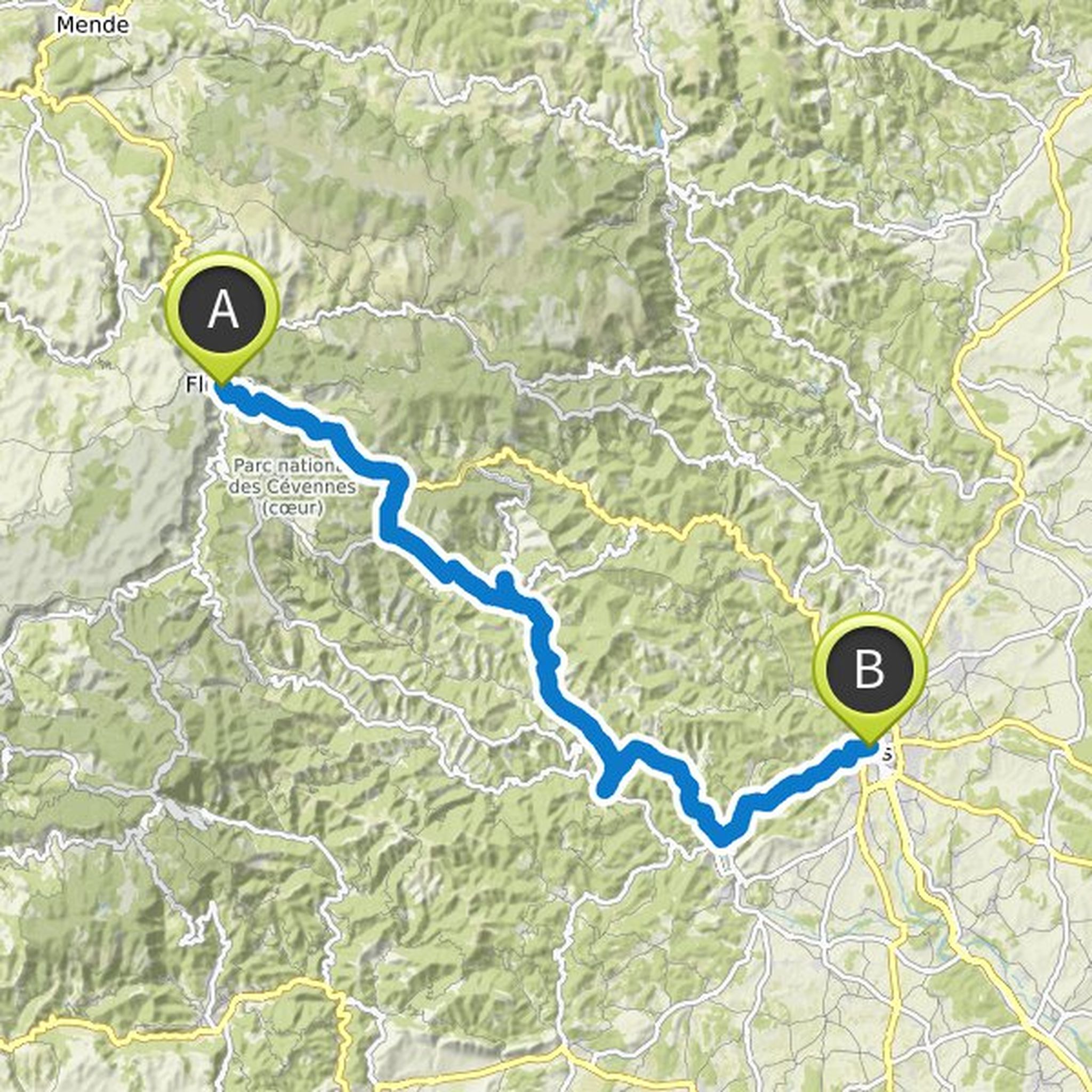
Timeline
Marc P and others planned a gravel ride
December 17, 2021
Time
Distance
Speed
Ascent
Descent

François A likes this.
Marc P and others planned a road ride
January 29, 2021
Time
Distance
Speed
Ascent
Descent

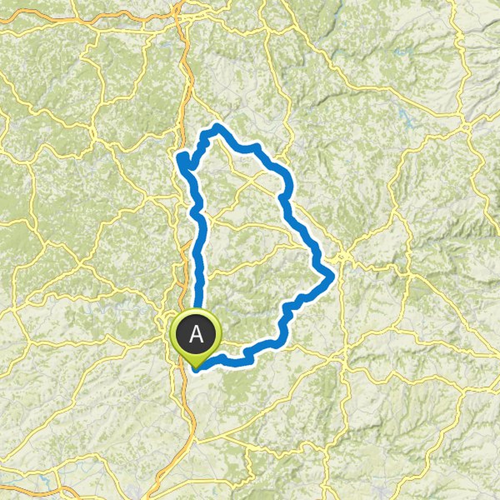
Marc P and others planned a gravel ride
January 9, 2021
Time
Distance
Speed
Ascent
Descent

January 9, 2021
10k shortened version to account for cool weather!
Translated by Google •
Marc P and others planned a gravel ride
January 7, 2021
Time
Distance
Speed
Ascent
Descent

Seb Le Baroudeur likes this.

Marc P and others planned a road ride
October 7, 2020
Time
Distance
Speed
Ascent
Descent
Marc P and others planned a road ride
October 7, 2020
Time
Distance
Speed
Ascent
Descent

Laetitia P likes this.
Marc P and others planned a road ride
October 7, 2020
Time
Distance
Speed
Ascent
Descent

Marc P and others planned a road ride
July 29, 2020
Time
Distance
Speed
Ascent
Descent

July 29, 2020
With passage at the beginning in Clermont ... It is in the city but it avoids the hilly foothills to the west of the city, and passage through the Cézallier which seems to be a superb corner (possibility of scraping 10 km by gravel track - cut the tip of the outline)
Translated by Google •
Marc P and others planned a road ride
June 11, 2020
Time
Distance
Speed
Ascent
Descent

Carole and others planned a road ride
June 8, 2020
Time
Distance
Speed
Ascent
Descent

Marc P and others planned a road ride
May 25, 2020
Time
Distance
Speed
Ascent
Descent

Celine Collette and Carole planned a gravel ride
May 5, 2020
Time
Distance
Speed
Ascent
Descent

Carole and others planned a gravel ride
May 3, 2020
Time
Distance
Speed
Ascent
Descent

Celine Collette and François A like this.
December 17, 2021
Departure Saturday 18/12 1:45 p.m. from Rocamadour (gas station)
Translated by Google •