Timeline
Manuel planned a hike
June 3, 2022
Time
Distance
Speed
Ascent
Descent
Manuel planned a hike
June 3, 2022
Time
Distance
Speed
Ascent
Descent
Manuel planned a hike
May 24, 2022
Time
Distance
Speed
Ascent
Descent
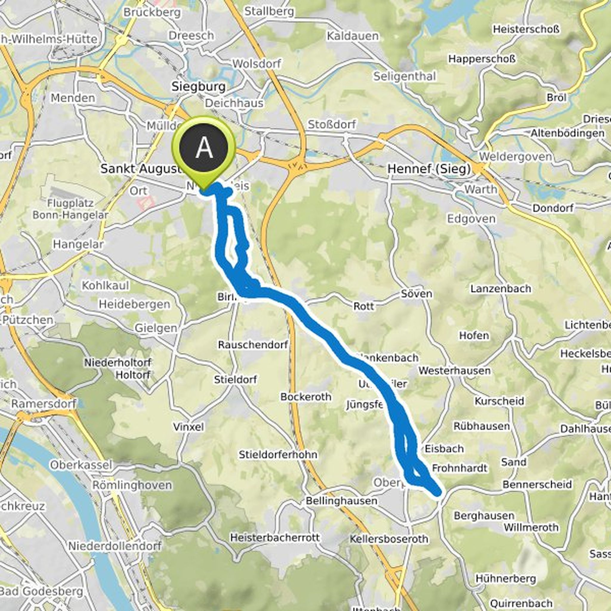
Manuel planned a bike ride
October 31, 2021
Time
Distance
Speed
Ascent
Descent
Manuel planned a hike
August 10, 2021
Time
Distance
Speed
Ascent
Descent

Manuel planned a hike
July 31, 2021
Time
Distance
Speed
Ascent
Descent

Manuel planned a hike
July 30, 2021
Time
Distance
Speed
Ascent
Descent

Manuel planned a hike
July 28, 2021
Time
Distance
Speed
Ascent
Descent

Manuel planned a hike
July 26, 2021
Time
Distance
Speed
Ascent
Descent

Time
Distance
Speed
Ascent
Descent

Manuel planned a bike ride
April 1, 2021
Time
Distance
Speed
Ascent
Descent

Manuel planned a hike
November 22, 2020
Time
Distance
Speed
Ascent
Descent

Time
Distance
Speed
Ascent
Descent

Manuel planned a hike
October 16, 2020
Time
Distance
Speed
Ascent
Descent

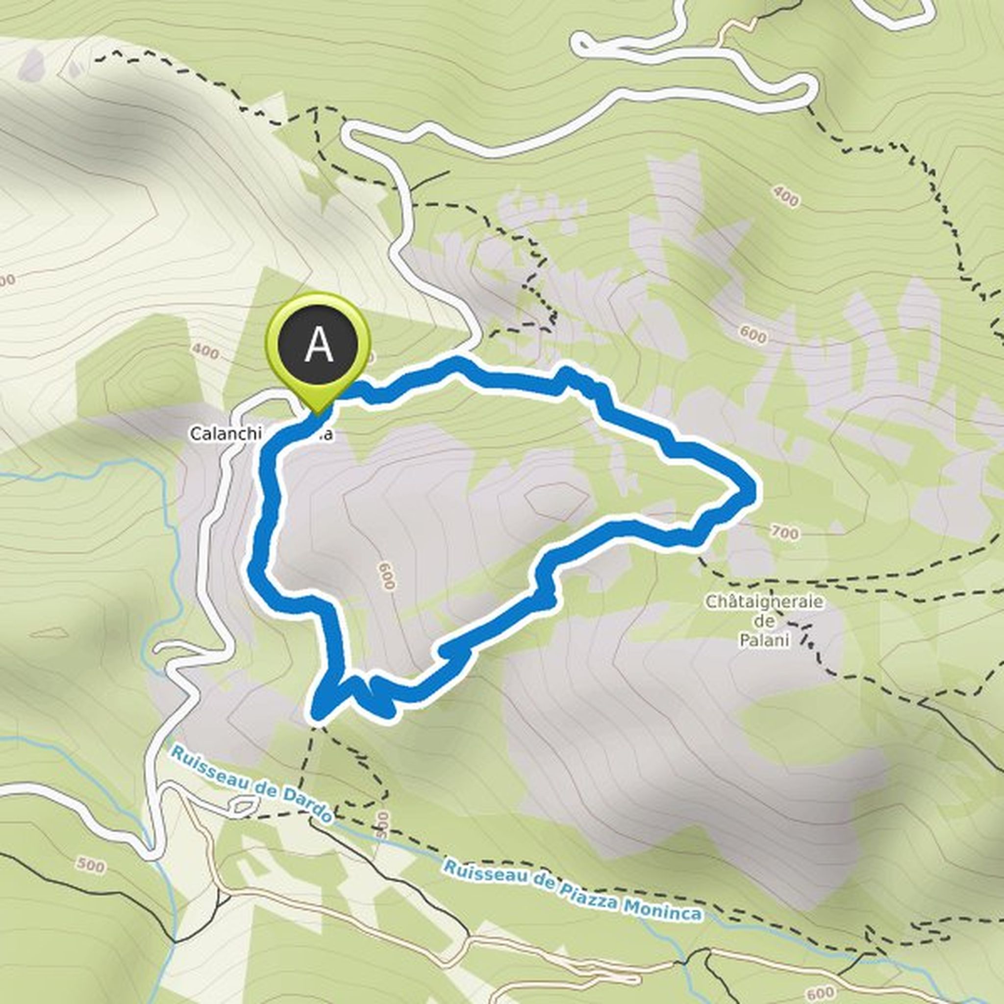
August 2, 2021
Nice tour, medium difficulty, always the most beautiful views of the Calanche. Parking is possible along the street, but few spaces.
Translated by Google •