Timeline
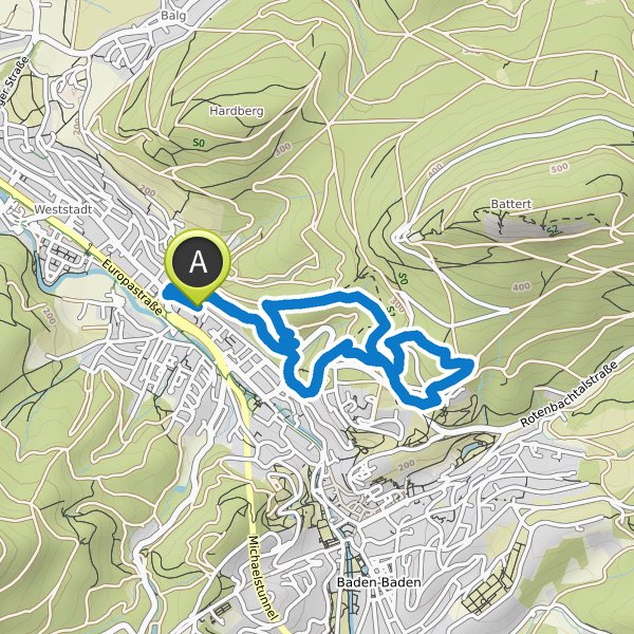
Fedir planned a hike
October 16, 2022
Time
Distance
Speed
Ascent
Descent
Fedir planned a hike
October 16, 2022
Time
Distance
Speed
Ascent
Descent
Fedir planned a hike
May 15, 2022
Time
Distance
Speed
Ascent
Descent
Fedir planned a hike
October 7, 2021
Time
Distance
Speed
Ascent
Descent

Fedir planned a hike
October 7, 2021
Time
Distance
Speed
Ascent
Descent
Fedir planned a hike
September 24, 2021
Time
Distance
Speed
Ascent
Descent

Fedir planned a hike
September 17, 2021
Time
Distance
Speed
Ascent
Descent

Fedir planned a bike ride
August 9, 2021
Time
Distance
Speed
Ascent
Descent

Fedir planned a mountaineering activity
July 22, 2021
Time
Distance
Speed
Ascent
Descent

Fedir planned a hike
July 22, 2021
Time
Distance
Speed
Ascent
Descent

Fedir planned a hike
May 15, 2020
Time
Distance
Speed
Ascent
Descent

Fedir planned a hike
April 25, 2020
Time
Distance
Speed
Ascent
Descent

Fedir planned a hike
April 25, 2020
Time
Distance
Speed
Ascent
Descent

Fedir planned a hike
April 25, 2020
Time
Distance
Speed
Ascent
Descent

Fedir planned a hike
April 25, 2020
Time
Distance
Speed
Ascent
Descent
