Timeline
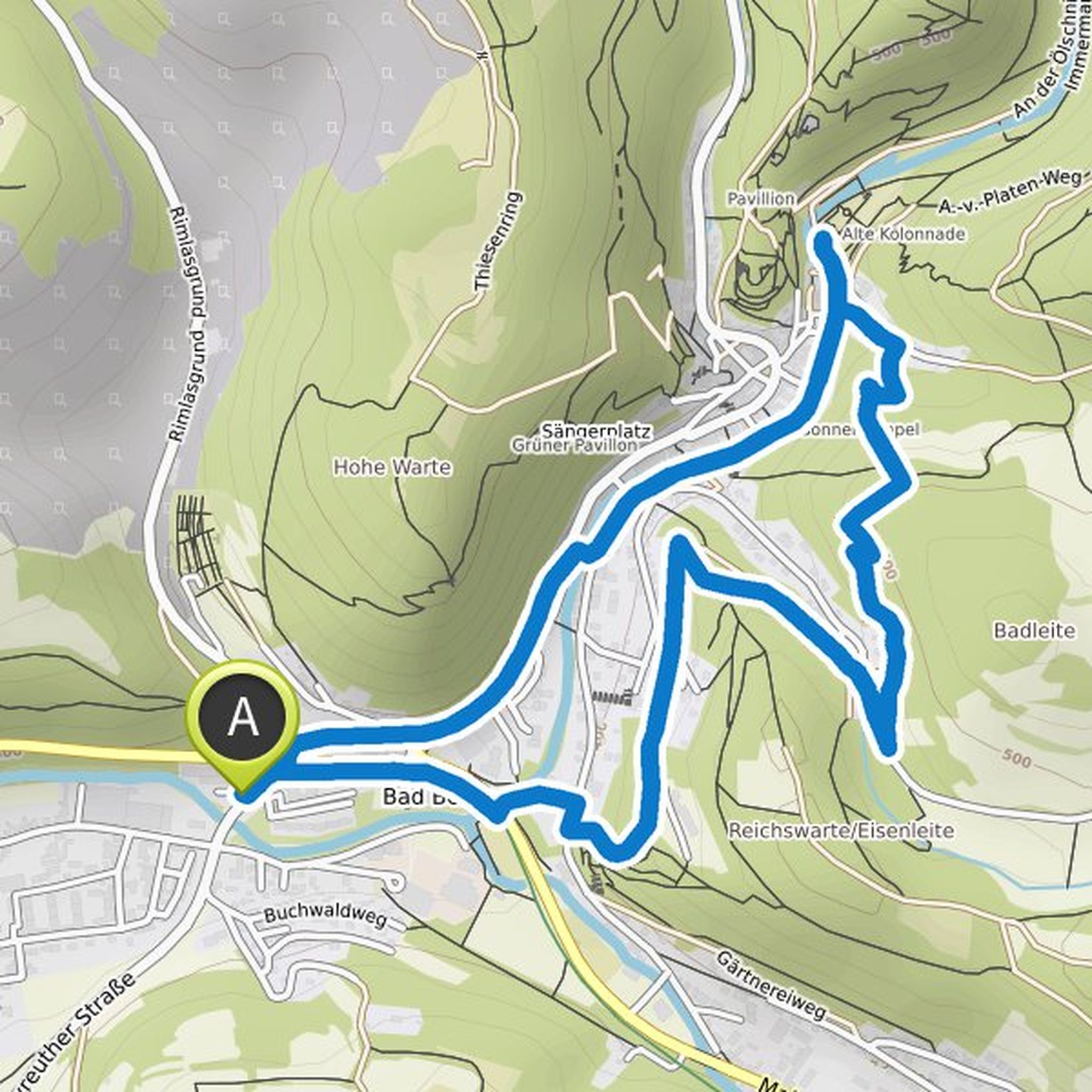
Astrid Schubert planned a hike
February 15, 2025
Time
Distance
Speed
Ascent
Descent
Astrid Schubert planned a hike
September 5, 2021
Time
Distance
Speed
Ascent
Descent
Astrid Schubert planned a hike
June 27, 2021
Time
Distance
Speed
Ascent
Descent
Astrid Schubert planned a hike
June 3, 2021
Time
Distance
Speed
Ascent
Descent
Astrid Schubert planned a hike
June 3, 2021
Time
Distance
Speed
Ascent
Descent
Astrid Schubert planned a hike
June 3, 2021
Time
Distance
Speed
Ascent
Descent
Astrid Schubert planned a hike
June 3, 2021
Time
Distance
Speed
Ascent
Descent
Astrid Schubert planned a hike
June 2, 2021
Time
Distance
Speed
Ascent
Descent
Astrid Schubert planned a hike
June 2, 2021
Time
Distance
Speed
Ascent
Descent

Astrid Schubert planned a hike
May 31, 2021
Time
Distance
Speed
Ascent
Descent
Astrid Schubert planned a hike
May 31, 2021
Time
Distance
Speed
Ascent
Descent
Astrid Schubert planned a hike
May 30, 2021
Time
Distance
Speed
Ascent
Descent
Astrid Schubert planned a hike
May 30, 2021
Time
Distance
Speed
Ascent
Descent
Astrid Schubert planned a hike
May 30, 2021
Time
Distance
Speed
Ascent
Descent
Astrid Schubert planned a hike
May 30, 2021
Time
Distance
Speed
Ascent
Descent