Timeline
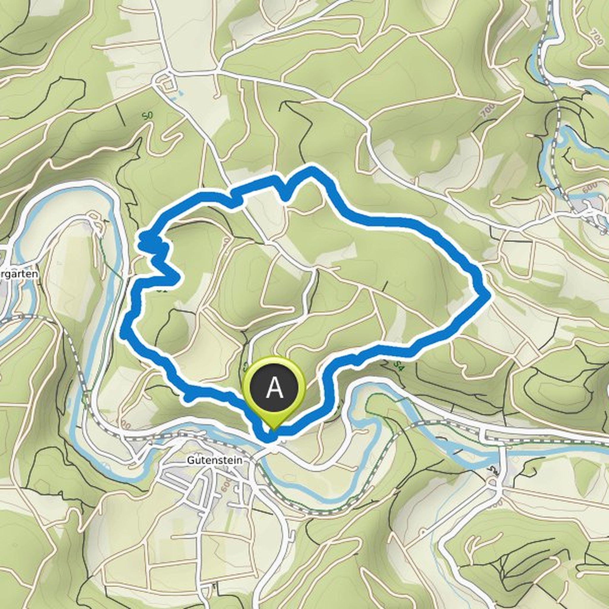
Thomas Moehrle planned a bike ride
August 19, 2022
Time
Distance
Speed
Ascent
Descent
Thomas Moehrle planned a hike
July 16, 2022
Time
Distance
Speed
Ascent
Descent
Thomas Moehrle planned a hike
July 16, 2022
Time
Distance
Speed
Ascent
Descent
Thomas Moehrle planned a hike
June 6, 2022
Time
Distance
Speed
Ascent
Descent
Thomas Moehrle planned a hike
June 6, 2022
Time
Distance
Speed
Ascent
Descent
Thomas Moehrle planned a hike
June 6, 2022
Time
Distance
Speed
Ascent
Descent
Thomas Moehrle planned a hike
June 6, 2022
Time
Distance
Speed
Ascent
Descent
Thomas Moehrle planned a hike
June 6, 2022
Time
Distance
Speed
Ascent
Descent
Thomas Moehrle planned a hike
June 6, 2022
Time
Distance
Speed
Ascent
Descent
Thomas Moehrle planned a hike
June 6, 2022
Time
Distance
Speed
Ascent
Descent
Thomas Moehrle planned a hike
June 6, 2022
Time
Distance
Speed
Ascent
Descent
Thomas Moehrle planned a hike
May 22, 2022
Time
Distance
Speed
Ascent
Descent
Thomas Moehrle planned a hike
May 1, 2022
Time
Distance
Speed
Ascent
Descent
Thomas Moehrle planned a hike
May 1, 2022
Time
Distance
Speed
Ascent
Descent
Thomas Moehrle planned a hike
October 24, 2021
Time
Distance
Speed
Ascent
Descent