Timeline
Time
Distance
Speed
Ascent
Descent
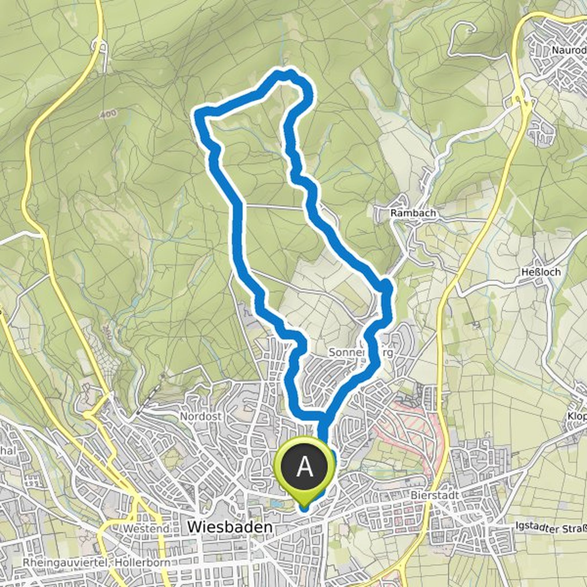
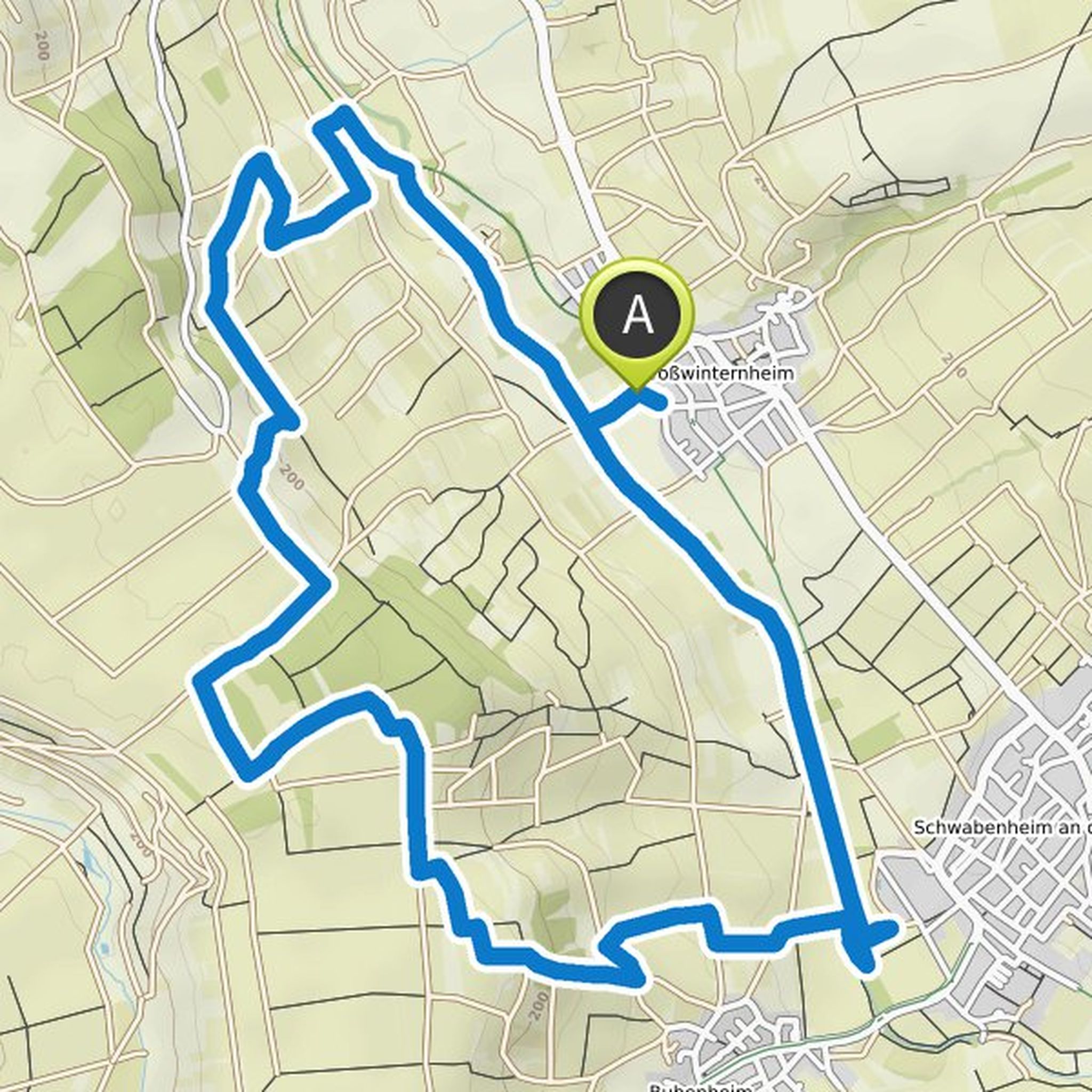
Jo planned a hike
September 9, 2020
Time
Distance
Speed
Ascent
Descent
Time
Distance
Speed
Ascent
Descent
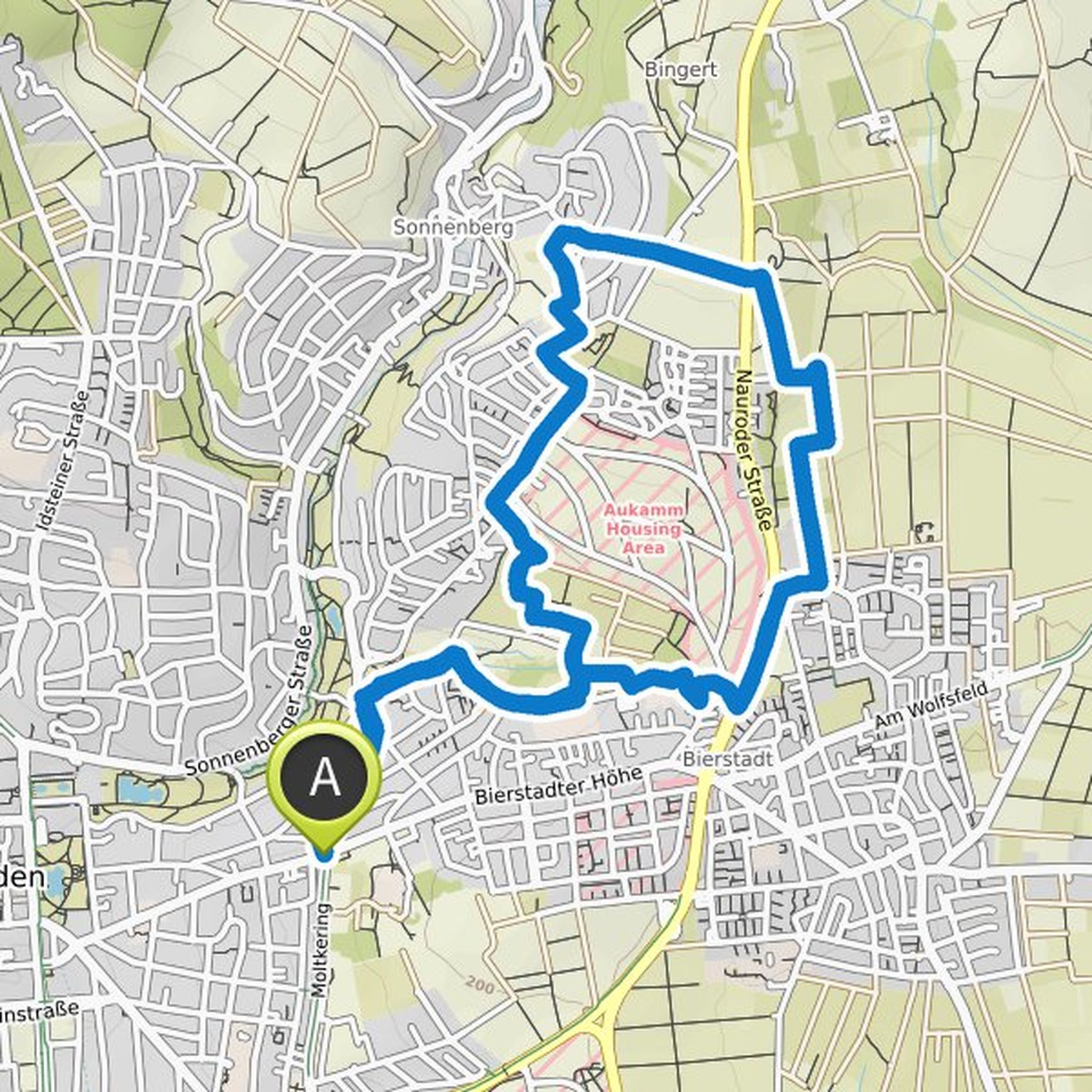
Jo and others planned a hike
May 9, 2020
Time
Distance
Speed
Ascent
Descent
Time
Distance
Speed
Ascent
Descent
Time
Distance
Speed
Ascent
Descent
Time
Distance
Speed
Ascent
Descent
Time
Distance
Speed
Ascent
Descent

Time
Distance
Speed
Ascent
Descent
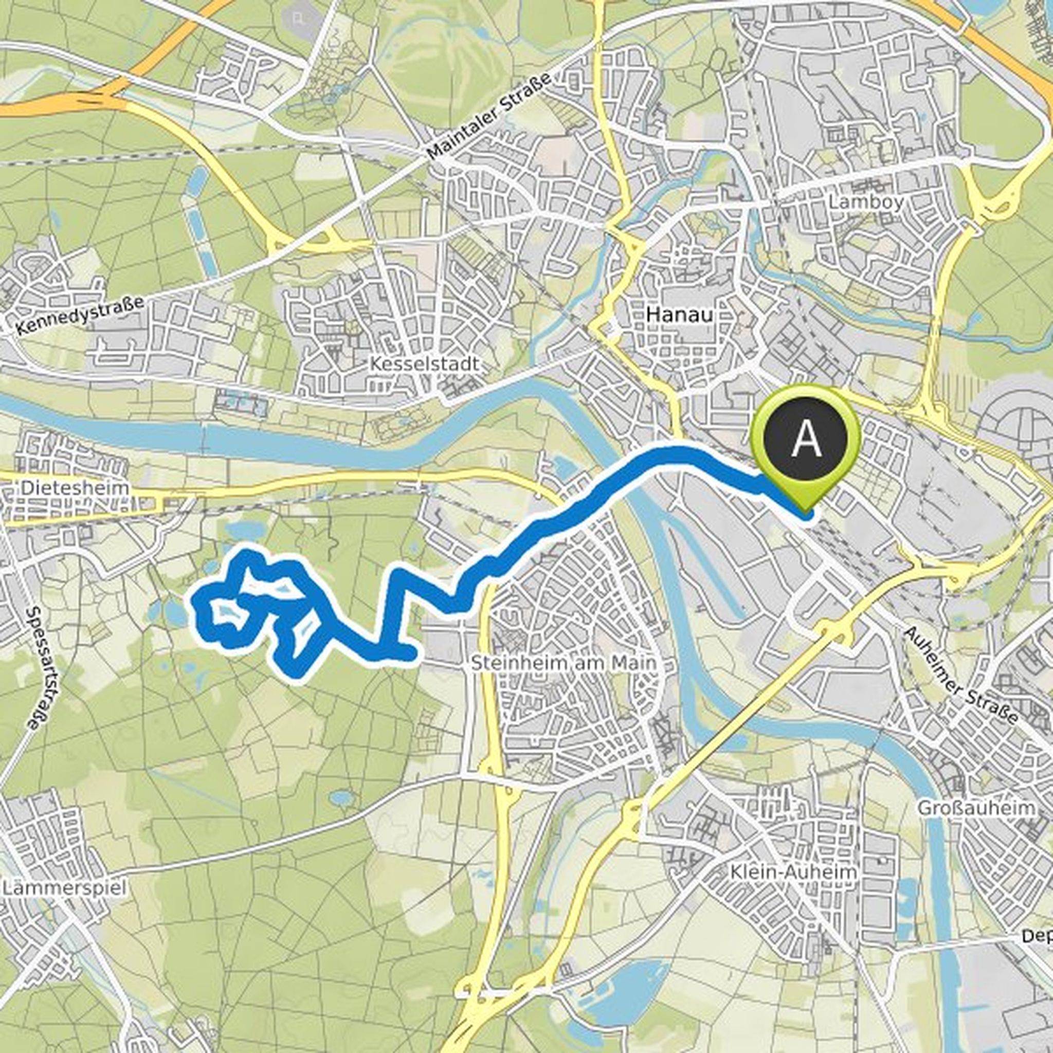
Jo planned a hike
September 6, 2019
Time
Distance
Speed
Ascent
Descent
September 6, 2019
Alternatively: much shorter from Hanau Steinheim bf or Mühlheim Bf
Translated by Google •
Time
Distance
Speed
Ascent
Descent
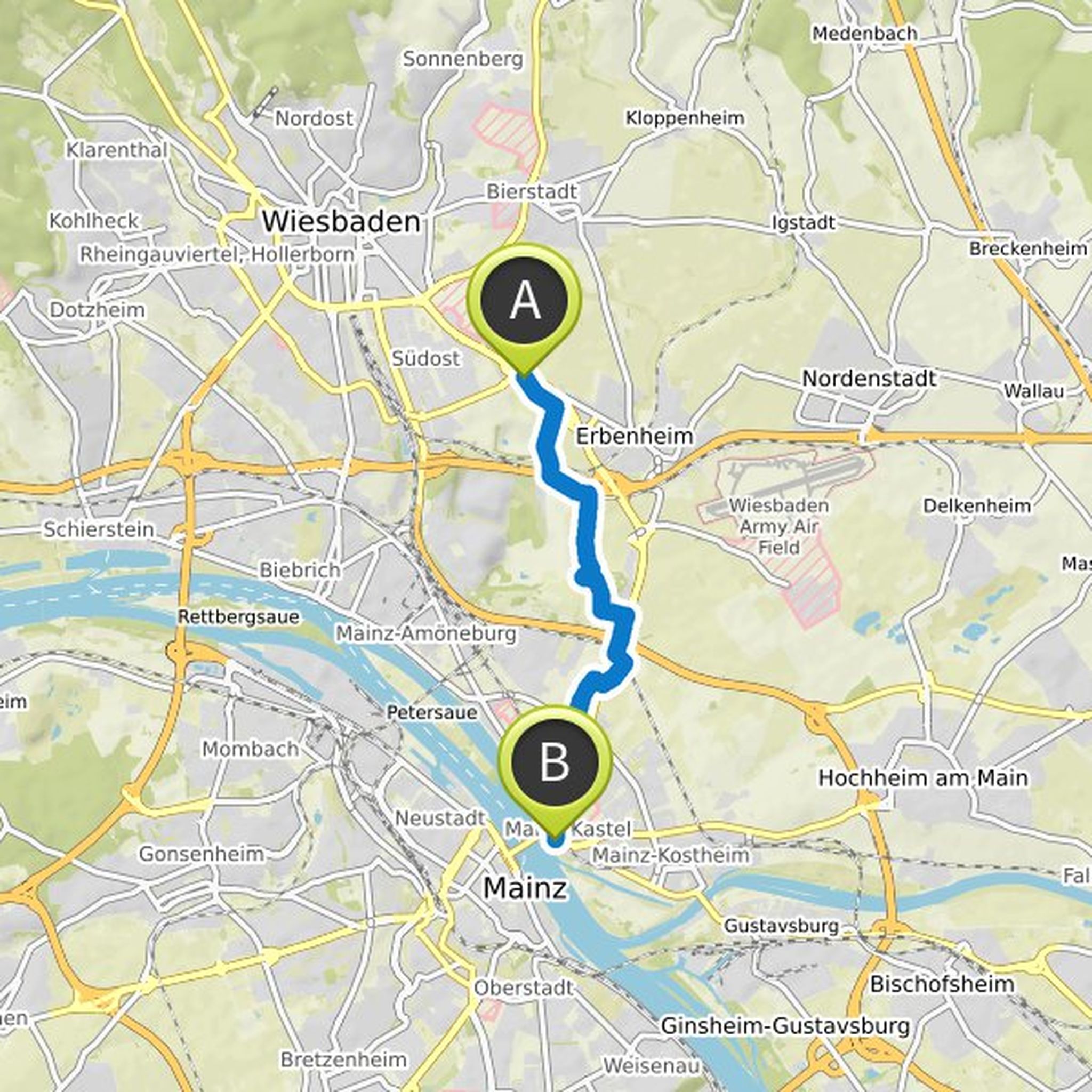
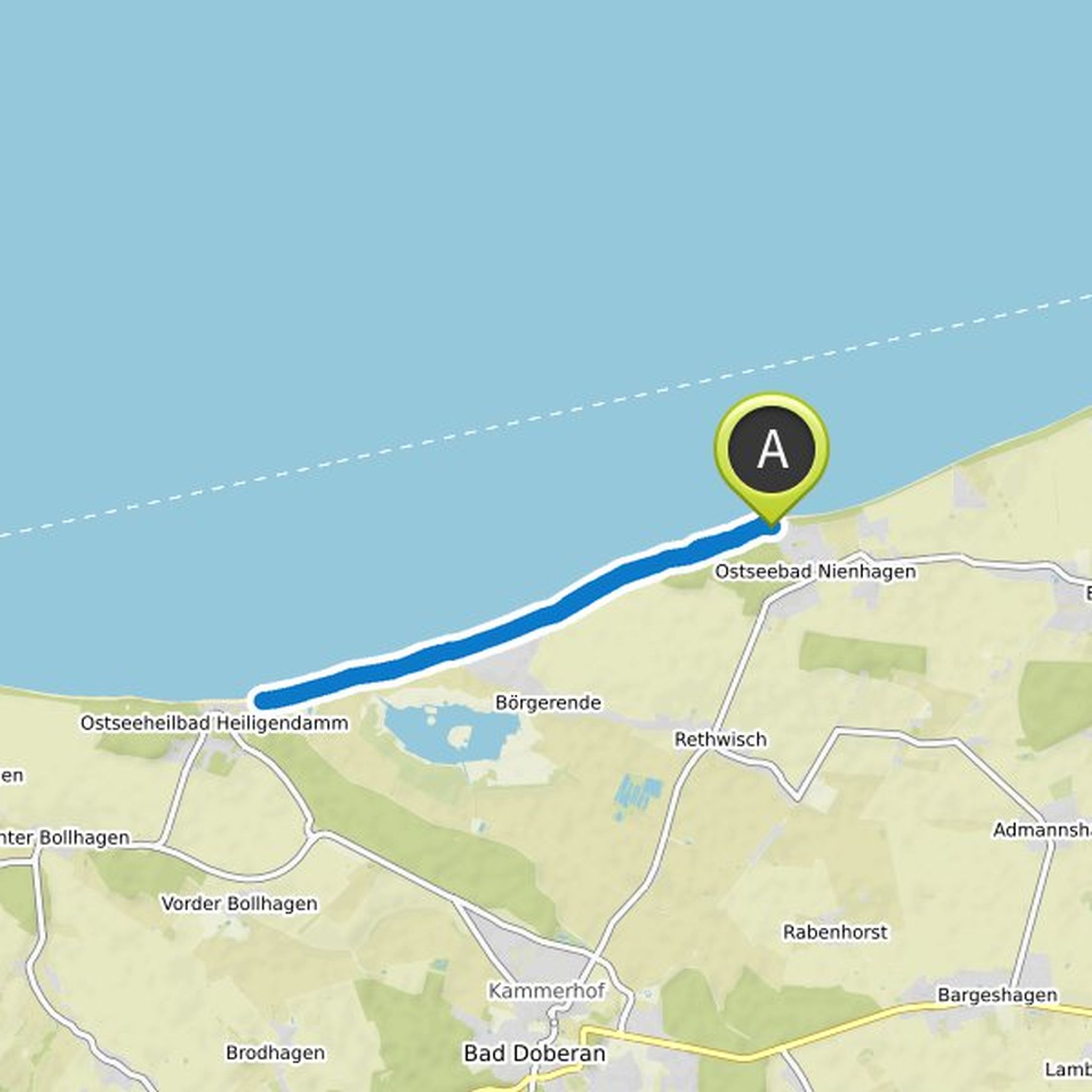
August 6, 2019
To Kasteler beach, back by train / bus
Translated by Google •
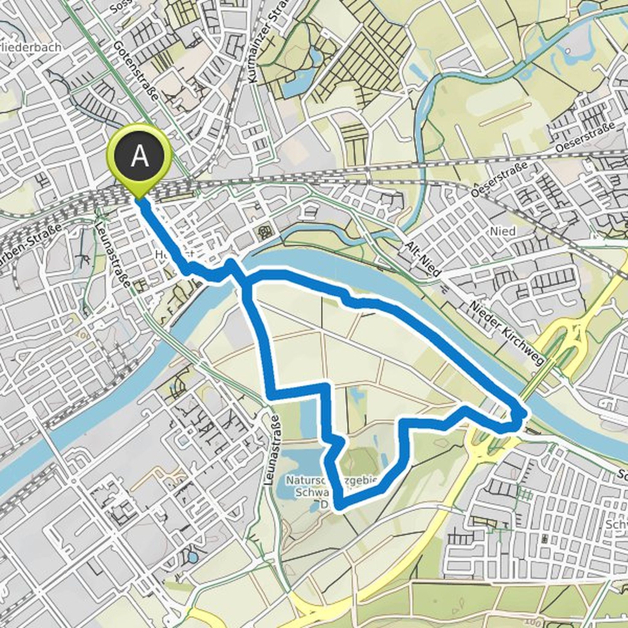
Jo planned a hike
August 4, 2019
Time
Distance
Speed
Ascent
Descent
Time
Distance
Speed
Ascent
Descent
Time
Distance
Speed
Ascent
Descent
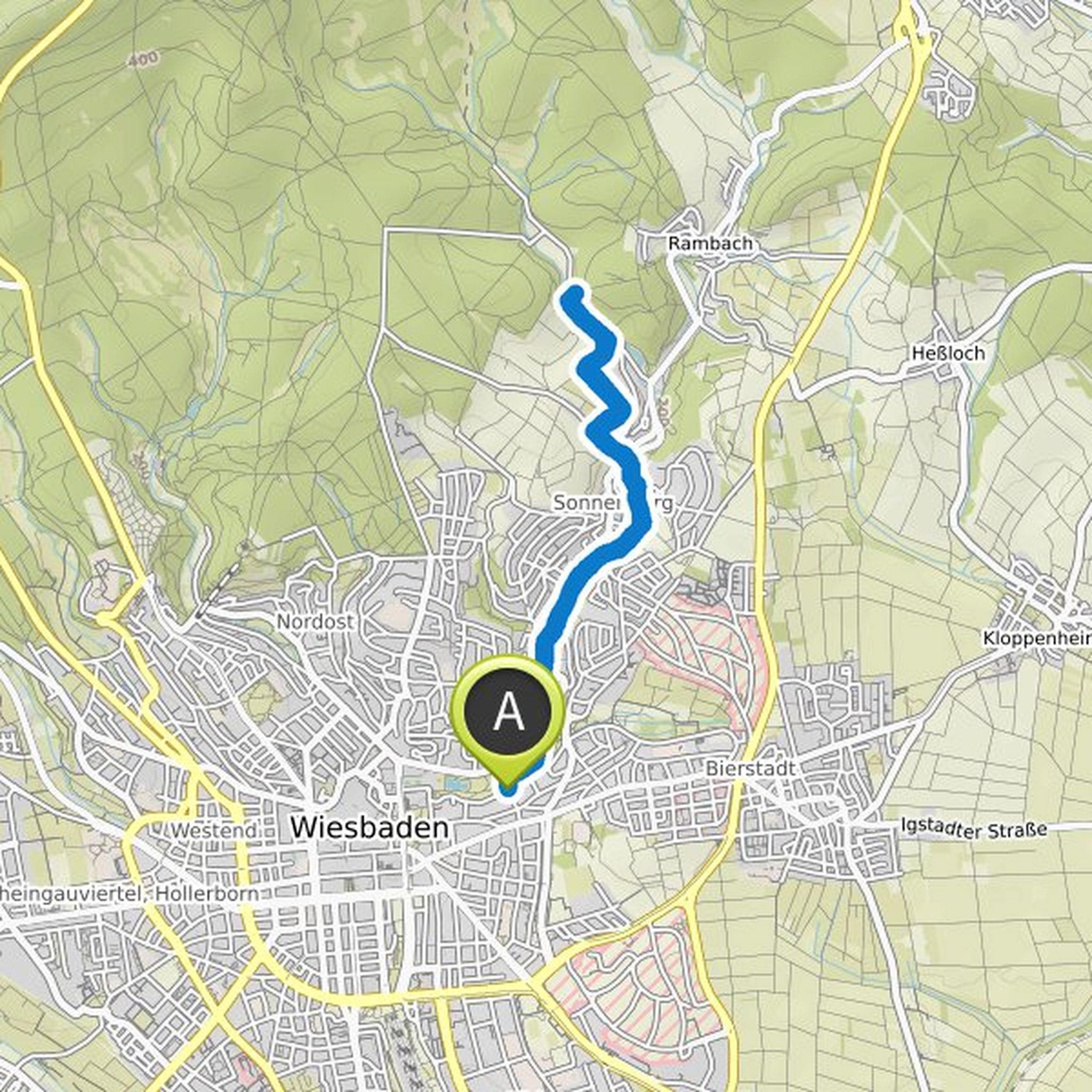
Jo planned a hike
April 30, 2019
Time
Distance
Speed
Ascent
Descent
September 11, 2019
Idea of Eïen: we drive with two cars. A car we put in Wicker as possible near the Wartturm (break / possibly reversal point if we do not still run to the iron tower) from. With the other we drive to the "donkey" or start of the route at the portal of the regional route Rhine-Main. Eïen (or all) can then
Translated by Google •