Timeline
Adler36 planned a hike
February 13, 2022
Time
Distance
Speed
Ascent
Descent
Adler36 planned a hike
February 13, 2022
Time
Distance
Speed
Ascent
Descent

Adler36 planned a hike
February 13, 2022
Time
Distance
Speed
Ascent
Descent
February 13, 2022
Amazing where you can get from Berkheim in a short time. At Köngen you suddenly have a lot of space and a wide view towards the Alb! And at the end of the tour there is even an arboretum with sequoias and many other tree species.
Translated by Google •
Adler36 planned a hike
February 13, 2022
Time
Distance
Speed
Ascent
Descent

February 13, 2022
Entertaining, beautiful, comfortable and instructive tour with surprising sights. The Fäulbachsee was unfortunately empty as of 01/2022...
Translated by Google •
Adler36 planned a hike
July 19, 2021
Time
Distance
Speed
Ascent
Descent
July 19, 2021
Nice and varied hike, but more strenuous than it initially looks. Along this round, especially in the Ammertal, the sometimes very steep paths are in need of renovation - there are no longer many steps and handrails often only dangle from one screw ... When the weather is wet, the whole thing is muddy
Translated by Google •
Adler36 planned a hike
May 16, 2021
Time
Distance
Speed
Ascent
Descent

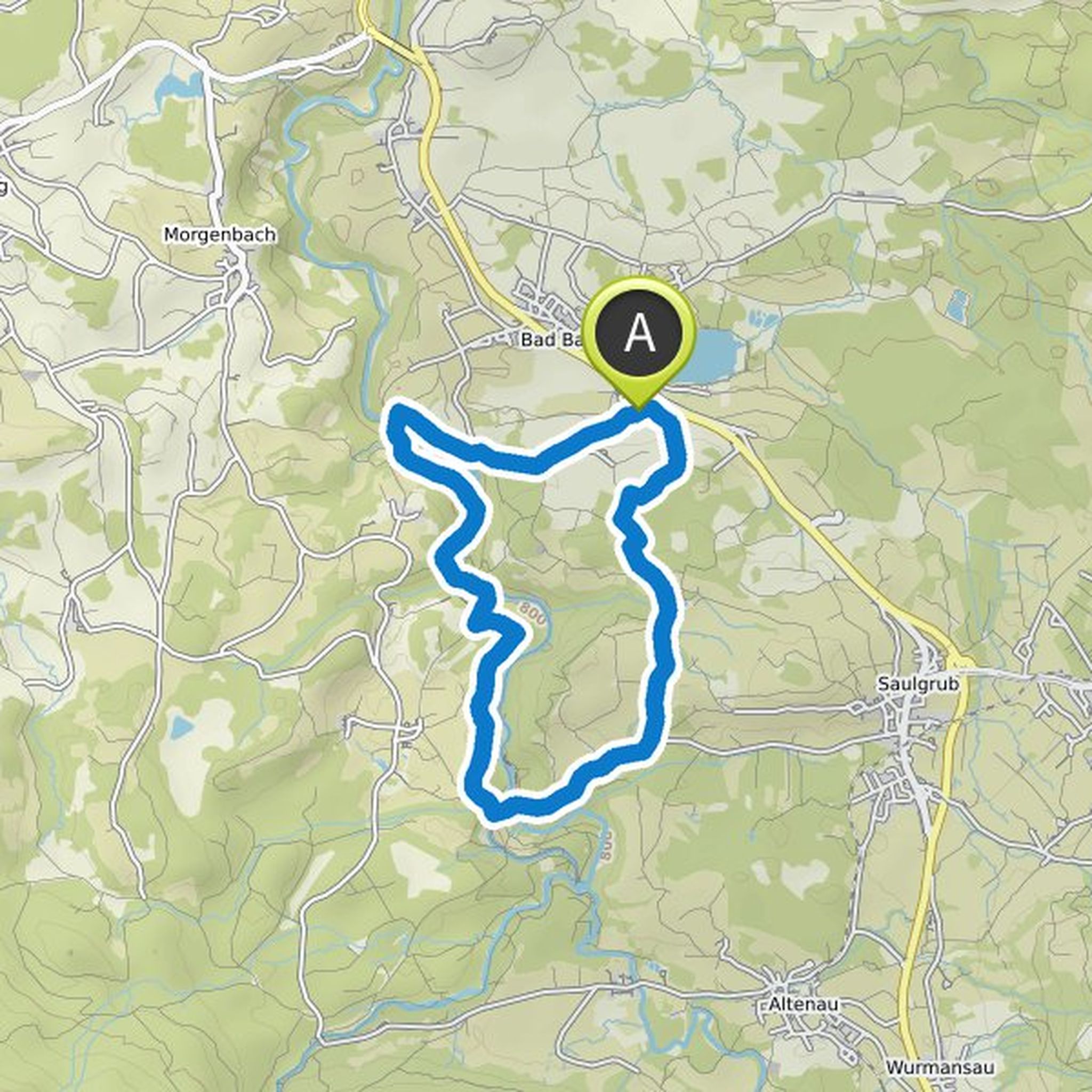
May 25, 2021
A varied hike with beautiful views. Corresponds to the official "orange" circular route, but I have reversed the direction so that instead of an ascent you have the beautiful forest path at the end. There are plenty of parking spaces right at the castle.
Translated by Google •
Adler36 planned a hike
February 28, 2021
Time
Distance
Speed
Ascent
Descent

May 30, 2021
Small but nice hike in the countryside. Even many locals may not know how beautiful it can be on your own doorstep.
Translated by Google •
Adler36 planned a hike
February 28, 2021
Time
Distance
Speed
Ascent
Descent

Adler36 planned a hike
February 27, 2021
Time
Distance
Speed
Ascent
Descent
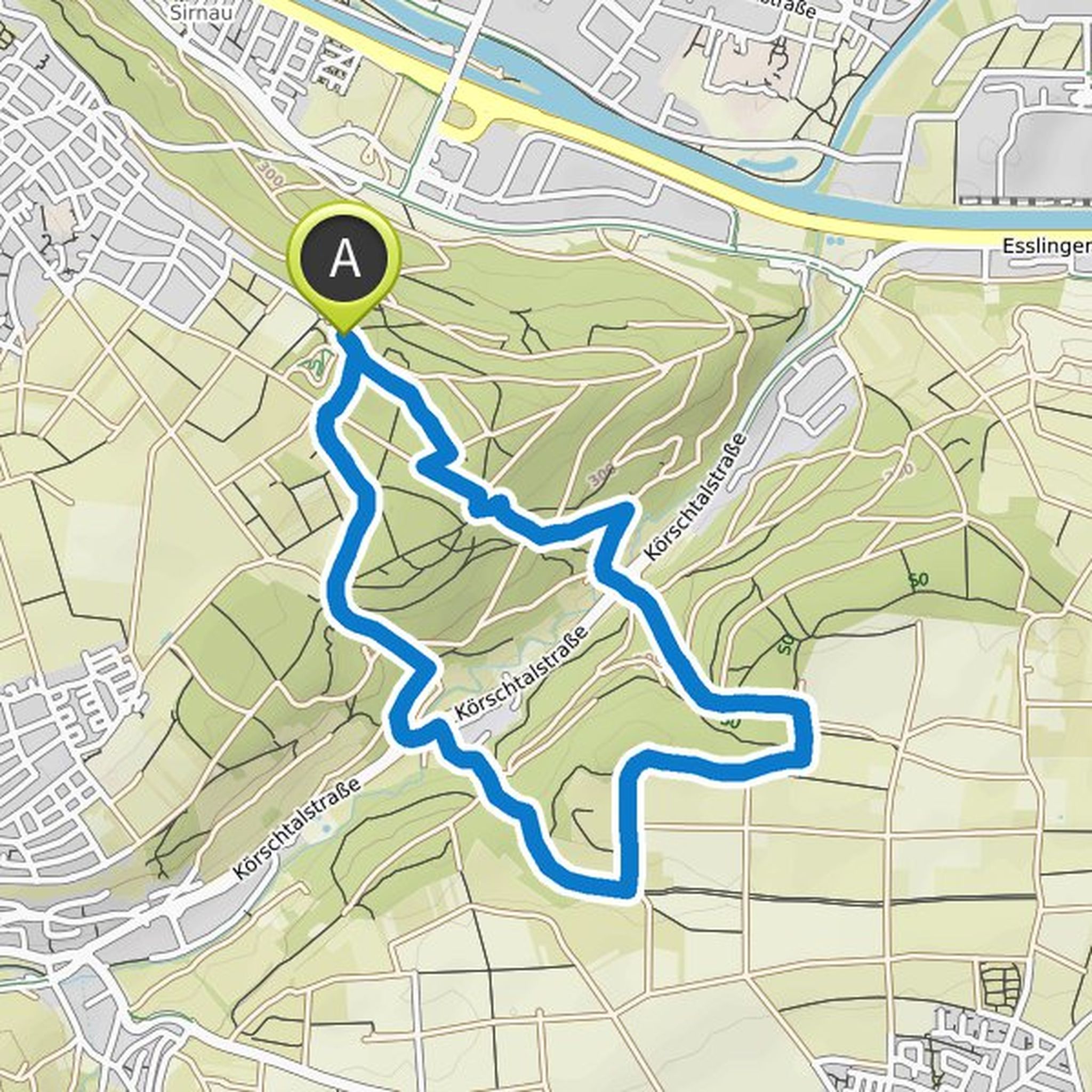
February 27, 2021
The varied fair-weather circuit leads to an area that even many people from Esslingen shouldn't know. Sometimes you feel transported back in time, sometimes almost in the mountains. Have fun!
Translated by Google •
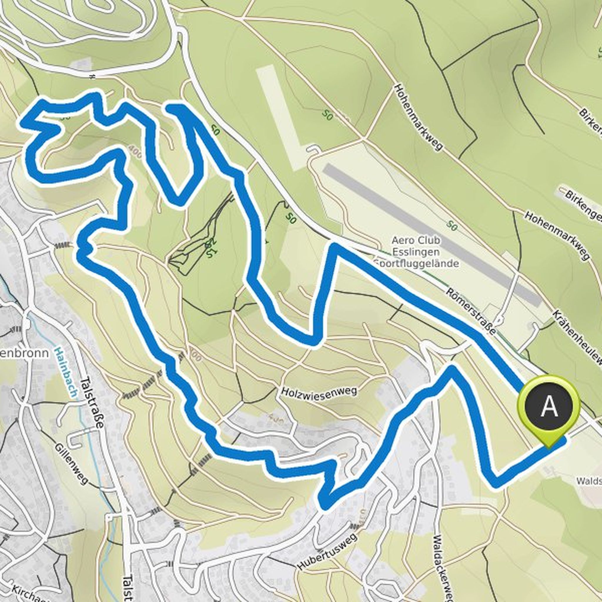
February 13, 2022
Not very demanding, but nice round. If you want a little more challenge, you can take the via ferrata past the Sonnenberg on the way back.
Translated by Google •