Timeline
Christoph Schlaepfer and Hampi59 planned a road ride
June 30, 2023
Time
Distance
Speed
Ascent
Descent
Christoph Schlaepfer planned a road ride
May 19, 2023
Time
Distance
Speed
Ascent
Descent
Christoph Schlaepfer planned a road ride
May 19, 2023
Time
Distance
Speed
Ascent
Descent
Christoph Schlaepfer planned a road ride
May 19, 2023
Time
Distance
Speed
Ascent
Descent
Christoph Schlaepfer planned a road ride
May 19, 2023
Time
Distance
Speed
Ascent
Descent
Christoph Schlaepfer planned a road ride
May 19, 2023
Time
Distance
Speed
Ascent
Descent
Christoph Schlaepfer planned a road ride
May 19, 2023
Time
Distance
Speed
Ascent
Descent
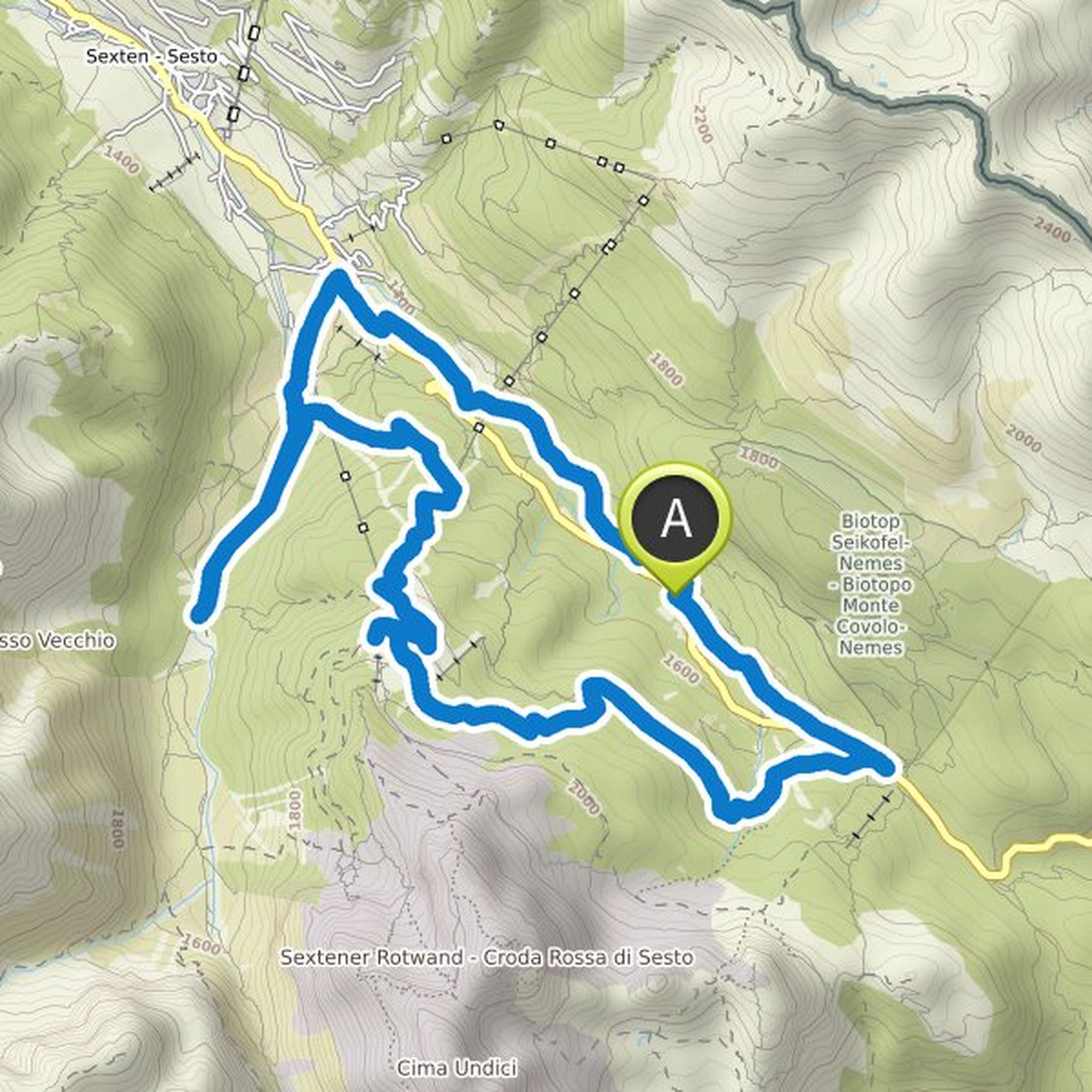
Christoph Schlaepfer planned a mountain bike ride
September 2, 2022
Time
Distance
Speed
Ascent
Descent
Christoph Schlaepfer planned a mountain bike ride
September 2, 2022
Time
Distance
Speed
Ascent
Descent
Christoph Schlaepfer planned a mountain bike ride
September 2, 2022
Time
Distance
Speed
Ascent
Descent
Christoph Schlaepfer planned a mountain bike ride
September 2, 2022
Time
Distance
Speed
Ascent
Descent
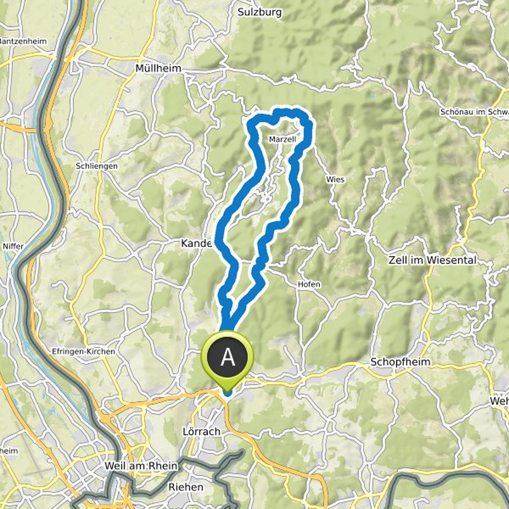
Christoph Schlaepfer planned a road ride
August 12, 2022
Time
Distance
Speed
Ascent
Descent
Christoph Schlaepfer planned a mountain bike ride
July 29, 2021
Time
Distance
Speed
Ascent
Descent
Christoph Schlaepfer planned a mountain bike ride
June 30, 2019
Time
Distance
Speed
Ascent
Descent