Timeline
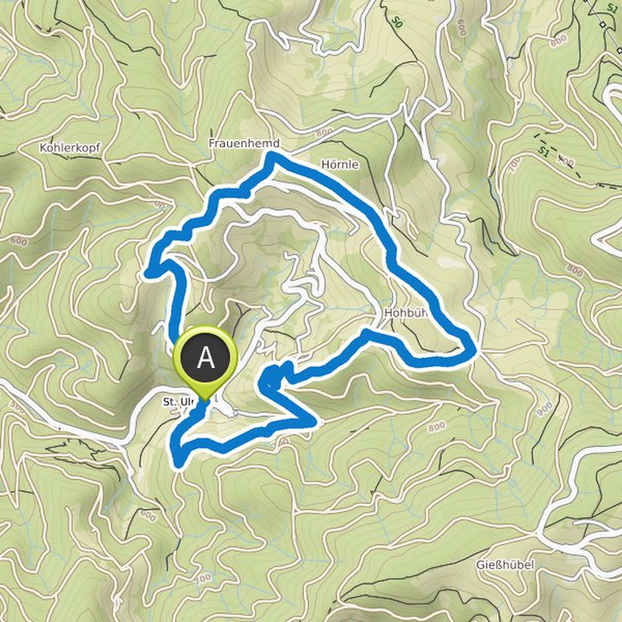
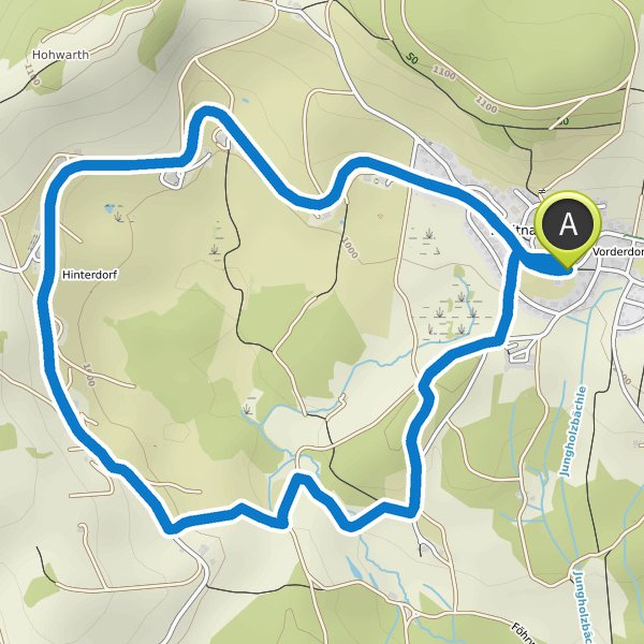
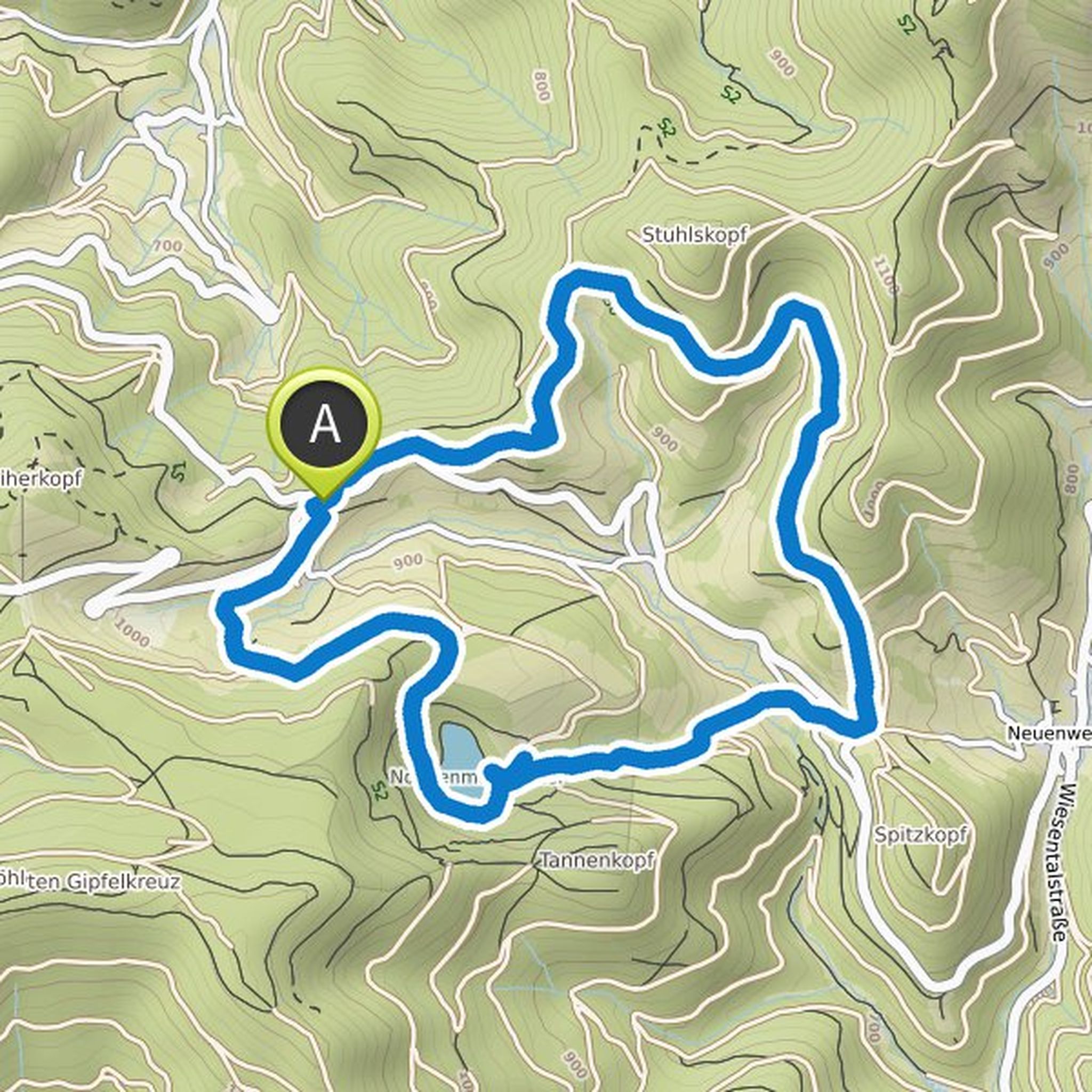
Günter Steiert planned a hike
June 21, 2025
Time
Distance
Speed
Ascent
Descent
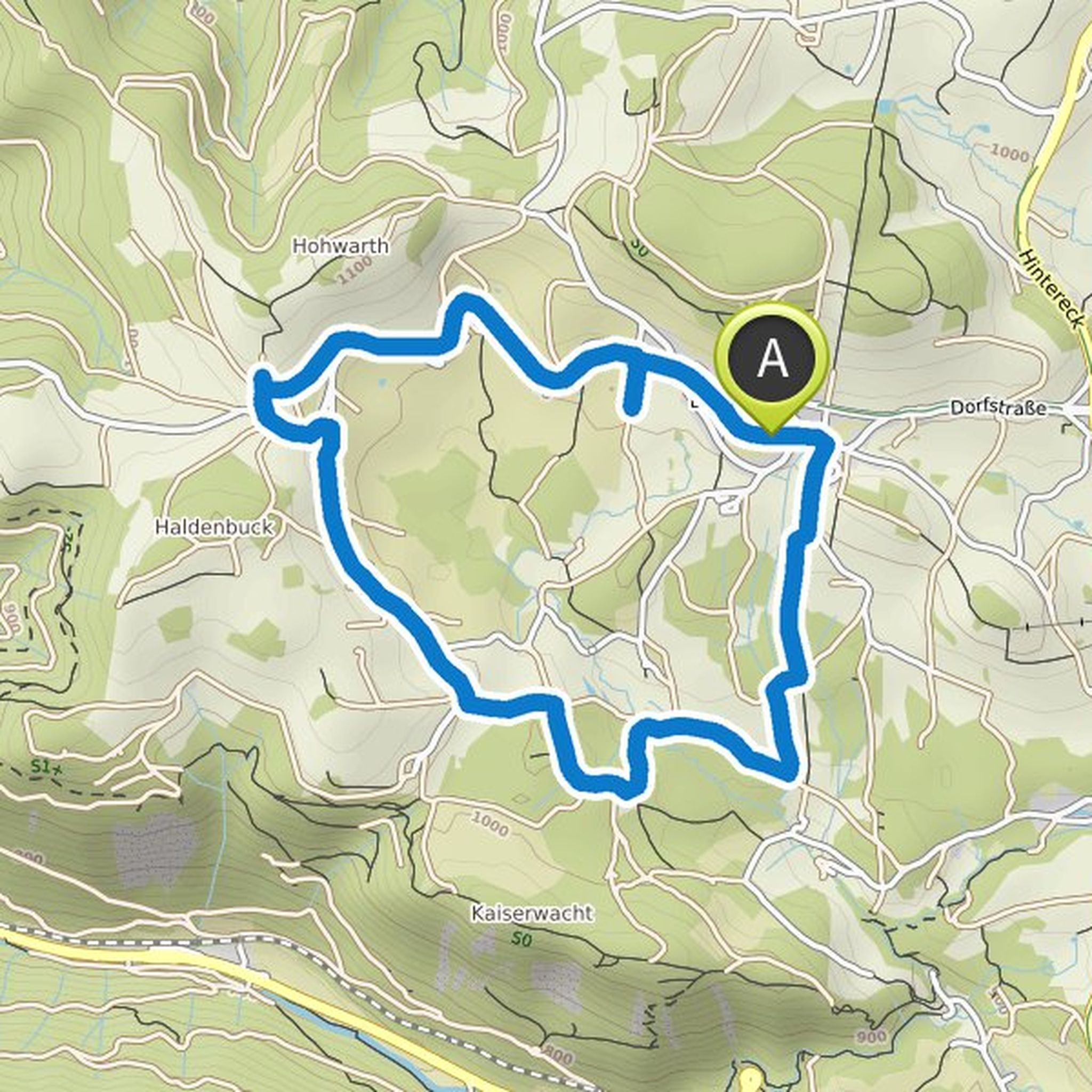
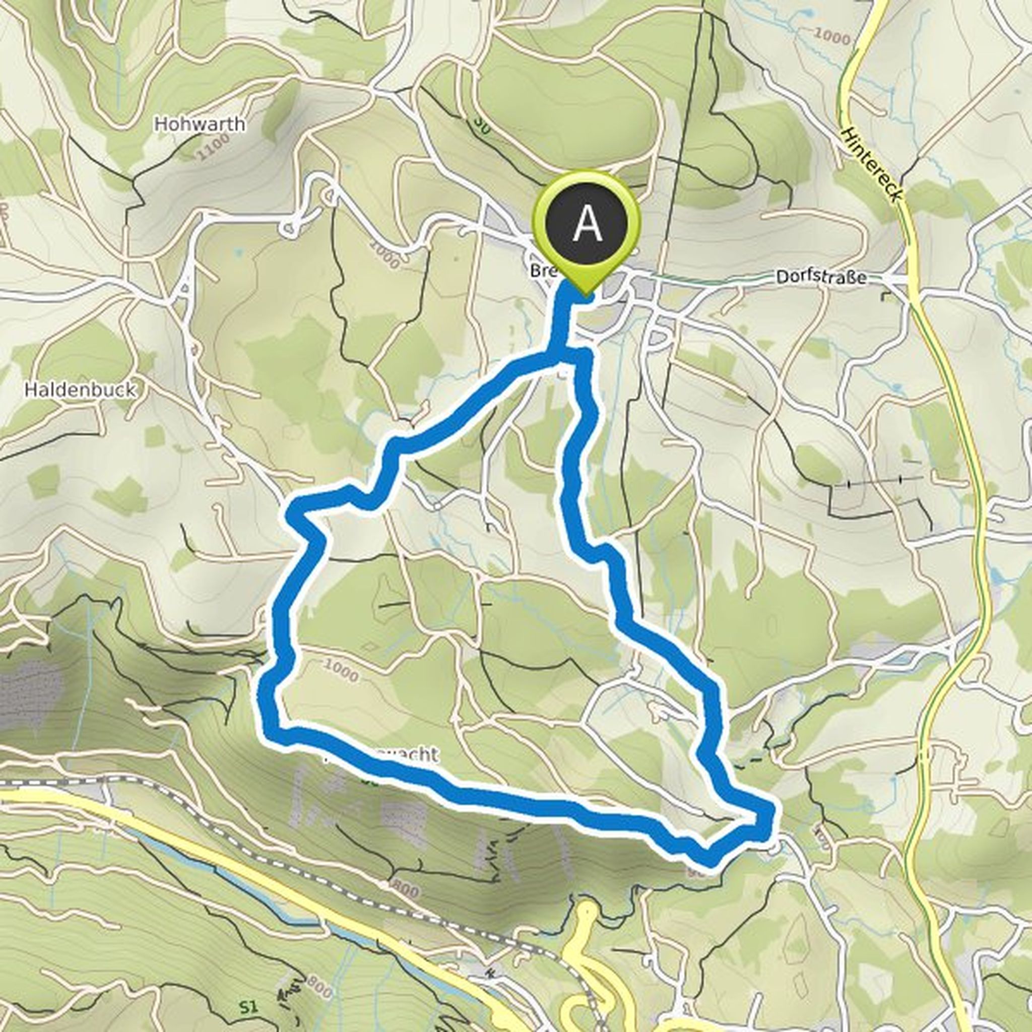
Günter Steiert planned a hike
February 6, 2023
Time
Distance
Speed
Ascent
Descent
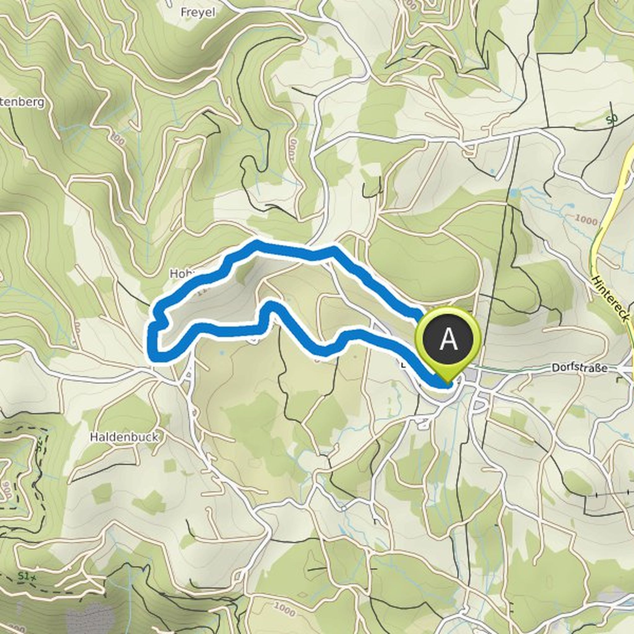
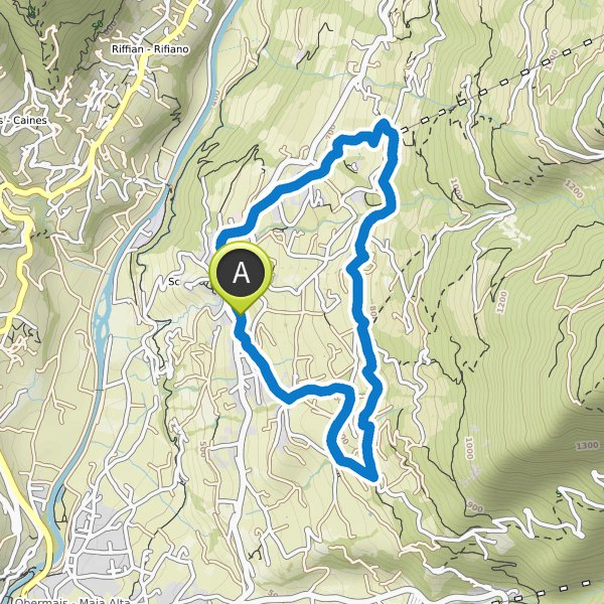
Günter Steiert planned a hike
February 6, 2023
Time
Distance
Speed
Ascent
Descent
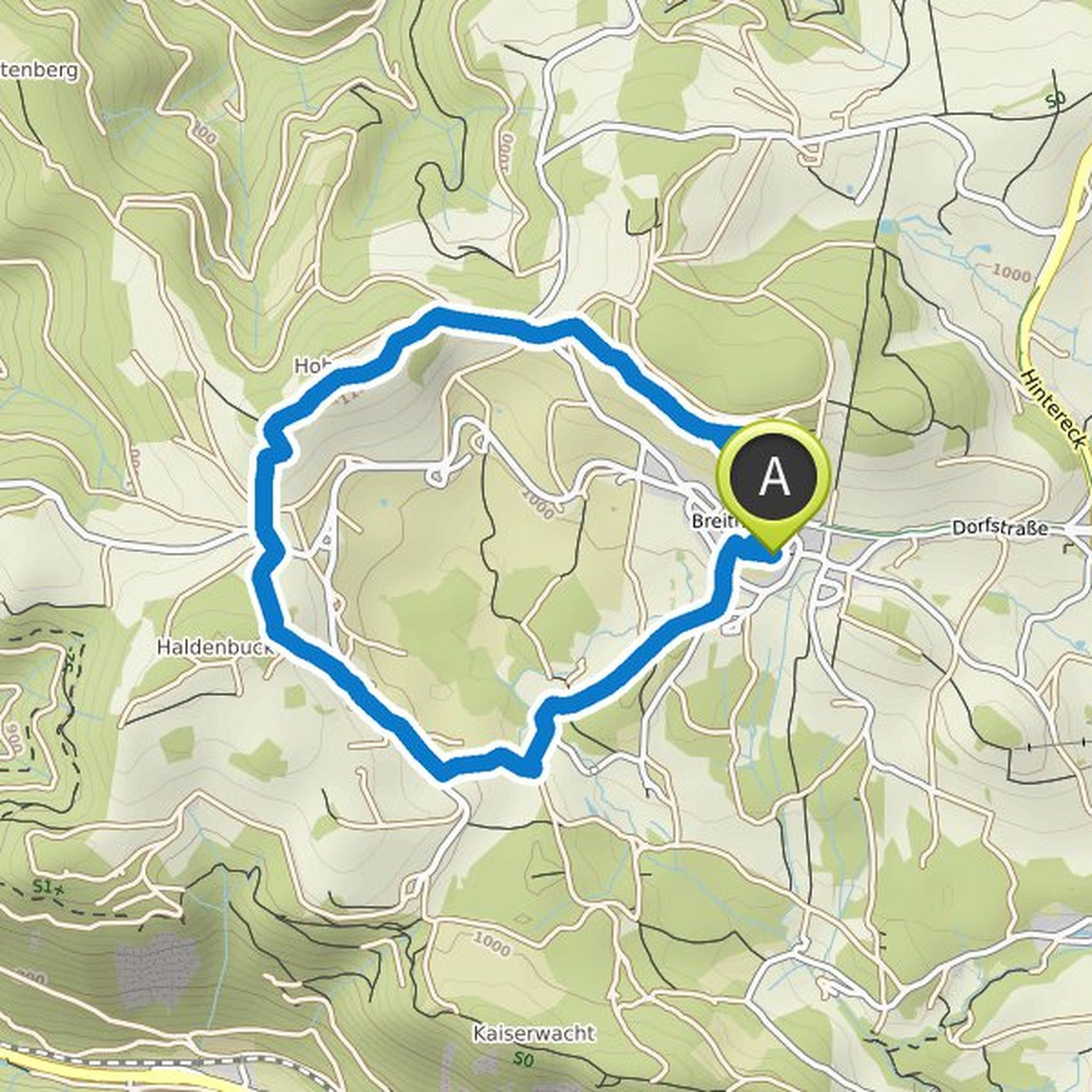
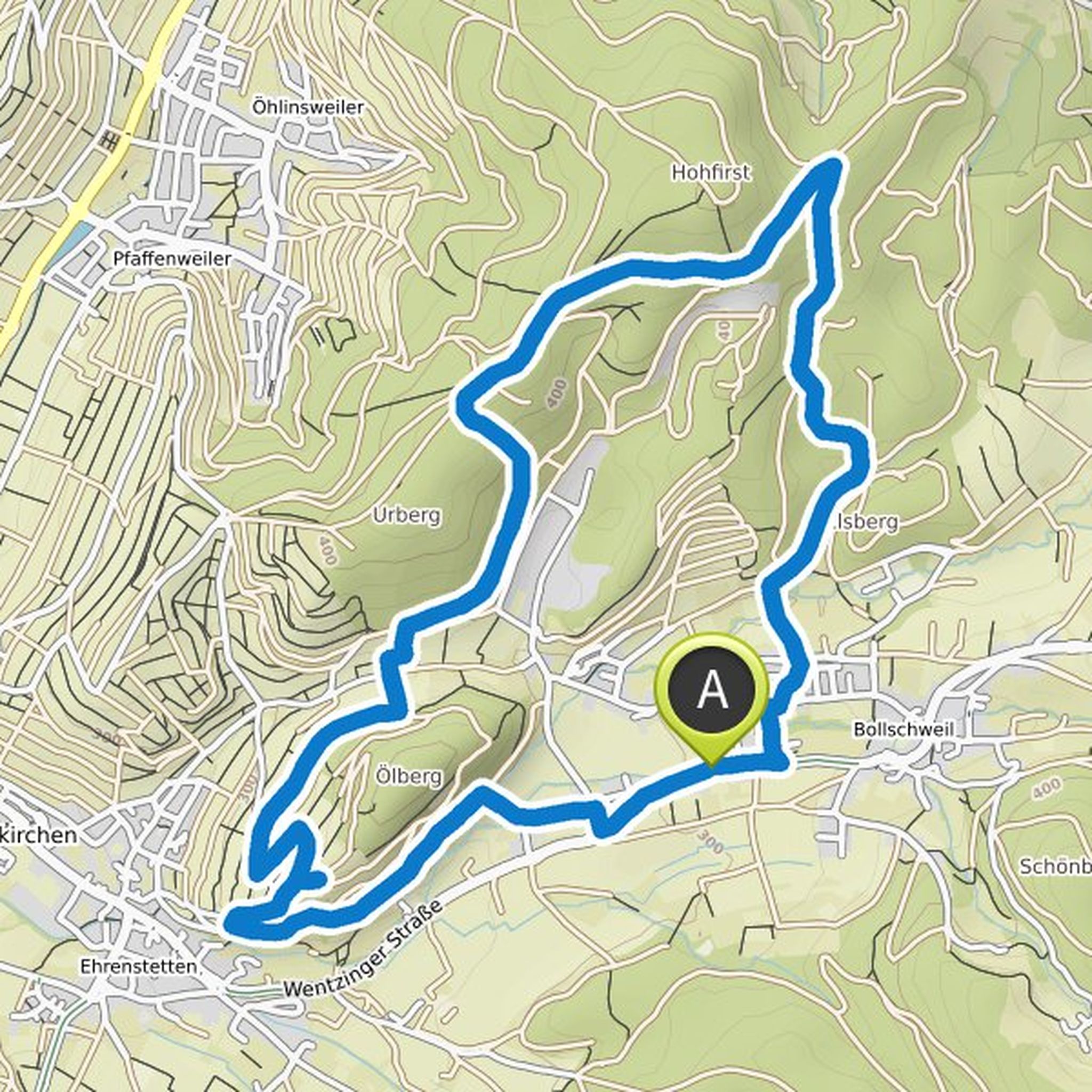
Günter Steiert planned a hike
September 17, 2022
Time
Distance
Speed
Ascent
Descent
Günter Steiert planned a hike
June 24, 2022
Time
Distance
Speed
Ascent
Descent
Günter Steiert planned an e-bike ride
May 5, 2022
Time
Distance
Speed
Ascent
Descent
Günter Steiert planned a hike
January 20, 2022
Time
Distance
Speed
Ascent
Descent
Günter Steiert planned a hike
January 20, 2022
Time
Distance
Speed
Ascent
Descent
Günter Steiert planned a hike
January 20, 2022
Time
Distance
Speed
Ascent
Descent
Günter Steiert planned a hike
January 20, 2022
Time
Distance
Speed
Ascent
Descent
Günter Steiert planned a hike
January 1, 2022
Time
Distance
Speed
Ascent
Descent
Günter Steiert planned a hike
October 31, 2021
Time
Distance
Speed
Ascent
Descent
Günter Steiert planned a hike
September 1, 2021
Time
Distance
Speed
Ascent
Descent
Günter Steiert planned a hike
September 1, 2021
Time
Distance
Speed
Ascent
Descent
Günter Steiert planned a hike
September 1, 2021
Time
Distance
Speed
Ascent
Descent