Timeline
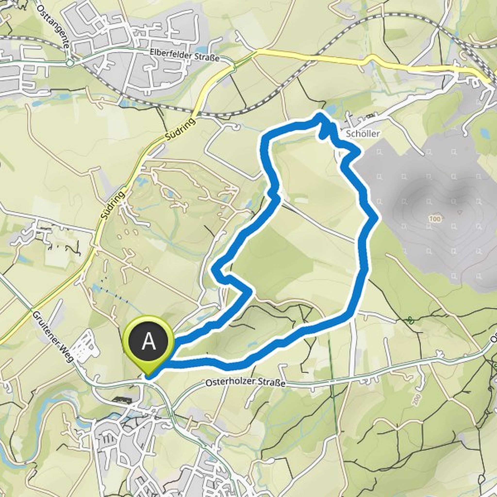
Slowhand planned a mountain bike ride
October 25, 2022
Time
Distance
Speed
Ascent
Descent
Slowhand planned a mountain bike ride
October 25, 2022
Time
Distance
Speed
Ascent
Descent
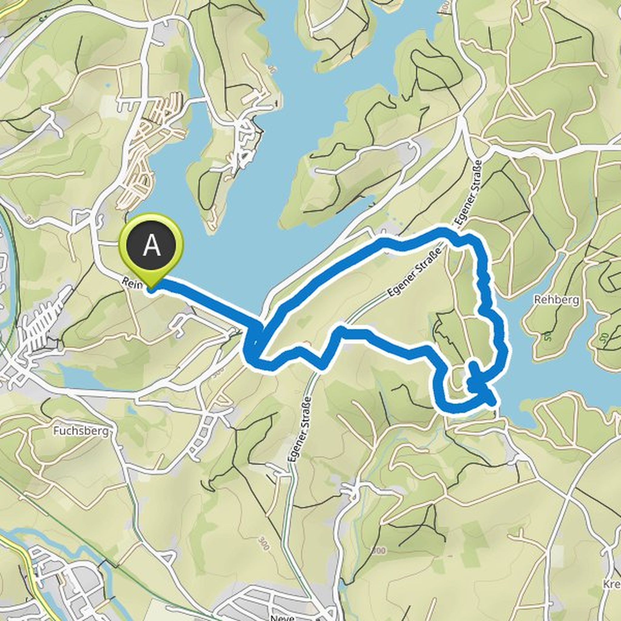
Slowhand planned a bike ride
October 17, 2022
Time
Distance
Speed
Ascent
Descent
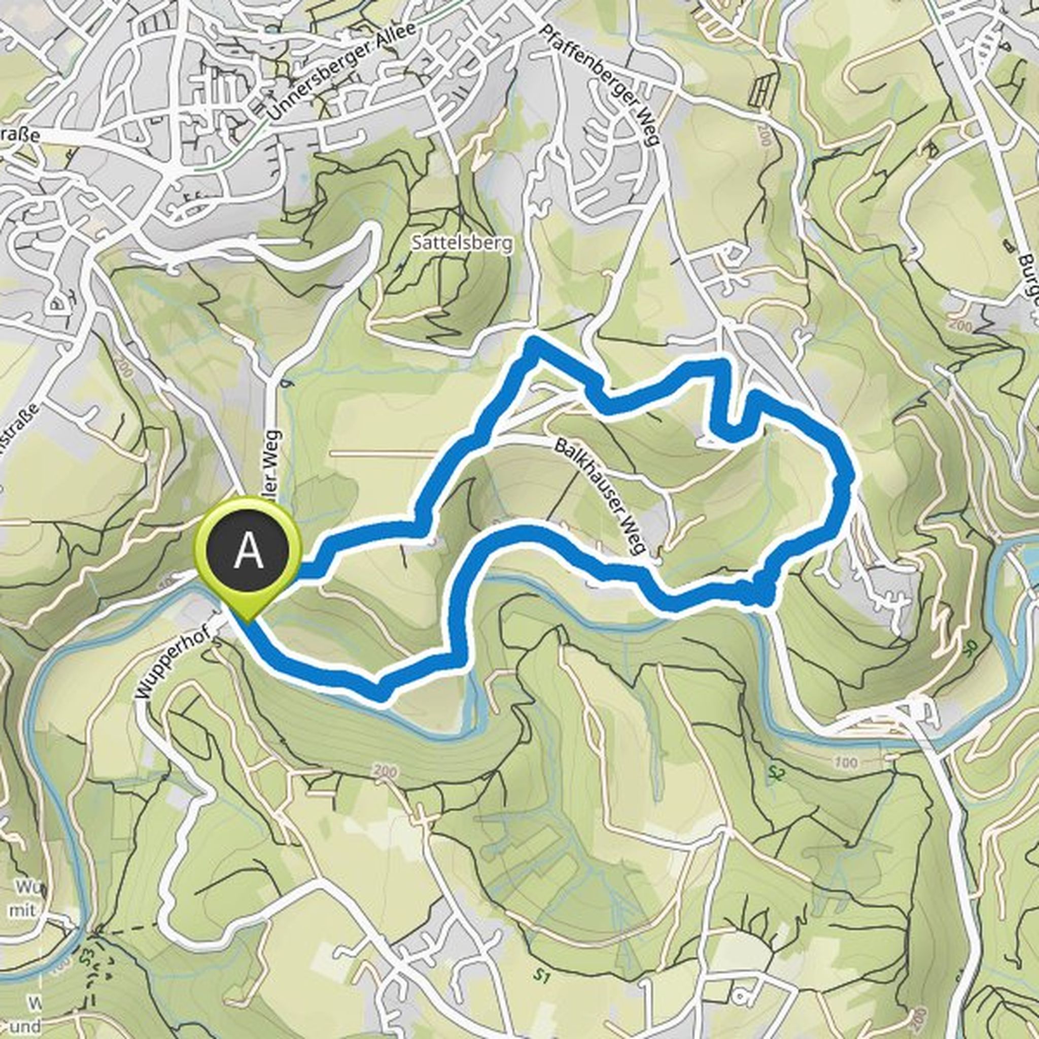
Slowhand planned a hike
October 15, 2022
Time
Distance
Speed
Ascent
Descent
Slowhand planned a hike
May 28, 2022
Time
Distance
Speed
Ascent
Descent
Slowhand planned a hike
April 12, 2022
Time
Distance
Speed
Ascent
Descent
Slowhand planned a hike
April 10, 2022
Time
Distance
Speed
Ascent
Descent
Slowhand planned a hike
April 10, 2022
Time
Distance
Speed
Ascent
Descent
Slowhand planned a hike
March 12, 2022
Time
Distance
Speed
Ascent
Descent
Slowhand planned a hike
March 6, 2022
Time
Distance
Speed
Ascent
Descent
Slowhand planned a hike
March 6, 2022
Time
Distance
Speed
Ascent
Descent
Slowhand planned a hike
February 27, 2022
Time
Distance
Speed
Ascent
Descent
Slowhand planned a hike
February 26, 2022
Time
Distance
Speed
Ascent
Descent
Slowhand planned a hike
February 26, 2022
Time
Distance
Speed
Ascent
Descent
Slowhand planned a hike
February 26, 2022
Time
Distance
Speed
Ascent
Descent