Timeline
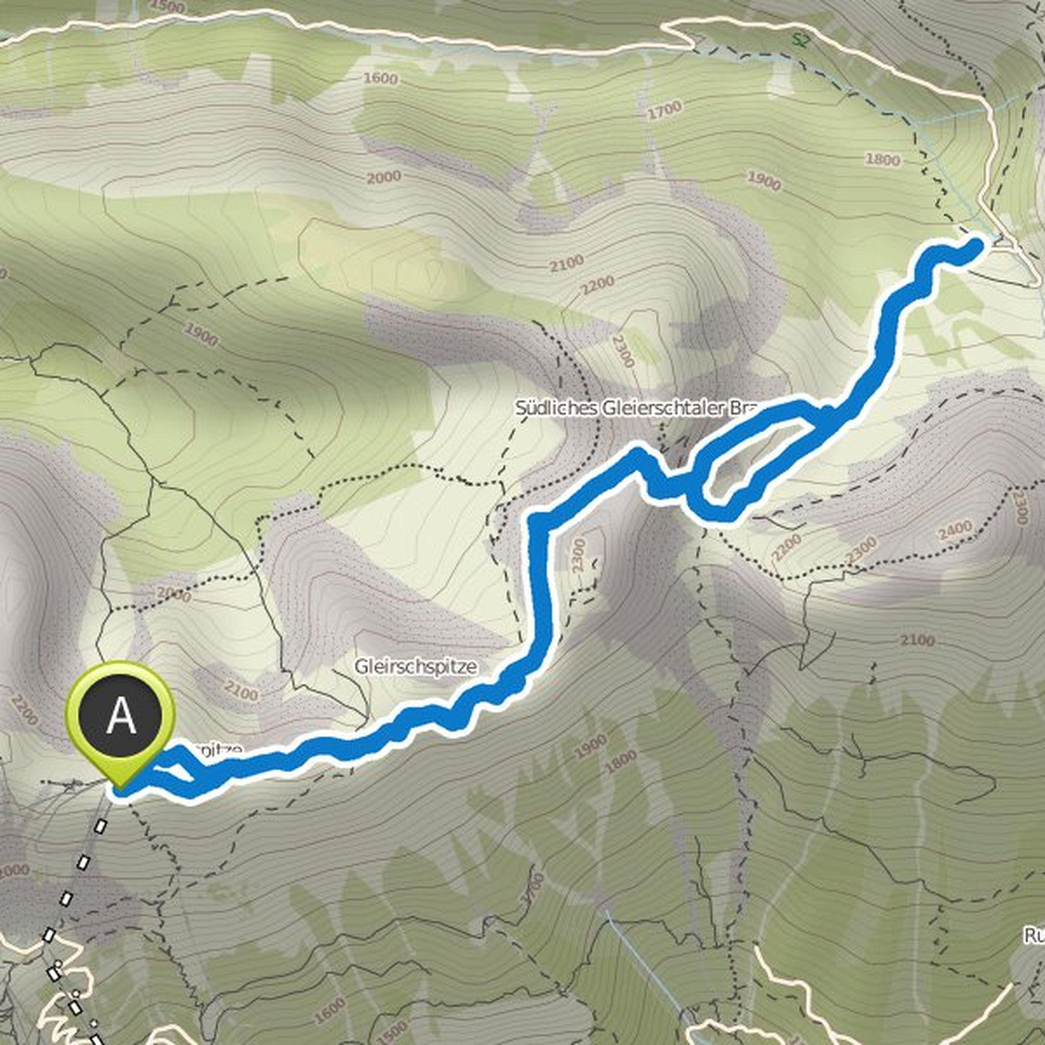
Christiane and kmaywald planned a hike
August 27, 2020
Time
4h22m
Distance
10.7km
Speed
2.5km/h
Ascent
530m
Descent
530m
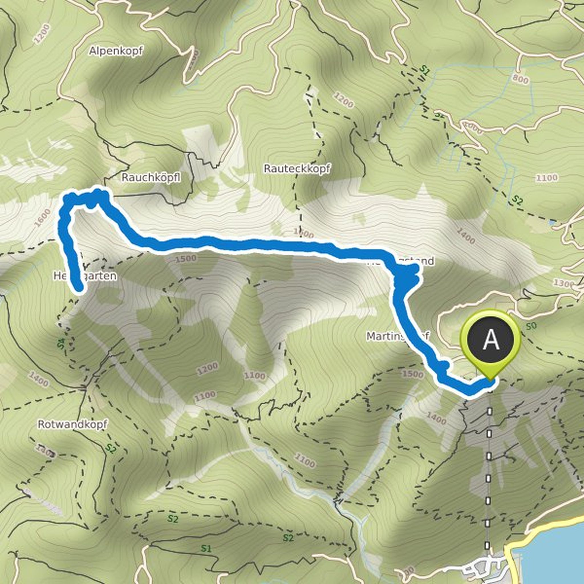
Map data © OpenStreetMap contributors
Bernd Rosemeyer and kmaywald planned a hike
August 25, 2020
Time
3h48m
Distance
12.6km
Speed
3.3km/h
Ascent
390m
Descent
390m
Map data © OpenStreetMap contributors
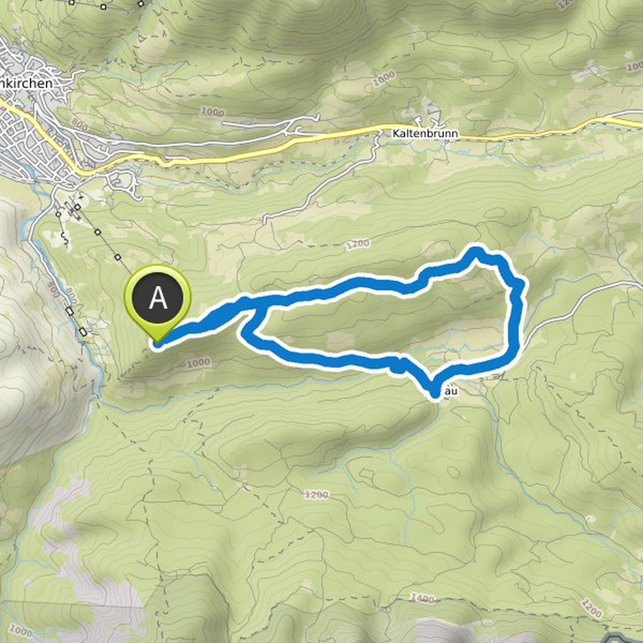
kmaywald planned a hike
August 21, 2019
Time
3h32m
Distance
9.99km
Speed
2.8km/h
Ascent
490m
Descent
490m
Map data © OpenStreetMap contributors
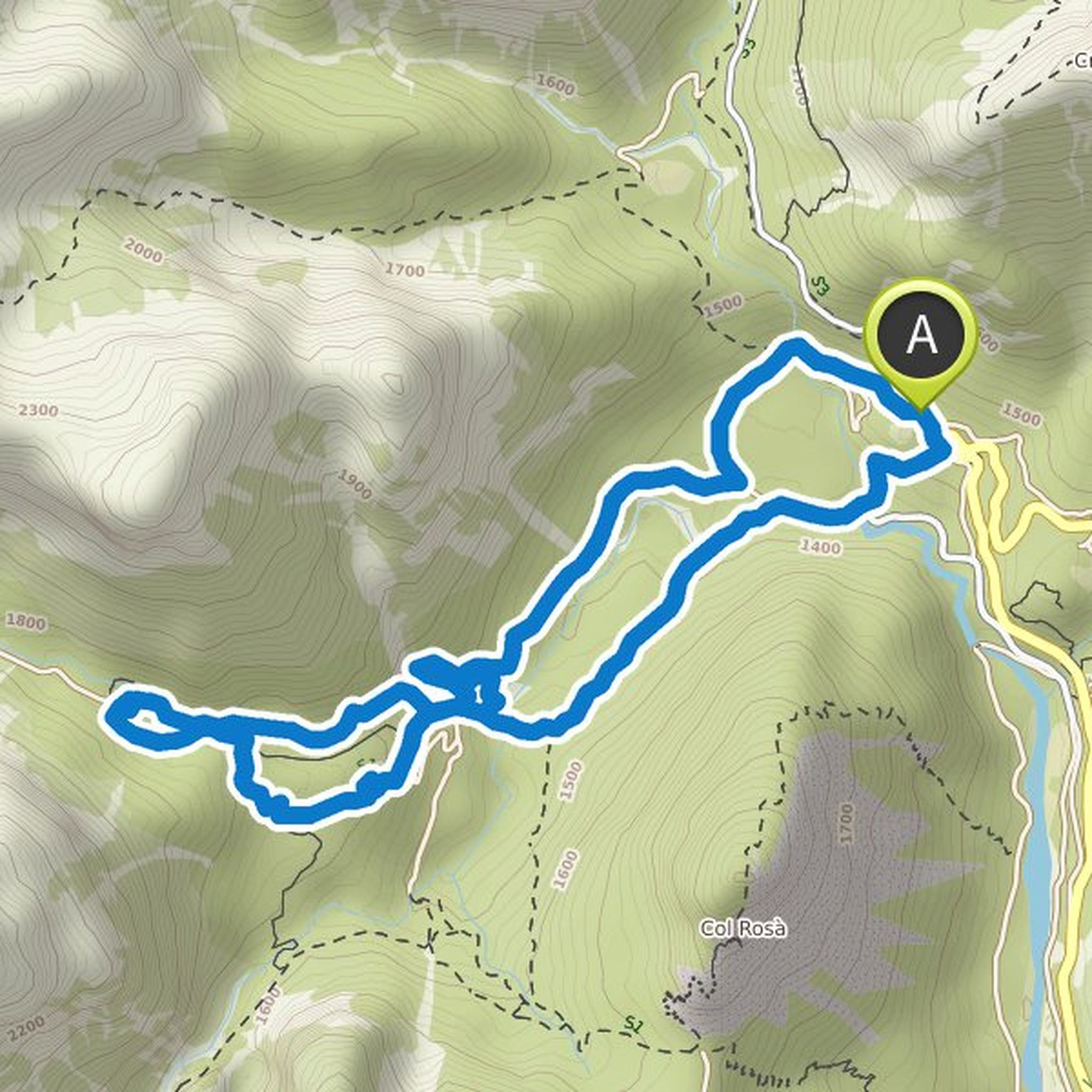
Time
2h42m
Distance
7.28km
Speed
2.7km/h
Ascent
410m
Descent
410m

Map data © OpenStreetMap contributors
Christiane and kmaywald planned a hike
August 17, 2019
Time
3h04m
Distance
9.13km
Speed
3.0km/h
Ascent
340m
Descent
340m
Map data © OpenStreetMap contributors
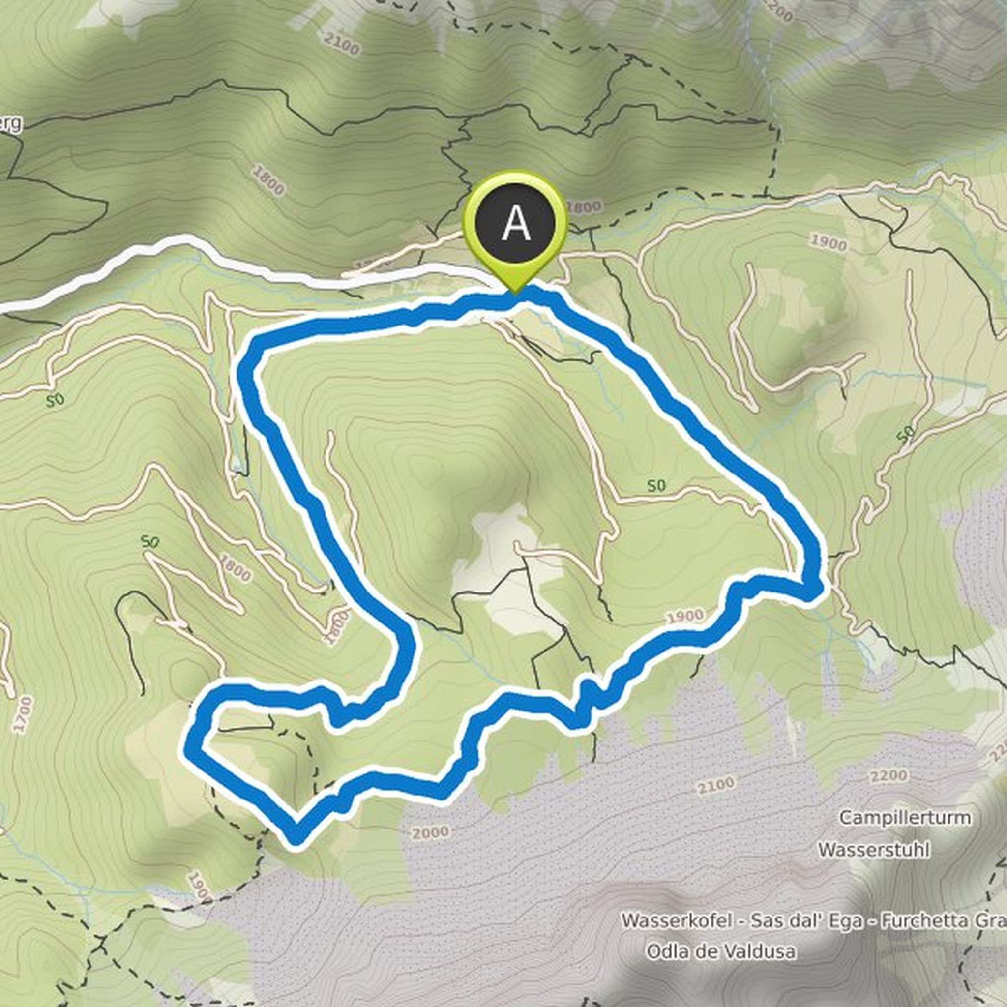
Time
5h40m
Distance
19.3km
Speed
3.4km/h
Ascent
530m
Descent
530m

Map data © OpenStreetMap contributors
Gabby#1 and others planned a hike
July 25, 2018
Time
2h32m
Distance
6.44km
Speed
2.5km/h
Ascent
330m
Descent
330m

Map data © OpenStreetMap contributors
Time
2h44m
Distance
6.27km
Speed
2.3km/h
Ascent
450m
Descent
450m

Map data © OpenStreetMap contributors
Christiane and kmaywald planned a hike
July 24, 2018
Time
4h30m
Distance
11.0km
Speed
2.4km/h
Ascent
520m
Descent
530m
Map data © OpenStreetMap contributors