Timeline
Tanja Wieland planned a hike
October 15, 2022
Time
3h06m
Distance
11.0km
Speed
3.5km/h
Ascent
240m
Descent
240m
Map data © OpenStreetMap contributors
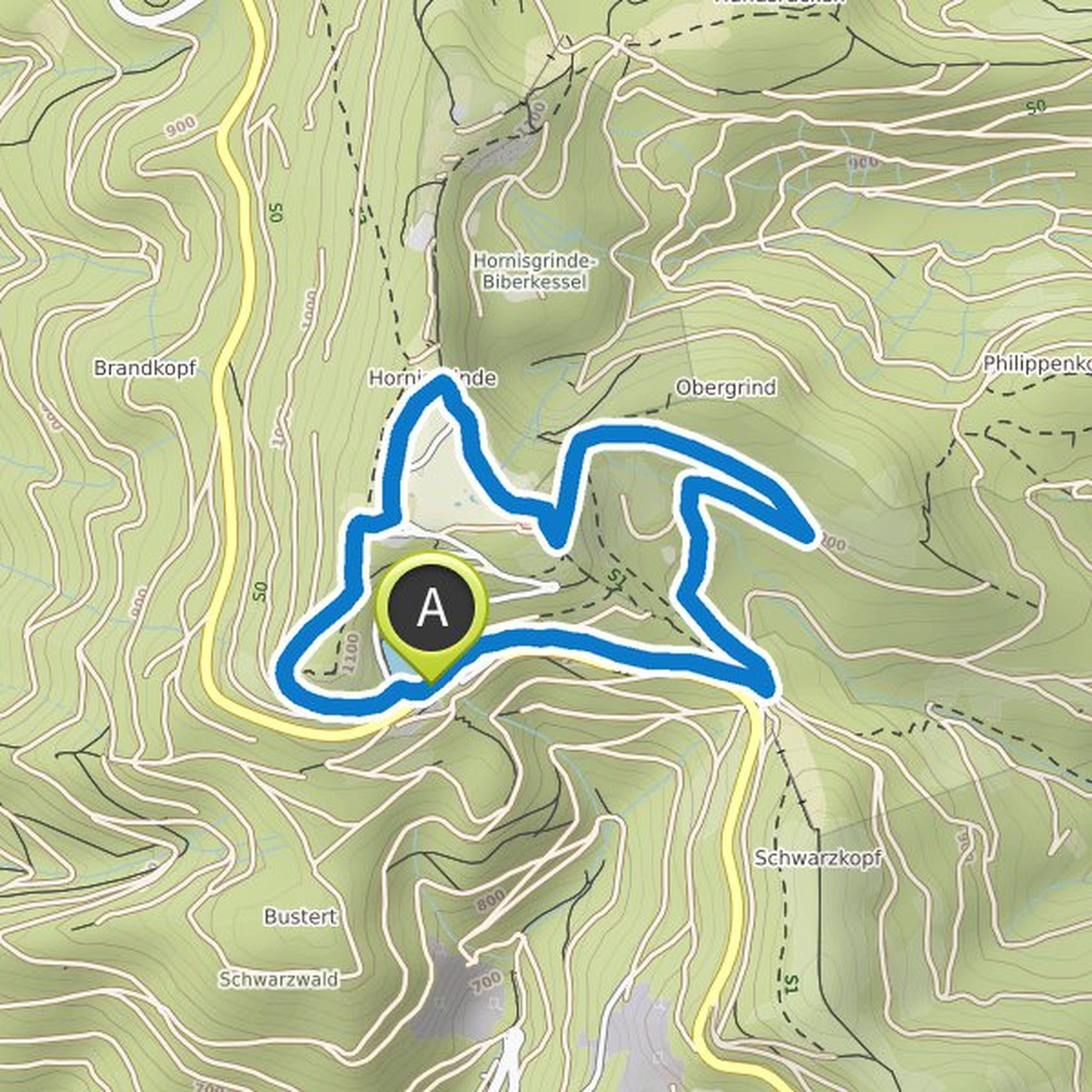
Tanja Wieland planned a hike
August 11, 2021
Time
3h04m
Distance
9.93km
Speed
3.2km/h
Ascent
360m
Descent
380m
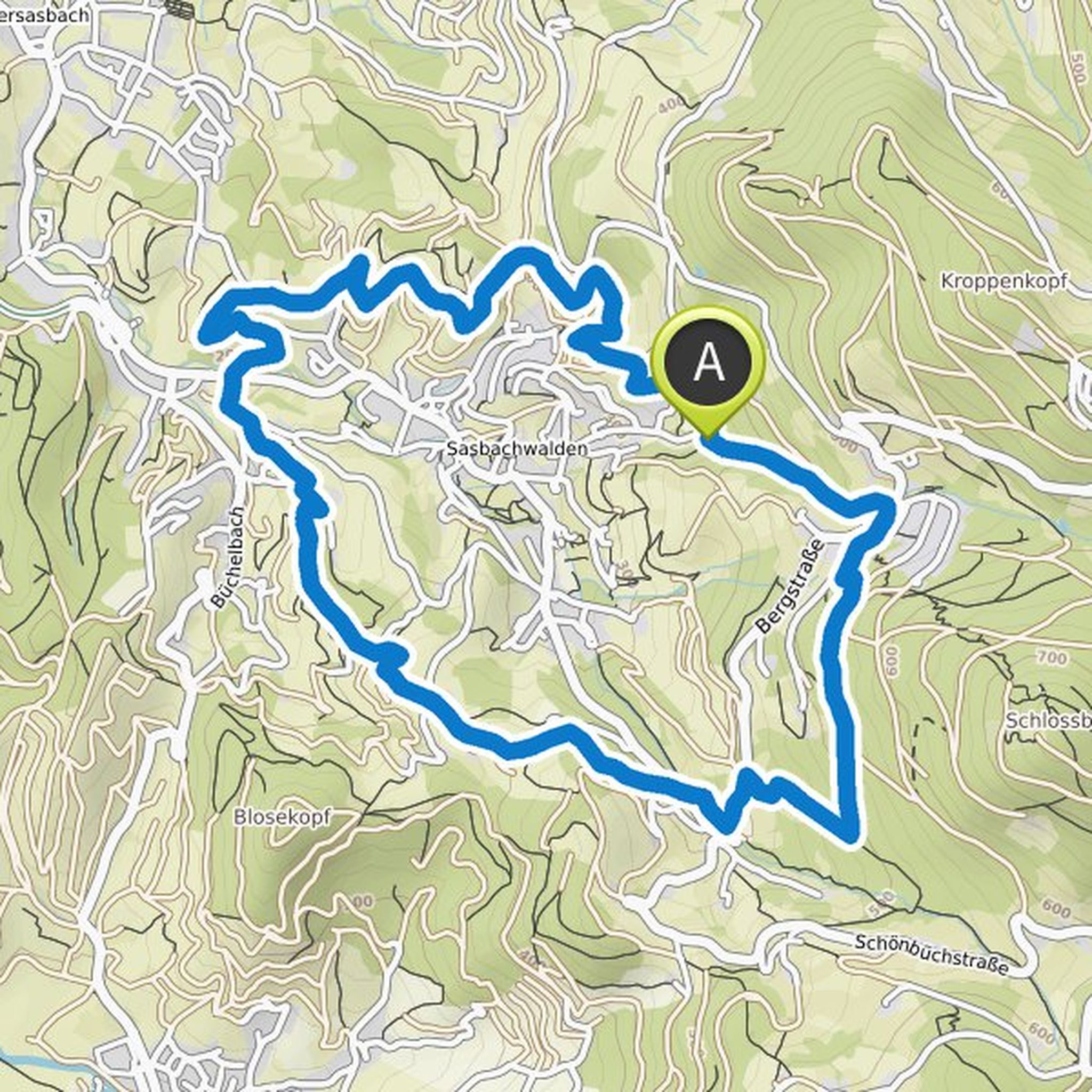
Map data © OpenStreetMap contributors
Tanja Wieland planned a hike
August 11, 2021
Time
5h01m
Distance
15.6km
Speed
3.1km/h
Ascent
670m
Descent
680m
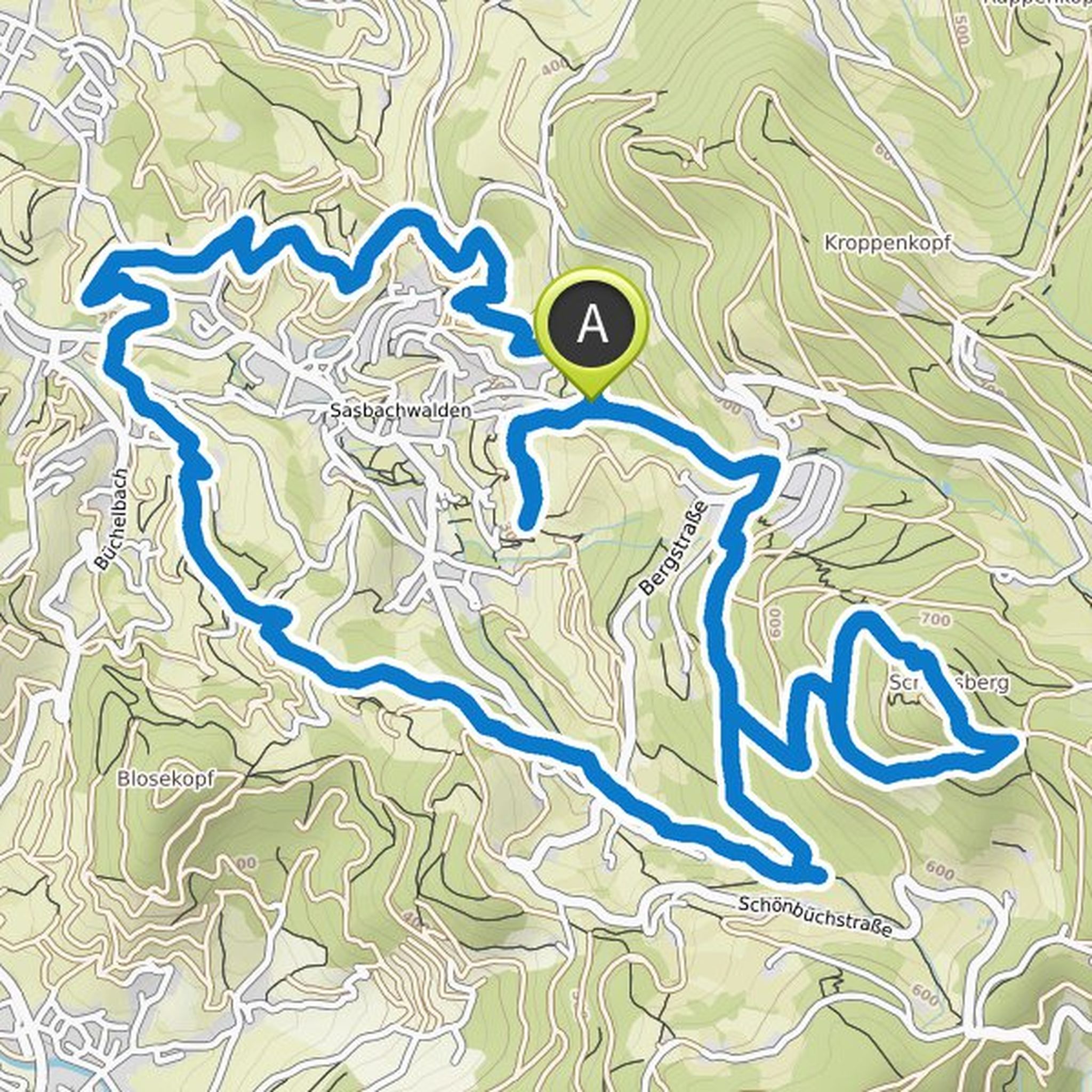
Map data © OpenStreetMap contributors
Tanja Wieland planned a hike
June 1, 2021
Time
2h16m
Distance
6.97km
Speed
3.1km/h
Ascent
320m
Descent
320m
Map data © OpenStreetMap contributors
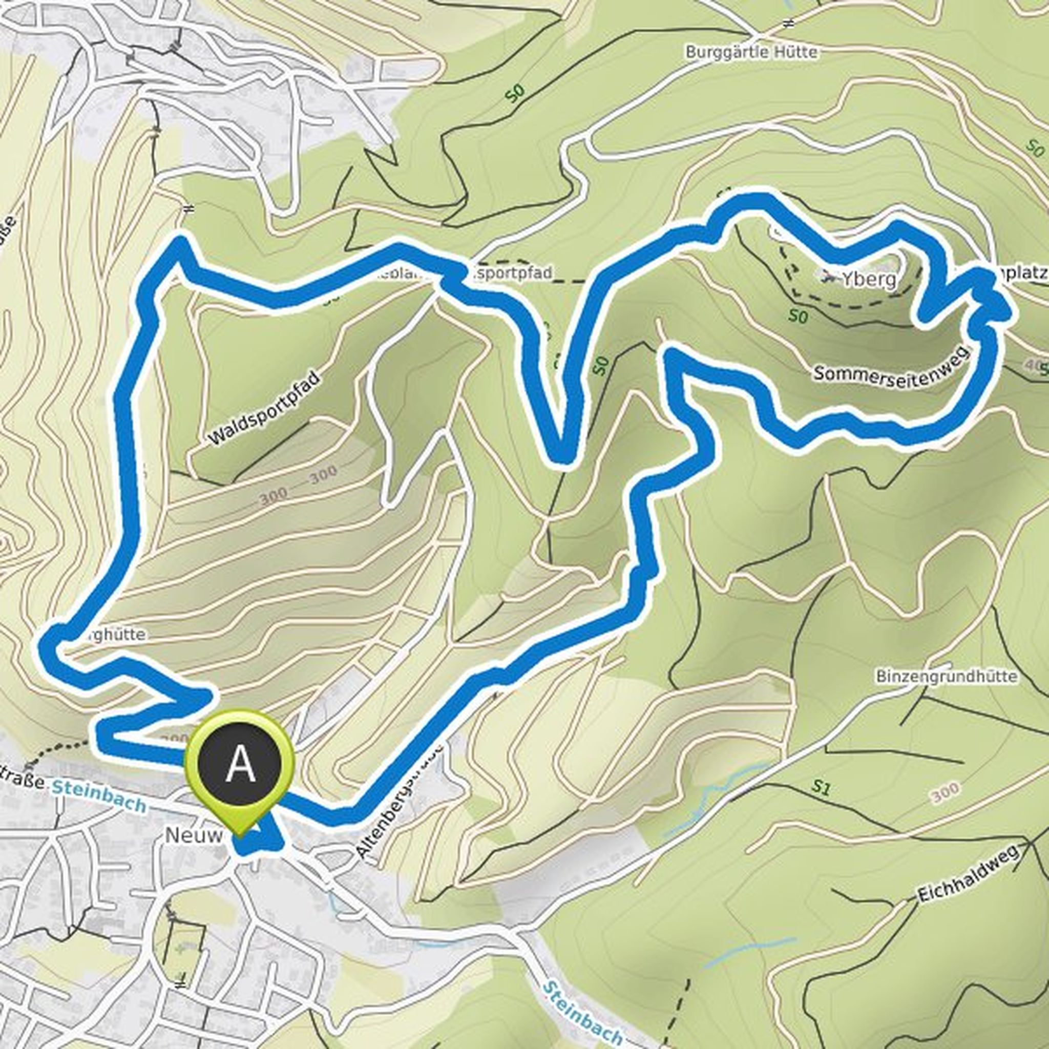
Tanja Wieland planned a hike
June 1, 2021
Time
1h57m
Distance
5.90km
Speed
3.0km/h
Ascent
290m
Descent
290m

Map data © OpenStreetMap contributors
Tanja Wieland planned a hike
June 1, 2021
Time
1h57m
Distance
5.90km
Speed
3.0km/h
Ascent
290m
Descent
290m
Map data © OpenStreetMap contributors
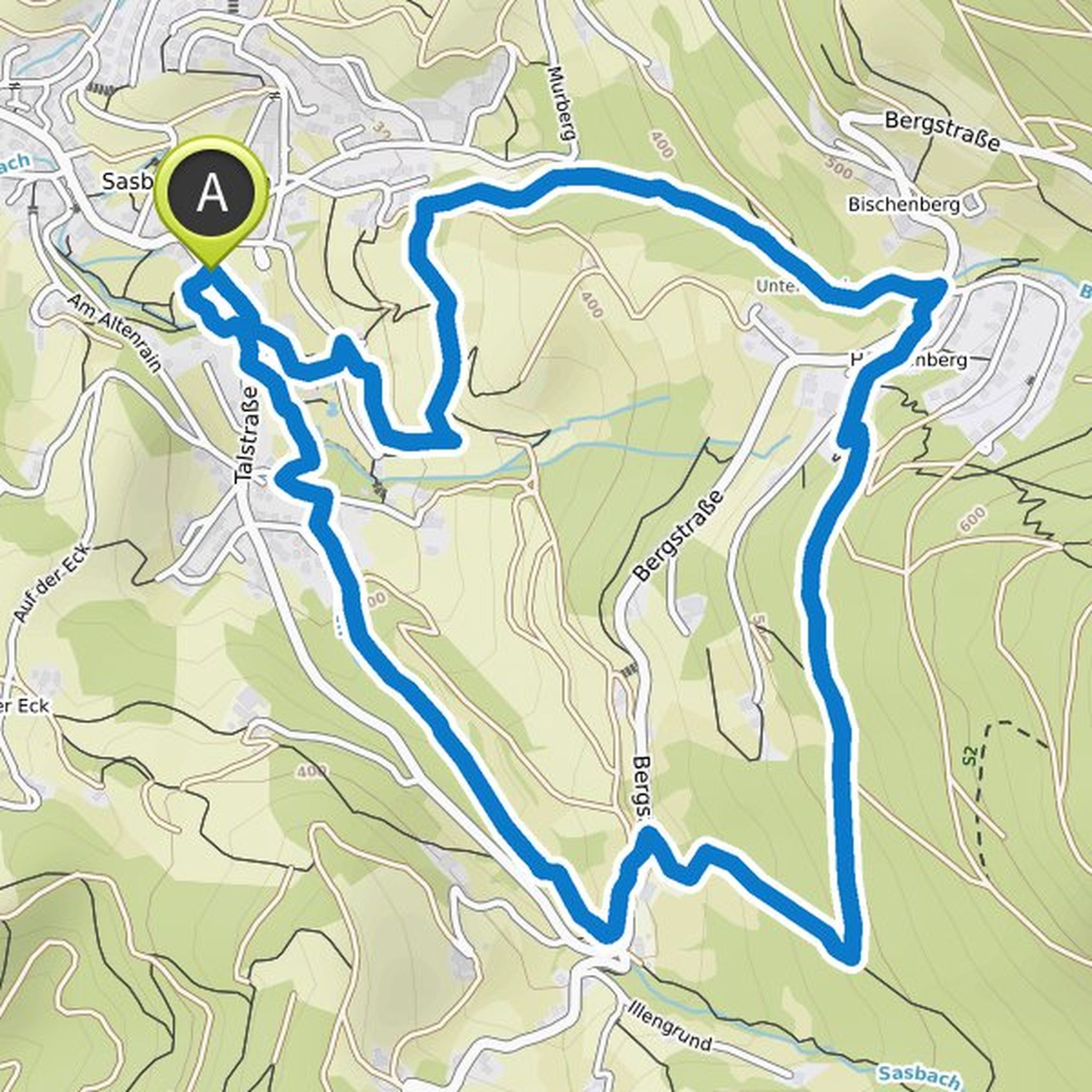
Tanja Wieland planned a hike
June 1, 2021
Time
2h08m
Distance
6.73km
Speed
3.1km/h
Ascent
200m
Descent
210m
Map data © OpenStreetMap contributors
Tanja Wieland planned a bike ride
April 25, 2021
Time
4h34m
Distance
58.0km
Speed
12.7km/h
Ascent
760m
Descent
760m
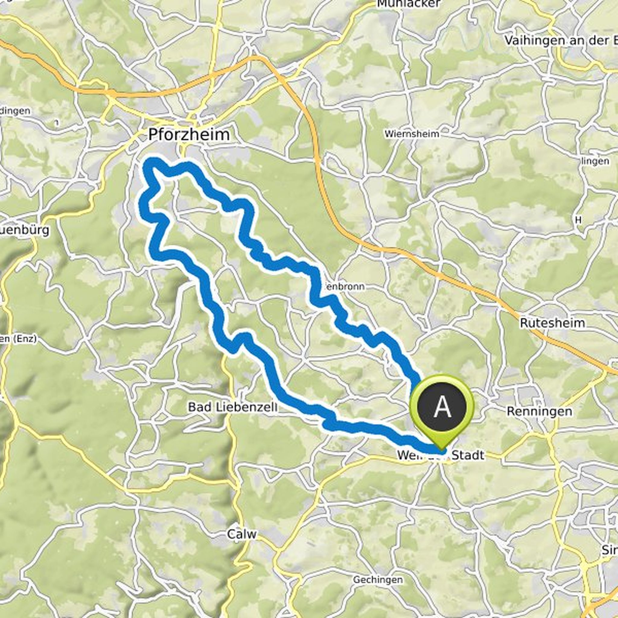
Map data © OpenStreetMap contributors