Timeline
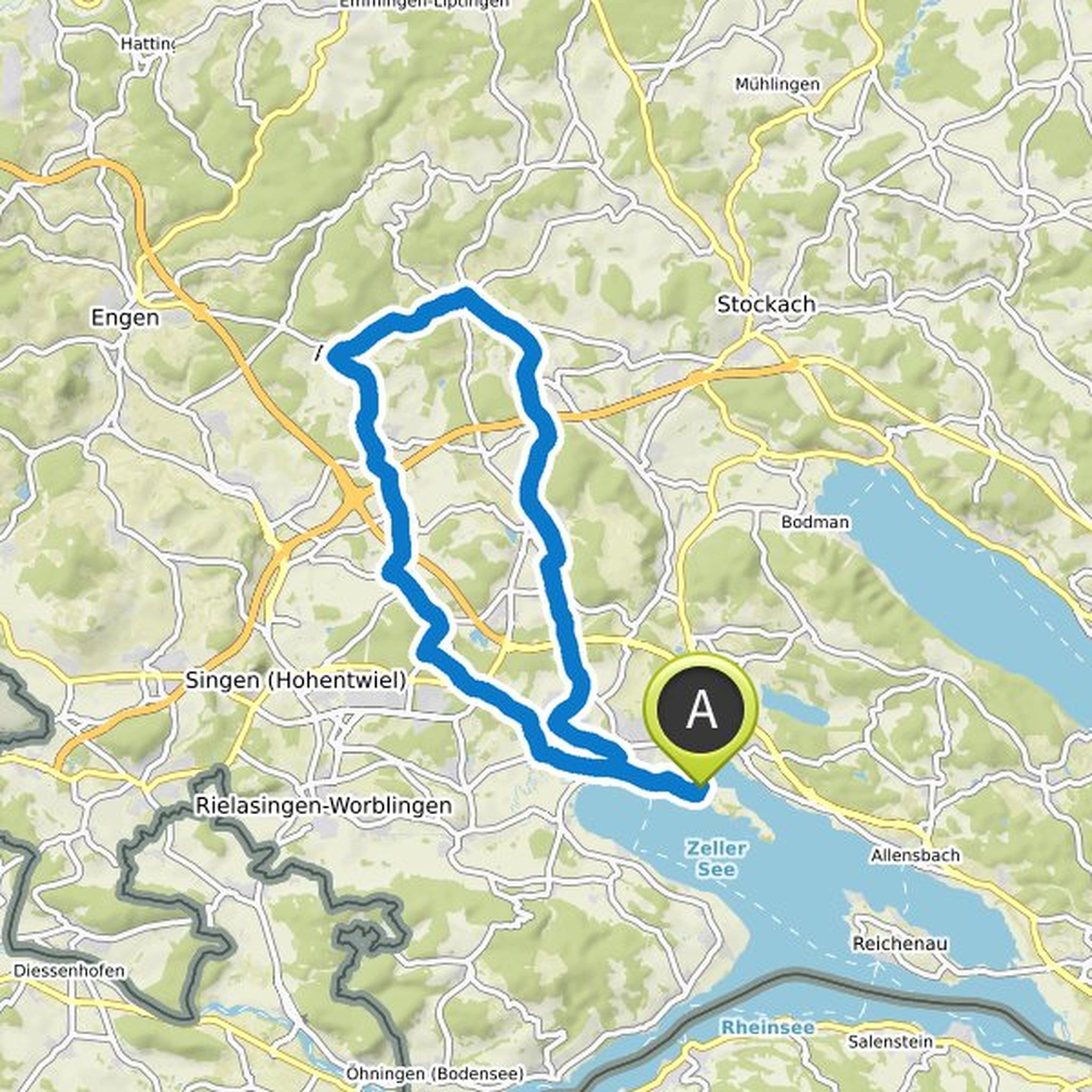
Hermann planned a hike
May 13, 2022
Time
Distance
Speed
Ascent
Descent
Hermann planned a hike
May 13, 2022
Time
Distance
Speed
Ascent
Descent
Hermann planned a hike
May 8, 2022
Time
Distance
Speed
Ascent
Descent
Hermann planned a hike
May 8, 2022
Time
Distance
Speed
Ascent
Descent
Hermann planned a hike
May 8, 2022
Time
Distance
Speed
Ascent
Descent
Hermann planned a hike
May 8, 2022
Time
Distance
Speed
Ascent
Descent
Hermann planned a hike
May 8, 2022
Time
Distance
Speed
Ascent
Descent
Hermann planned a hike
April 3, 2022
Time
Distance
Speed
Ascent
Descent
Hermann planned a hike
April 3, 2022
Time
Distance
Speed
Ascent
Descent
Hermann planned a hike
March 20, 2022
Time
Distance
Speed
Ascent
Descent

Hermann planned a road ride
February 2, 2022
Time
Distance
Speed
Ascent
Descent

Hermann planned a bike ride
November 1, 2021
Time
Distance
Speed
Ascent
Descent
Hermann planned a bike ride
November 1, 2021
Time
Distance
Speed
Ascent
Descent

Hermann planned a bike ride
October 23, 2021
Time
Distance
Speed
Ascent
Descent
