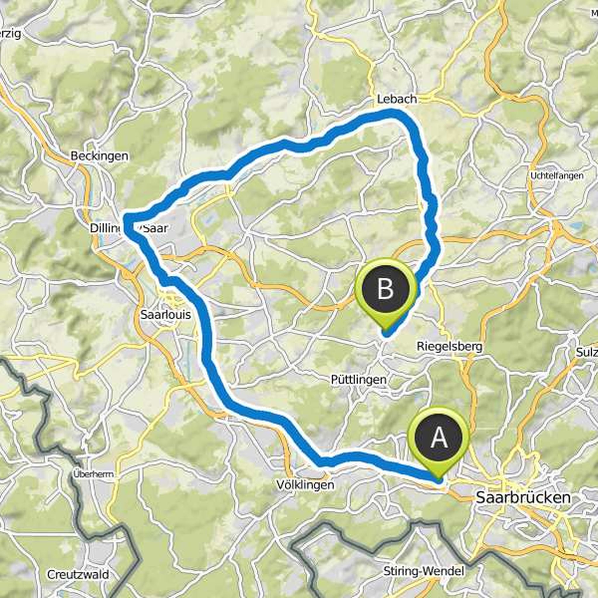
Timeline
Maximilian Müller planned a hike
January 11, 2022
Time
2h37m
Distance
9.64km
Speed
3.7km/h
Ascent
130m
Descent
130m

Map data © OpenStreetMap contributors
Maximilian Müller planned a hike
June 25, 2021
Time
1h57m
Distance
6.63km
Speed
3.4km/h
Ascent
200m
Descent
200m

Map data © OpenStreetMap contributors
Maximilian Müller planned a hike
June 11, 2021
Time
4h11m
Distance
15.3km
Speed
3.7km/h
Ascent
230m
Descent
220m

Map data © OpenStreetMap contributors
Maximilian Müller planned a hike
June 11, 2021
Time
4h17m
Distance
15.4km
Speed
3.6km/h
Ascent
280m
Descent
280m

Map data © OpenStreetMap contributors
Maximilian Müller planned a hike
June 11, 2021
Time
4h44m
Distance
16.4km
Speed
3.5km/h
Ascent
370m
Descent
370m

Map data © OpenStreetMap contributors
Maximilian Müller planned a road ride
May 1, 2019
Time
2h50m
Distance
49.4km
Speed
17.5km/h
Ascent
490m
Descent
490m

Map data © OpenStreetMap contributors
Maximilian Müller planned a hike
March 28, 2019
Time
2h34m
Distance
8.06km
Speed
3.1km/h
Ascent
280m
Descent
300m

Map data © OpenStreetMap contributors
Maximilian Müller planned a road ride
June 19, 2018
Time
2h24m
Distance
53.9km
Speed
22.5km/h
Ascent
320m
Descent
270m
Map data © OpenStreetMap contributors