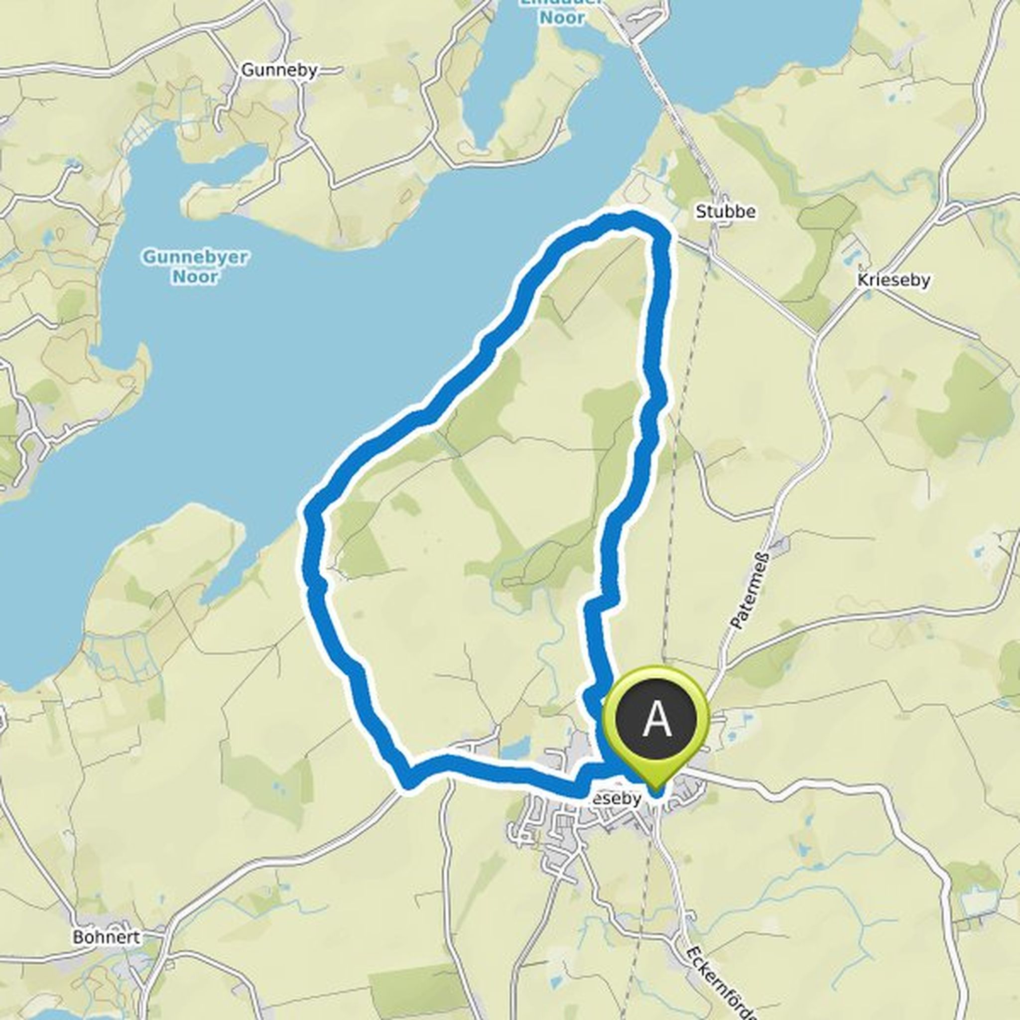
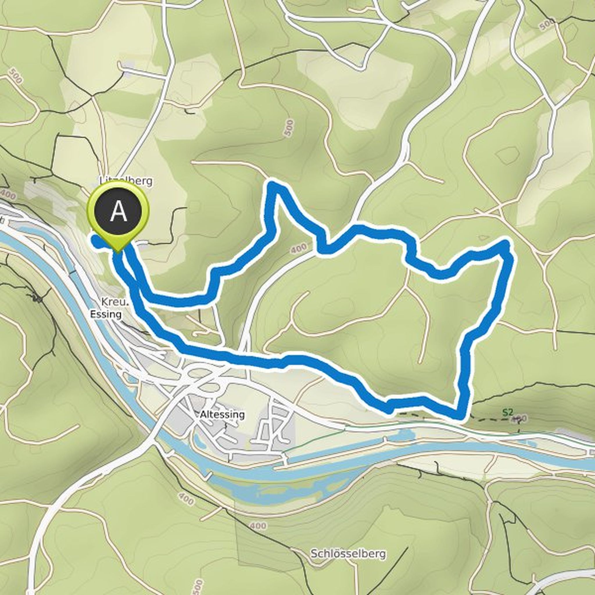
Timeline
Phil Schröder planned a hike
October 15, 2022
Time
2h05m
Distance
7.24km
Speed
3.5km/h
Ascent
170m
Descent
170m
Map data © OpenStreetMap contributors
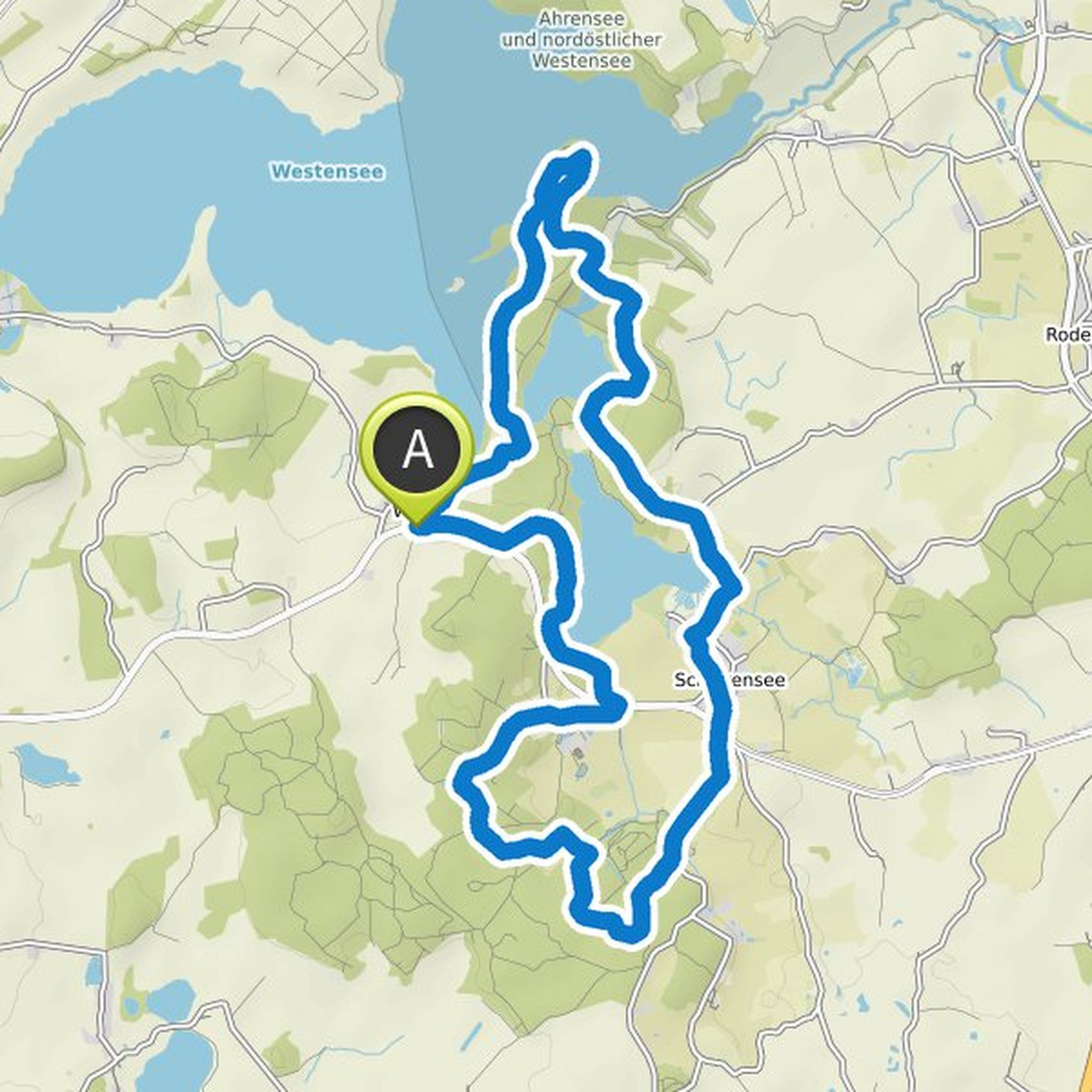
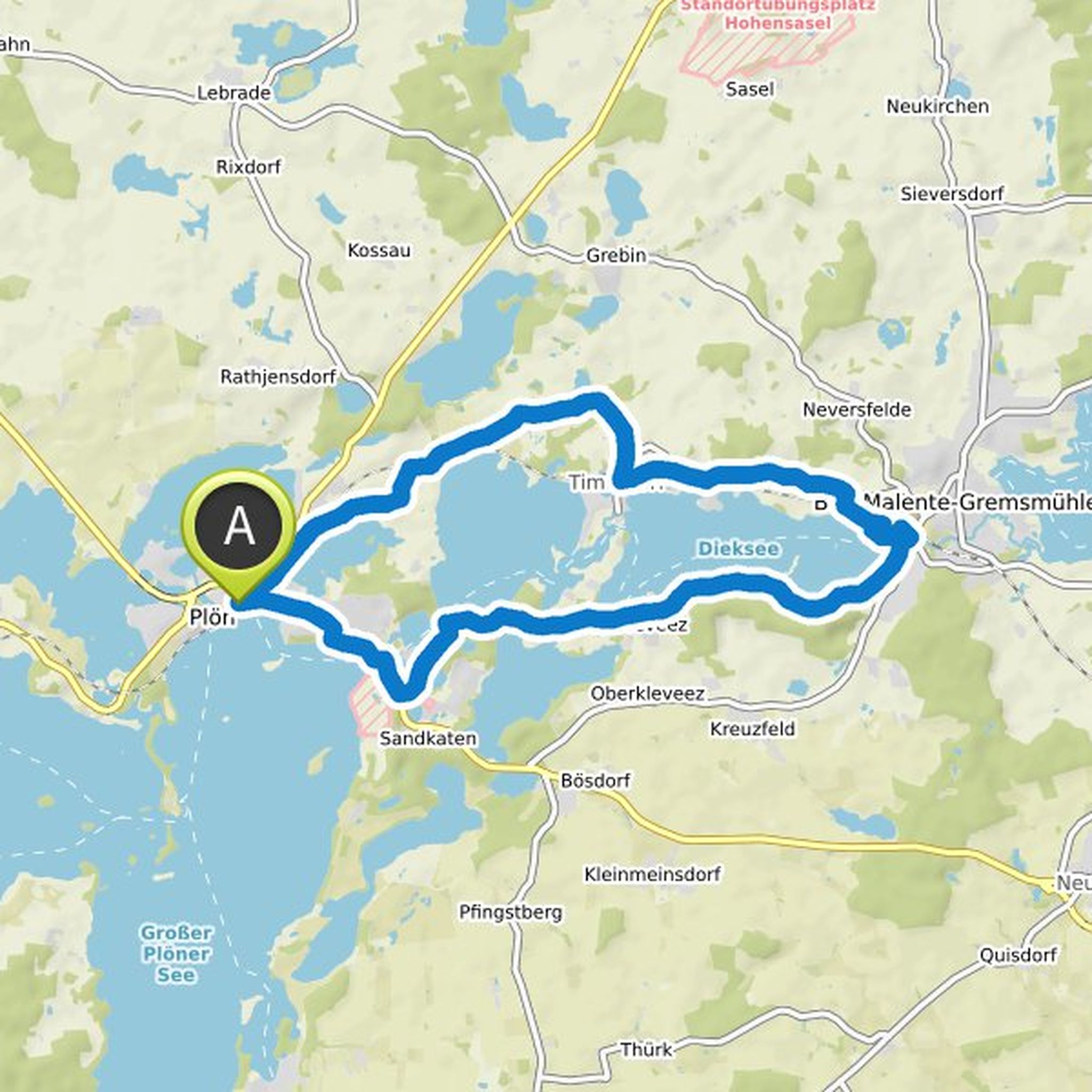
Phil Schröder planned a hike
October 15, 2022
Time
6h59m
Distance
24.1km
Speed
3.5km/h
Ascent
580m
Descent
590m
Map data © OpenStreetMap contributors
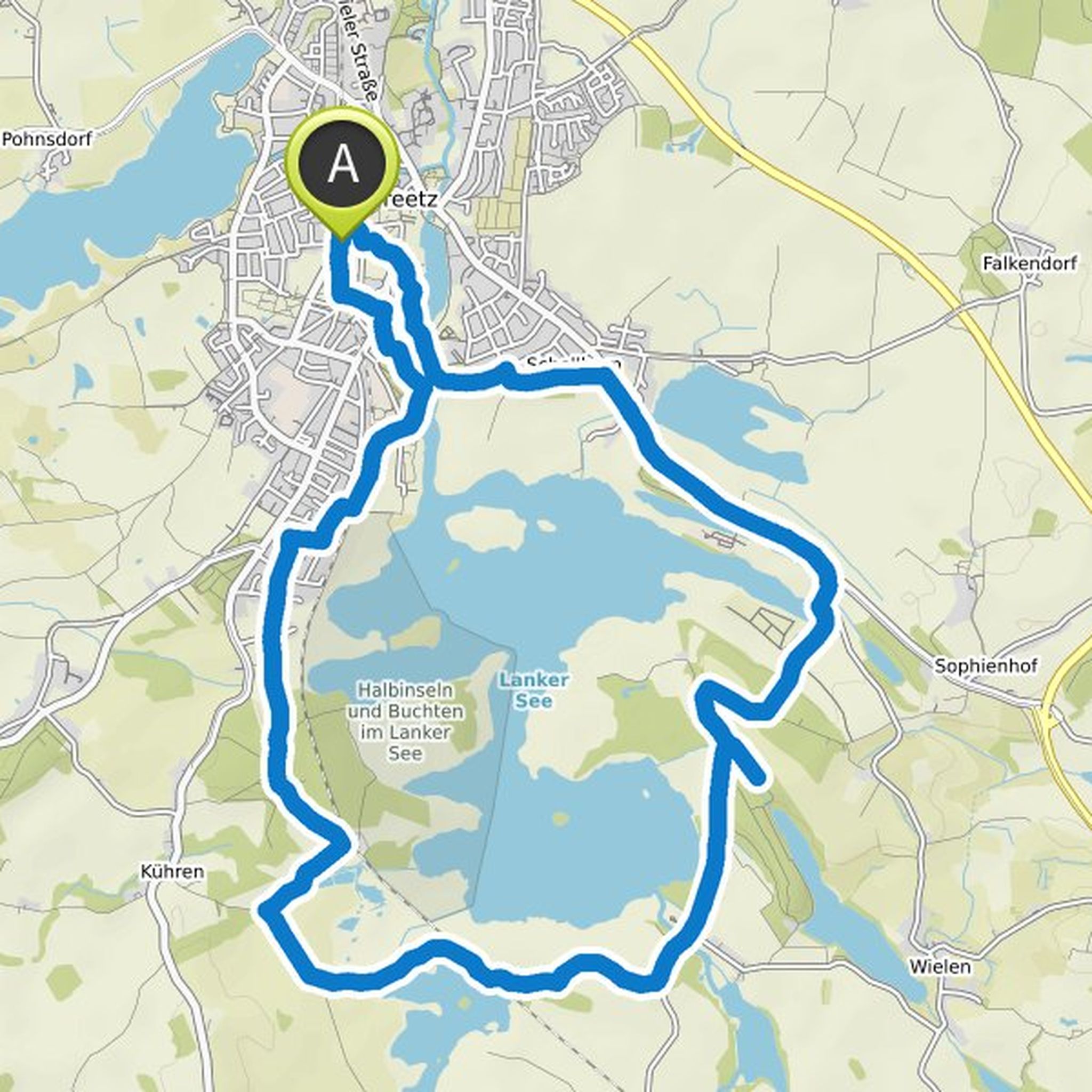
Phil Schröder planned a hike
February 5, 2022
Time
3h30m
Distance
11.8km
Speed
3.4km/h
Ascent
310m
Descent
310m
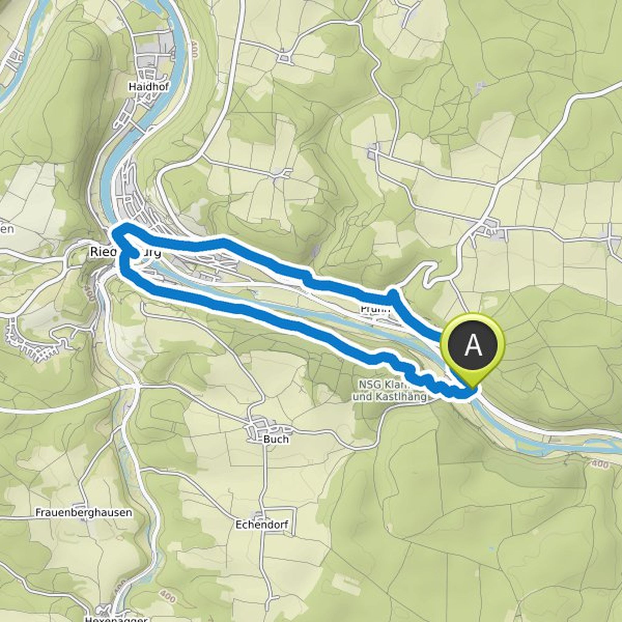
Map data © OpenStreetMap contributors
Phil Schröder planned a hike
November 21, 2021
Time
4h22m
Distance
15.4km
Speed
3.5km/h
Ascent
330m
Descent
340m
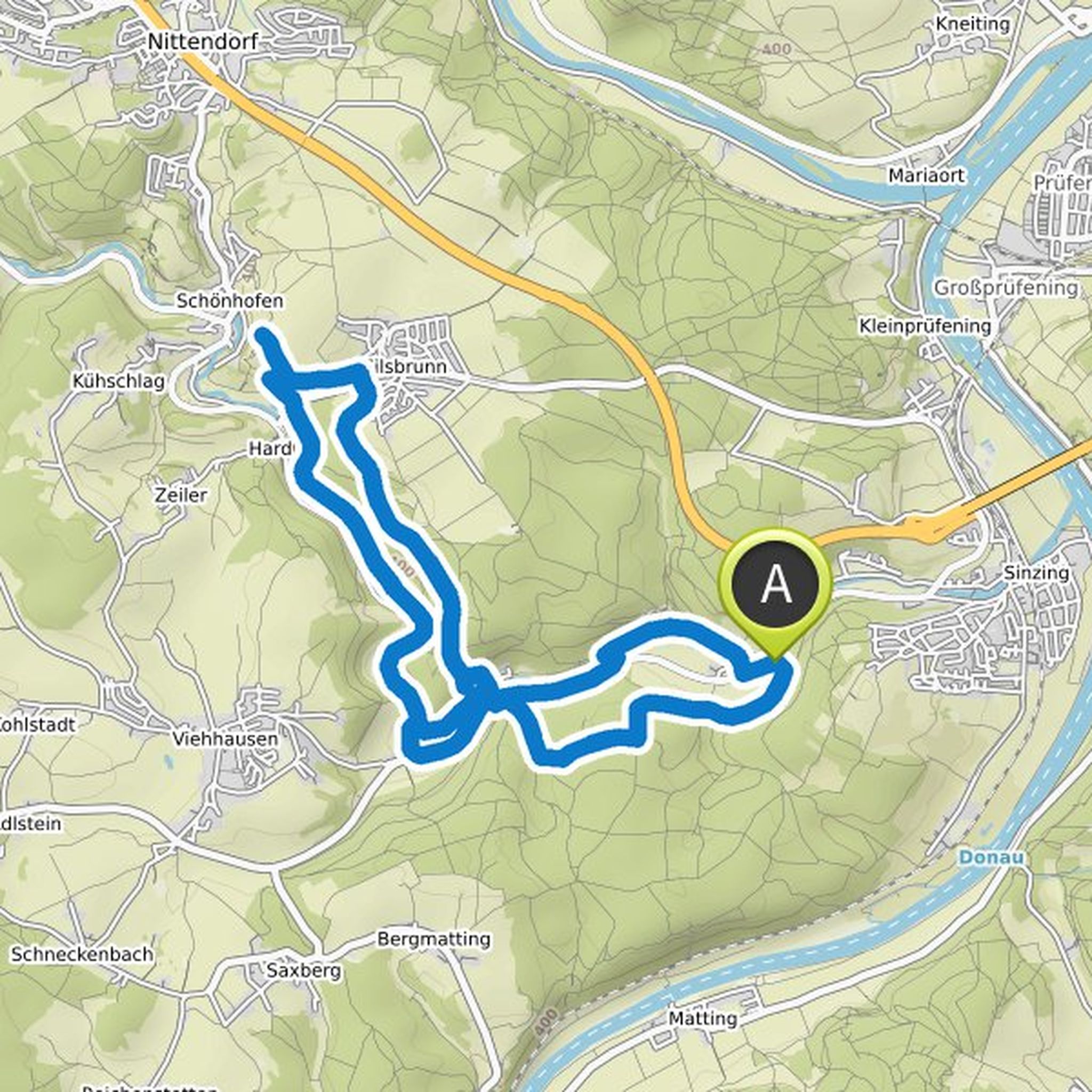
Map data © OpenStreetMap contributors
Phil Schröder planned a hike
August 1, 2021
Time
3h08m
Distance
11.9km
Speed
3.8km/h
Ascent
50m
Descent
50m
Map data © OpenStreetMap contributors
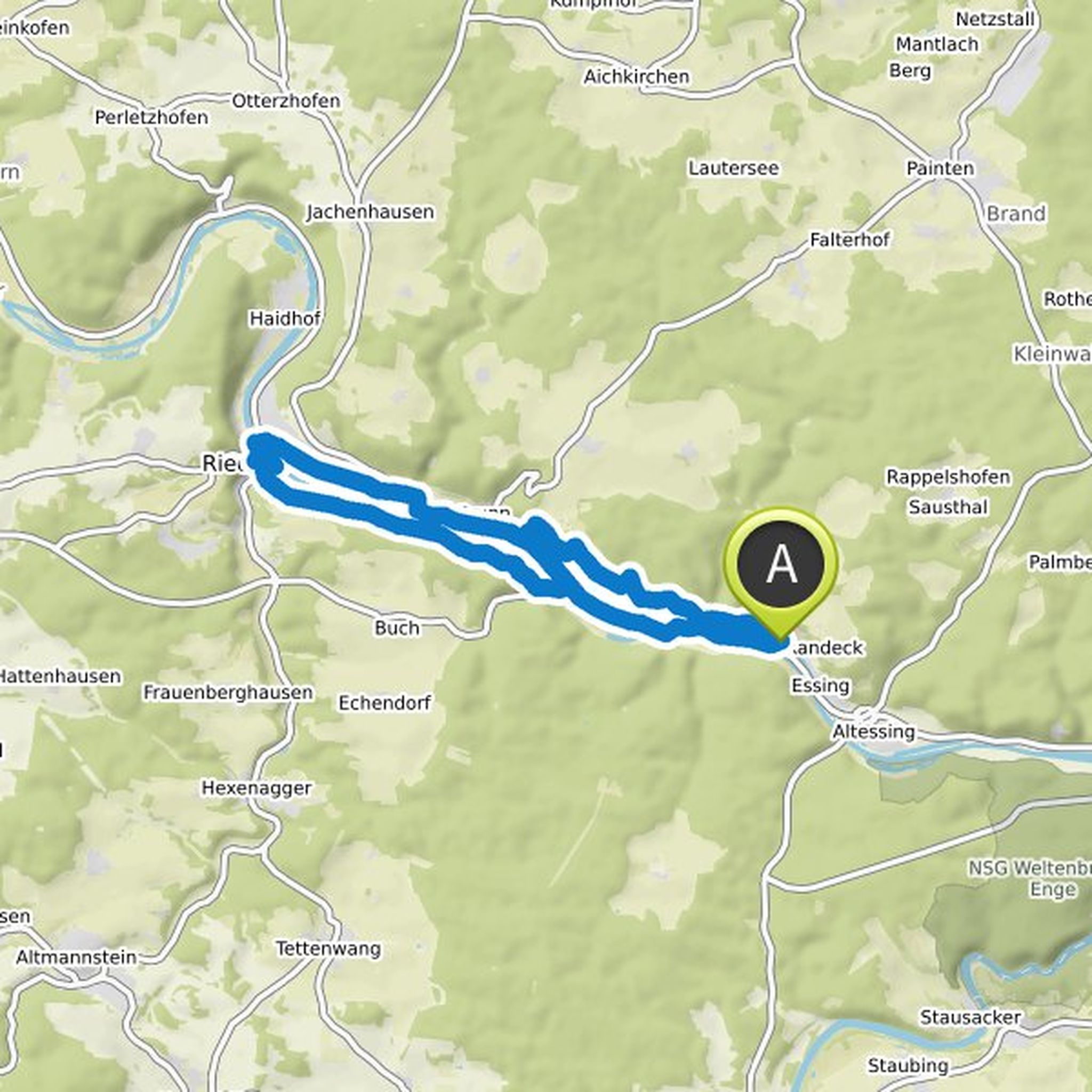
Phil Schröder planned a hike
August 1, 2021
Time
4h07m
Distance
15.4km
Speed
3.7km/h
Ascent
170m
Descent
170m
Map data © OpenStreetMap contributors
Phil Schröder planned a hike
August 7, 2020
Time
5h53m
Distance
22.4km
Speed
3.8km/h
Ascent
140m
Descent
140m
Map data © OpenStreetMap contributors
Phil Schröder planned a hike
August 7, 2020
Time
4h30m
Distance
17.4km
Speed
3.9km/h
Ascent
100m
Descent
100m
Map data © OpenStreetMap contributors
Phil Schröder planned a hike
May 8, 2020
Time
2h33m
Distance
8.22km
Speed
3.2km/h
Ascent
230m
Descent
230m
Map data © OpenStreetMap contributors
Phil Schröder planned a hike
May 8, 2020
Time
6h13m
Distance
22.1km
Speed
3.6km/h
Ascent
360m
Descent
360m
Map data © OpenStreetMap contributors