Timeline
Lukas planned a hike
August 11, 2022
Time
Distance
Speed
Ascent
Descent
Lukas planned a hike
August 11, 2022
Time
Distance
Speed
Ascent
Descent
Lukas planned a hike
August 11, 2022
Time
Distance
Speed
Ascent
Descent
Lukas planned a hike
August 11, 2022
Time
Distance
Speed
Ascent
Descent
Lukas planned a hike
July 26, 2022
Time
Distance
Speed
Ascent
Descent
Lukas planned a hike
July 25, 2022
Time
Distance
Speed
Ascent
Descent
Lukas planned a hike
July 25, 2022
Time
Distance
Speed
Ascent
Descent
Lukas planned a hike
July 25, 2022
Time
Distance
Speed
Ascent
Descent
Lukas planned a hike
July 25, 2022
Time
Distance
Speed
Ascent
Descent
Lukas planned a hike
March 2, 2022
Time
Distance
Speed
Ascent
Descent

Lukas planned a hike
February 3, 2022
Time
Distance
Speed
Ascent
Descent

Lukas planned a hike
February 3, 2022
Time
Distance
Speed
Descent

Lukas planned a hike
February 3, 2022
Time
Distance
Speed
Ascent
Descent
Lukas planned a hike
July 27, 2021
Time
Distance
Speed
Ascent
Descent

Lukas planned a hike
July 27, 2021
Time
Distance
Speed
Ascent
Descent

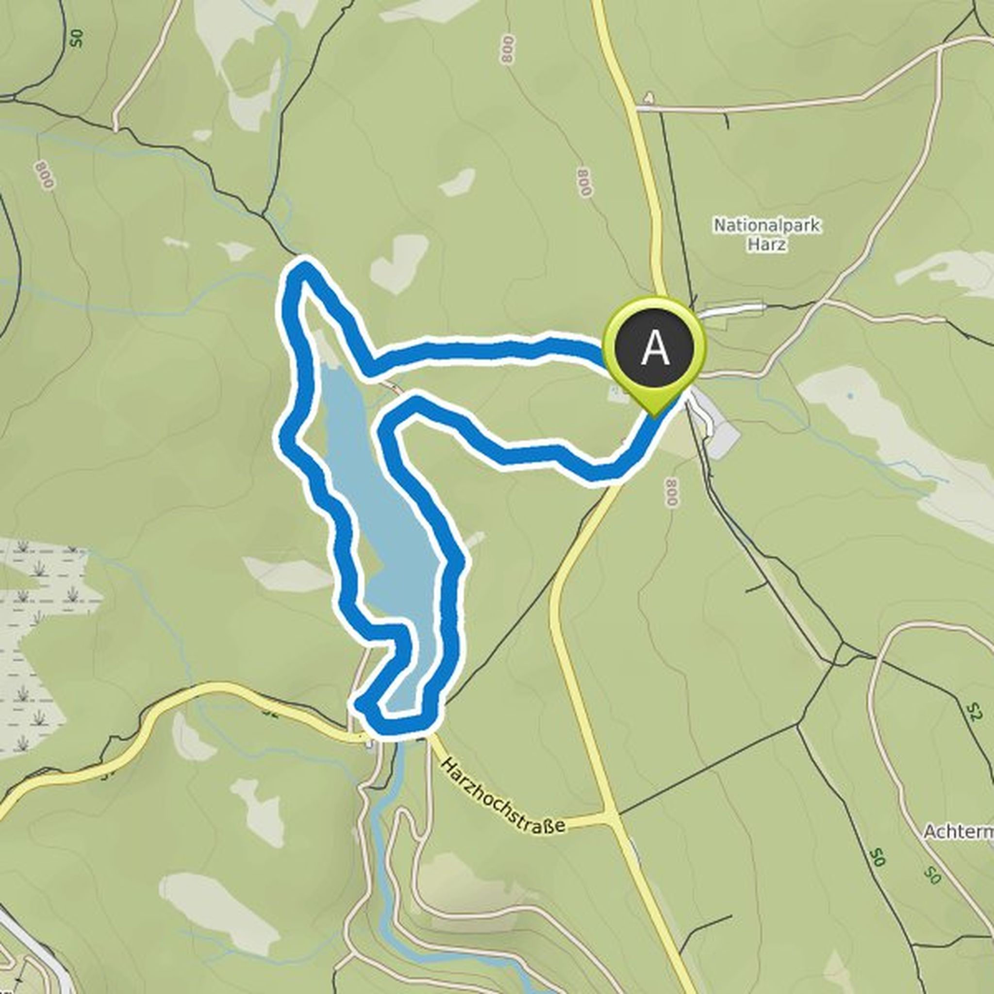
July 26, 2022
The route has been closed since 2022 by law and a large sign at the former entrance. Below there is access to some bathing pools at the road bridge, but the hike is no longer possible. Unfortunately, in July there was a lot of hype with canyoning groups and lots of cars/swimmers.
Translated by Google •