Timeline
Gerhard Weiß and others planned a mountain bike ride
August 3, 2020
Time
Distance
Speed
Ascent
Descent

Jeni59 likes this.
Gerhard Weiß and Werner planned a mountain bike ride
July 24, 2020
Time
Distance
Speed
Ascent
Descent

Jeni59 likes this.
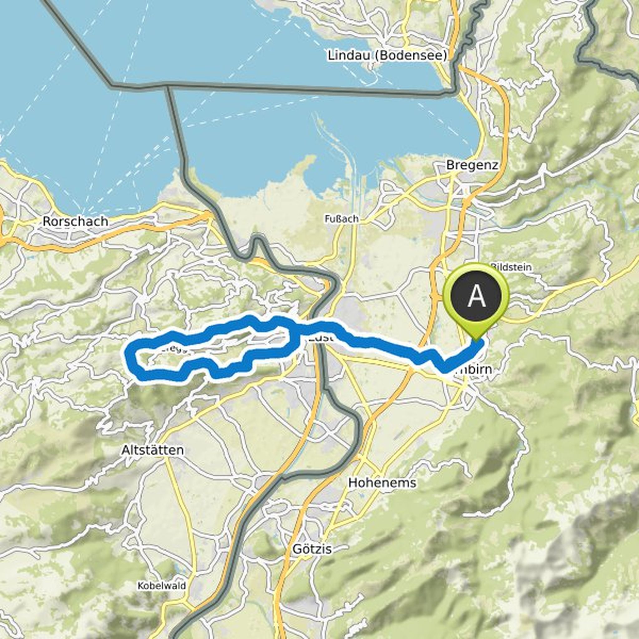
July 24, 2020
Start at the fire department / mountain rescue house in Damüls below the town center.
Damüls - on the Hahnenköpflegalerie - Faschina - Stuztobel - Zafernmaisäß - Furkla - Zafernalpe - Hintere and Vordere Kriegbodenalpe - Bödmenalpen - Damüls
Translated by Google •
Gerhard Weiß and others planned a mountain bike ride
July 23, 2020
Time
Distance
Speed
Ascent
Descent

Jeni59 likes this.
July 23, 2020
Trail scouting - let's see what the trails have to offer.
Start Übersaxner Straße at Netschelweg - Übersaxen - Dünser Älpele - Hinterjoch - Schafbodenweg - Upper Hensleralpe - Upper Desert - Sunday pasture - Netschelweg back
Translated by Google •
Gerhard Weiß and Martin Schweninger planned a mountain bike ride
July 13, 2020
Time
Distance
Speed
Ascent
Descent

Jeni59 likes this.
Gerhard Weiß and Martin Schweninger planned a mountain bike ride
July 8, 2020
Time
Distance
Speed
Ascent
Descent

Jeni59 likes this.
Gerhard Weiß and Martin Schweninger planned a mountain bike ride
July 8, 2020
Time
Distance
Speed
Ascent
Descent

Jeni59 likes this.
Gerhard Weiß and djovo planned an e-mountain bike ride
June 27, 2020
Time
Distance
Speed
Ascent
Descent
Jeni59 likes this.
Gerhard Weiß and others planned an e-mountain bike ride
June 27, 2020
Time
Distance
Speed
Ascent
Descent

Jeni59 likes this.
Gerhard Weiß and others planned an e-mountain bike ride
June 27, 2020
Time
Distance
Speed
Ascent
Descent

August 4, 2020
Princely Singletrack Tour (S2)
Start at the Rheinparkstadion car park in Vaduz. Pass the princely castle on hiking trails or the mountain road to Triesenberg and to the old tunnel that leads to Malbun. On easy ways to Silum and Gaflei. From here on S2 trails to the Wildschlössle and down to Vaduz.
Translated by Google •