Timeline
S🅾️lgie planned a hike
September 14, 2022
Time
Distance
Speed
Ascent
Descent
S🅾️lgie planned a hike
September 14, 2022
Time
Distance
Speed
Ascent
Descent
S🅾️lgie planned a hike
September 14, 2022
Time
Distance
Speed
Ascent
Descent
S🅾️lgie planned a hike
September 13, 2022
Time
Distance
Speed
Ascent
Descent
S🅾️lgie planned a hike
April 9, 2022
Time
Distance
Speed
Ascent
Descent
S🅾️lgie planned a bike ride
September 5, 2021
Time
Distance
Speed
Ascent
Descent
S🅾️lgie planned a hike
June 5, 2021
Time
Distance
Speed
Ascent
Descent
S🅾️lgie planned a hike
June 5, 2021
Time
Distance
Speed
Ascent
Descent
S🅾️lgie planned a hike
September 2, 2020
Time
Distance
Speed
Ascent
Descent
S🅾️lgie planned a hike
September 2, 2020
Time
Distance
Speed
Ascent
Descent
September 2, 2020
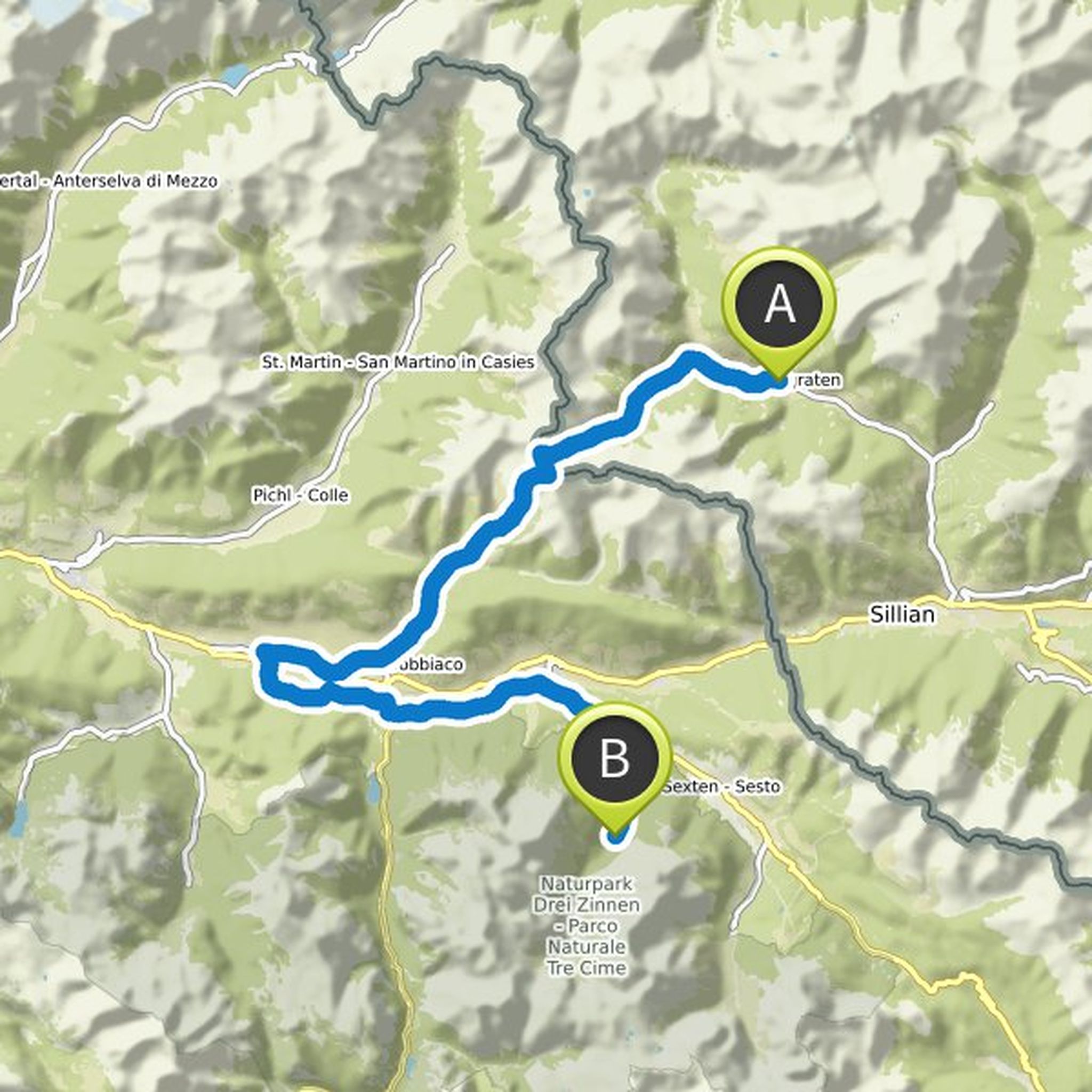
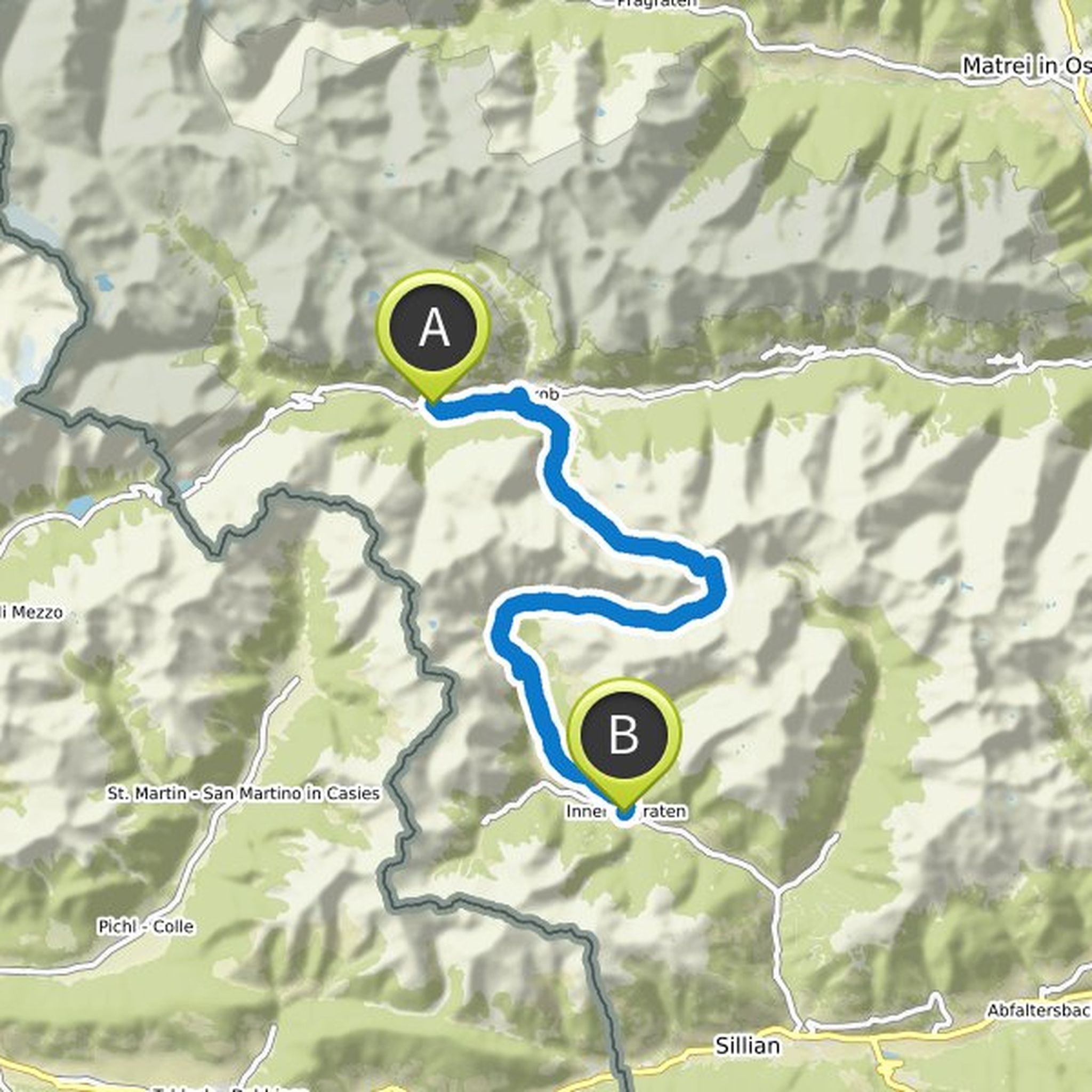
Taxi transfer to Defereggental. The Villgraten mountains are crossed. From St. Jakob we reach the Mooseralm with a chairlift. From here we climb to the Ochsenlenke and walk past the Degenhornsee and on to the Arntaler Lenke. Descent over the Arntal to the Unterstalleralm and on by bus to Innervillgraten
Translated by Google •
S🅾️lgie planned a hike
September 2, 2020
Time
Distance
Speed
Ascent
Descent
September 2, 2020
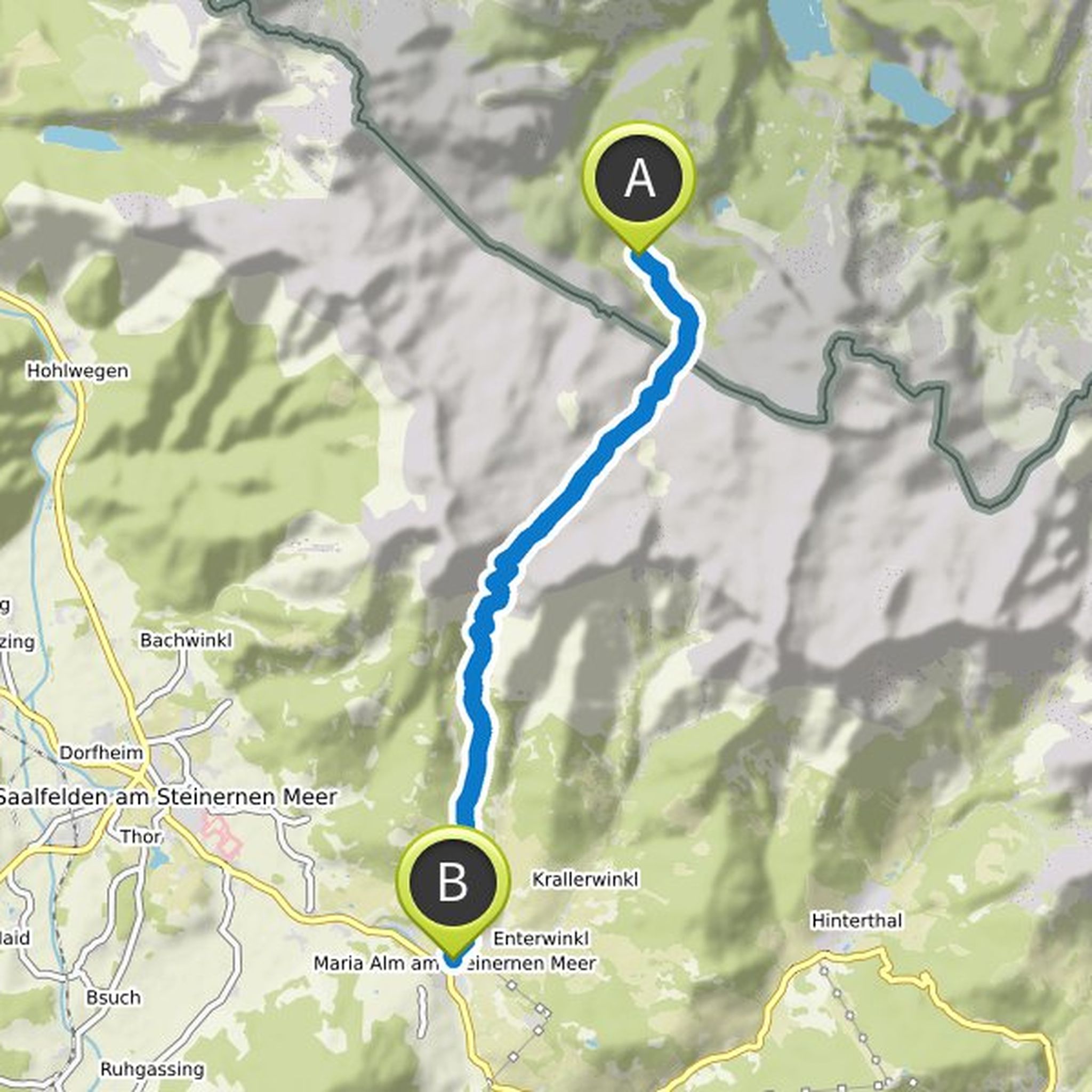
Crossing the karst plateau of the Stone Sea. After about 3 hours we reach the Riemannhaus (2,177 m), where we take our well-deserved lunch break. From here a steep path, partly secured with wire ropes, leads down to Maria Alm. Taxi transfer to Ferleiten (approx. 1 hour). Ascent and overnight in a rustic
Translated by Google •
S🅾️lgie planned a hike
September 2, 2020
Time
Distance
Speed
Ascent
Descent
September 2, 2020
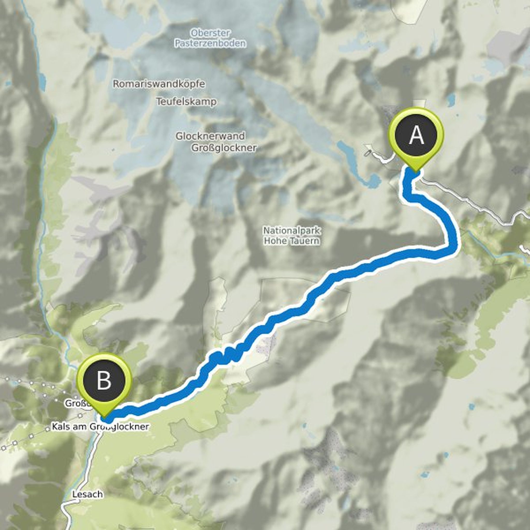
After a short descent to the Margaritzen reservoir, continue in the direction of Heiligenblut to the junction into the Leitertal. The route continues along the Leiterbach to the Glorer Hut (2,642 m). After a well-deserved lunch break, we descend to the Lucknerhaus (1,918 m), our accommodation today
Translated by Google •
S🅾️lgie planned a hike
September 2, 2020
Time
Distance
Speed
Ascent
Descent
September 2, 2020
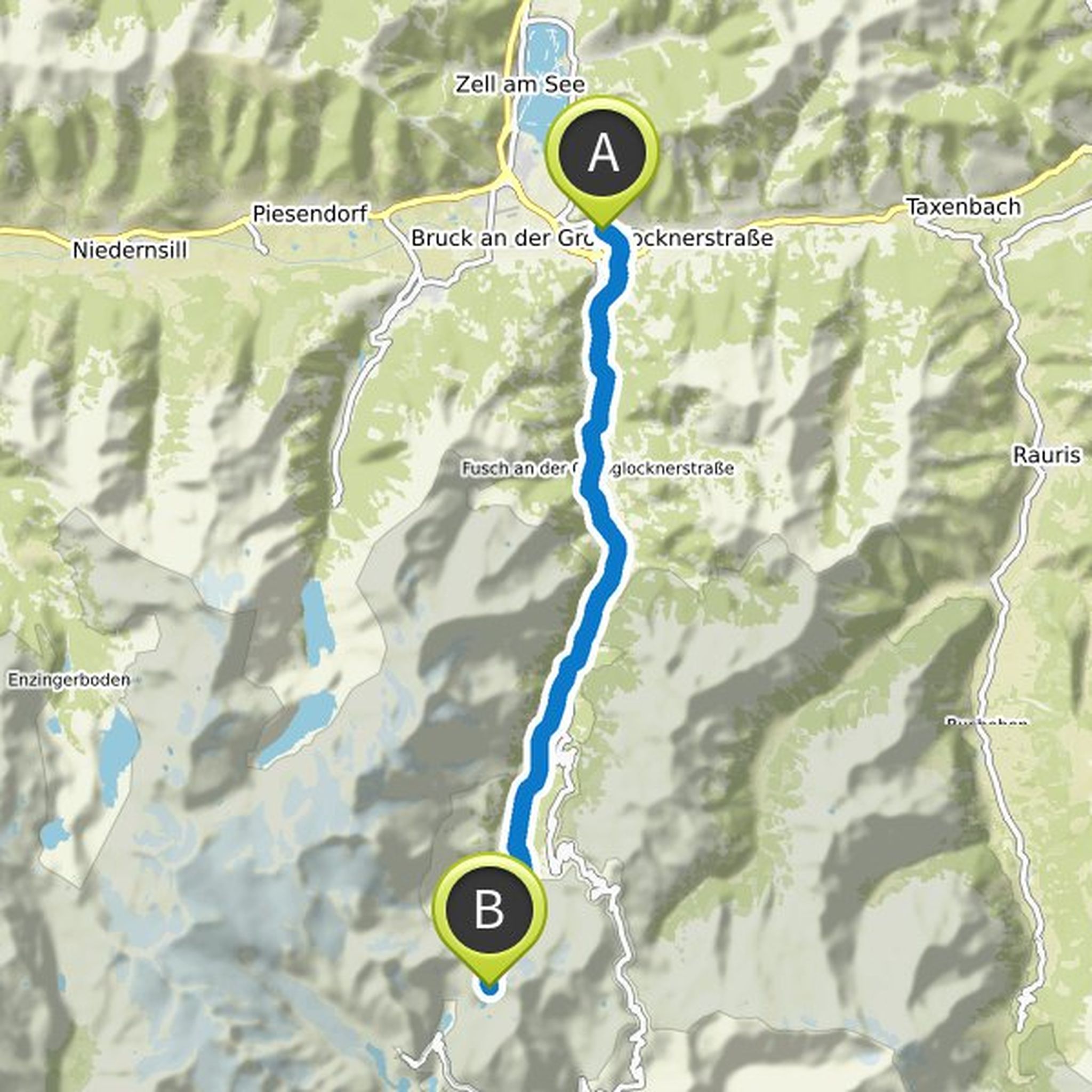
Freshly strengthened after a hearty breakfast, we climb under the mighty glacier scenery from the Großer Wiesbachhorn and Fuscherkarkopf to the Pfandlscharte (2,665 m). From here there is a wonderful view of the Großglockner. Then it goes with a short ascent to the traditional Glockner House (2,132 m), our accommodation today.
Translated by Google •
S🅾️lgie planned a hike
September 1, 2020
Time
Distance
Speed
Ascent
Descent
September 2, 2020
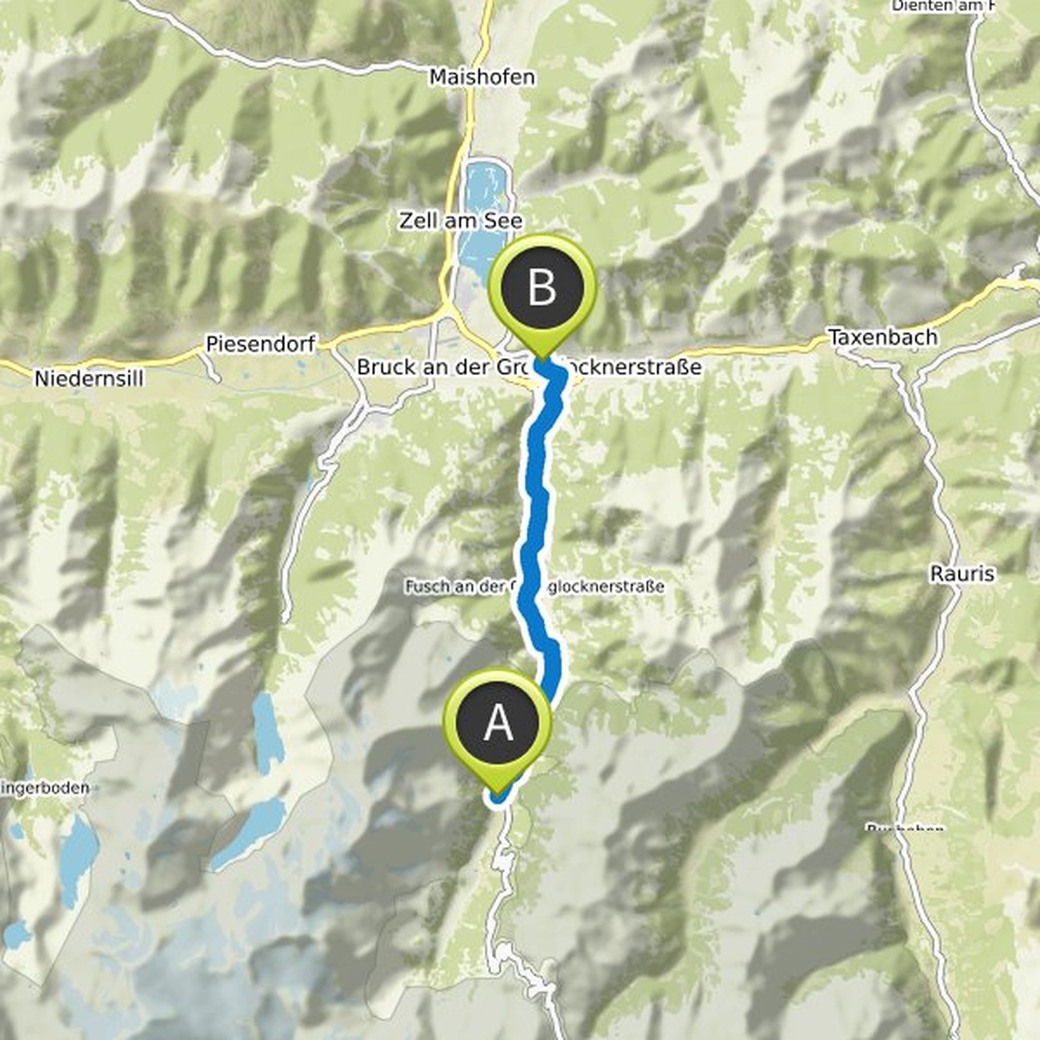
Anyone who has ever conquered the Grossglockner High Alpine Road knows the "Lukashansl" in Bruck. A house that all travelers will remember. And those who have taken a break here like to linger again and again in the comfortable lap of a traditional guest house. Because hospitality sets the tone at the
Translated by Google •
S🅾️lgie planned a hike
September 1, 2020
Time
Distance
Speed
Ascent
Descent
September 1, 2020
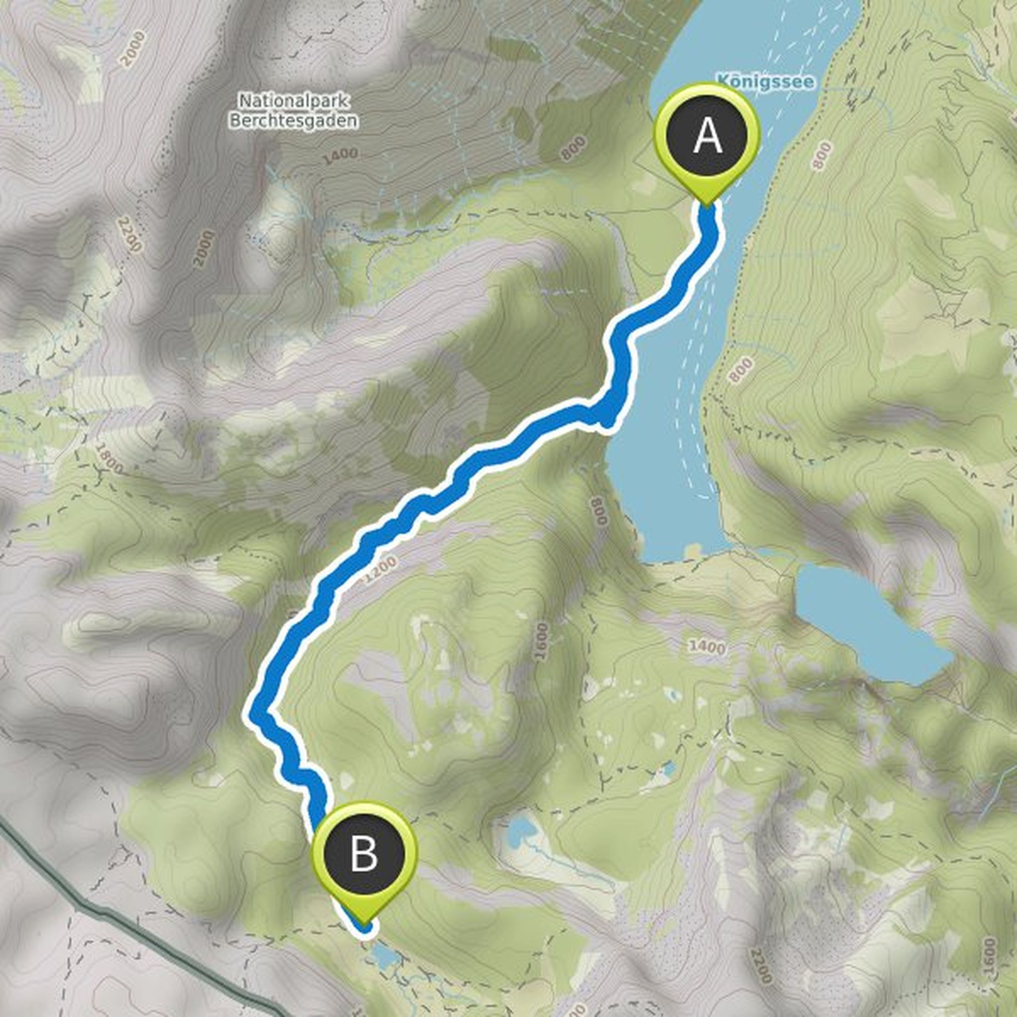
Meeting point 10.30 a.m. at the Königsee car park at the tourist information office. Ride by ship across the Königsee, with a view of the famous Watzmann east face, to St. Bartholomä. Ascent through the Saugasse to the Kärlingerhaus
(1,638 m) located on the picturesque Funtensee. At Christmas 2001 the
Translated by Google •
September 2, 2020
The transition from the Innervillgrater valley to the Pustertal valley leads us over the 2,663 m high Toblacher Pfannhorn. From here we have a magnificent view of the Dolomites and back to the Großglockner group. A promising descent brings us to the Bonnerhütte (2,340 m) where we can enjoy the local
Translated by Google •