Timeline
Ralf Baumann and thore78 planned a bike ride
October 23, 2024
Time
Distance
Speed
Ascent
Descent
thore78 planned a mountain bike ride
September 21, 2022
Time
Distance
Speed
Ascent
Descent
thore78 planned a mountain bike ride
July 8, 2022
Time
Distance
Speed
Ascent
Descent
thore78 planned a hike
June 24, 2022
Time
Distance
Speed
Ascent
Descent
thore78 planned a hike
June 22, 2022
Time
Distance
Speed
Ascent
Descent
thore78 planned a hike
June 22, 2022
Time
Distance
Speed
Ascent
Descent
thore78 planned a mountain bike ride
June 21, 2022
Time
Distance
Speed
Ascent
Descent
thore78 planned a hike
June 20, 2022
Time
Distance
Speed
Ascent
Descent
thore78 planned a hike
June 20, 2022
Time
Distance
Speed
Ascent
Descent
thore78 planned a hike
June 20, 2022
Time
Distance
Speed
Ascent
Descent
thore78 planned a hike
June 20, 2022
Time
Distance
Speed
Ascent
Descent
thore78 planned a hike
April 26, 2022
Time
Distance
Speed
Ascent
Descent
thore78 planned a hike
April 26, 2022
Time
Distance
Speed
Ascent
Descent
thore78 planned a hike
April 25, 2022
Time
Distance
Speed
Ascent
Descent
thore78 planned a mountain bike ride
March 6, 2022
Time
Distance
Speed
Ascent
Descent
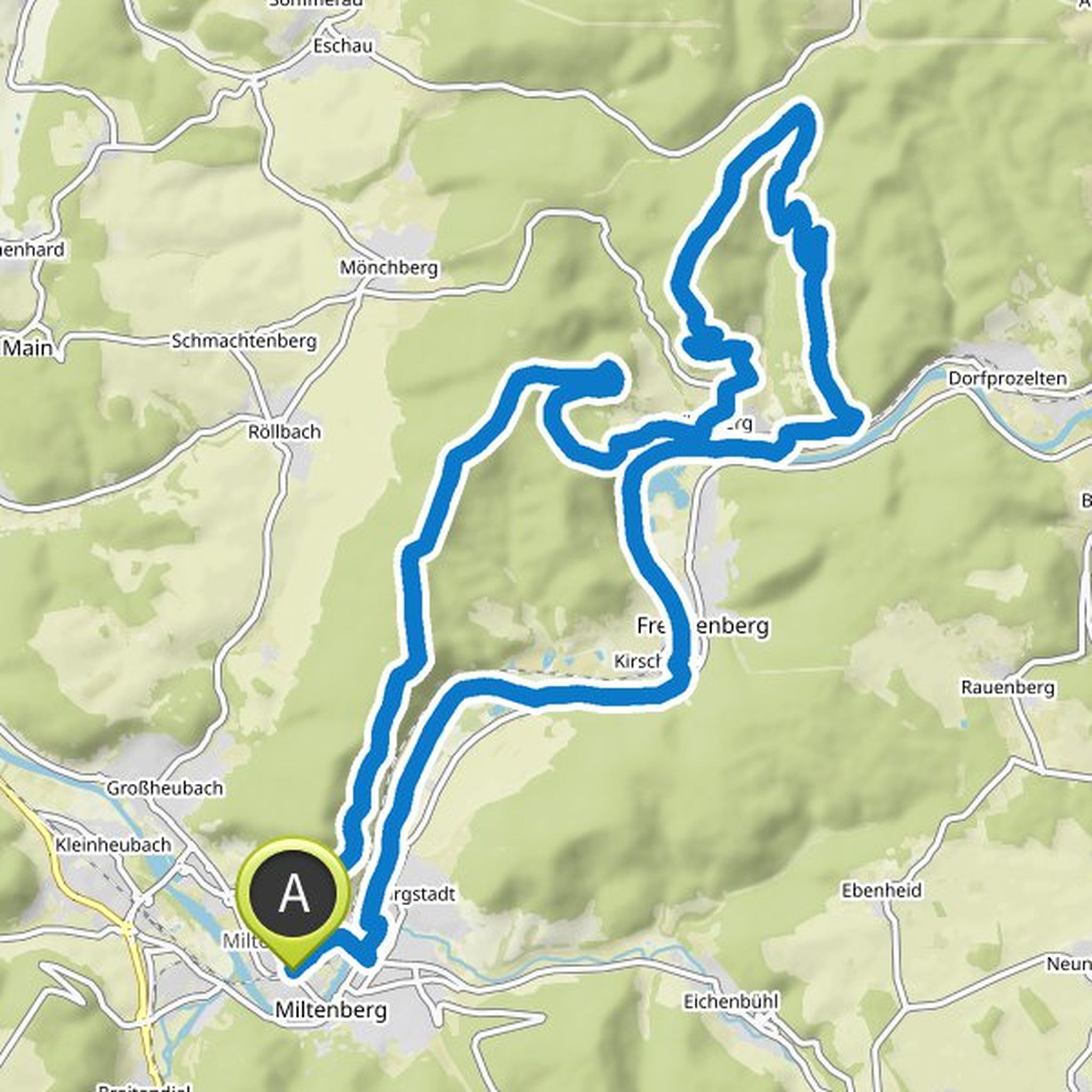
October 23, 2024
The slightly different Mainviereck circuit. Not for racing bikes. 40 mm tires and above. So gravel cross or MTB. Trekking bike is also possible if you can ride ;-)
Translated by Google •