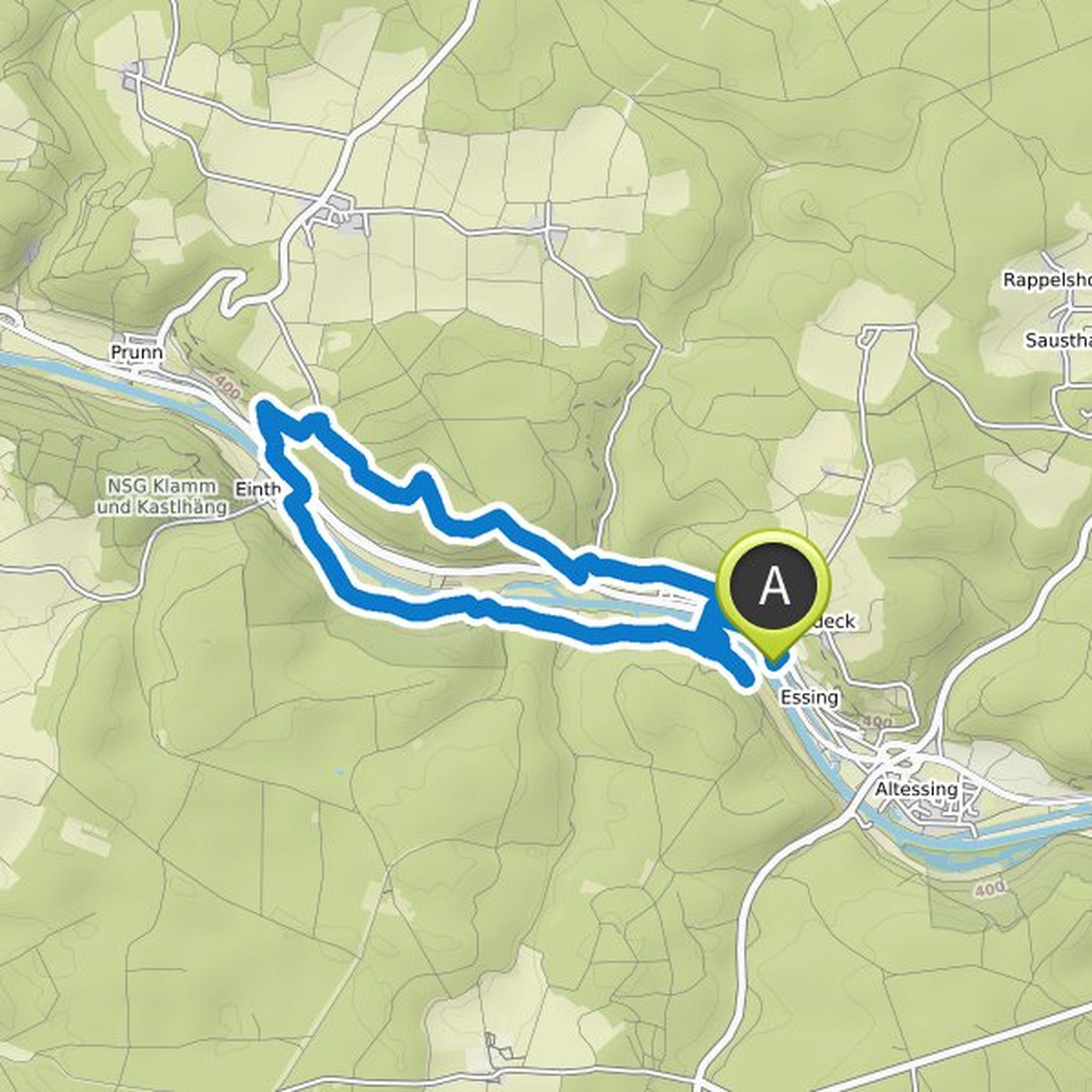
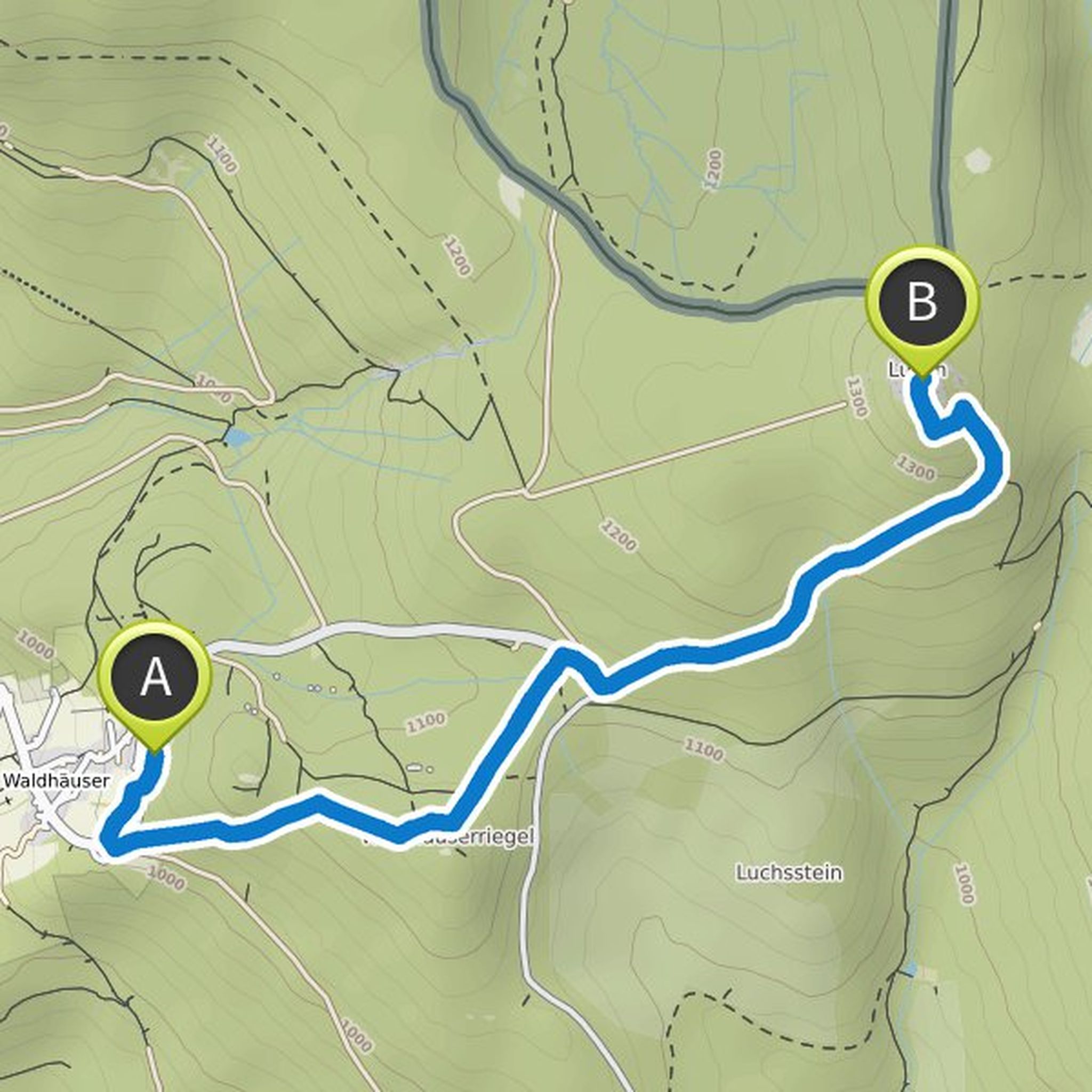
Timeline
Anita Stadler planned a hike
May 25, 2022
Time
5h51m
Distance
18.2km
Speed
3.1km/h
Ascent
760m
Descent
760m
Map data © OpenStreetMap contributors
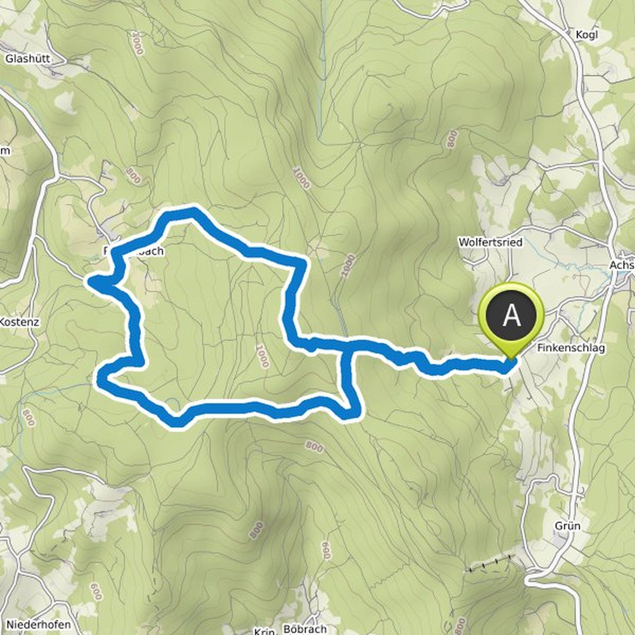
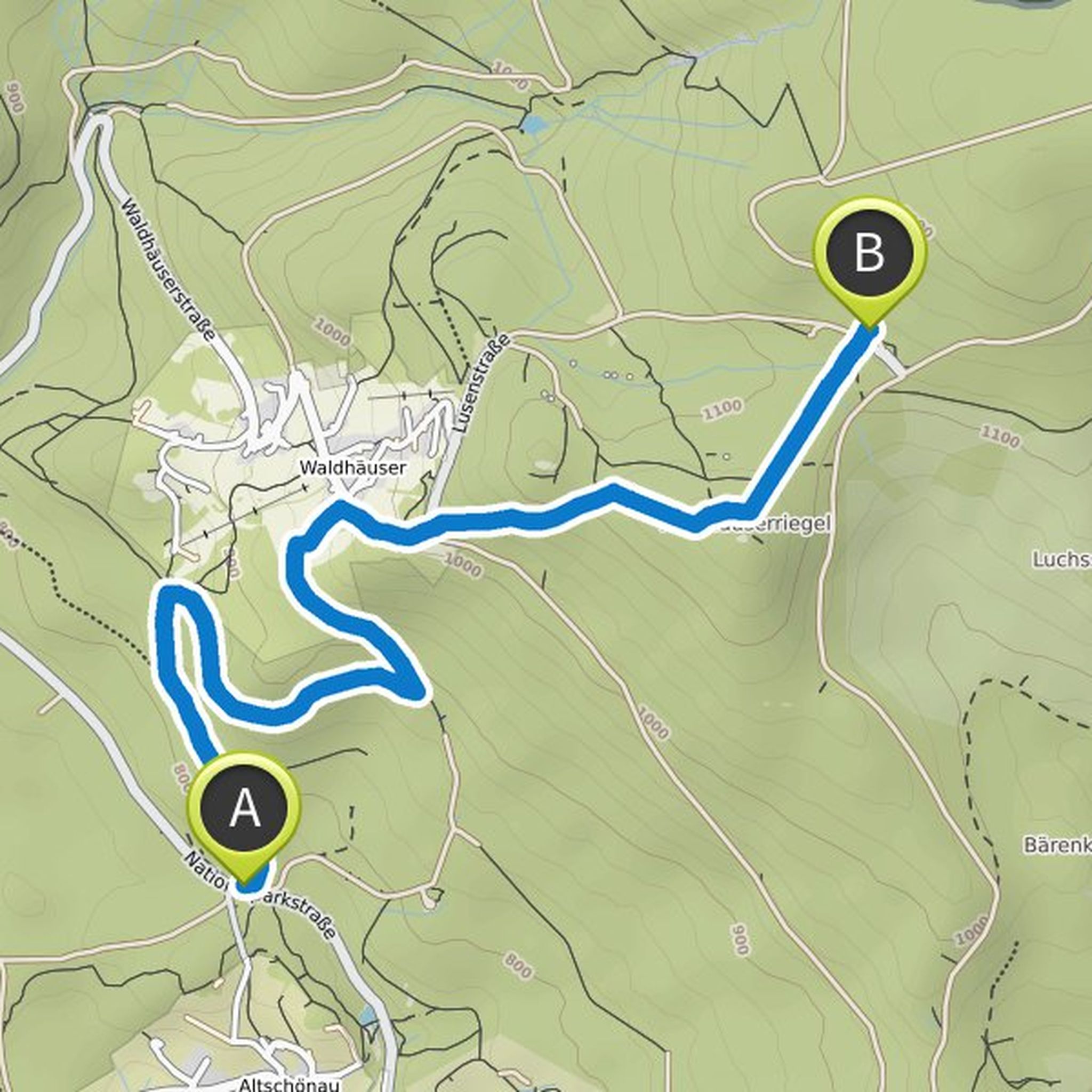
Anita Stadler planned a hike
May 6, 2022
Time
6h21m
Distance
19.8km
Speed
3.1km/h
Ascent
730m
Descent
730m
Map data © OpenStreetMap contributors
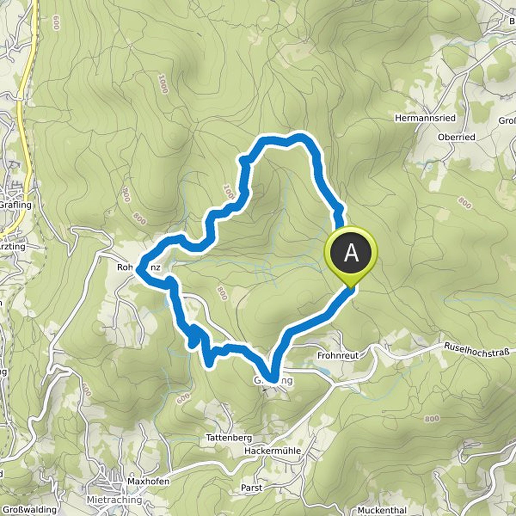
Anita Stadler planned a hike
February 26, 2022
Time
4h00m
Distance
12.4km
Speed
3.1km/h
Ascent
460m
Descent
460m
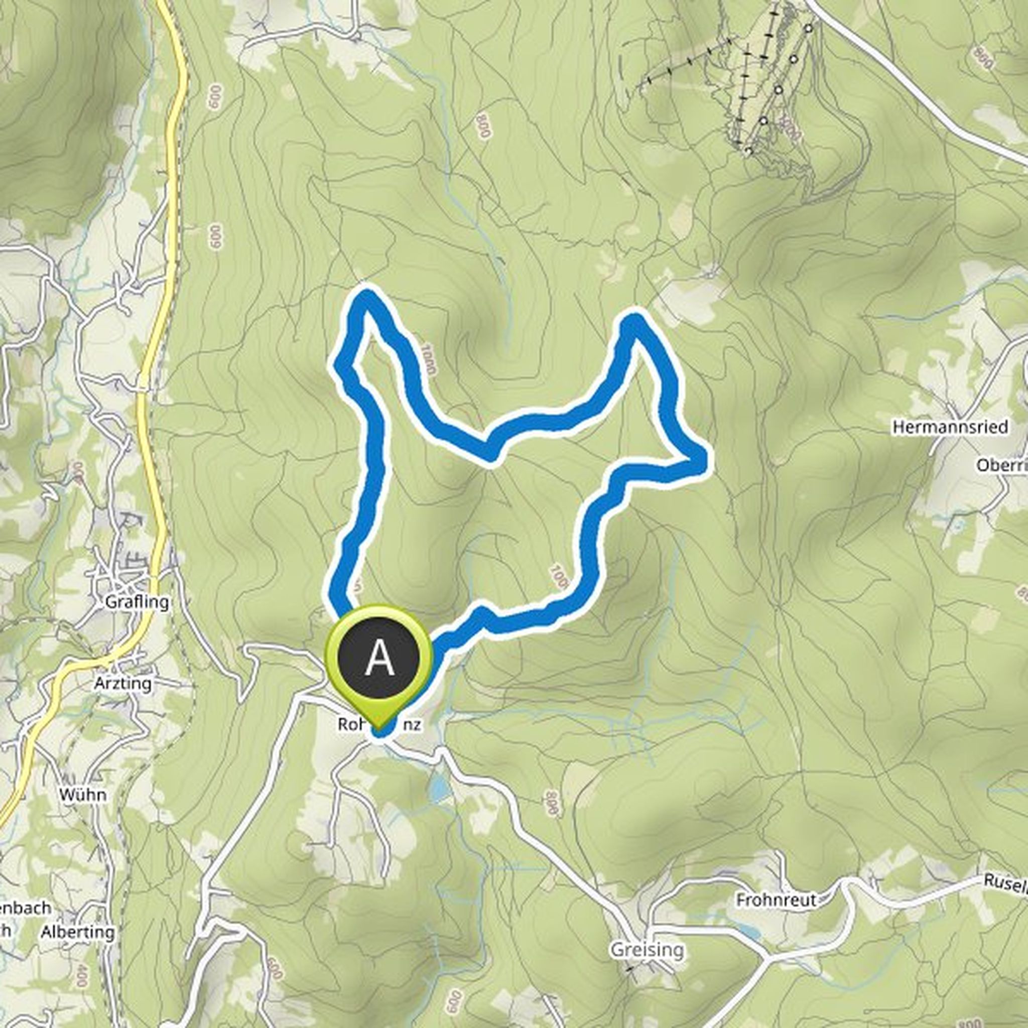
Map data © OpenStreetMap contributors
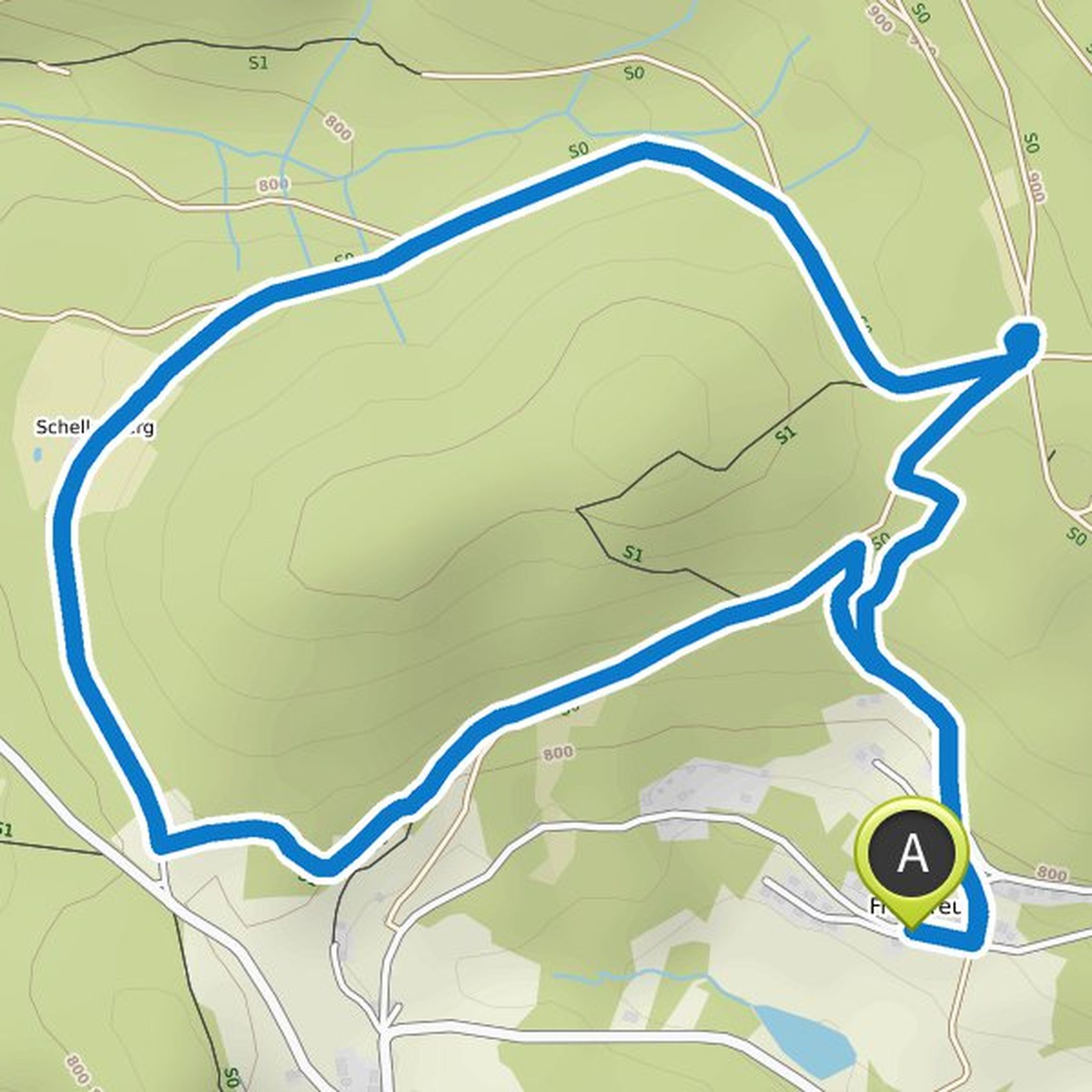
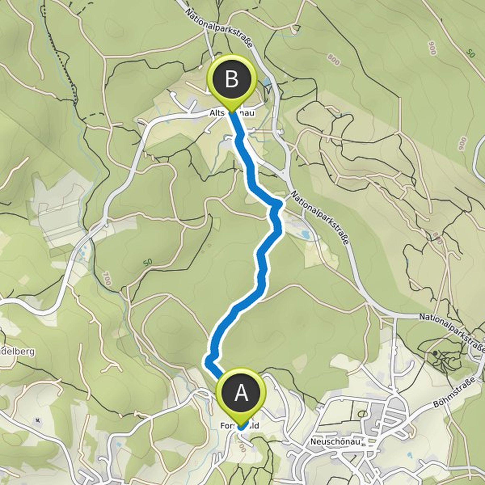
Anita Stadler planned a hike
February 12, 2022
Time
3h19m
Distance
11.7km
Speed
3.5km/h
Ascent
240m
Descent
240m
Map data © OpenStreetMap contributors
Anita Stadler planned a hike
December 19, 2021
Time
1h55m
Distance
6.56km
Speed
3.4km/h
Ascent
180m
Descent
180m
Map data © OpenStreetMap contributors
Anita Stadler planned a hike
July 28, 2020
Time
5h14m
Distance
16.2km
Speed
3.1km/h
Ascent
700m
Descent
700m
Map data © OpenStreetMap contributors
Anita Stadler planned a hike
June 4, 2020
Time
1h53m
Distance
5.75km
Speed
3.1km/h
Ascent
390m
Descent
40m
Map data © OpenStreetMap contributors
Anita Stadler planned a hike
January 2, 2020
Time
1h41m
Distance
4.89km
Speed
2.9km/h
Ascent
370m
Descent
80m
Map data © OpenStreetMap contributors
Anita Stadler planned a hike
August 2, 2019
Time
3h51m
Distance
12.5km
Speed
3.2km/h
Ascent
460m
Descent
460m
Map data © OpenStreetMap contributors
Anita Stadler planned a hike
July 4, 2018
Time
0h49m
Distance
3.05km
Speed
3.7km/h
Ascent
40m
Descent
30m
Map data © OpenStreetMap contributors