Timeline
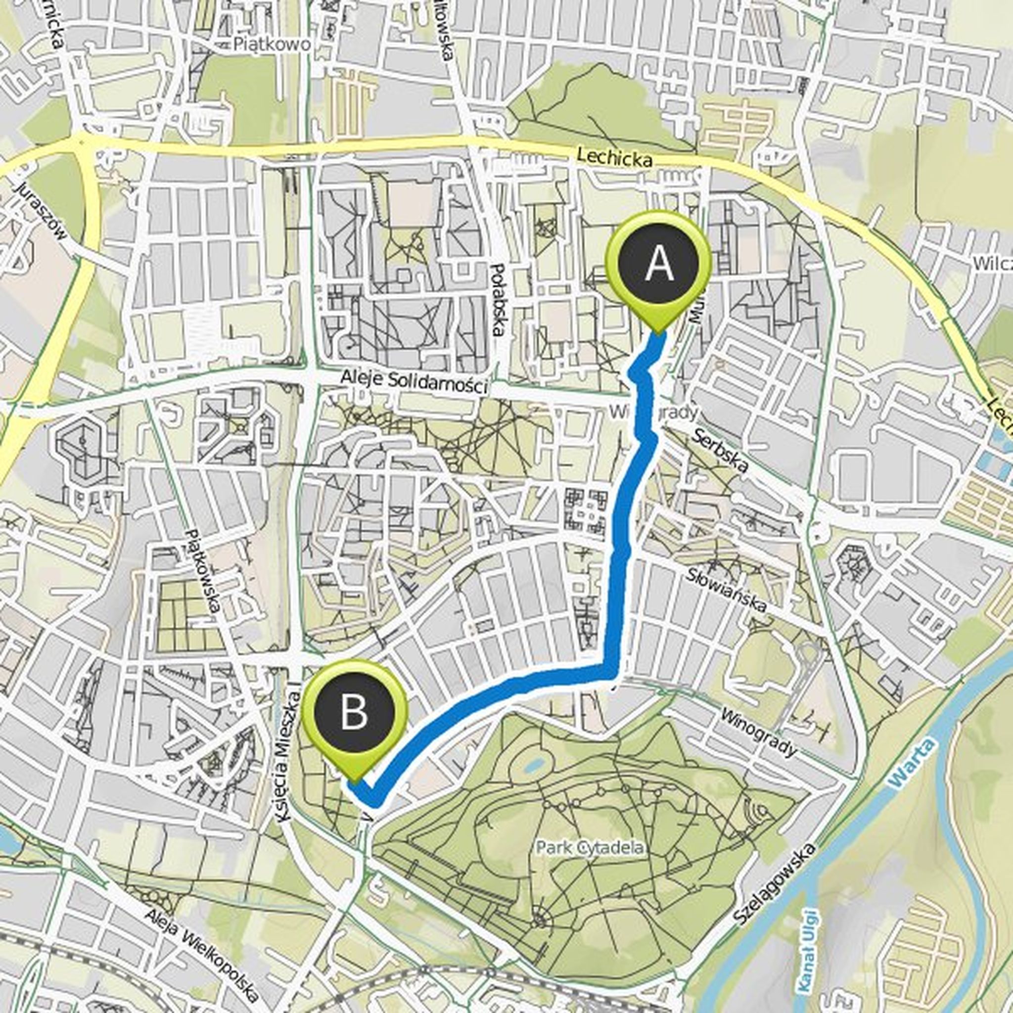
klaus.veh and Johannes Courtial planned a bike ride
August 1, 2019
Time
0h58m
Distance
15.3km
Speed
15.8km/h
Ascent
60m
Descent
60m

Map data © OpenStreetMap contributors
klaus.veh planned a hike
February 5, 2019
Time
0h37m
Distance
2.44km
Speed
3.9km/h
Ascent
0m
Descent
20m
Map data © OpenStreetMap contributors

Time
1h55m
Distance
6.88km
Speed
3.6km/h
Ascent
130m
Descent
130m

Map data © OpenStreetMap contributors
Bernward likes this.
klaus.veh planned a hike
November 29, 2018
Time
1h56m
Distance
7.10km
Speed
3.7km/h
Ascent
110m
Descent
110m

Map data © OpenStreetMap contributors
klaus.veh planned a hike
November 11, 2018
Time
1h27m
Distance
4.91km
Speed
3.4km/h
Ascent
140m
Descent
160m

Map data © OpenStreetMap contributors
klaus.veh planned a hike
November 11, 2018
Time
2h20m
Distance
8.46km
Speed
3.6km/h
Ascent
140m
Descent
150m

Map data © OpenStreetMap contributors
February 1, 2019
Not bad👍, some will groan over the slopes. 😄 I would definitely graduate in the sharp corner or Sonnenberg.
Translated by Google •