Timeline
Robert von Langen planned a road ride
July 4, 2020
Time
3h05m
Distance
63.7km
Speed
20.6km/h
Ascent
370m
Descent
350m
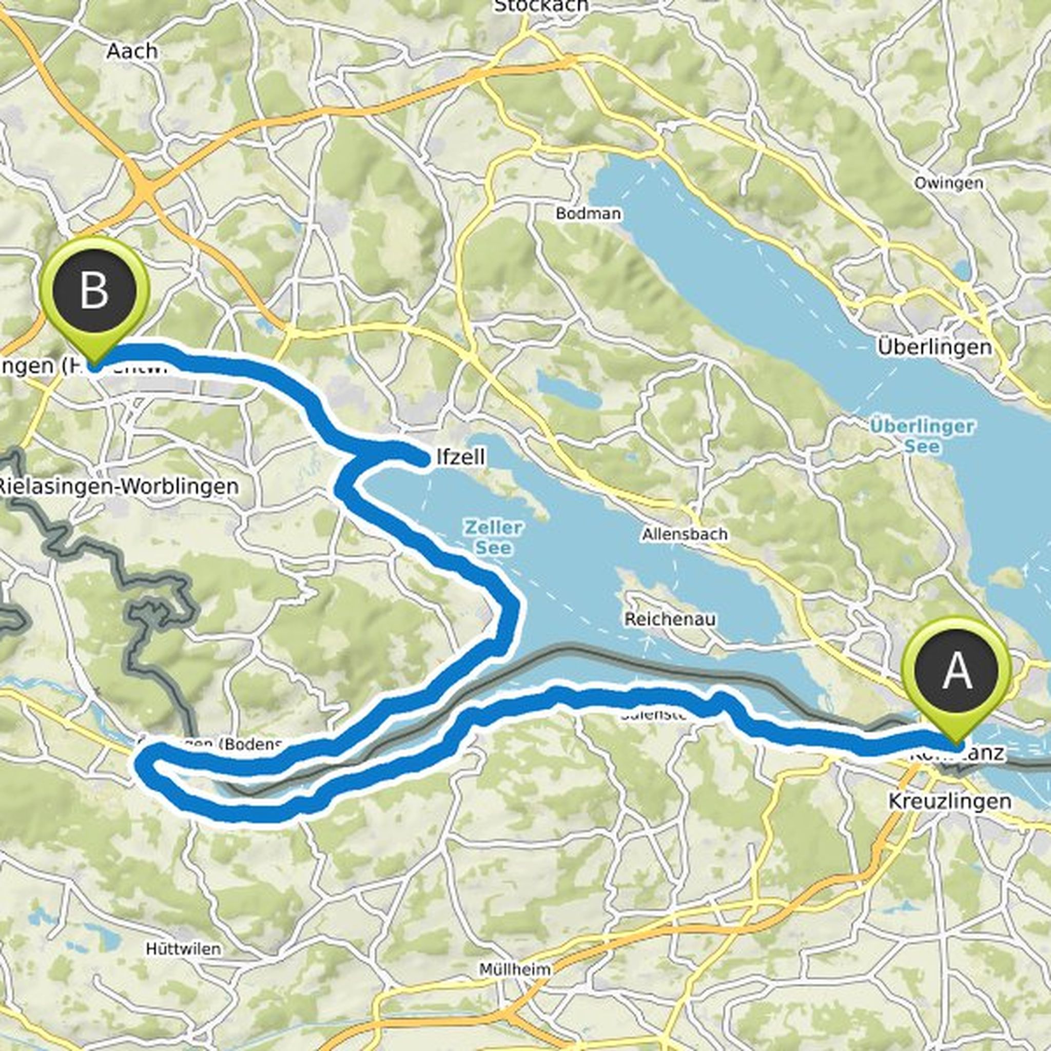
Map data © OpenStreetMap contributors
Robert von Langen planned a road ride
July 4, 2020
Time
5h54m
Distance
107km
Speed
18.1km/h
Ascent
210m
Descent
220m
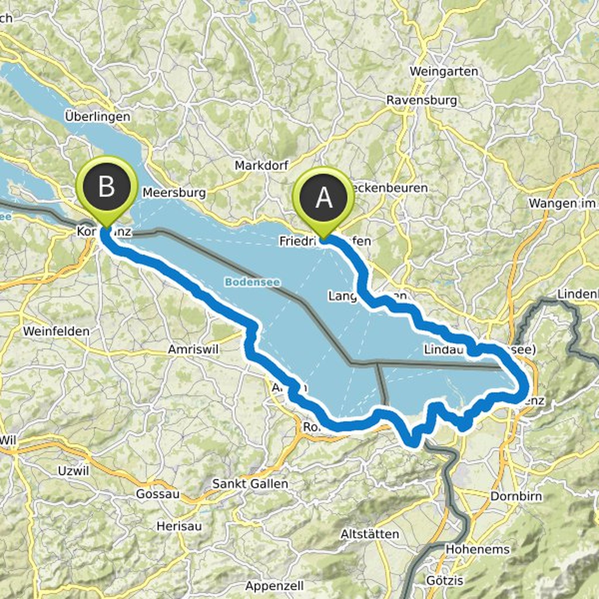
Map data © OpenStreetMap contributors
Robert von Langen planned a road ride
July 4, 2020
Time
5h37m
Distance
118km
Speed
21.0km/h
Ascent
640m
Descent
670m
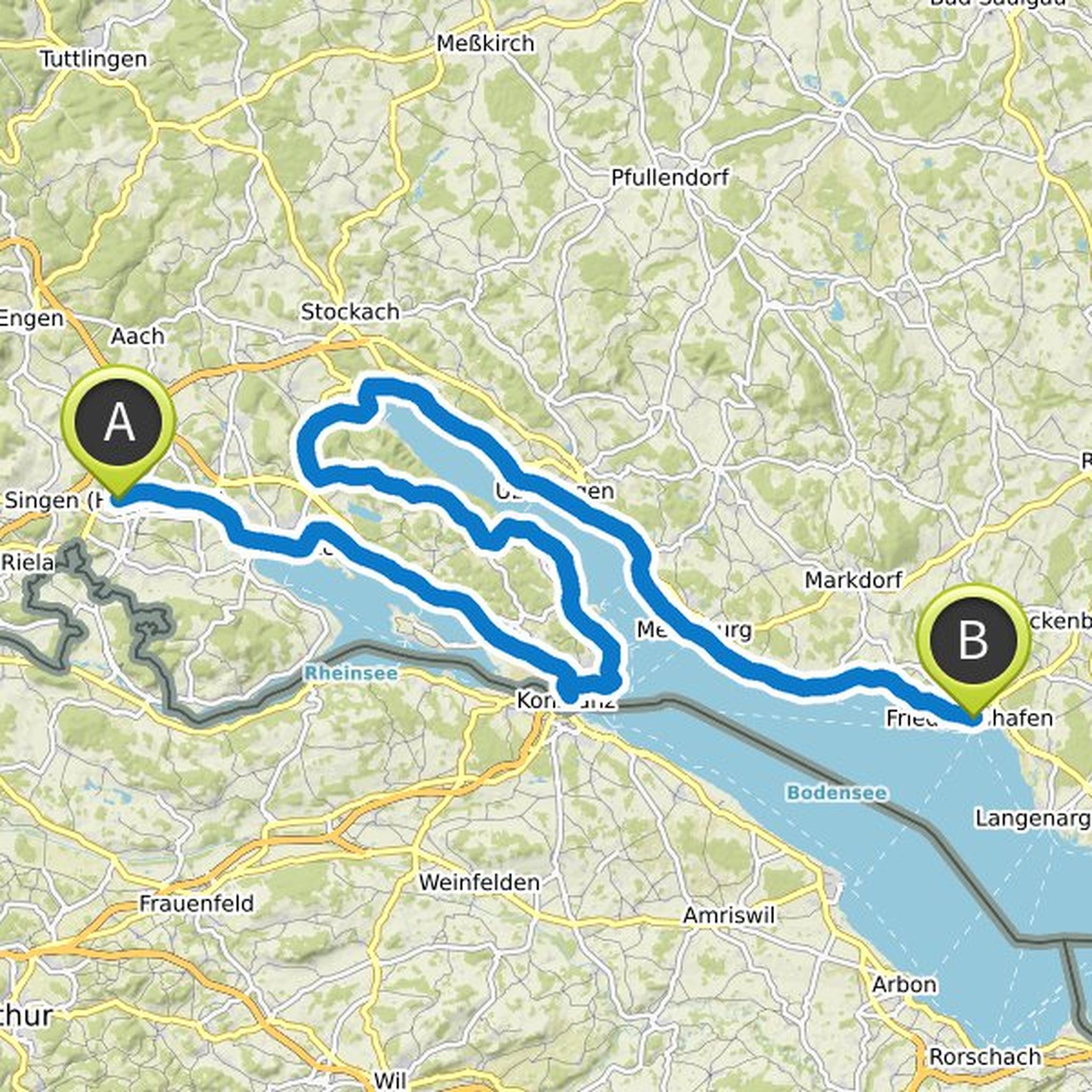
Map data © OpenStreetMap contributors
Robert von Langen planned a road ride
March 22, 2020
Time
1h08m
Distance
24.8km
Speed
22.0km/h
Ascent
240m
Descent
400m
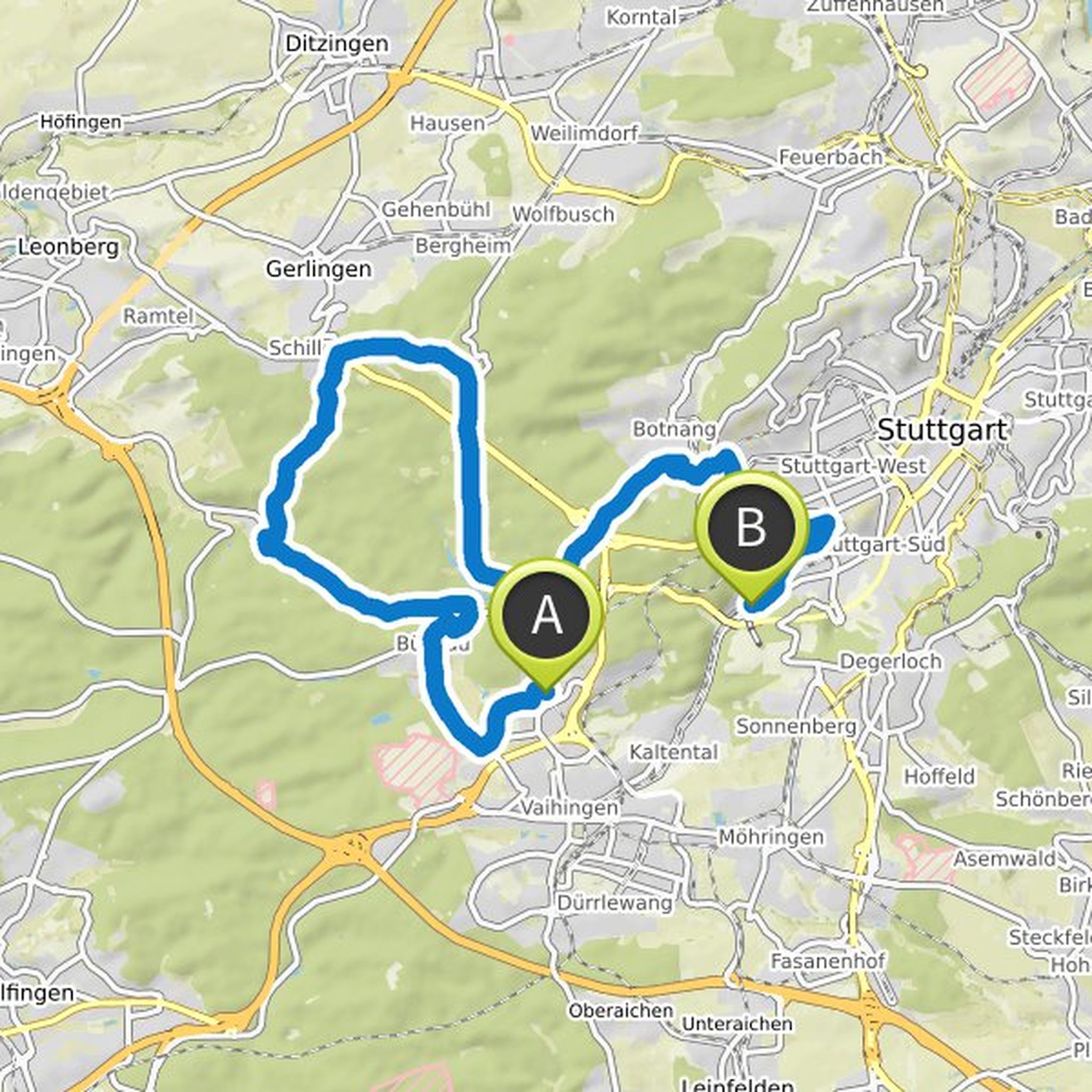
Map data © OpenStreetMap contributors
Robert von Langen and Christian Schmidberger planned a hike
October 20, 2019
Time
5h33m
Distance
18.0km
Speed
3.2km/h
Ascent
580m
Descent
570m
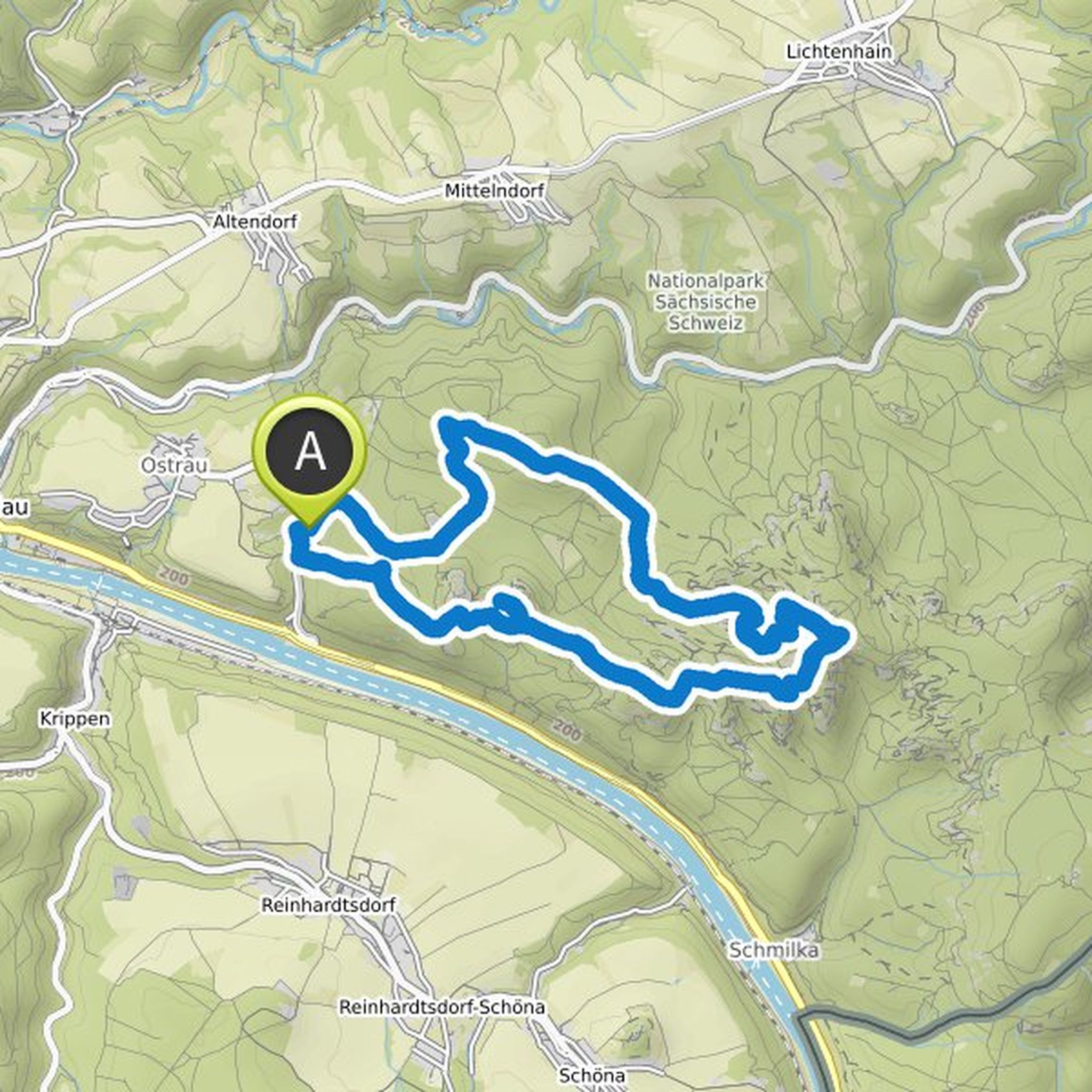
Map data © OpenStreetMap contributors
October 20, 2019
- S1 direction: Bad Schandau National Park Station
- 44 min from Dresden Hbf
- 6,50 €
Translated by Google •
March 22, 2020
Start at S-Bahn "Universität", end at U-Bahn "Südheimer Platz"
Highlights:
- "shadow curve" (S curve behind Büsnau)
- Glems Valley (slightly curvy and flat)
- Krummbachtal (slightly uphill in the forest)
- Solitude Castle
- Bärensträßle (straight and wavy)
- Bärenschlössle
The track is often flat and has good
Translated by Google •