Timeline
Chris planned a hike
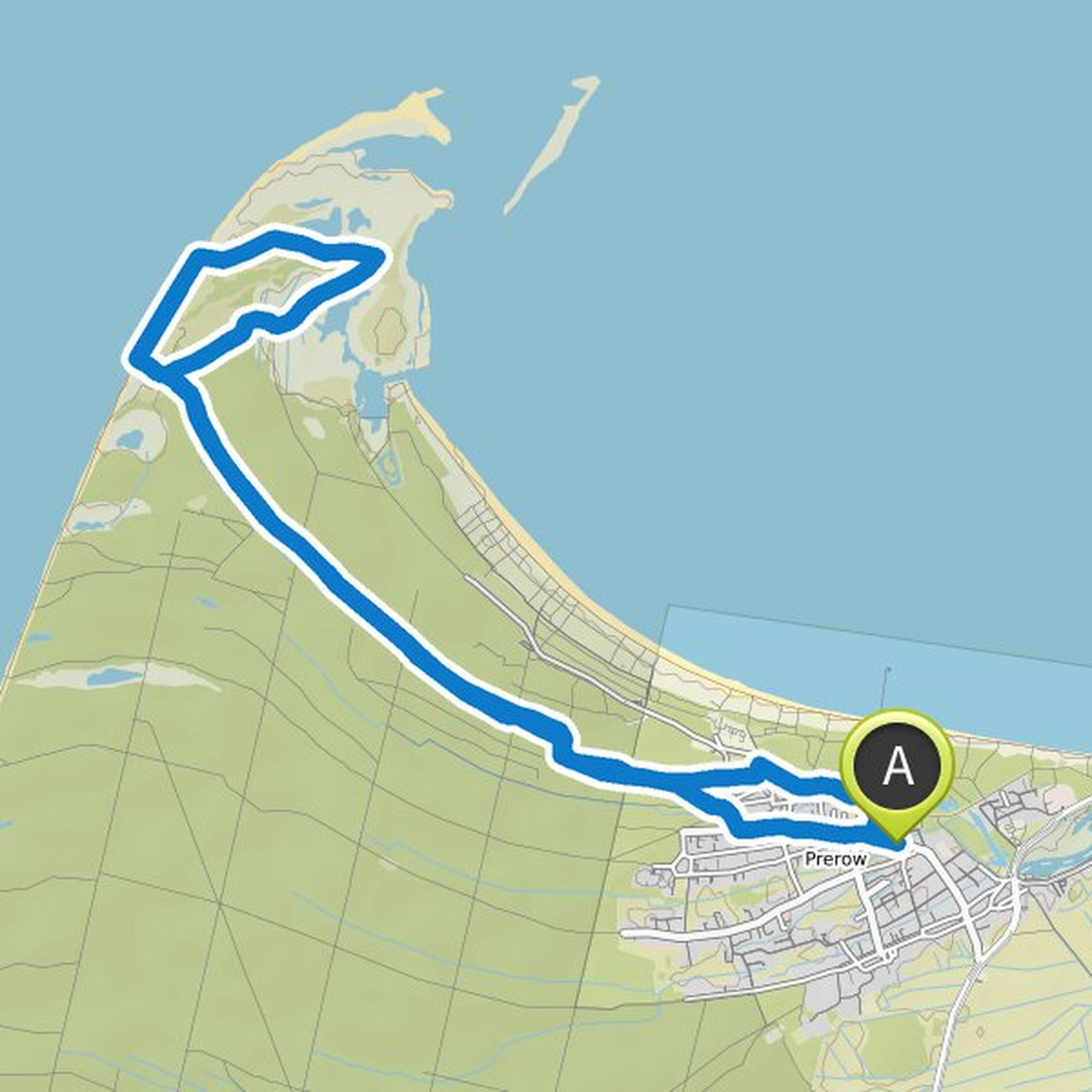
November 1, 2022
Time
Distance
Speed
Ascent
Descent
Chris planned a hike
June 17, 2022
Time
Distance
Speed
Ascent
Descent
Chris planned a hike
June 17, 2022
Time
Distance
Speed
Ascent
Descent
Chris planned a hike
June 17, 2022
Time
Distance
Speed
Ascent
Descent
Chris planned a hike
June 17, 2022
Time
Distance
Speed
Ascent
Descent
Chris planned a hike
June 17, 2022
Time
Distance
Speed
Ascent
Descent
Chris planned a hike
June 17, 2022
Time
Distance
Speed
Ascent
Descent
Chris planned a hike
June 17, 2022
Time
Distance
Speed
Ascent
Descent
Chris planned a hike
June 17, 2022
Time
Distance
Speed
Ascent
Descent
Chris planned a hike
May 21, 2022
Time
Distance
Speed
Ascent
Descent
Chris planned a hike
May 21, 2022
Time
Distance
Speed
Ascent
Descent
Chris planned a hike
March 27, 2022
Time
Distance
Speed
Ascent
Descent
Chris planned a hike
October 11, 2021
Time
Distance
Speed
Ascent
Descent
Chris planned a hike
October 11, 2021
Time
Distance
Speed
Ascent
Descent

Chris planned a hike
June 10, 2021
Time
Distance
Speed
Ascent
Descent
