Timeline
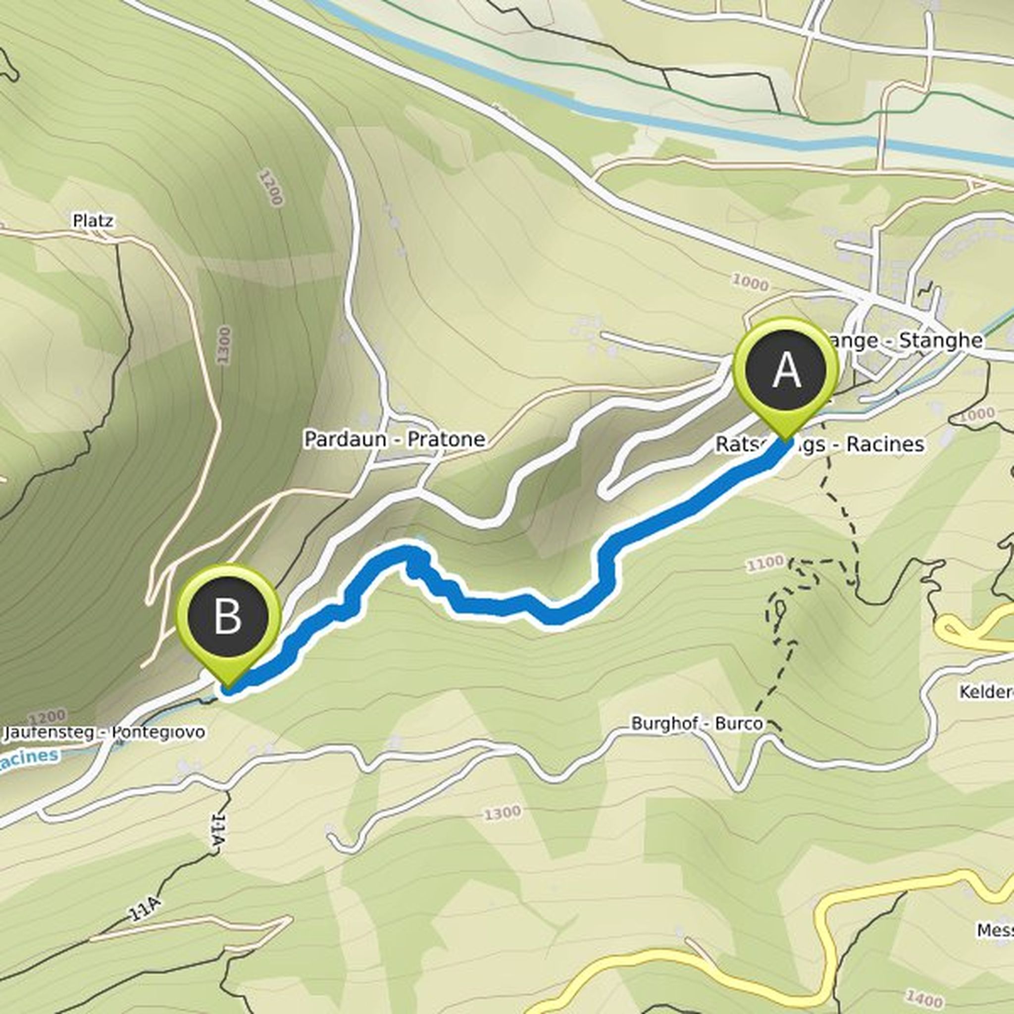
Ronald planned a hike
July 7, 2019
Time
0h38m
Distance
1.55km
Speed
2.4km/h
Ascent
140m
Map data © OpenStreetMap contributors
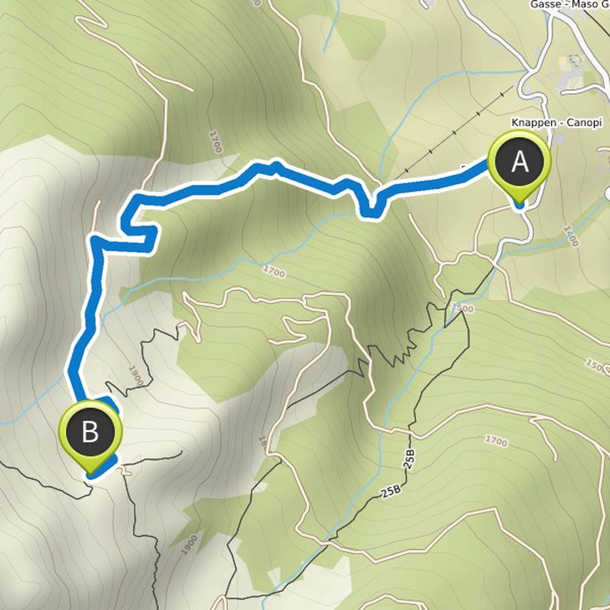
Ronald planned a hike
July 5, 2019
Time
1h28m
Distance
2.94km
Speed
2.0km/h
Ascent
560m
Map data © OpenStreetMap contributors
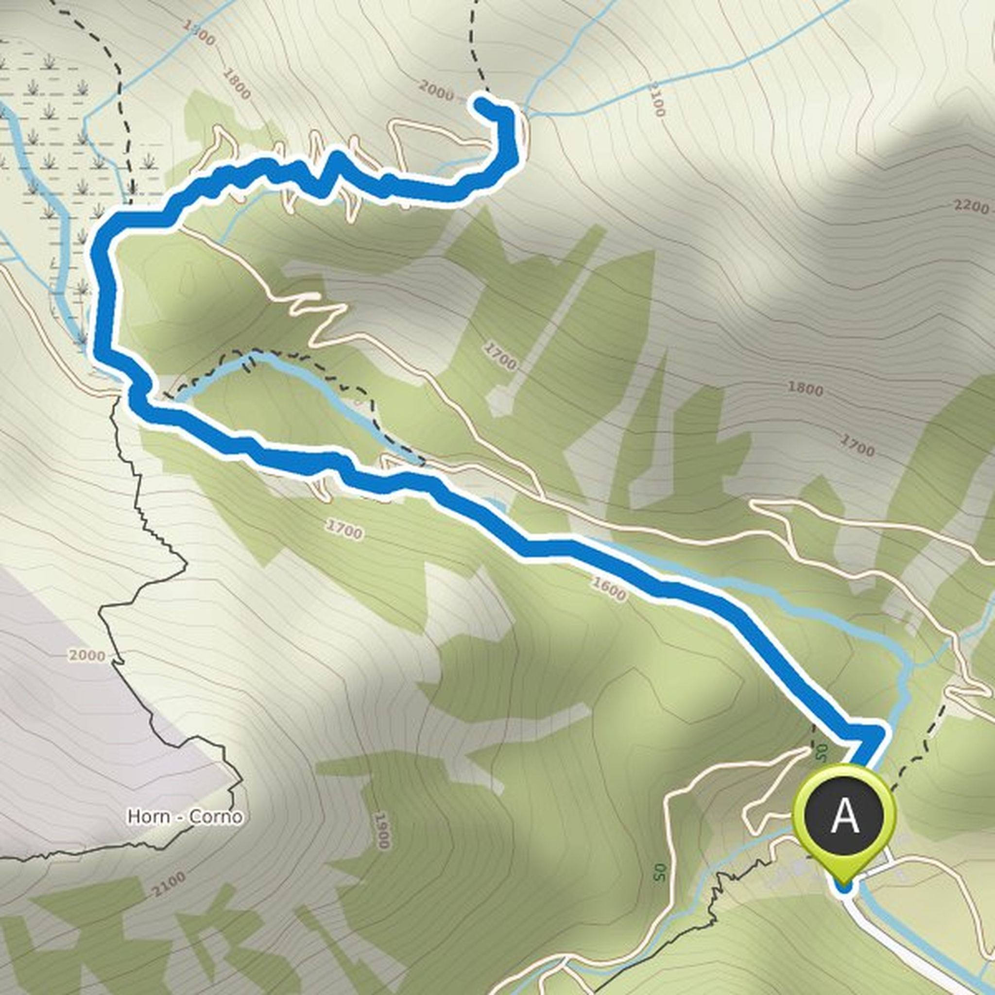
Ronald planned a hike
October 31, 2018
Time
1h20m
Distance
5.17km
Speed
3.9km/h
Ascent
30m
Descent
30m
Map data © OpenStreetMap contributors
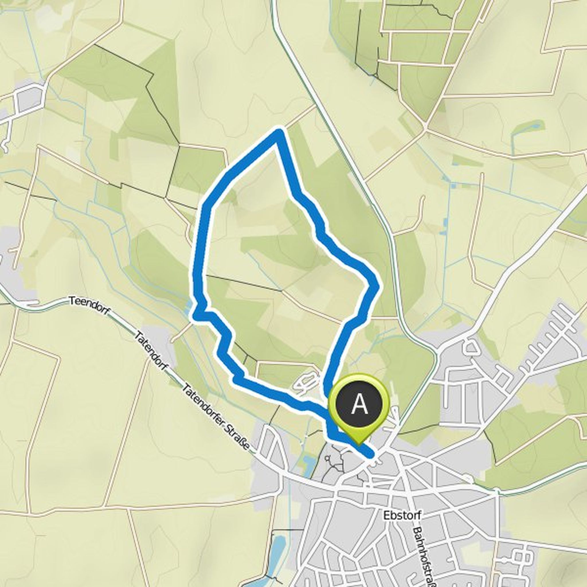
Ronald planned a hike
January 10, 2018
Time
2h28m
Distance
7.84km
Speed
3.2km/h
Ascent
290m
Descent
280m
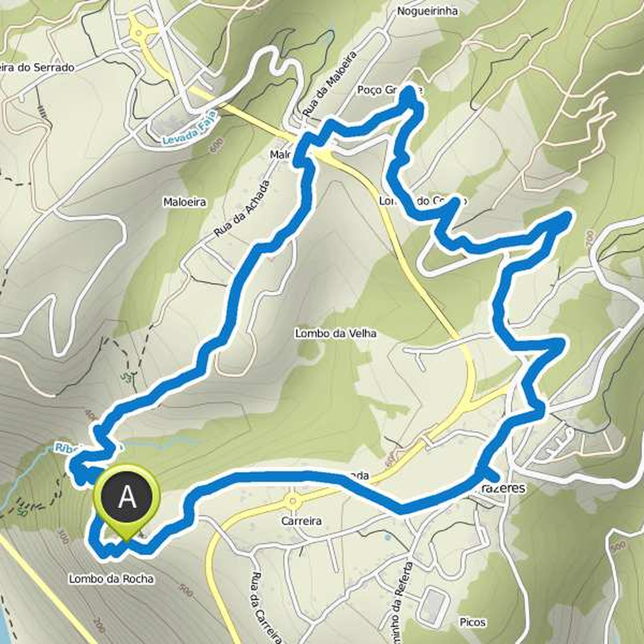
Map data © OpenStreetMap contributors
July 5, 2019
From Ridnauner Talschluss (1417 m, here parking, the former ore processing, the museum and other
Buildings of the former mine at the Schneeberg) on way 9 right up and the Fernerbach along only
moderately rising valley to the far Senner or Aglsboden (about 1700 m, in the background of the soil the
Translated by Google •