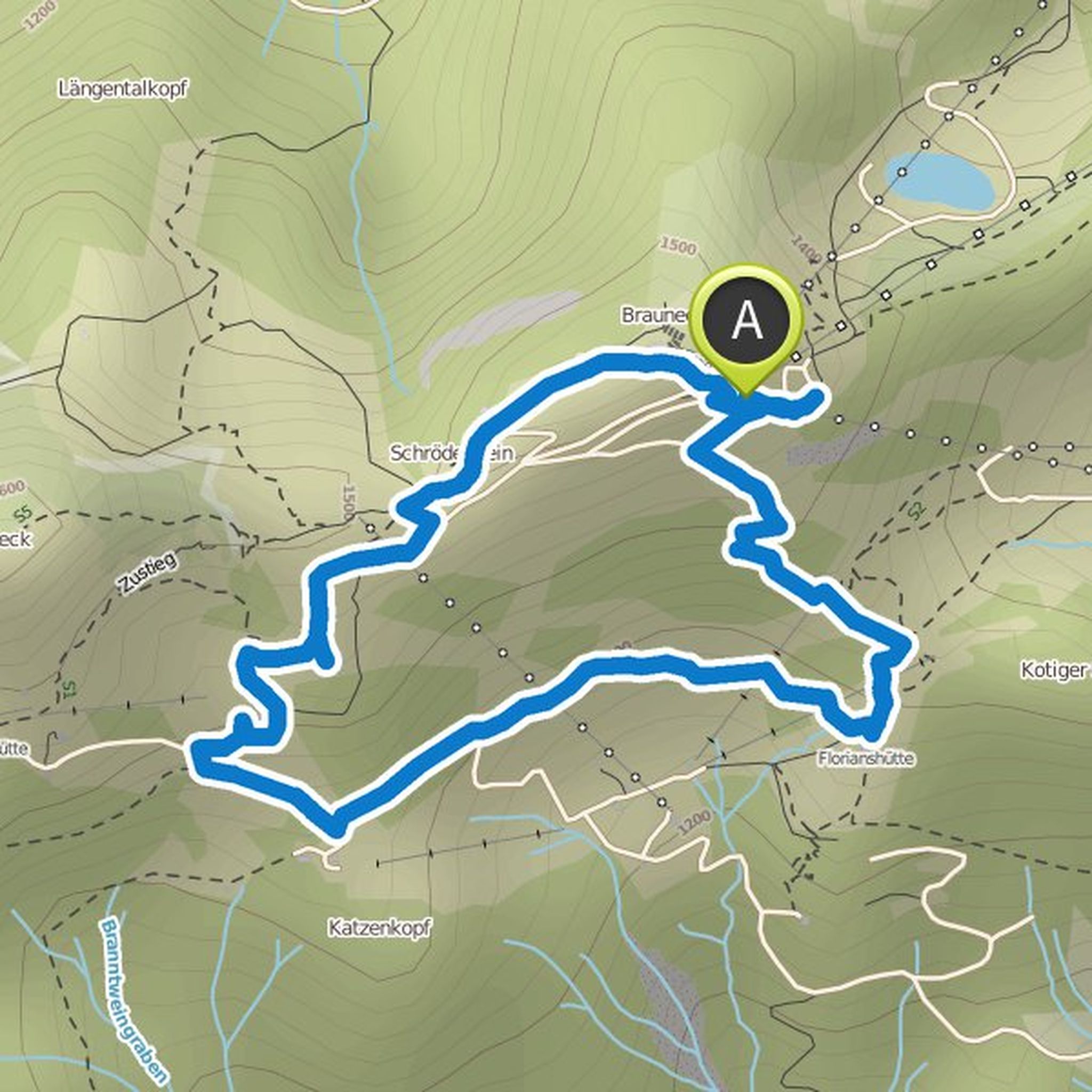
Timeline
Stephanie Koch planned a hike
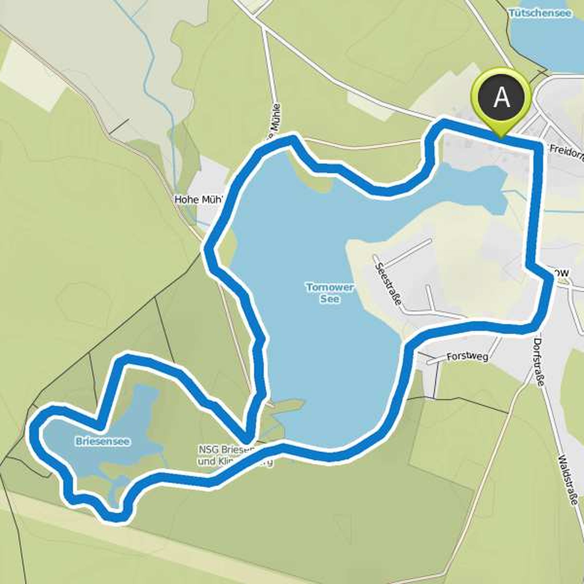
August 6, 2022
Time
Distance
Speed
Ascent
Descent
Stephanie Koch planned a hike
August 6, 2022
Time
Distance
Speed
Ascent
Descent
Stephanie Koch planned a hike
August 6, 2022
Time
Distance
Speed
Ascent
Descent
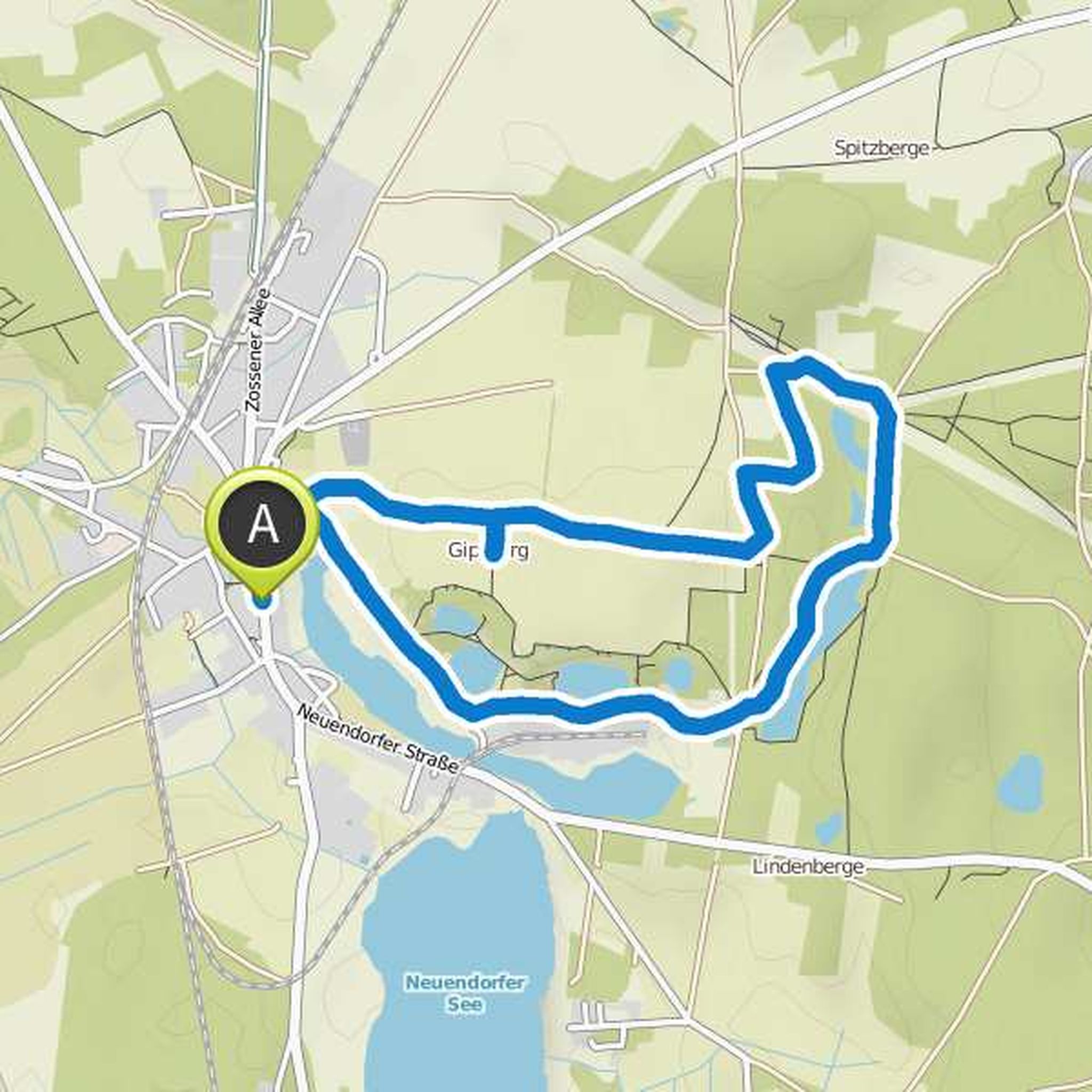
Stephanie Koch planned a hike
August 6, 2022
Time
Distance
Speed
Ascent
Descent
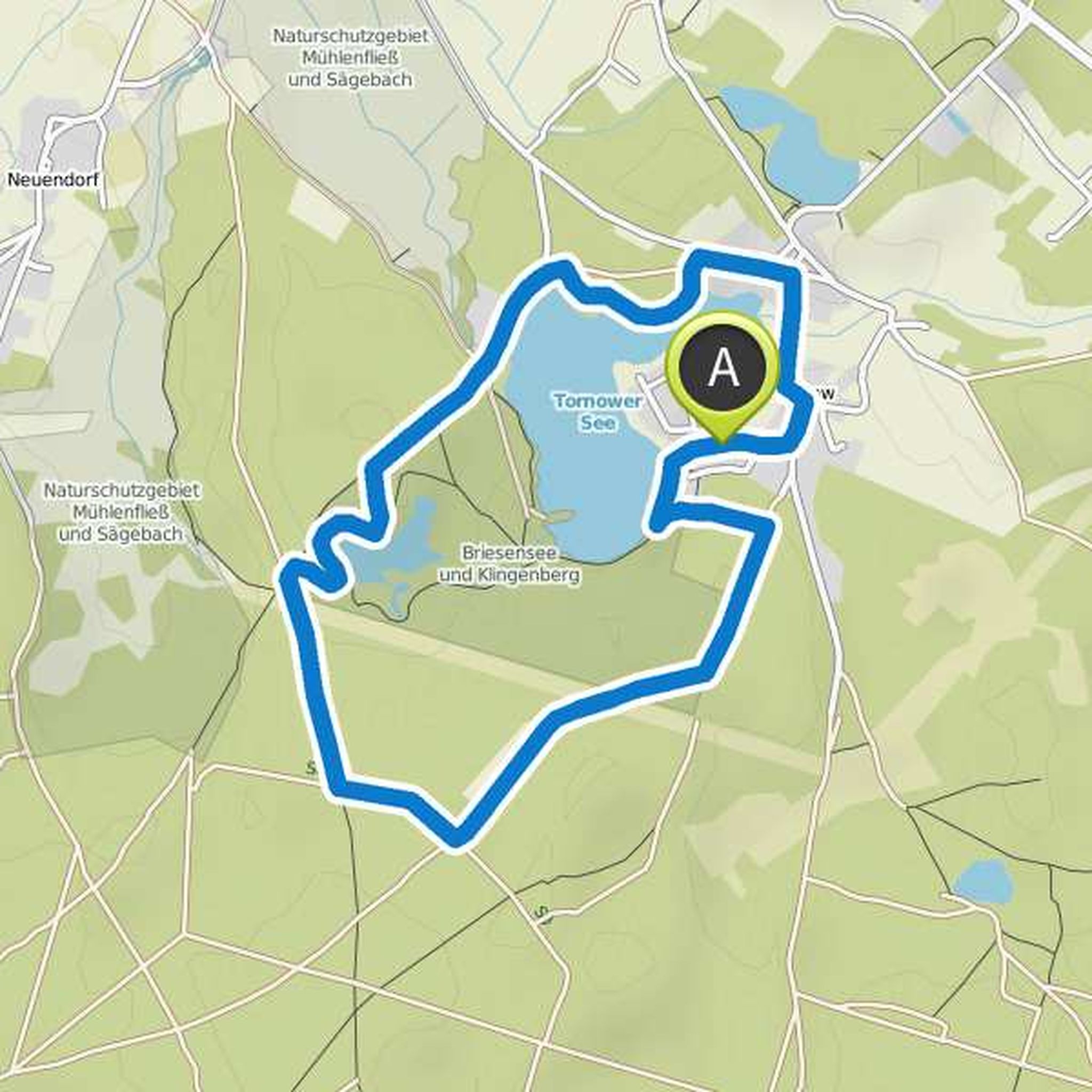
Stephanie Koch planned a hike
August 6, 2022
Time
Distance
Speed
Ascent
Descent
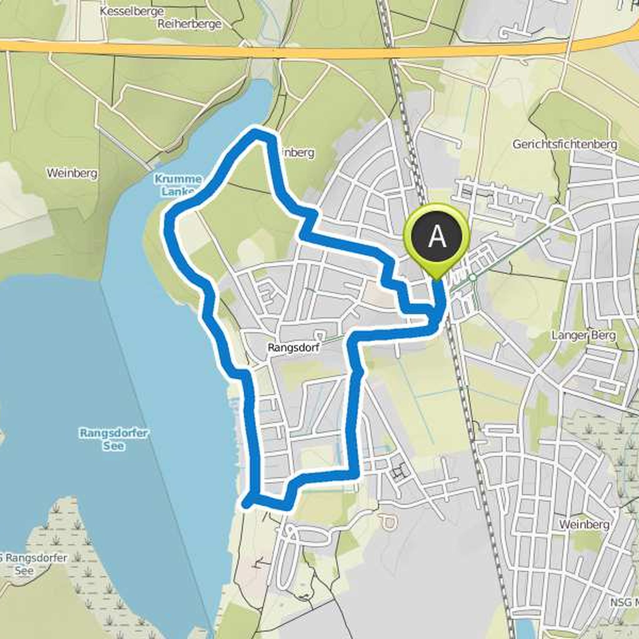
Stephanie Koch planned a hike
August 6, 2022
Time
Distance
Speed
Ascent
Descent
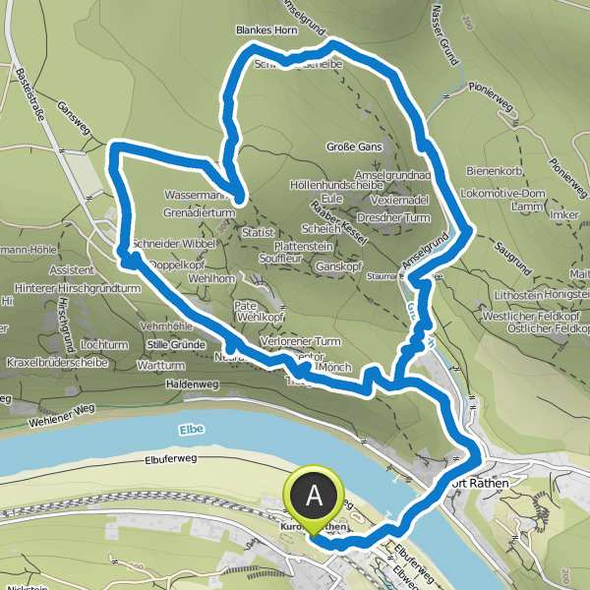
Stephanie Koch planned a hike
July 30, 2022
Time
Distance
Speed
Ascent
Descent
Stephanie Koch planned a hike
August 16, 2018
Time
Distance
Speed
Ascent
Descent
Stephanie Koch planned a hike
August 15, 2018
Time
Distance
Speed
Ascent
Descent
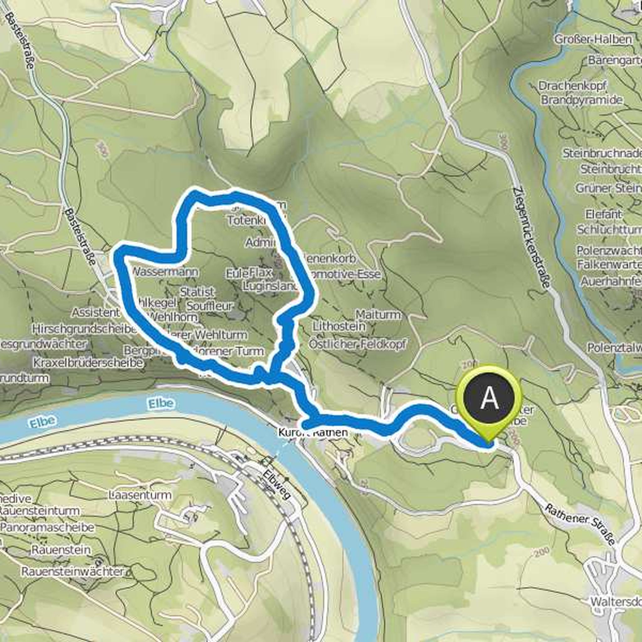
Stephanie Koch planned a hike
April 25, 2018
Time
Distance
Speed
Ascent
Descent
Stephanie Koch and Nikolaus planned a hike
February 4, 2018
Time
Distance
Speed
Ascent
Descent
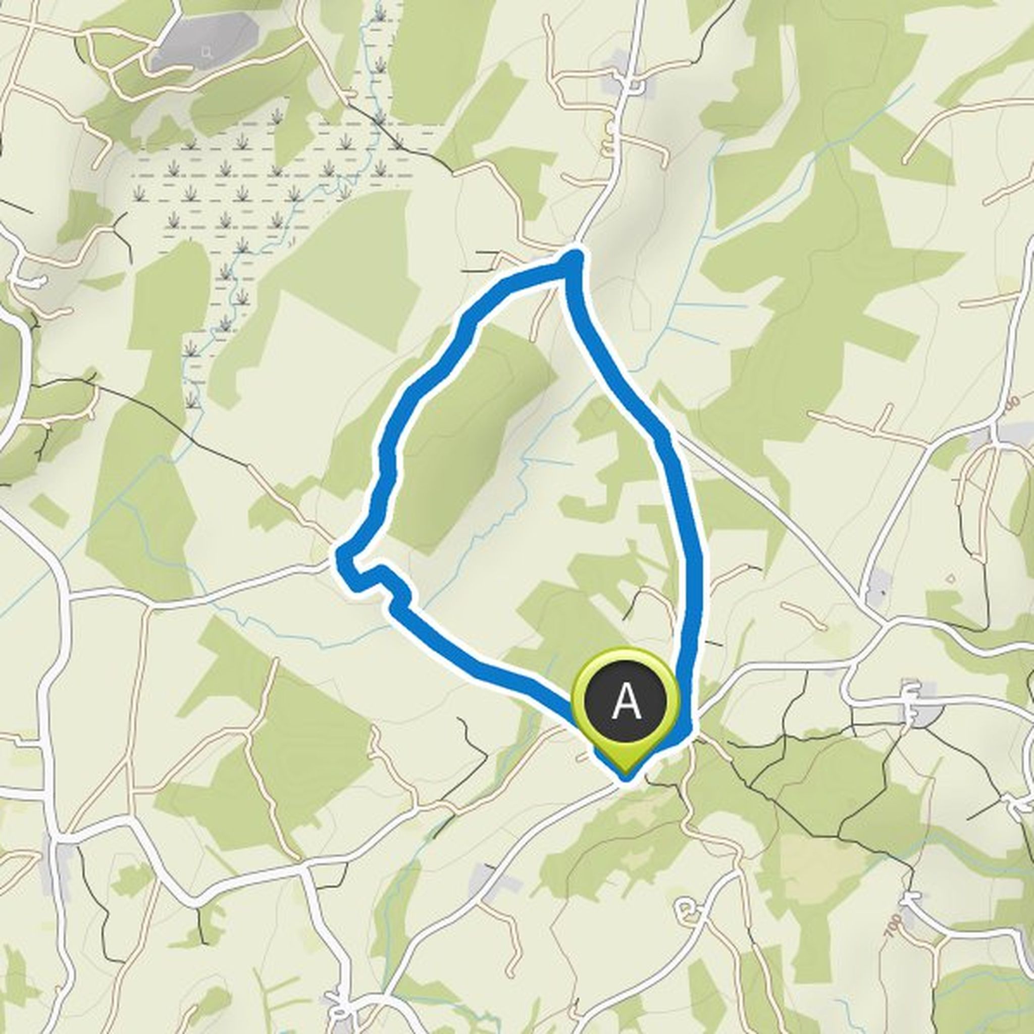
Stephanie Koch planned a hike
December 29, 2017
Time
Distance
Speed
Ascent
Descent
Stephanie Koch planned a hike
December 29, 2017
Time
Distance
Speed
Ascent
Descent
truemarmalade likes this.
Stephanie Koch planned a hike
December 29, 2017
Time
Distance
Speed
Ascent
Descent
Stephanie Koch planned a hike
December 28, 2017
Time
Distance
Speed
Ascent
Descent