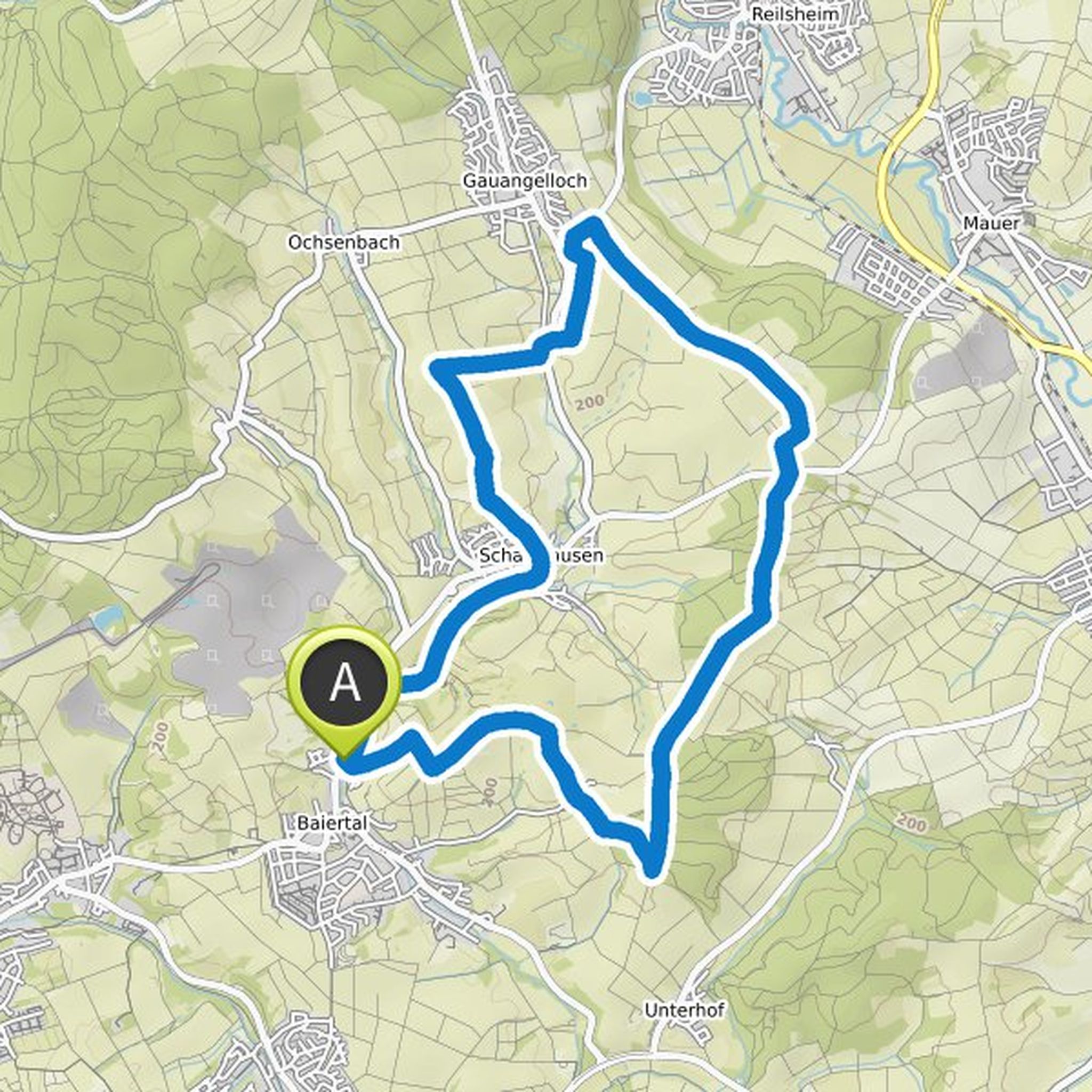
Timeline
AZ planned a hike
February 11, 2024
Time
Distance
Speed
Ascent
Descent
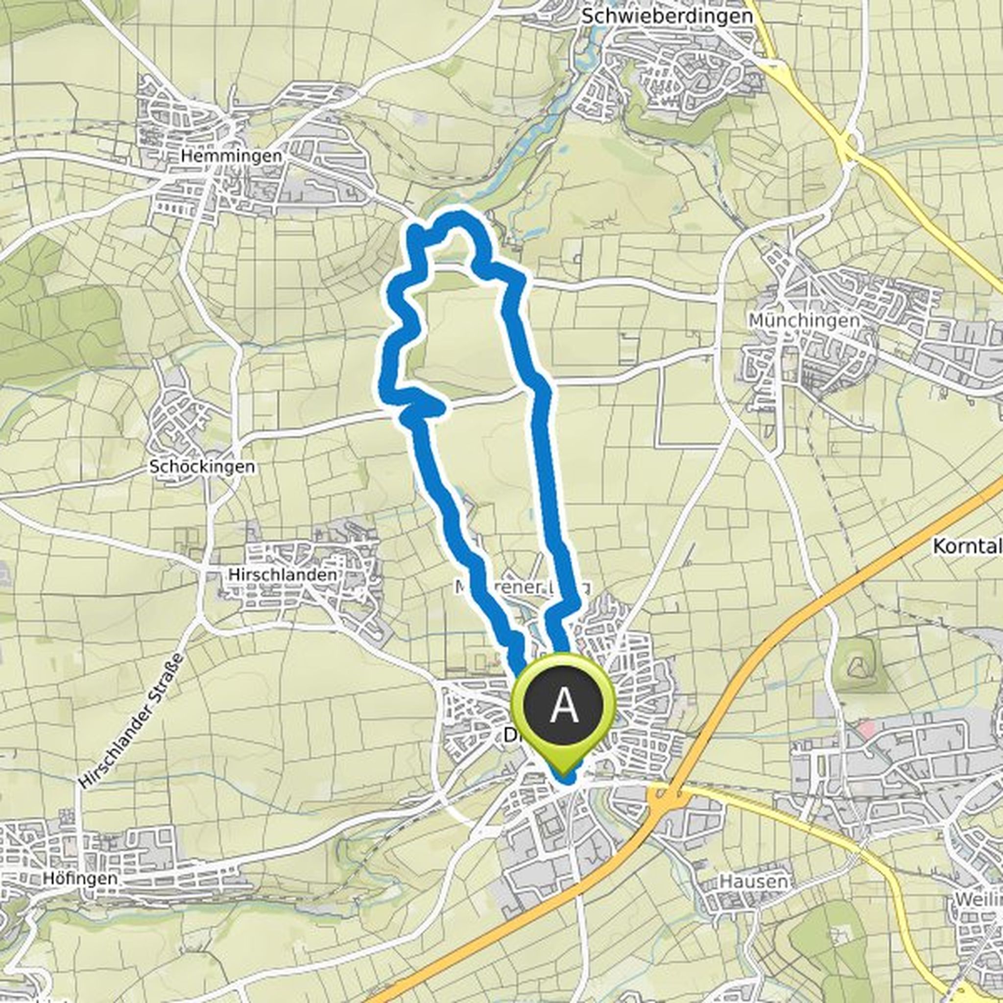
AZ planned a hike
February 11, 2024
Time
Distance
Speed
Ascent
Descent
AZ planned a hike
October 29, 2022
Time
Distance
Speed
Ascent
Descent
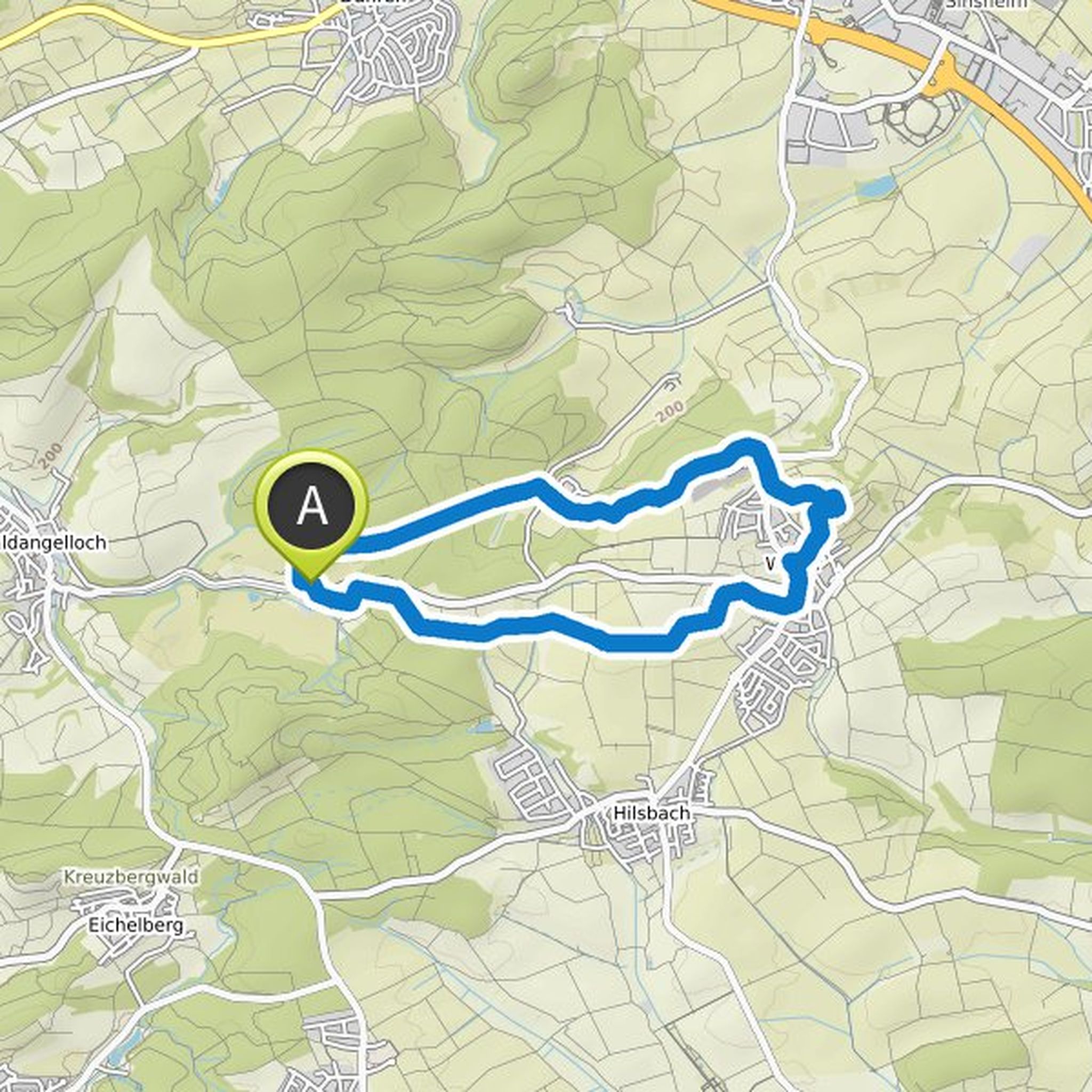
AZ planned a hike
October 29, 2022
Time
Distance
Speed
Ascent
Descent
AZ planned a hike
February 9, 2022
Time
Distance
Speed
Ascent
Descent

AZ planned a hike
February 9, 2022
Time
Distance
Speed
Ascent
Descent

AZ planned a hike
February 9, 2022
Time
Distance
Speed
Ascent
Descent

AZ planned a hike
February 9, 2022
Time
Distance
Speed
Ascent
Descent

AZ planned a hike
February 9, 2022
Time
Distance
Speed
Ascent
Descent
AZ planned a hike
February 1, 2022
Time
Distance
Speed
Ascent
Descent
AZ planned a hike
December 25, 2021
Time
Distance
Speed
Ascent
Descent
AZ planned a hike
December 25, 2021
Time
Distance
Speed
Ascent
Descent

AZ planned a hike
December 25, 2021
Time
Distance
Speed
Ascent
Descent
