Timeline
Andreas Hosp and Peter planned a road ride
March 26, 2026
Time
Distance
Speed
Ascent
Descent
Andreas Hosp and Peter planned a road ride
March 23, 2026
Time
Distance
Speed
Ascent
Descent
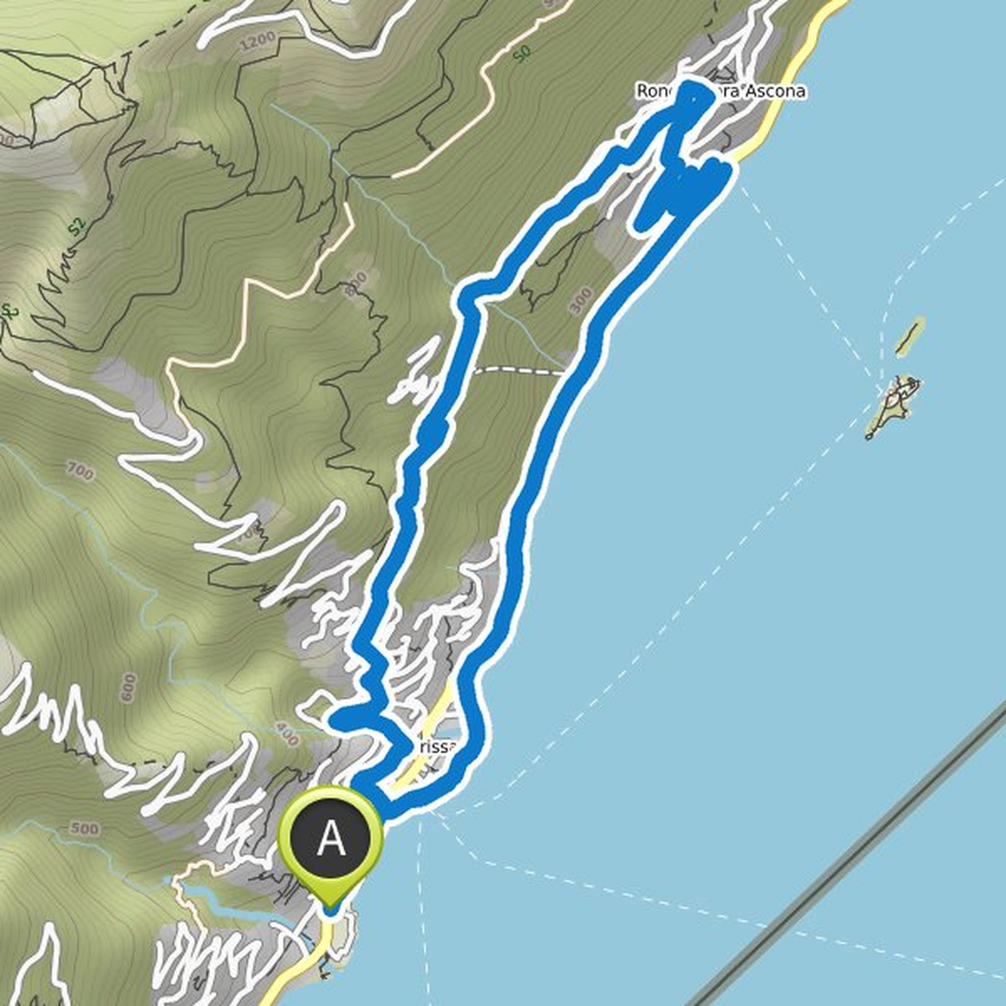
Andreas Hosp planned a road ride
March 19, 2026
Time
Distance
Speed
Ascent
Descent
Andreas Hosp planned a run
August 2, 2025
Time
Distance
Pace
Ascent
Descent
Andreas Hosp planned a run
May 5, 2025
Time
Distance
Pace
Ascent
Descent
Andreas Hosp planned a road ride
May 15, 2023
Time
Distance
Speed
Ascent
Descent
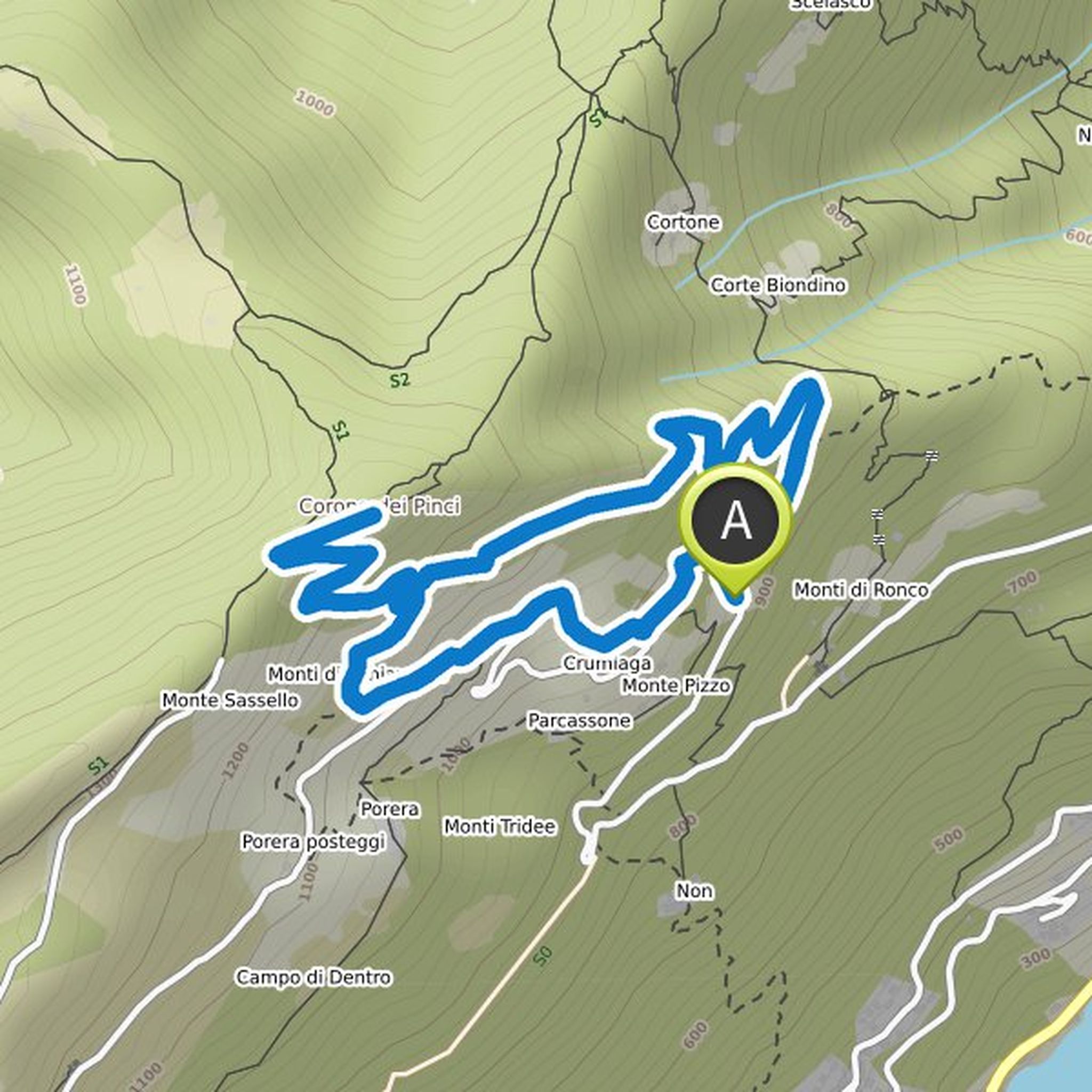
Andreas Hosp planned a hike
May 17, 2022
Time
Distance
Speed
Ascent
Descent
Andreas Hosp planned a hike
May 17, 2022
Time
Distance
Speed
Ascent
Descent
Andreas Hosp planned a hike
May 16, 2022
Time
Distance
Speed
Ascent
Descent
Andreas Hosp planned a hike
February 23, 2022
Time
Distance
Speed
Ascent
Descent
Andreas Hosp planned a hike
October 31, 2021
Time
Distance
Speed
Ascent
Descent
Andreas Hosp planned a hike
September 16, 2021
Time
Distance
Speed
Ascent
Descent
Andreas Hosp planned a hike
September 15, 2021
Time
Distance
Speed
Ascent
Descent
Andreas Hosp planned a hike
September 15, 2021
Time
Distance
Speed
Ascent
Descent
Andreas Hosp planned a hike
September 15, 2021
Time
Distance
Speed
Ascent
Descent
May 17, 2022
This route is not recommended. No reasonable hiking trails and impossible to manage without a cell phone.
Translated by Google •