Timeline
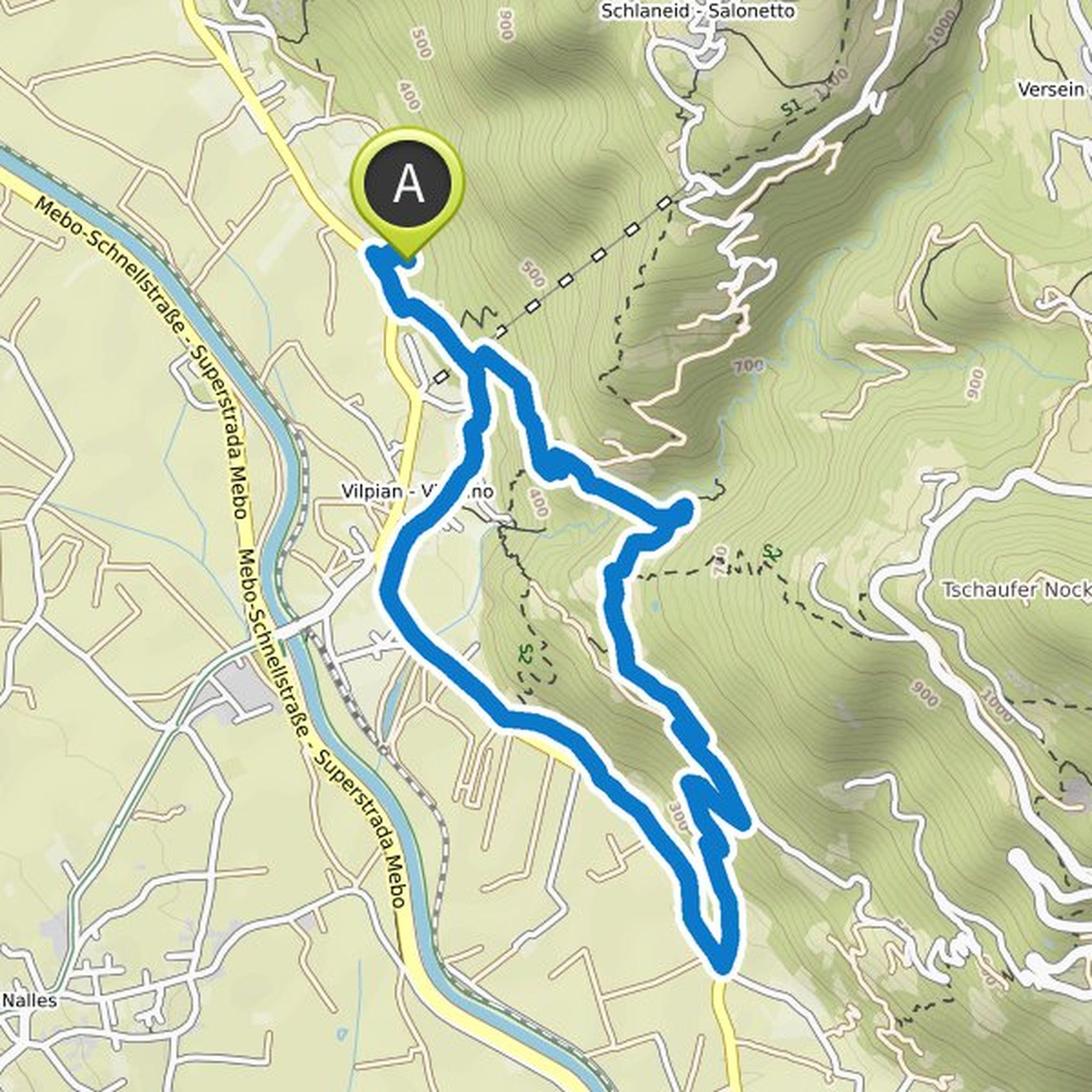
Andreas planned a hike
August 30, 2022
Time
Distance
Speed
Ascent
Descent
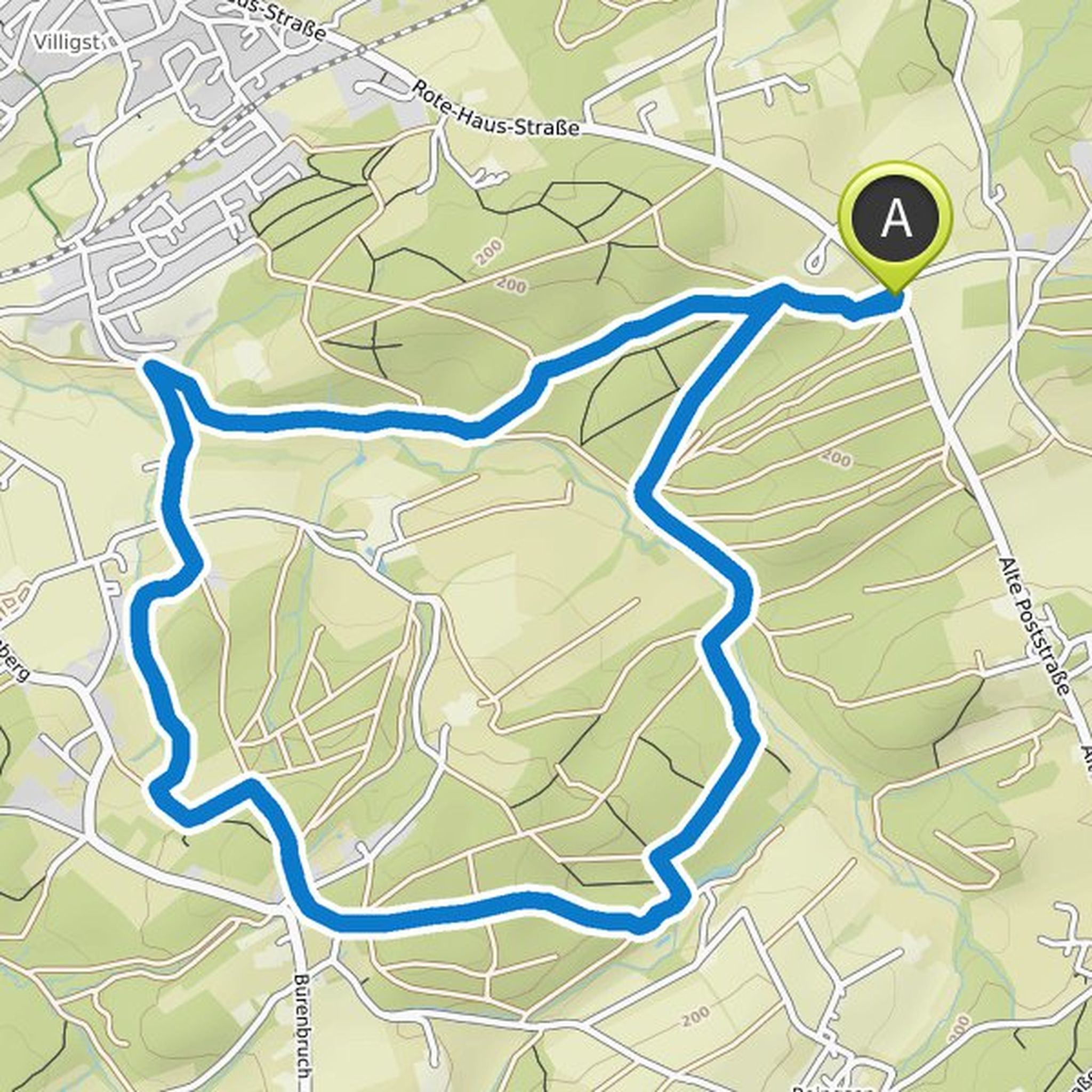
Andreas planned a hike
August 24, 2022
Time
Distance
Speed
Ascent
Descent
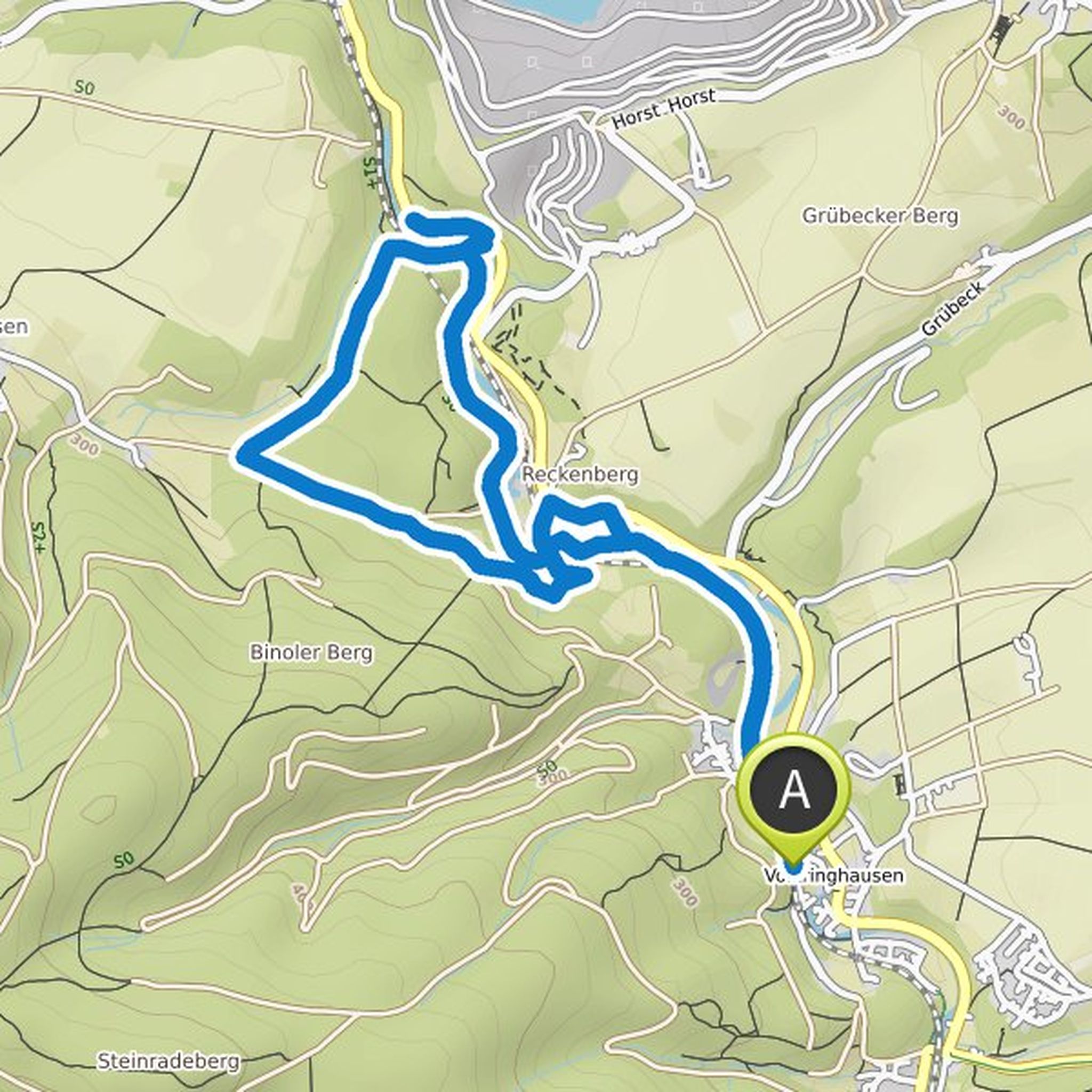
Andreas planned a hike
August 21, 2022
Time
Distance
Speed
Ascent
Descent
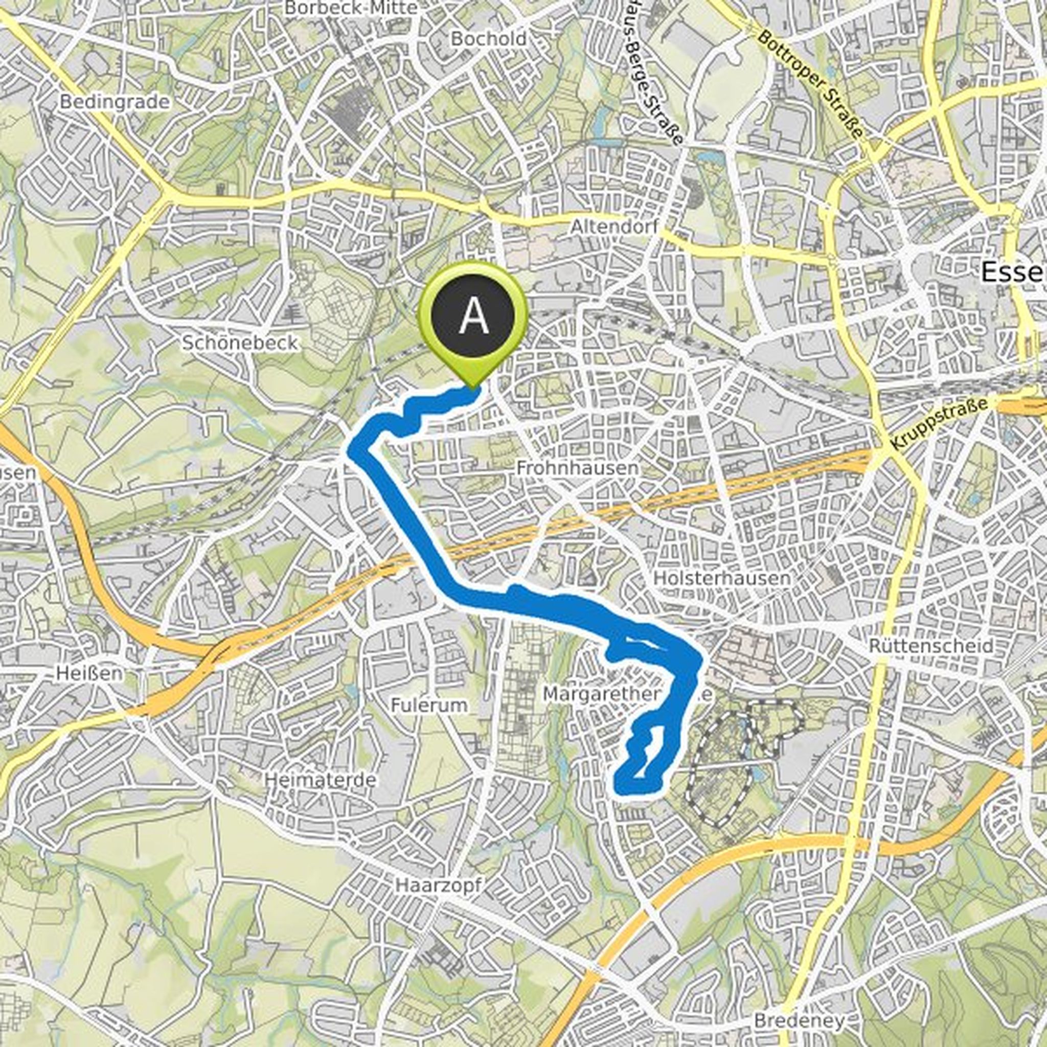
Andreas planned a hike
June 9, 2022
Time
Distance
Speed
Ascent
Descent
Andreas planned a hike
June 9, 2022
Time
Distance
Speed
Ascent
Descent
Andreas planned a hike
June 9, 2022
Time
Distance
Speed
Ascent
Descent
Andreas planned a hike
June 9, 2022
Time
Distance
Speed
Ascent
Descent
Andreas planned a hike
June 9, 2022
Time
Distance
Speed
Ascent
Descent
Andreas planned a hike
June 8, 2022
Time
Distance
Speed
Ascent
Descent
Andreas planned a hike
June 8, 2022
Time
Distance
Speed
Ascent
Descent
Andreas planned a hike
June 8, 2022
Time
Distance
Speed
Ascent
Descent
Andreas planned a hike
February 1, 2022
Time
Distance
Speed
Ascent
Descent
Andreas planned a hike
January 29, 2022
Time
Distance
Speed
Ascent
Descent
Time
Distance
Speed
Ascent
Descent
Andreas planned a hike
October 6, 2021
Time
Distance
Speed
Ascent
Descent