Timeline
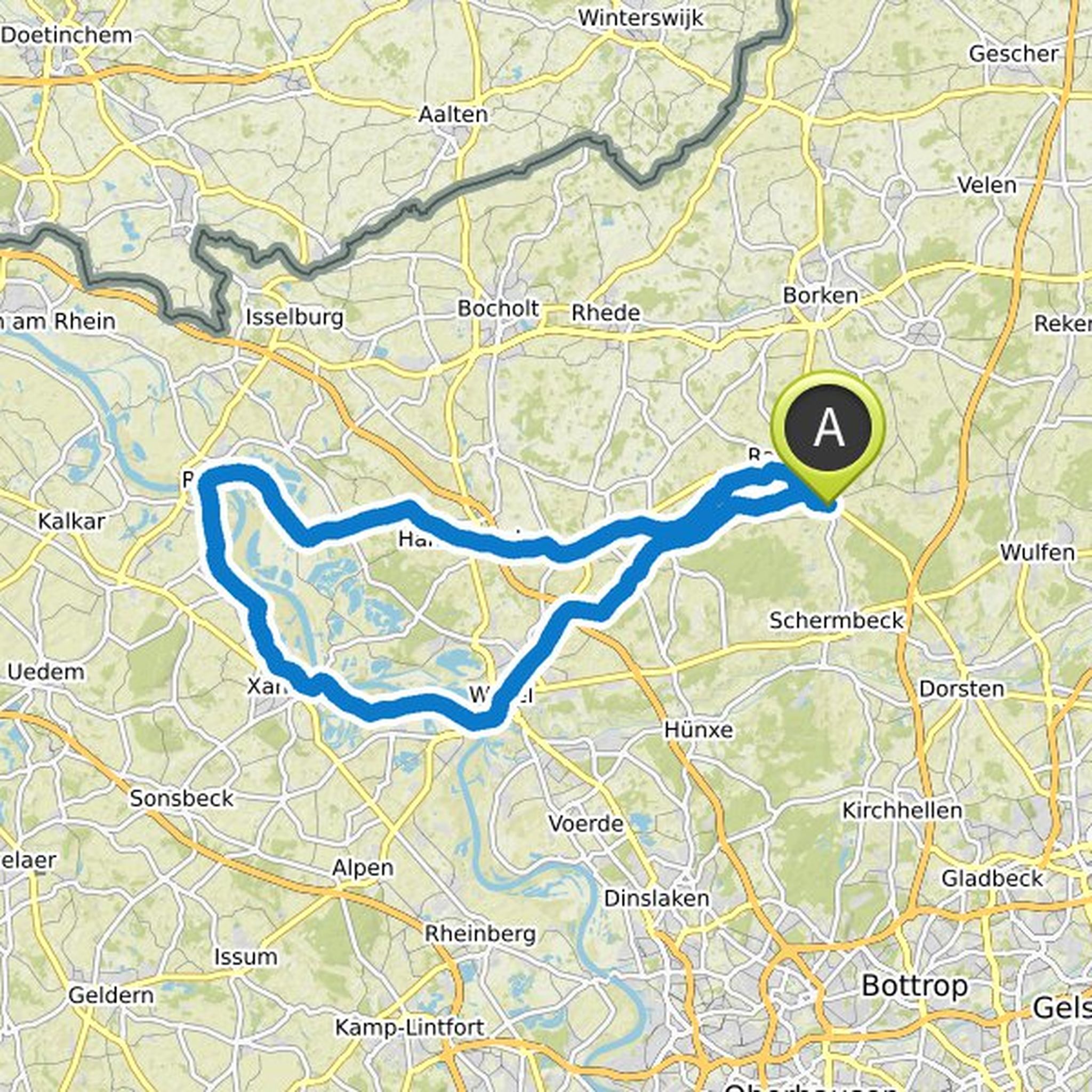
Lausi planned a bike ride
August 7, 2024
Time
25h59m
Distance
432km
Speed
16.6km/h
Ascent
970m
Descent
970m
Map data © OpenStreetMap contributors
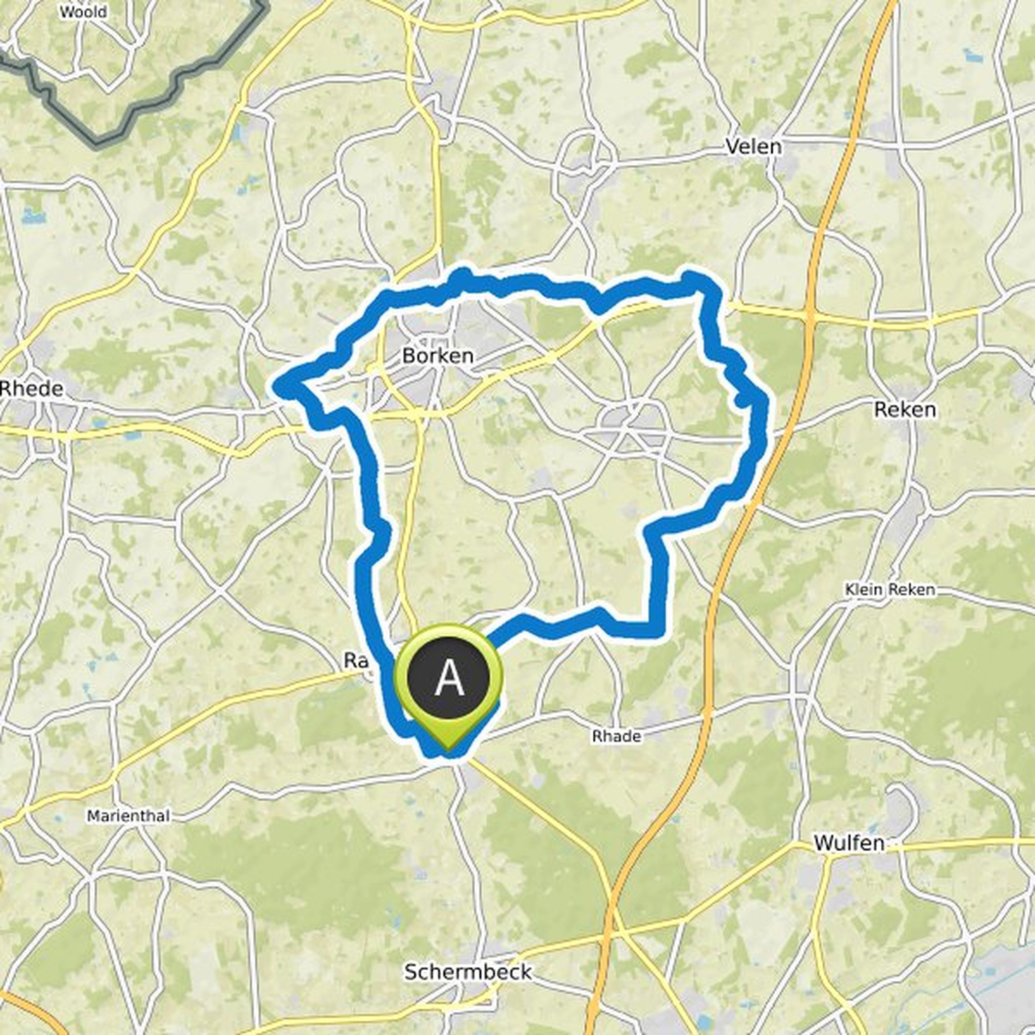
Lausi planned a bike ride
October 20, 2021
Time
4h47m
Distance
77.2km
Speed
16.1km/h
Ascent
250m
Descent
250m

Map data © OpenStreetMap contributors
Lausi planned a bike ride
October 19, 2021
Time
3h30m
Distance
53.7km
Speed
15.4km/h
Ascent
220m
Descent
220m
Map data © OpenStreetMap contributors
Lausi planned a bike ride
October 19, 2021
Time
3h17m
Distance
49.3km
Speed
15.0km/h
Ascent
260m
Descent
260m

Map data © OpenStreetMap contributors
Lausi planned a bike ride
October 18, 2021
Time
3h47m
Distance
59.1km
Speed
15.6km/h
Ascent
190m
Descent
190m

Map data © OpenStreetMap contributors
Lausi planned a bike ride
October 17, 2021
Time
5h45m
Distance
91.7km
Speed
16.0km/h
Ascent
260m
Descent
260m
Map data © OpenStreetMap contributors
Lausi planned a bike ride
October 17, 2021
Time
2h12m
Distance
34.4km
Speed
15.6km/h
Ascent
130m
Descent
130m

Map data © OpenStreetMap contributors
Lausi planned a bike ride
October 17, 2021
Time
1h22m
Distance
20.5km
Speed
14.9km/h
Ascent
80m
Descent
80m

Map data © OpenStreetMap contributors
Lausi planned a hike
October 17, 2021
Time
1h02m
Distance
4.04km
Speed
3.9km/h
Ascent
10m
Descent
10m

Map data © OpenStreetMap contributors
August 7, 2024
I took the trouble to transfer the Hohe Mark cycle route to Kommot. With minor changes, as the route was not comprehensible or the ferry was "out of service".
Translated by Google •