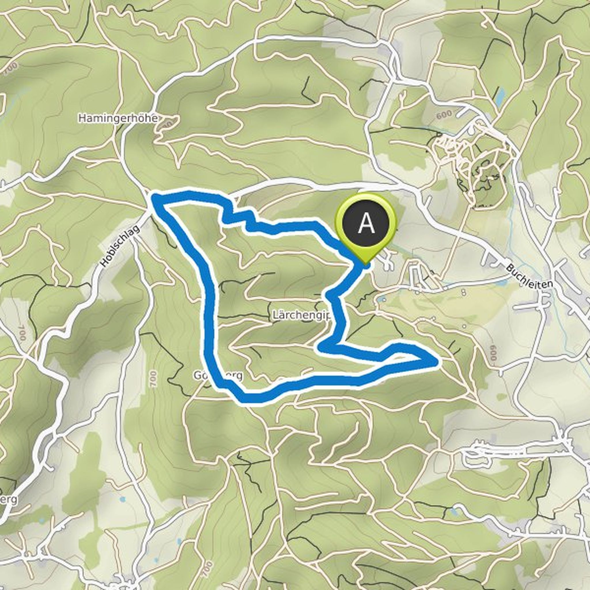
Timeline
Kerstin Satzinger planned a hike
April 25, 2019
Time
1h59m
Distance
7.42km
Speed
3.7km/h
Ascent
80m
Descent
80m

Map data © OpenStreetMap contributors
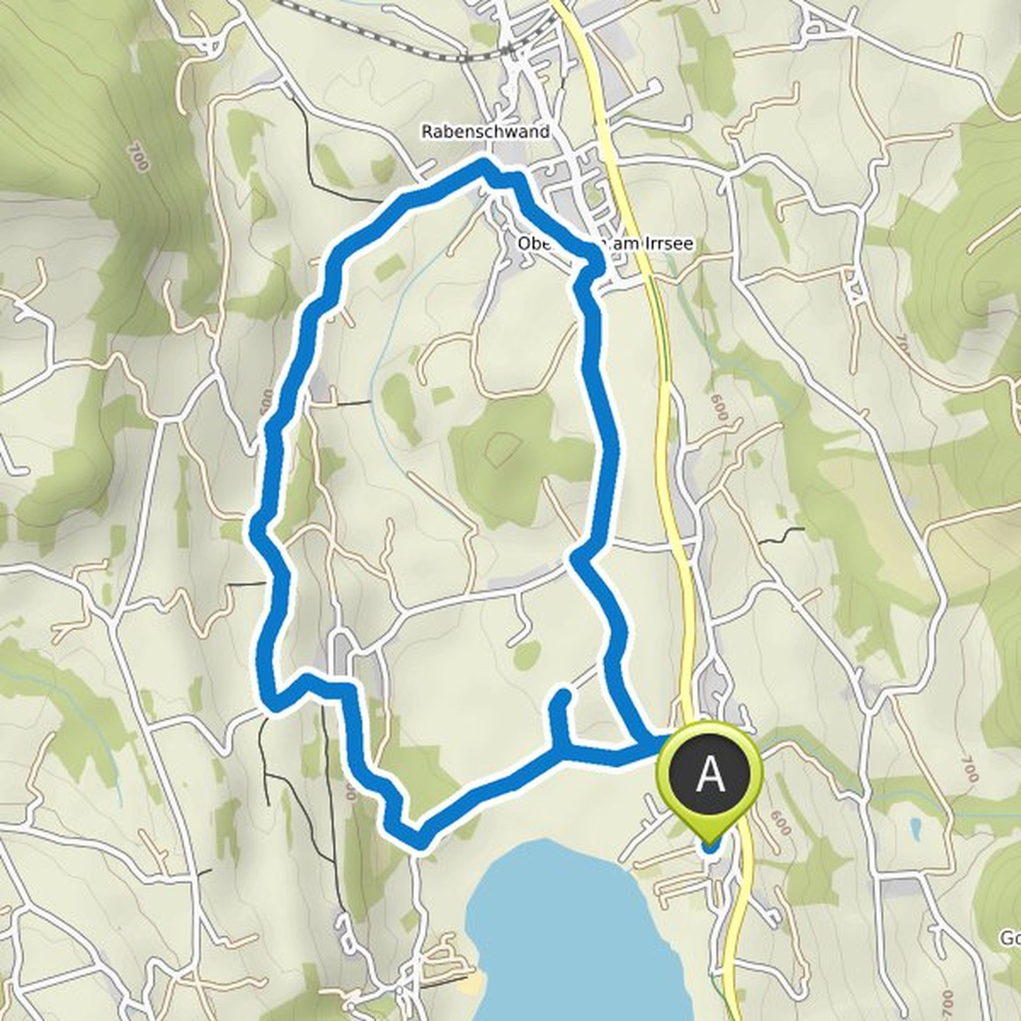
Kerstin Satzinger planned a hike
April 25, 2019
Time
1h15m
Distance
4.25km
Speed
3.4km/h
Ascent
120m
Descent
120m

Map data © OpenStreetMap contributors
Kerstin Satzinger planned a hike
April 25, 2019
Time
2h21m
Distance
8.78km
Speed
3.7km/h
Ascent
100m
Descent
100m
Map data © OpenStreetMap contributors
Kerstin Satzinger planned a hike
April 25, 2019
Time
1h54m
Distance
6.57km
Speed
3.5km/h
Ascent
170m
Descent
170m
Map data © OpenStreetMap contributors
Kerstin Satzinger planned a hike
March 16, 2019
Time
1h37m
Distance
5.60km
Speed
3.5km/h
Ascent
150m
Descent
150m

Map data © OpenStreetMap contributors
Kerstin Satzinger planned a hike
June 3, 2018
Time
1h32m
Distance
6.00km
Speed
3.9km/h
Ascent
20m
Descent
20m

Map data © OpenStreetMap contributors